THIS OBJECT WAS SOLD

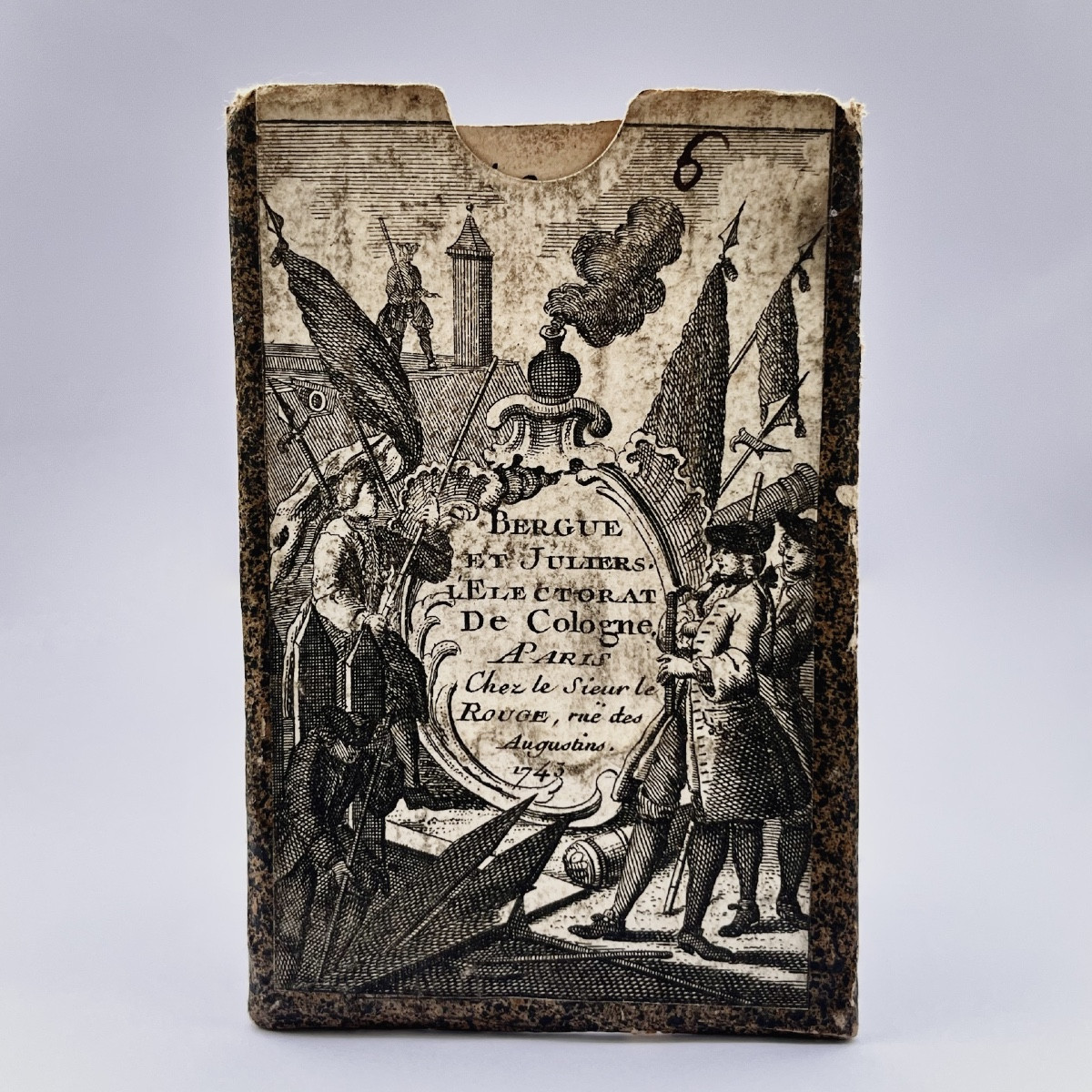
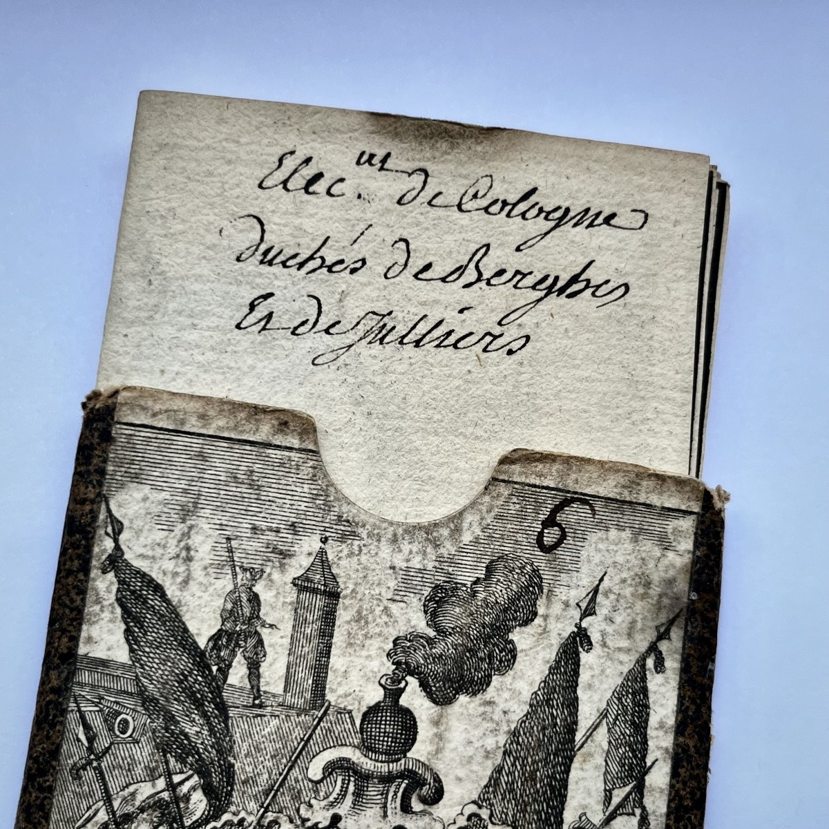
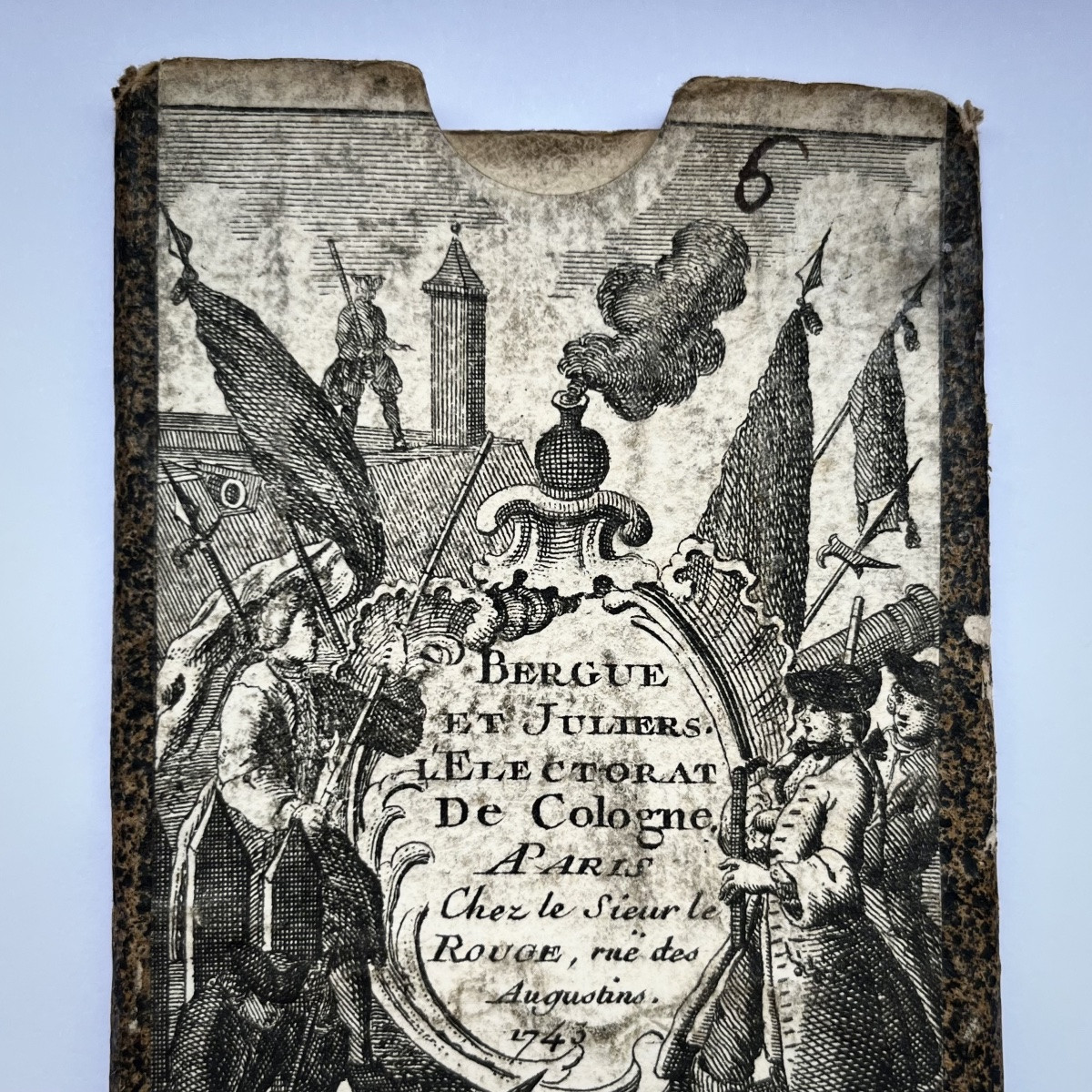
Portable Map From 1743 "the Electorate Of Cologne" In Its Case, 18th Century, Germany, 18th Century
Sold
Portable Map From 1743 "the Electorate Of Cologne" In Its Case, 18th Century, Germany, 18th Century
Sold
Portable Map From 1743 "the Electorate Of Cologne" In Its Case, 18th Century, Germany, 18th Century-photo-2
Sold
Portable Map From 1743 "the Electorate Of Cologne" In Its Case, 18th Century, Germany, 18th Century-photo-3
Sold
Portable Map From 1743 "the Electorate Of Cologne" In Its Case, 18th Century, Germany, 18th Century-photo-4
Sold
Portable Map From 1743 "the Electorate Of Cologne" In Its Case, 18th Century, Germany, 18th Century-photo-1
Sold
Portable Map From 1743 "the Electorate Of Cologne" In Its Case, 18th Century, Germany, 18th Century-photo-2
Sold
Portable Map From 1743 "the Electorate Of Cologne" In Its Case, 18th Century, Germany, 18th Century-photo-3
Sold
Portable Map From 1743 "the Electorate Of Cologne" In Its Case, 18th Century, Germany, 18th Century-photo-4
Sold
Portable Map From 1743 "the Electorate Of Cologne" In Its Case, 18th Century, Germany, 18th Century-photo-5
Sold
Portable Map From 1743 "the Electorate Of Cologne" In Its Case, 18th Century, Germany, 18th Century-photo-6
Sold
Portable Map From 1743 "the Electorate Of Cologne" In Its Case, 18th Century, Germany, 18th Century-photo-7
Sold
Portable Map From 1743 "the Electorate Of Cologne" In Its Case, 18th Century, Germany, 18th Century-photo-8
More pictures
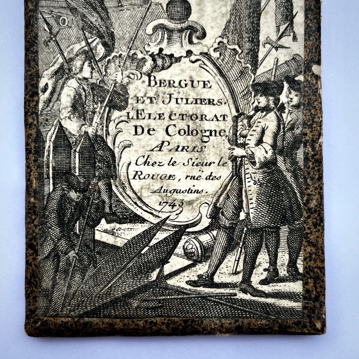
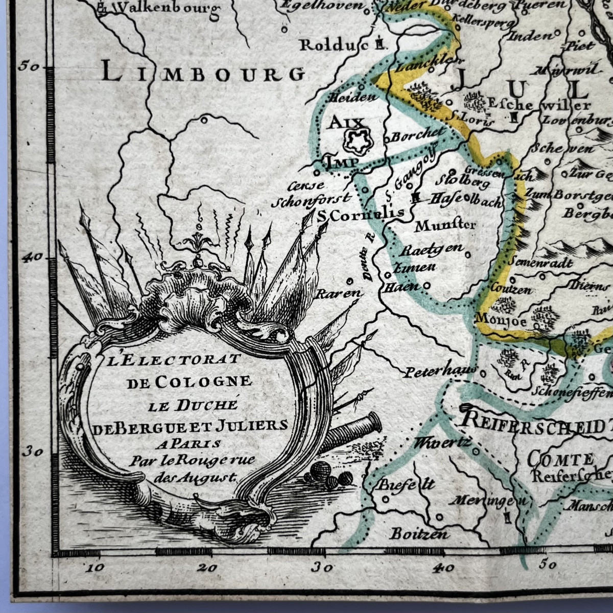
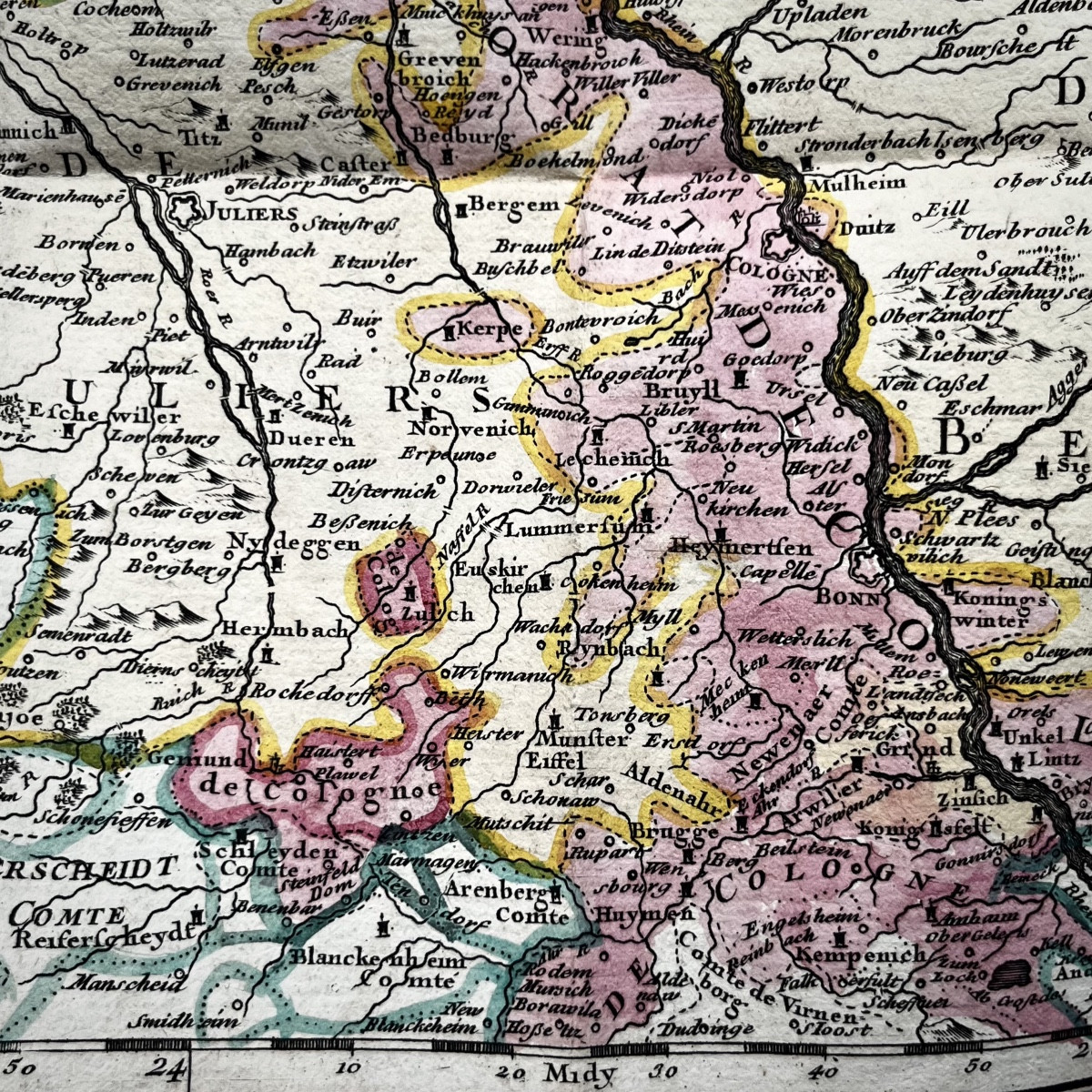
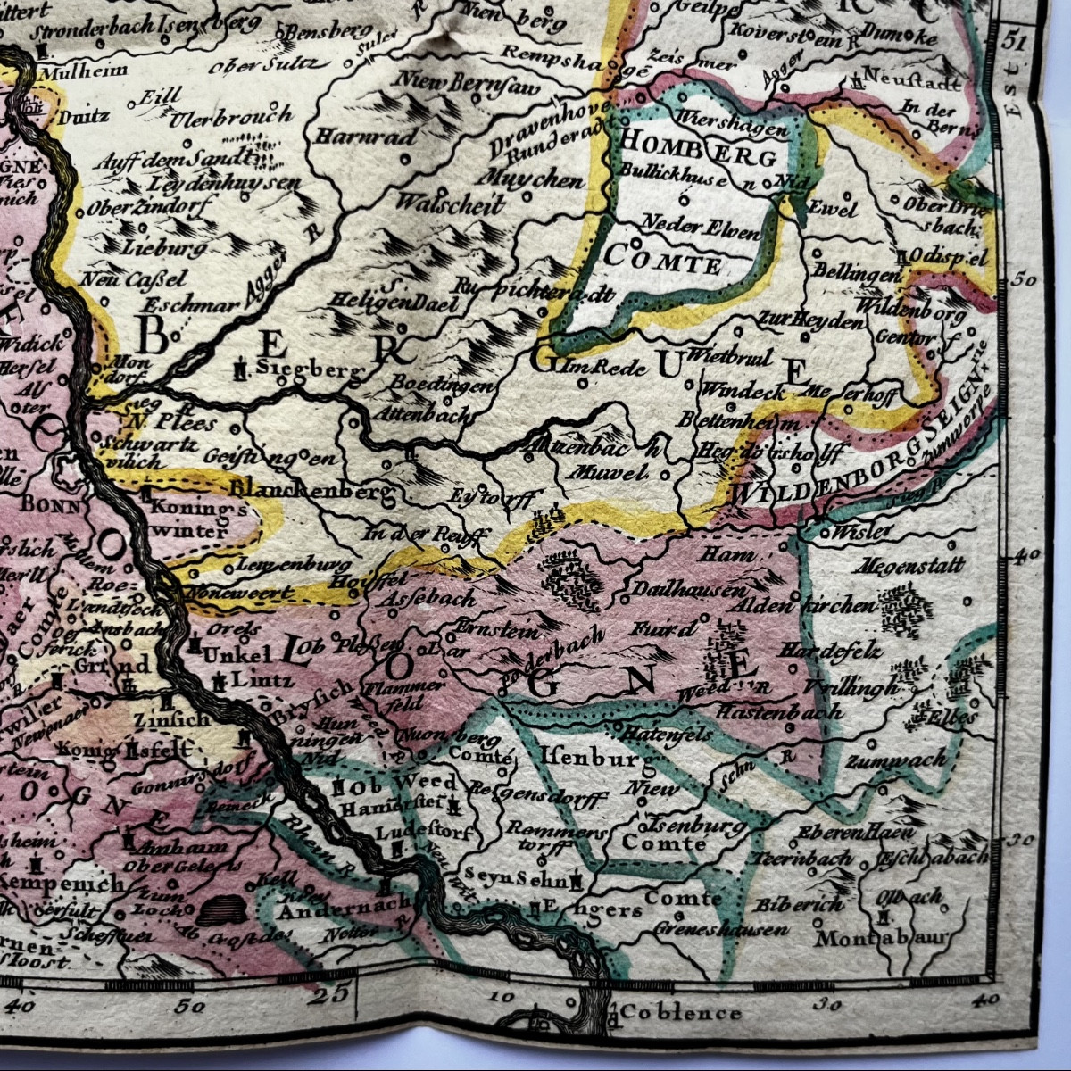
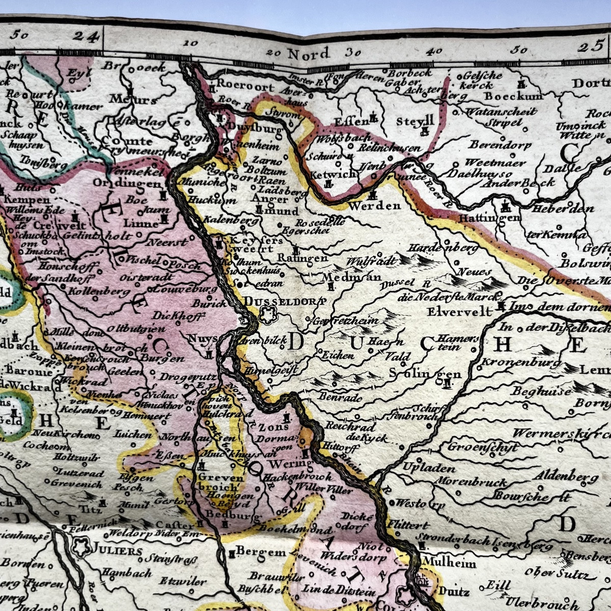
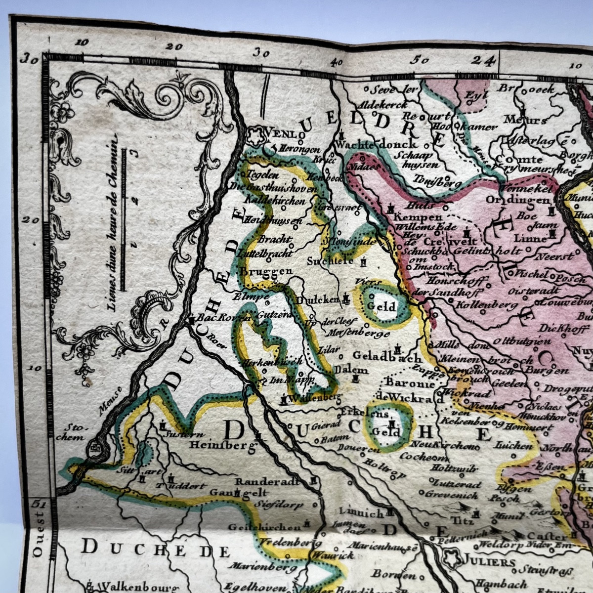
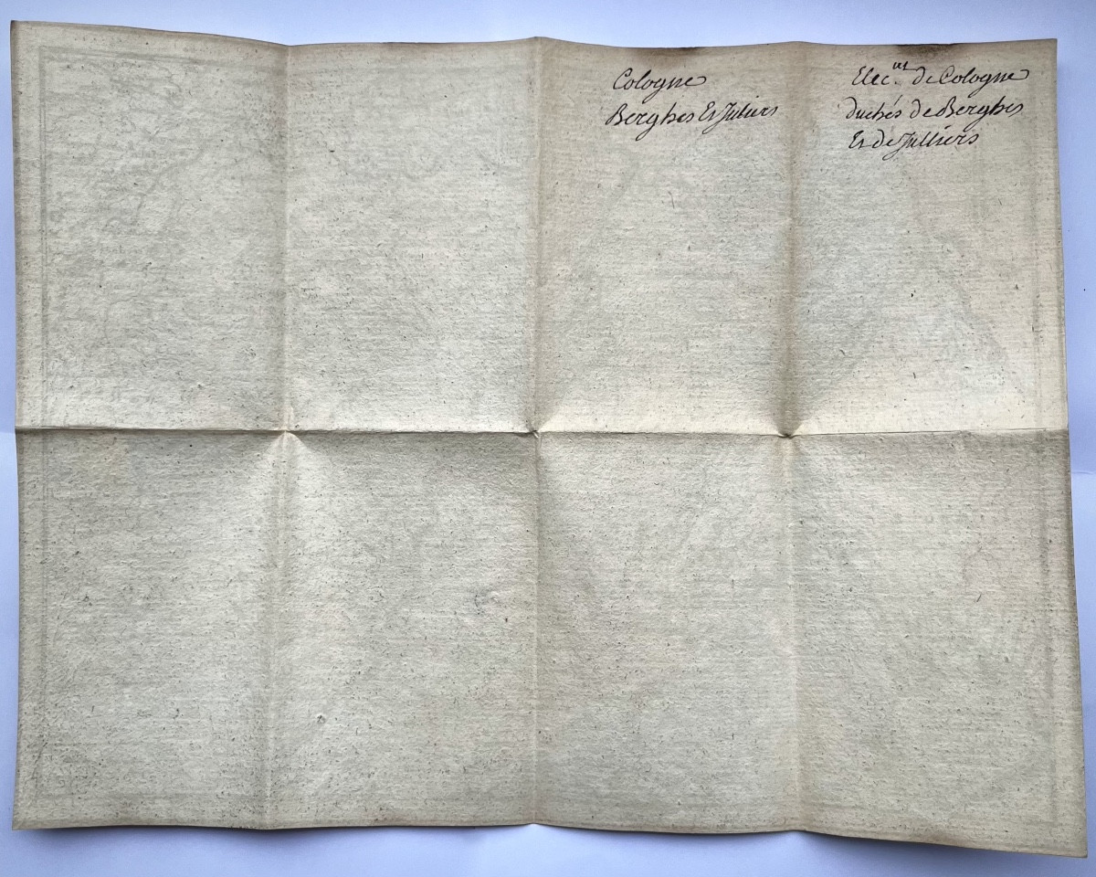
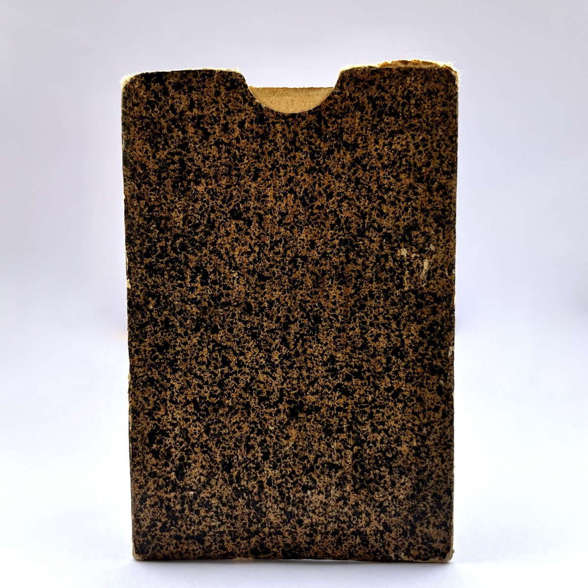
Portable map of the Cologne region, in its cardboard case. By Bergue and Juliers. Published in Paris by Sieur Le Rouge, rue des Augustins, 1743. Colored map, approximately 20 x 27 cm. Case dimensions approximately 11 x 6 cm. Good overall condition, map very fresh.

Explore similar pieces and discover your ideal find:

Old Maps
Manuscript Map Of The Riviera / Côte d'Azur 1740-1750
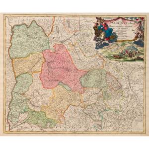
Dauphiné. 17th Century Map
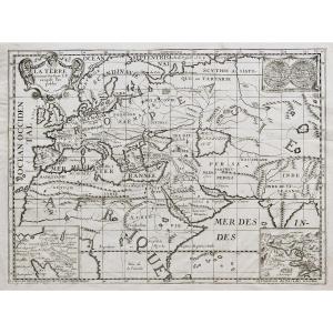
Ancient Geographic Map – The Earth At The Time Of The Gospel
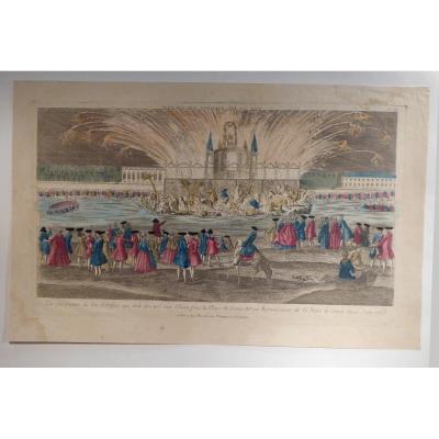
Optical View, Royal Fireworks, Paris 1763
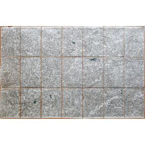
Old Map Of Périgueux – Dordogne
Geographical Map Of Bohemia Engraved By G Mercator Between 1613 And 1616 (czech Republic, Prague)

rue des Fontaines du Temple
Paris 75003, France

06 45 99 87 24

Follow the dealer

CONTACT

SIGN UP TO OUR NEWSLETTER

facebook
instagram

Galerie des Fontaines
Geographical Map Of Bohemia Engraved By G Mercator Between 1613 And 1616 (czech Republic, Prague)
1561354-main-6841d179c1a7a.jpg

06 45 99 87 24


*We will send you a confirmation email from info@proantic.com .
Please check your messages, including the spam folder.