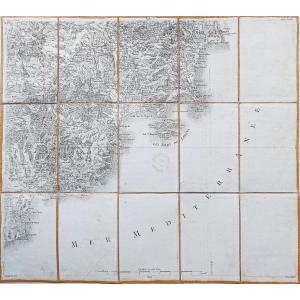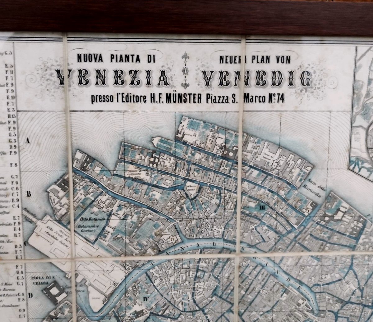
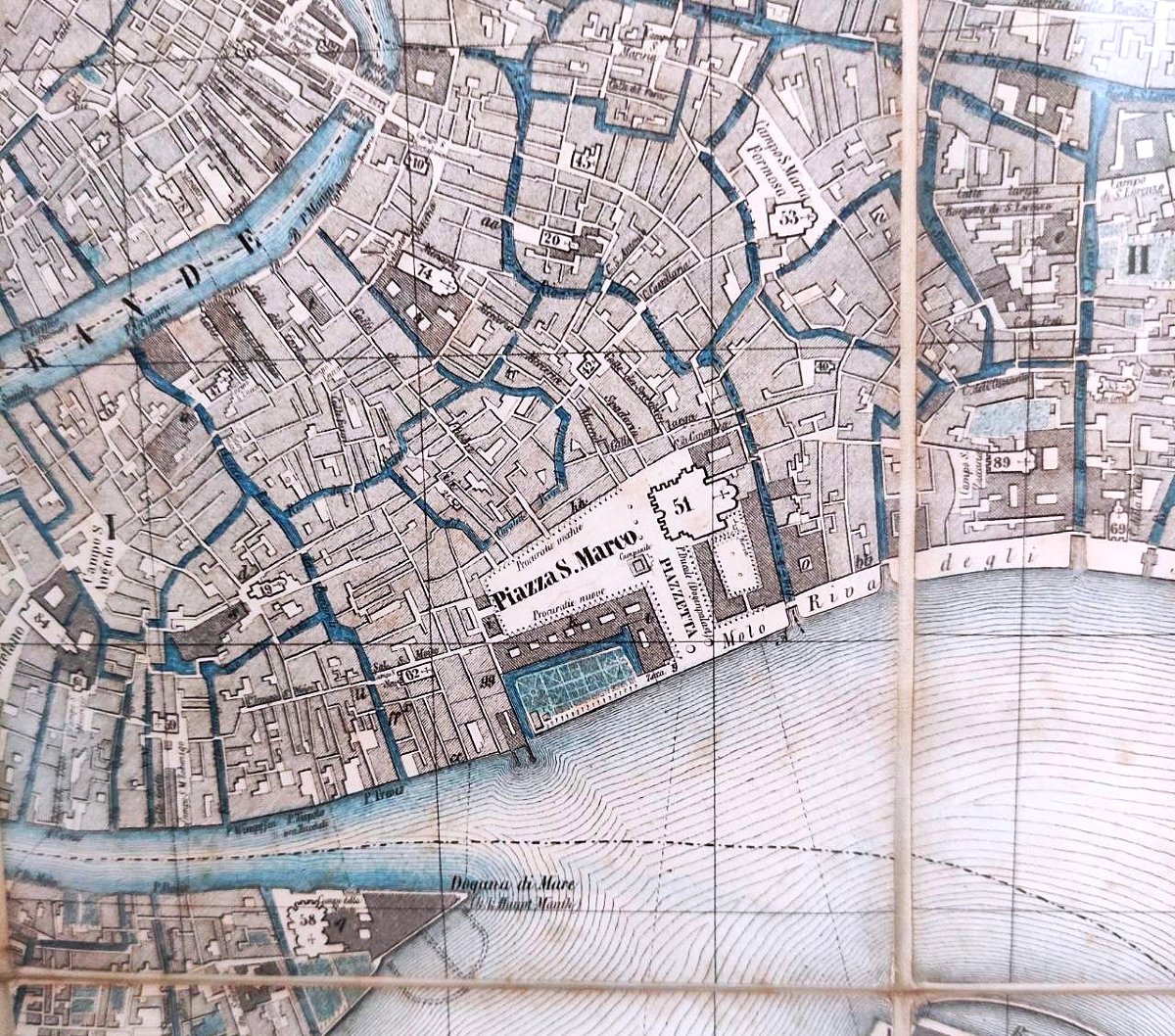


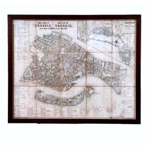


Travel Map, 'new Plan Of Venice' 1854
Bilingual fold-out travel map of the city of Venice and the Venetian Lagoon, designed for foreigners, featuring the main attractions. Printed in 1854 (bottom right).
Condition: Very good, signs of wear and tear due to use and age.
Dimensions: 57 x 46.7 cm
Condition: Very good, signs of wear and tear due to use and age.
Dimensions: 57 x 46.7 cm
160 €
Period: 19th century
Style: Other Style
Condition: Good condition
Material: Paper
Width: 57
Height: 46,7
Depth: 1,8
Reference (ID): 1736006
Availability: In stock
Print