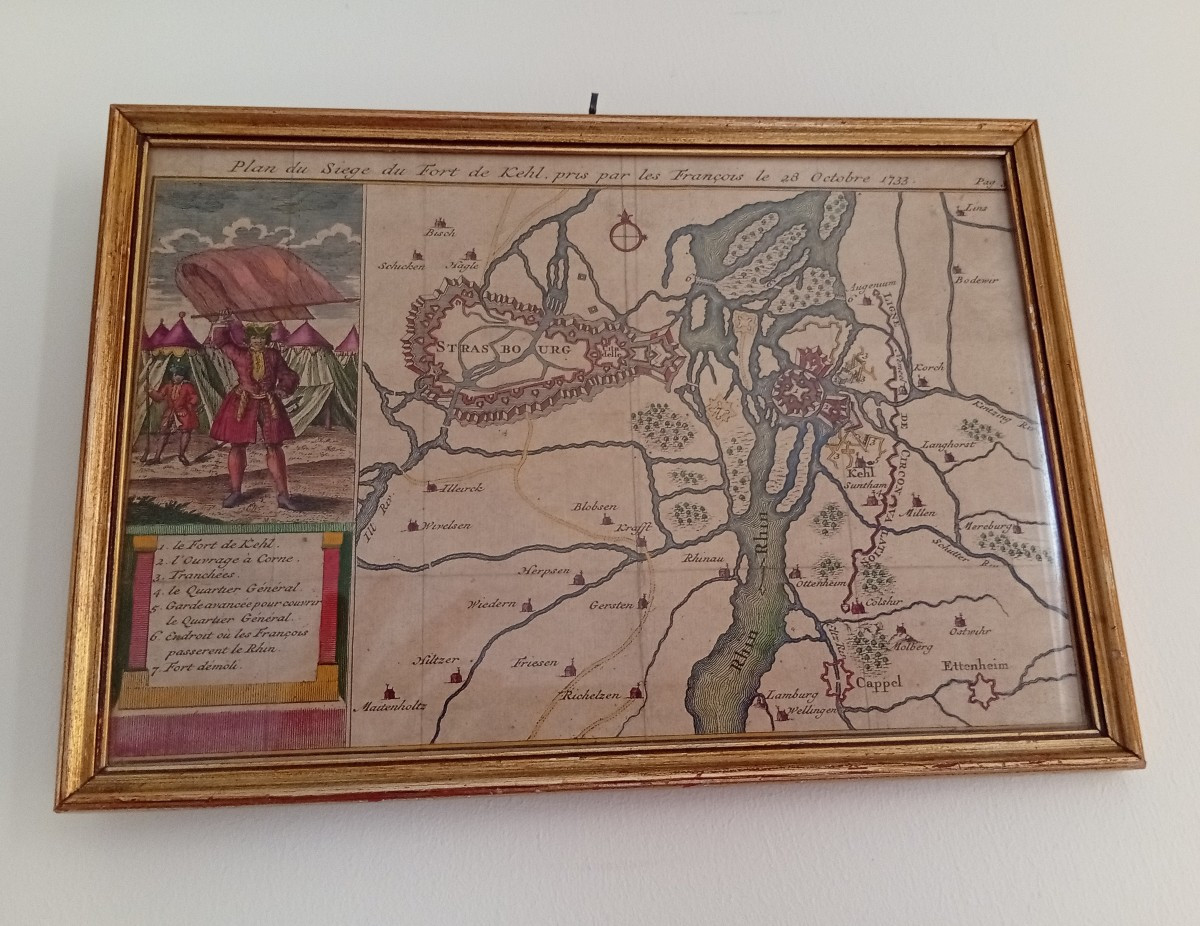

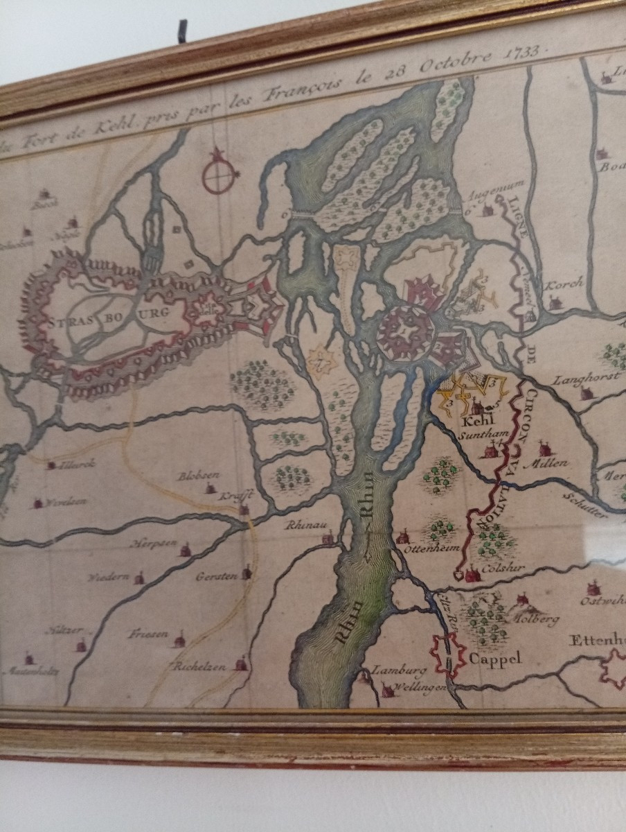
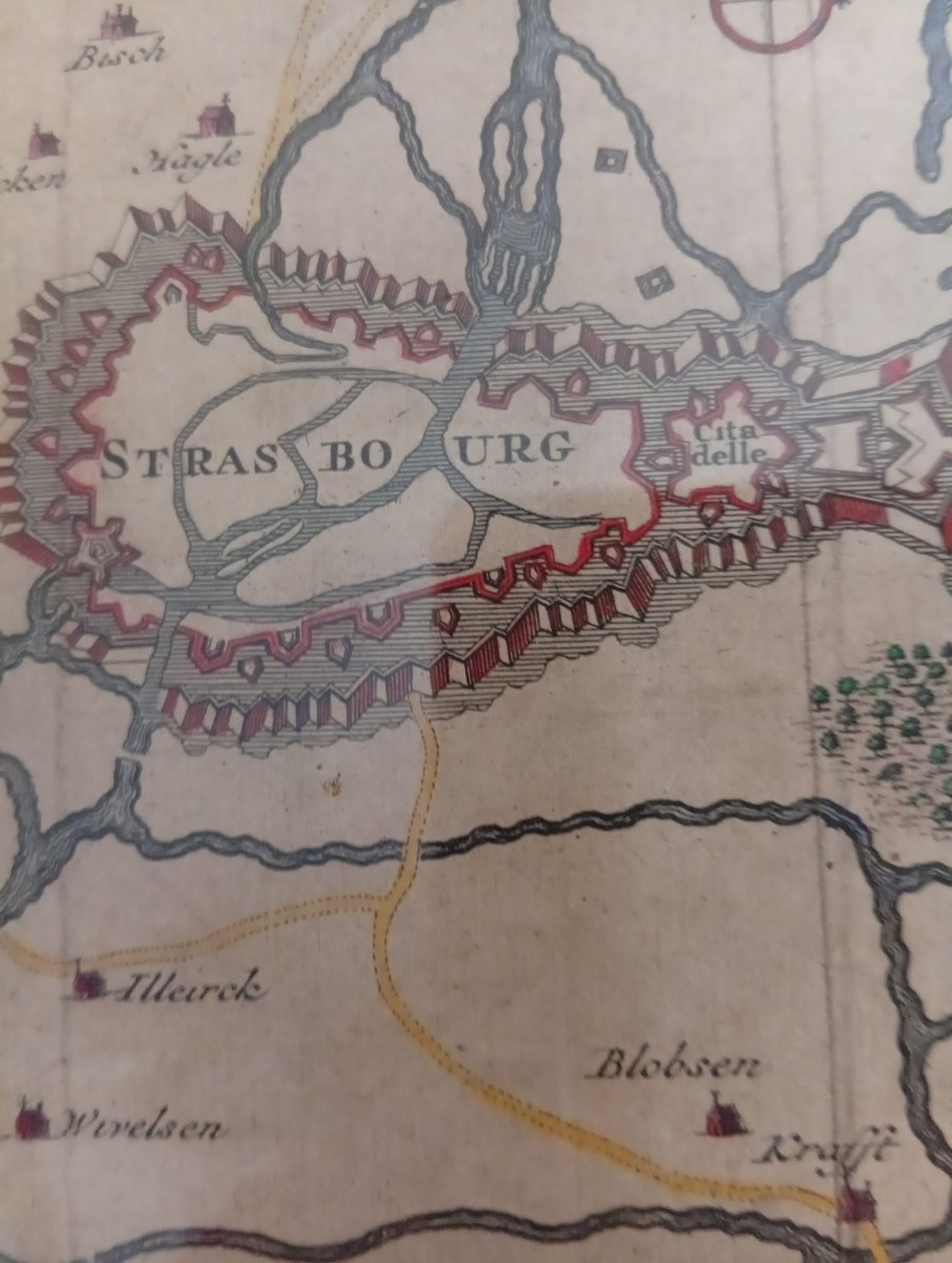
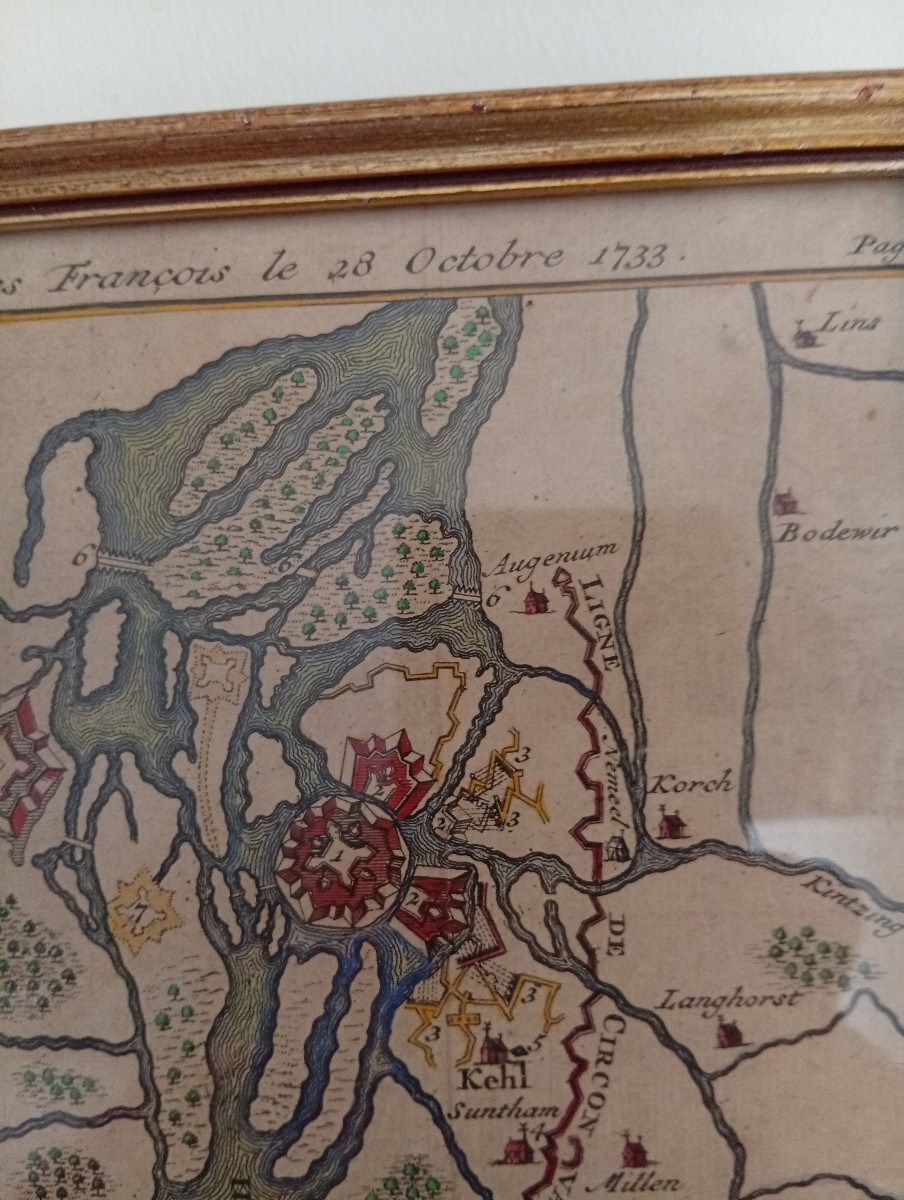
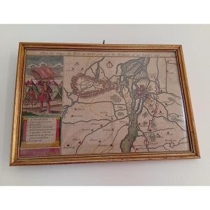


Geographical Map Of The Site Of The Kehl Fort, 1733
Map of the siege of the Kehl fort, captured by the French on October 28, 1733.
Map showing Strasbourg and the Rhine. Dimensions: 25 x 17 cm.
With frame: 28 x 20 cm.
Map showing Strasbourg and the Rhine. Dimensions: 25 x 17 cm.
With frame: 28 x 20 cm.
80 €
Period: 18th century
Style: Louis 15th - Transition
Condition: Good condition
Reference (ID): 1705340
Availability: In stock
Print