Old Maps
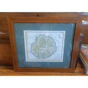
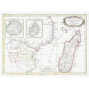
18th Century Framed Map Of Reunion Island (bourbon) By Bellin
18th century
420 €


Antique Map Of Catholic Belgium And The 10 Provinces, 1747 By Tob[...]
18th century
180 €
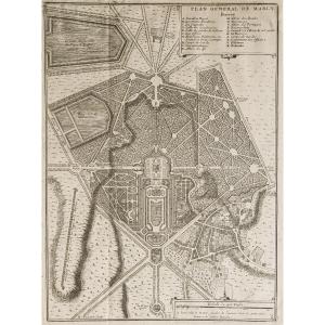
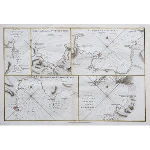
![]()


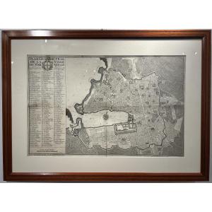
Geometrical Plan Of The City Of Marseille, Jean Pierre Besson Fil[...]
18th century
1 200 €

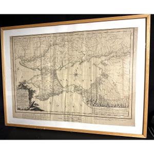
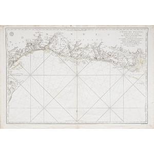
Large Map 1788, Government Of Tauride, Crimea, By Dezauche, Russi[...]
18th century
400 €
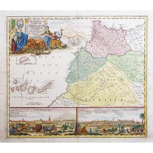
![]()


Watercolor And Framed Map Of The Province Of Brittany, Montecaler[...]
18th century
560 €


Engraving "alsatia" (alsace) Cartographer Johan Batist Homann 166[...]
18th century
900 €
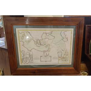
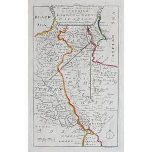
18th Century Framed Map Of New Testament Regions, Jerusalem, Holy[...]
18th century
450 €


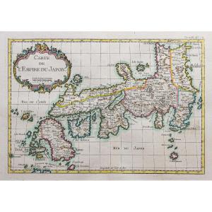
The World Known To The Ancients In 1763 By Jean-baptiste d'Anvill[...]
18th century
120 €