Old Maps
![Bourrut Lemerie [1836]. Set Of 90 Cards, Original Box](https://www.proantic.com/galerie/antiquites-porcher/img/small/1792162-main-6a50fd6279058.jpg)
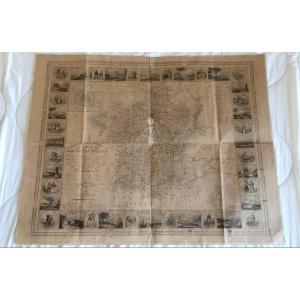

Cary - Cary's Reduction Of His Large Map Of England And Wales Wit[...]
19th century
80 €
![]()


Art Deco Baguette Frame For Maybe Algeria Tunisia Map
19th century
170 €


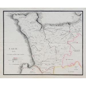
Map Of Algiers And Its Surrounding Areas Drawn Up For The 1830 Mi[...]
19th century
250 €
![]()


Embroidered Map Of The Drôme Department From The Early 19th Centu[...]
19th century
650 €
![]()

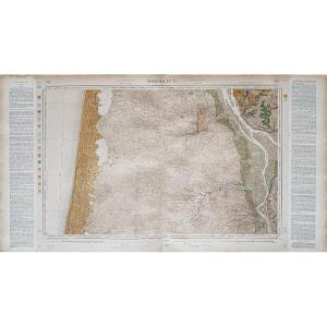
Engraving - The Pyrenees Orientales (66) - Large Departmental Map[...]
19th century
250 €
![]()

Engraving - Haut-rhin (68) - Small Departmental Map - Early 19th [...]
19th century
165 €
![]()


Framed Map Of Aveyron: Geographer Levasseur Published By Pélissie[...]
19th century
80 €

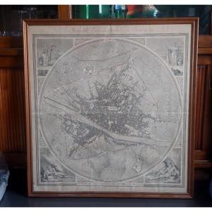
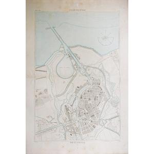
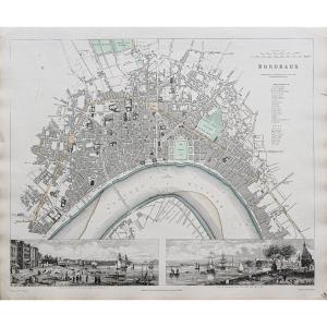
Map Of The City Of Bordeaux And Its Faux-bourgs, Jean De Bauvais,[...]
19th century
350 €


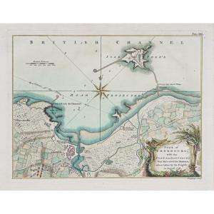
Nice, The City, The Castle; Map After Nicolas De Fer, 1705.
19th century
180 €
![]()

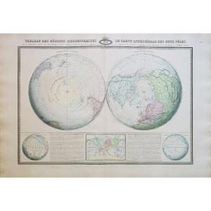
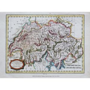
Supplementary Atlas Of The Precis Of Universal Geography, Malta B[...]
19th century
500 €
![]()

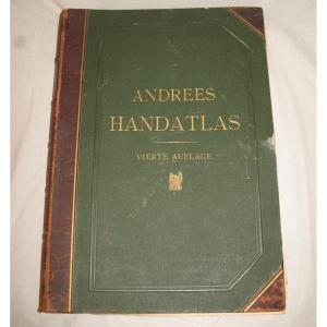
Handatlas De Andrees Collection Of Maps In German Language Atlas [...]
19th century
180 €