Old Maps

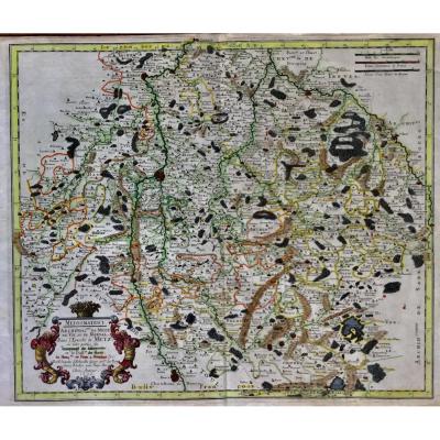
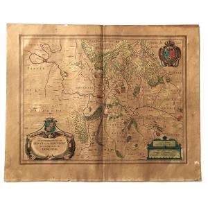
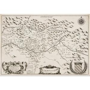
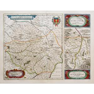
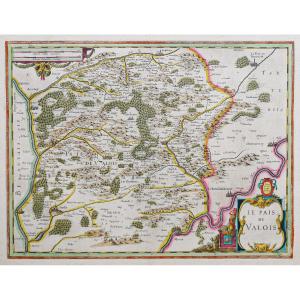
Rare Map Of Nivernois With Its Coat Of Arms (nivernais - Morvant [...]
17th century
440 €
![]()
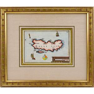
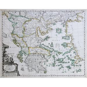
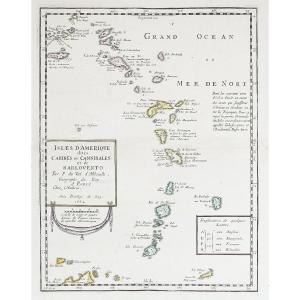
Rare Engraving Of Beautiful Island At Sea - Current Framing - Ep.[...]
17th century
480 €
![]()
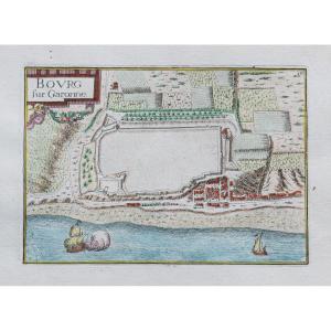
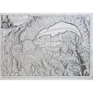
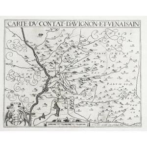
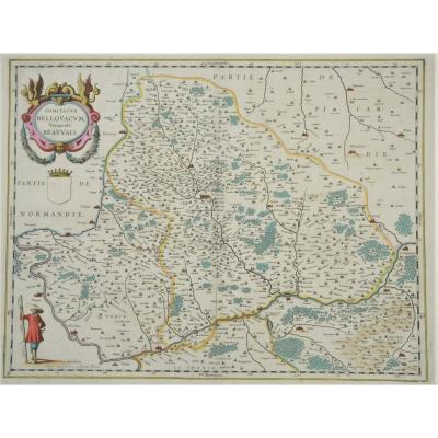
Map Of Sedan, Raucourt, Doncheri, From The 17th Century, Atlas Gu[...]
17th century
150 €

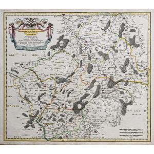
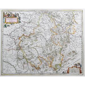
Country Of Poictou, Pictaviae Ducatus Descriptio Vulgo, Pretty Lo[...]
17th century
220 €
![]()


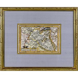
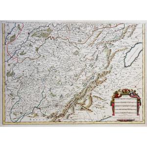
Archdiocese Of Salzburg And Duchy Of Carinthia. Map Of Jansonius.[...]
17th century
325 €

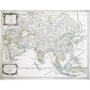


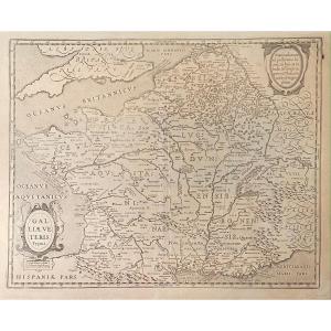
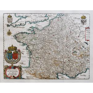
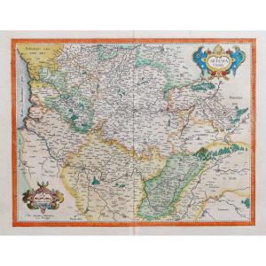
Old Map From The XVIIth Of Janssonius: Galliae Veteris Typus (rom[...]
17th century
250 €
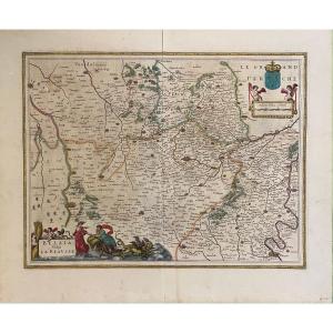
17th Century Map After Blaeu: Belsia Vulgo La Beausse (beauce)
17th century
120 €
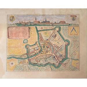
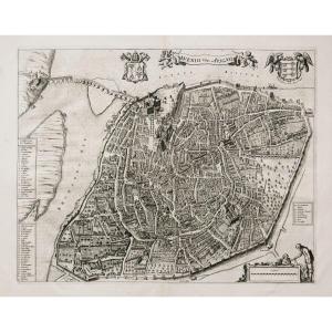
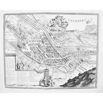
XVIIth Geographic Map Of Blaeu: Bird's Eye View Of The City Of Ar[...]
17th century
250 €


17th Century Card From Mercator: Franckenlandt. Francia Orientali[...]
17th century
180 €


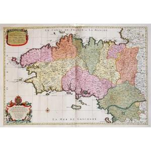
Carte Géographique Ancienne - Guyenne & Gascogne - Original Antiq[...]
17th century
145 €
![]()


Large Map Of Alsace. By Nicolaun Visscher 60 X 49 Cm. Colorful Fr[...]
17th century
480 €

Old Geographic Map Of The Coast From La Rochelle To Brouage And .[...]
17th century
580 €
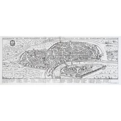
Antique Print- Description Toulouse Université Du Parlement De L[...]
17th century
2 000 €
![]()


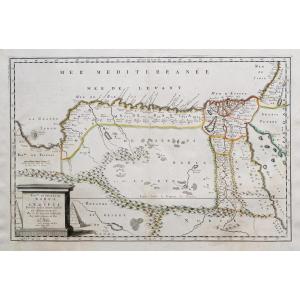
Old Geographical Map - Potamography Of Garone And Rivers That Go [...]
17th century
850 €
![]()