

Map Of The Kingdom Of Portugal, Antonio Zatta, Venice 1775, 18th Century
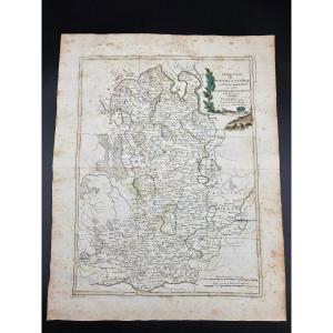
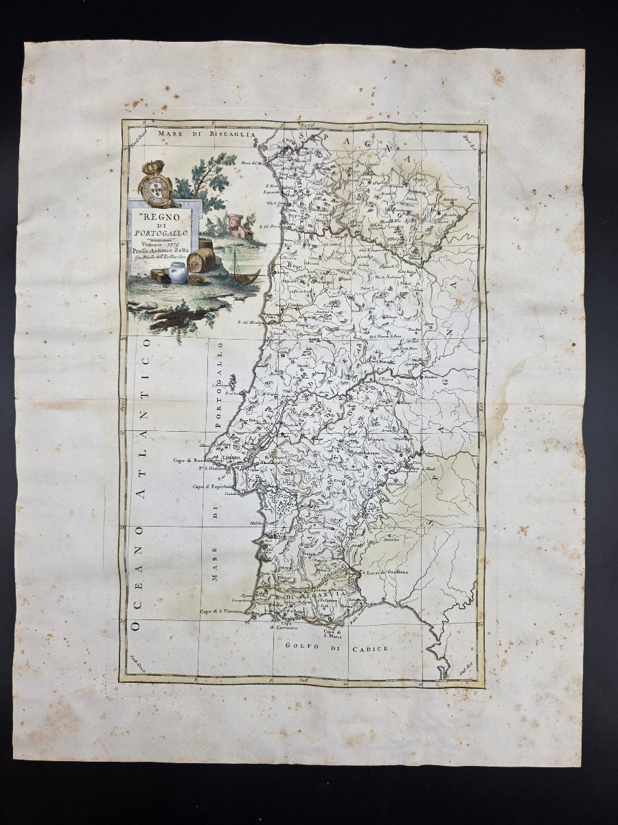
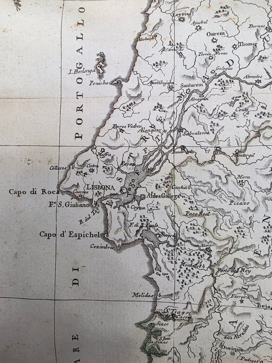
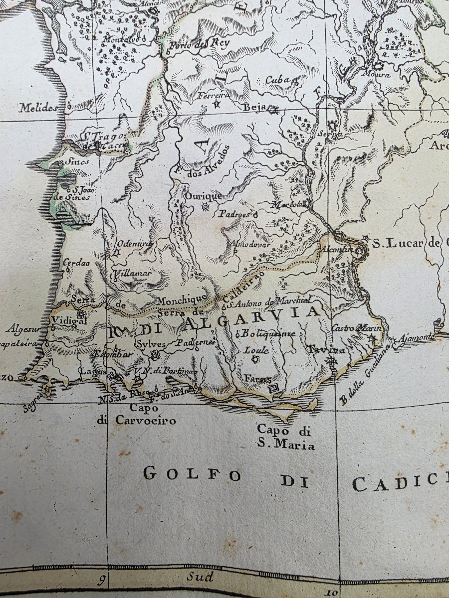
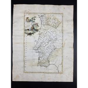
A copper engraving titled “Kingdom of Portugal,” published in Venice in 1775 by Antonio Zatta and taken from the *Atlante Novissimo*, Volume I.
The map depicts the territory of Portugal with its main administrative divisions, cities, settlements, waterways, and mountains, offering an interesting geographical representation of the country in the second half of the 18th century.
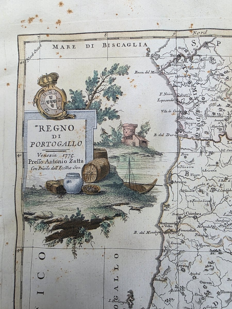
The large cartouche in the upper left corner is particularly decorative, featuring the coat of arms of Portugal and a composition including a landscape, a boat, barrels, and other elements related to trade and navigation.
Engraving on laid paper, with borders and details hand-painted in watercolor in the style of the period.
The sheet measures approximately 49 × 38 cm and consists of two sections joined in the center.
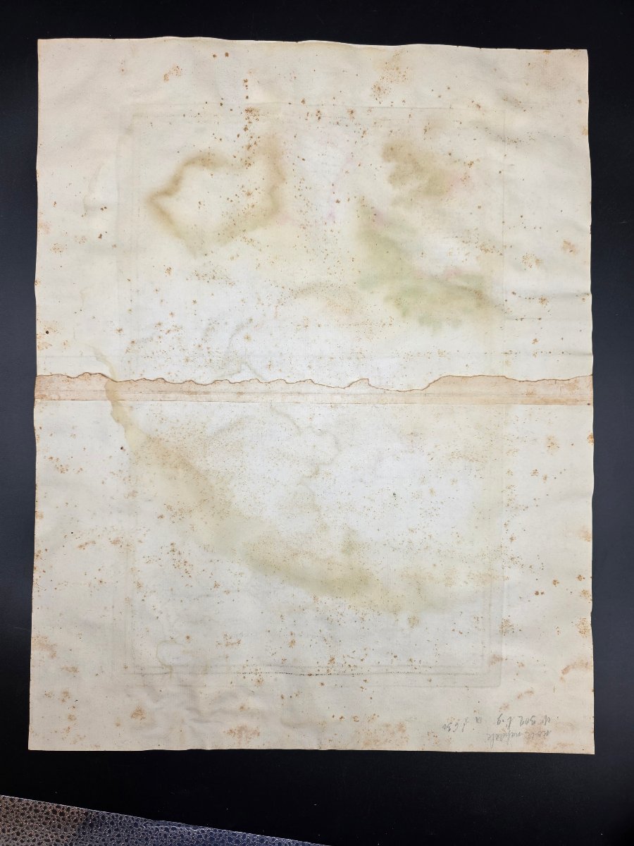
The condition is consistent with its age: there is widespread blooming and foxing, signs of aging, and slight warping of the paper. The central join between the two sheets is visible.
Venice, 1775.
For more information or additional photographs, please do not hesitate to contact us.
Shipping available worldwide.
350 €
Period: 18th century
Style: Louis 16th, Directory
Condition: En l'etat
Material: Paper
Width: 49
Height: 38.5
Reference (ID): 1823130
Availability: In stock
Print