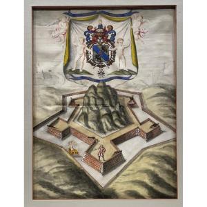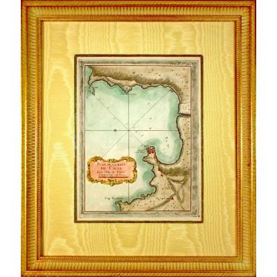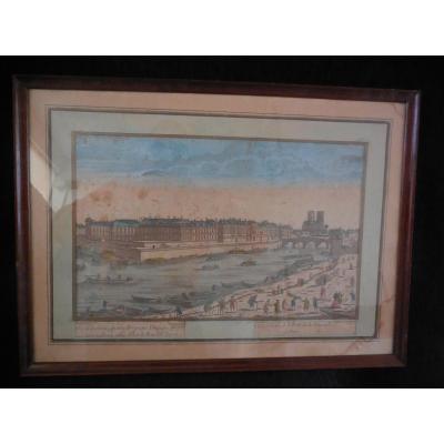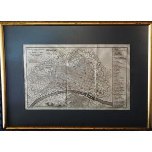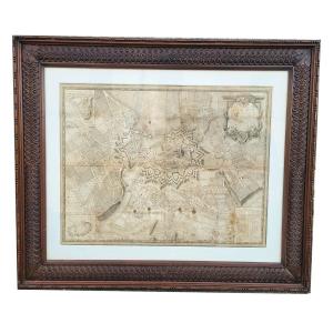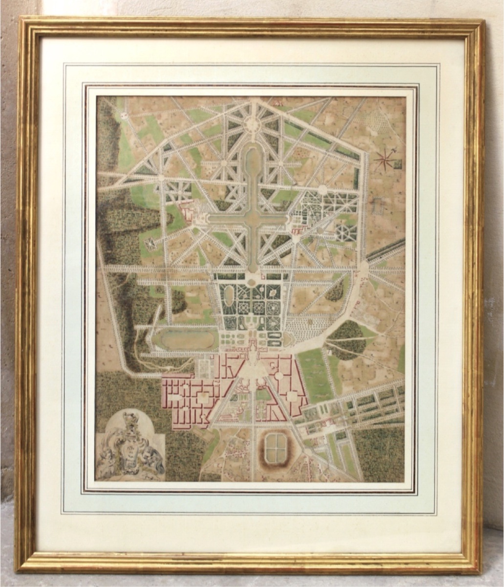
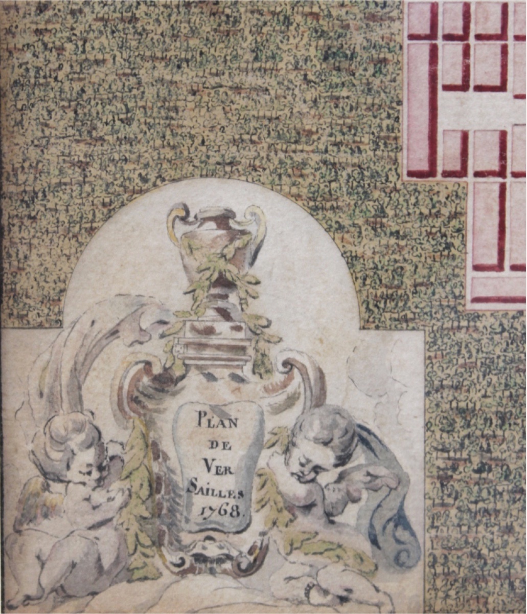



18th-century French School - Map Of Versailles, 1768 - Ink And Watercolor
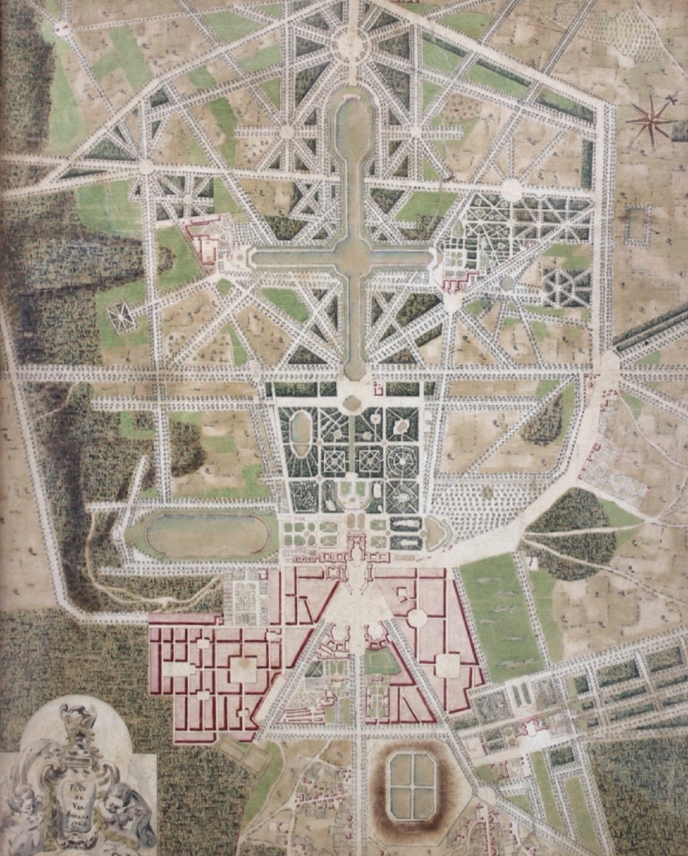
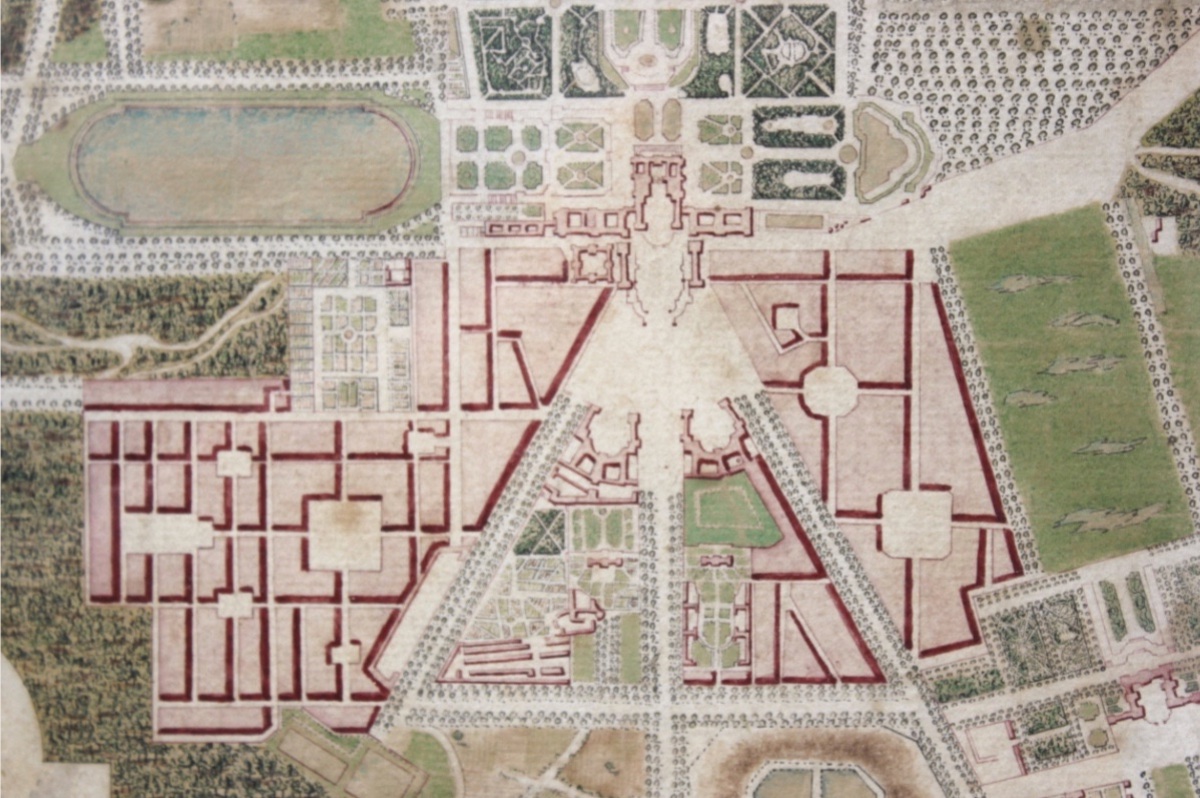
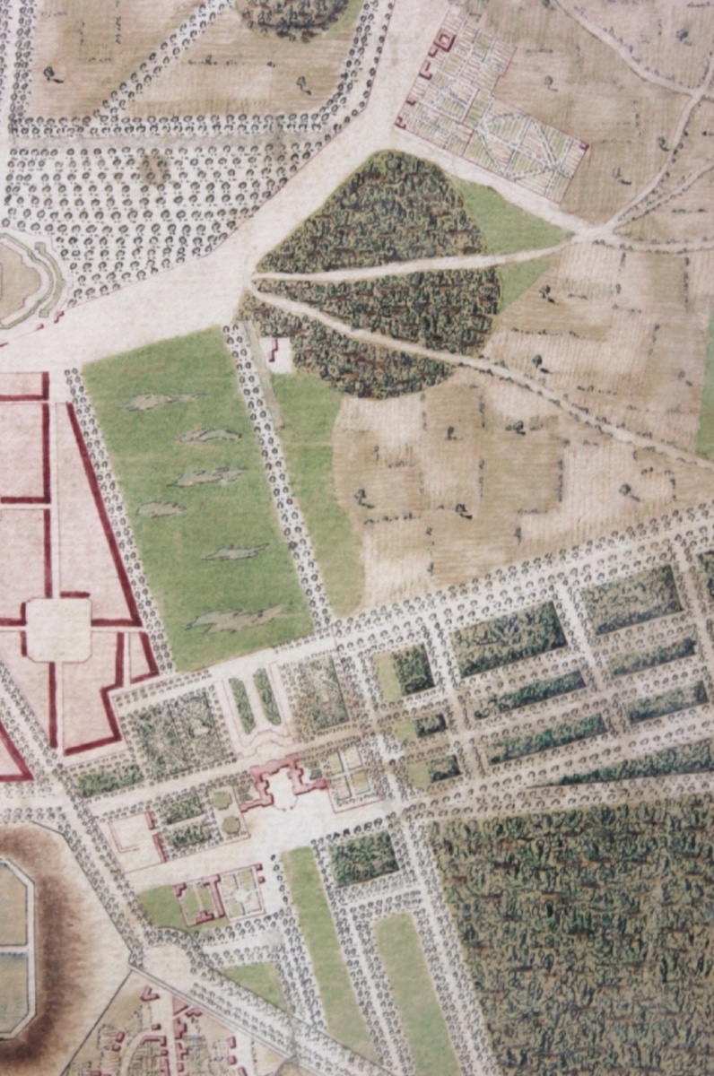
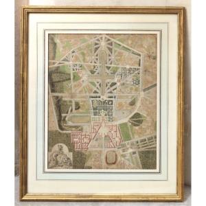
A bird’s-eye view of Versailles depicting the palace and its grounds, created in 1768 in ink and watercolor on paper.
36 × 29 cm (image only); 52 × 43.5 cm with frame (under glass).
A very rare original 18th-century map, executed entirely by hand in ink and watercolor. The level of detail and precision of the drawing make it a faithful record of the state of the Versailles estate and its surroundings at that time.
Such maps were created by engineers, geographers, or draftsmen using topographic surveys conducted in the field (measurements, triangulation, and observations), which were then transferred and meticulously drawn to scale in a studio.
Maps similar to this one are now preserved in the collections of the Bibliothèque nationale de France or in those of museums.
Period: 18th century
Style: Louis 15th - Transition
Condition: Excellent condition
Material: Paper
Length: 52 cm
Width: 43,5 cm
Reference (ID): 1838158
Availability: In stock