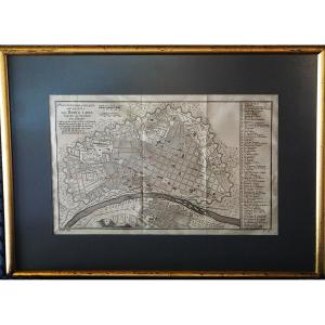


Old Map Of Lima, City Of Kings / Jacques-nicolas Bellin (1703–1772) / 18th Century
ANTIQUE MAP OF LIMA, CITY OF KINGS
JACQUES-NICOLAS BELLIN (1703–1772)
18th CENTURY
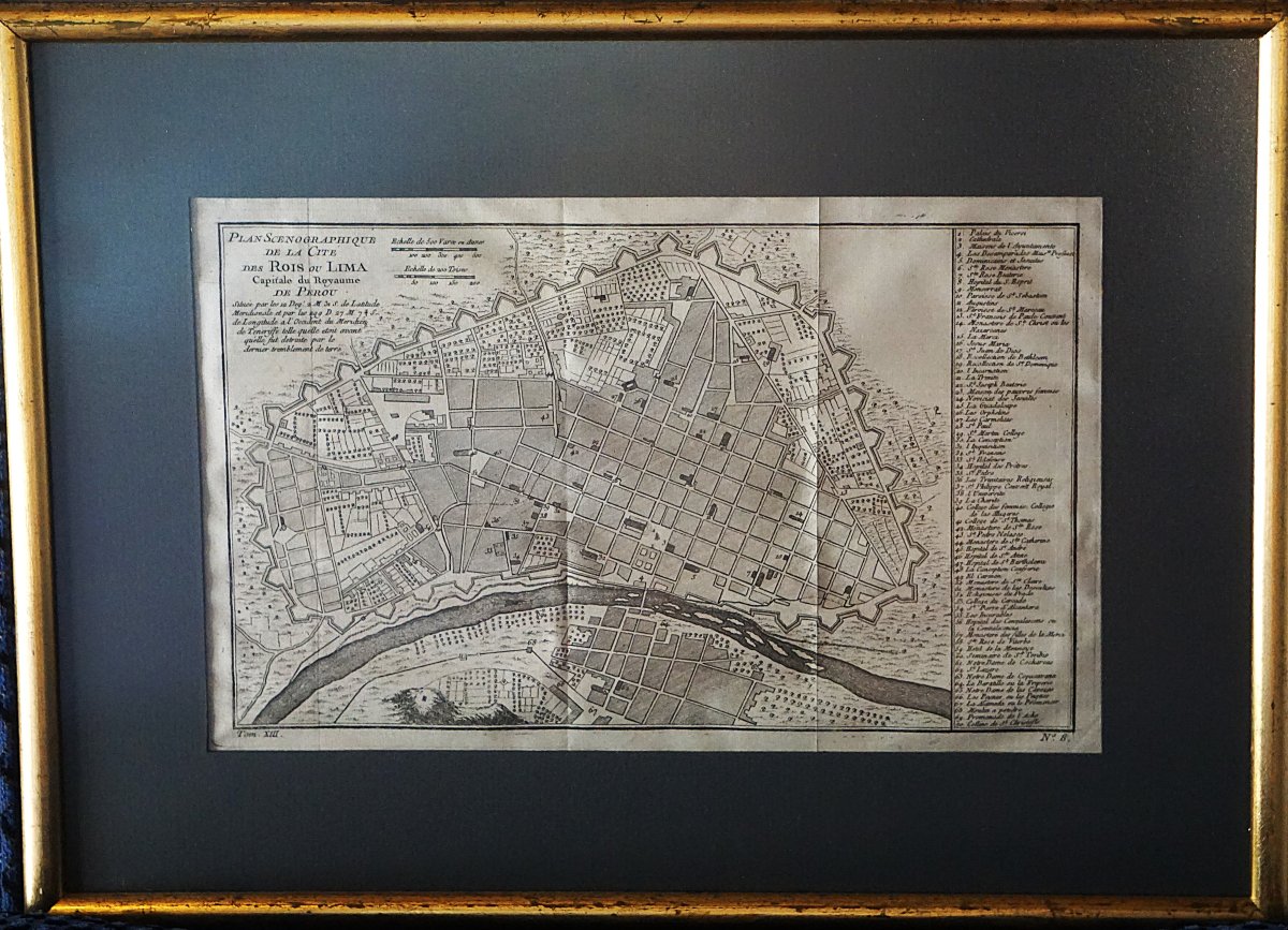
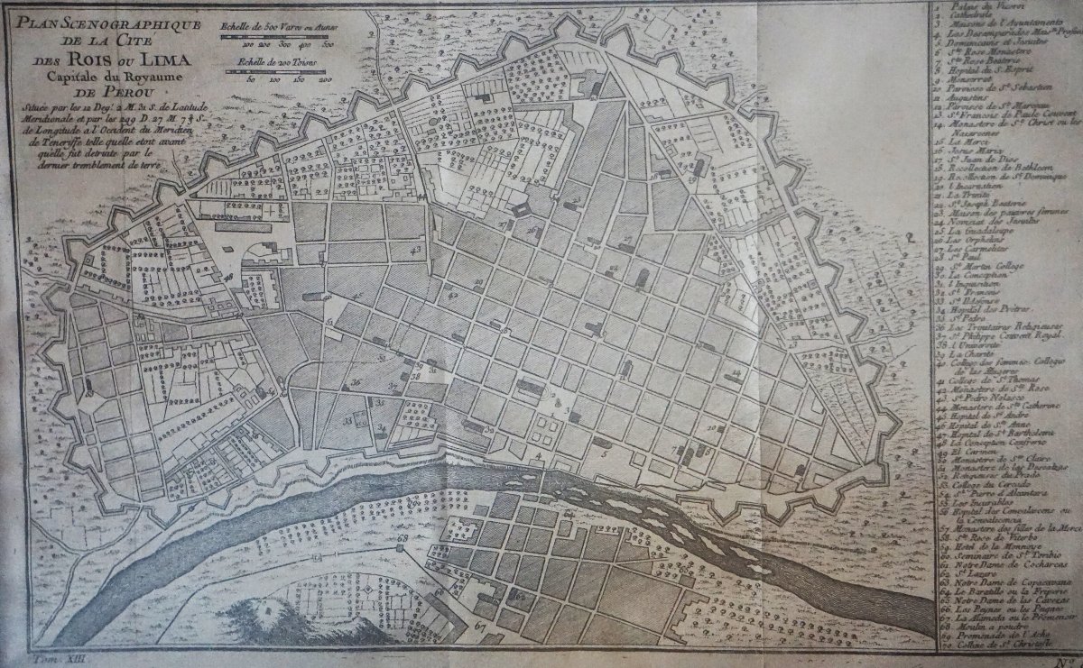
This antique map depicts Lima, then known as the “City of Kings” and capital of the Kingdom of Peru.
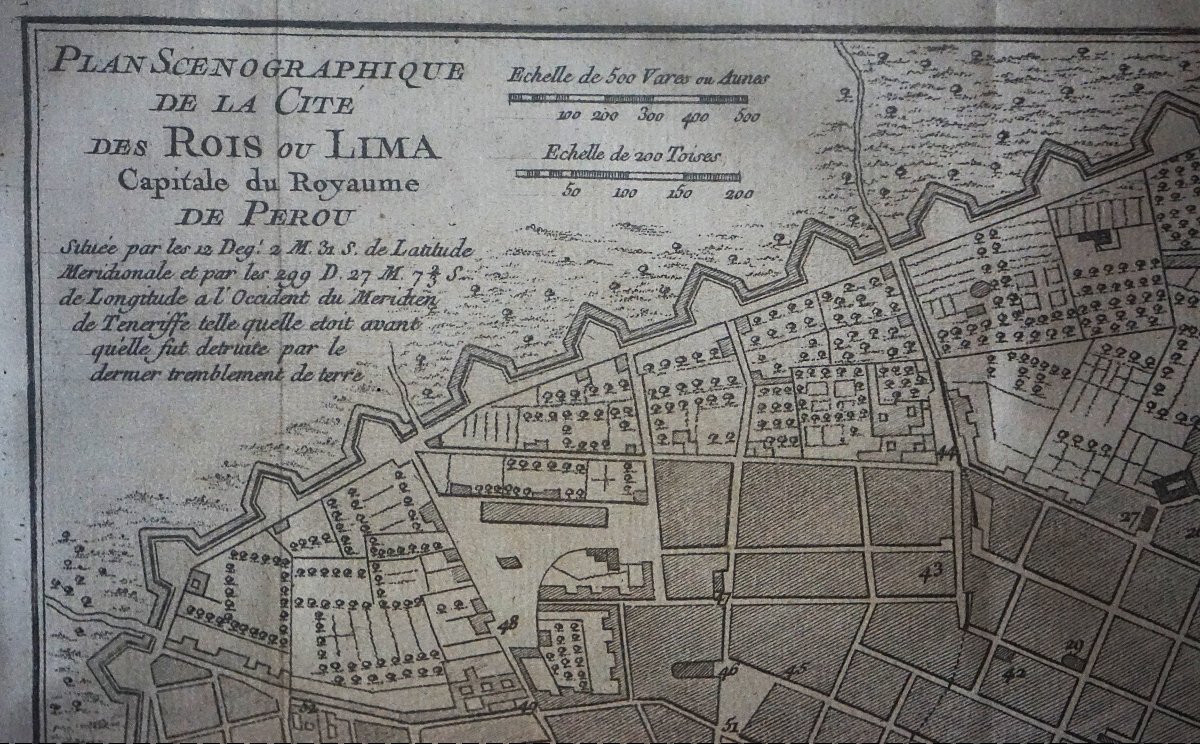
The detailed map shows the fortified city, its streets and neighborhoods, the river, and its main buildings, listed in the legend on the side.
The inscription specifies that Lima is depicted before its destruction by the “last earthquake,” referring to the 1746 earthquake. The map is attributed to the French geographer Jacques-Nicolas Bellin (1703–1772) and dates from the mid-18th century. It was published in Abbé Prévost’s *Histoire générale des voyages*.
Dimensions of the engraving: 21 × 34 cm
Dimensions with frame: 35 × 48 cm
Condition: signs of age and visible creases, reflecting its age.
Period: 18th century
Style: Louis 15th - Transition
Condition: Excellent condition
Material: Paper
Reference (ID): 1828541
Availability: In stock