

Portable Sundial From The Louis XVI Period, Southern Germany, Circa 1790
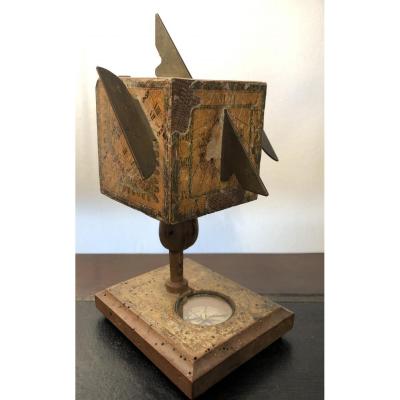
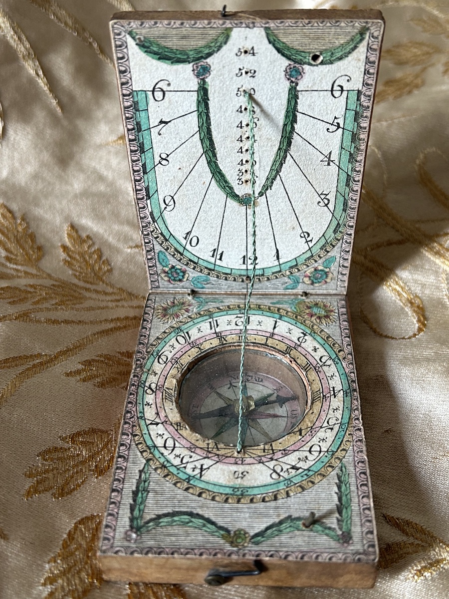
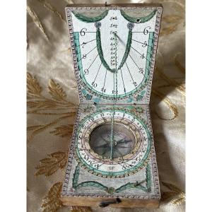
Portable diptych-style sundial complete with its original compass, dating from the late 18th century (Louis XVI–Directoire period, circa 1790).
This pocket-sized scientific instrument comes from the famous workshops of Nuremberg or Fürth in southern Germany (a circle of renowned manufacturers such as Ernst Christoph Stockert, David Beringer or Johann Georg Kleininger).
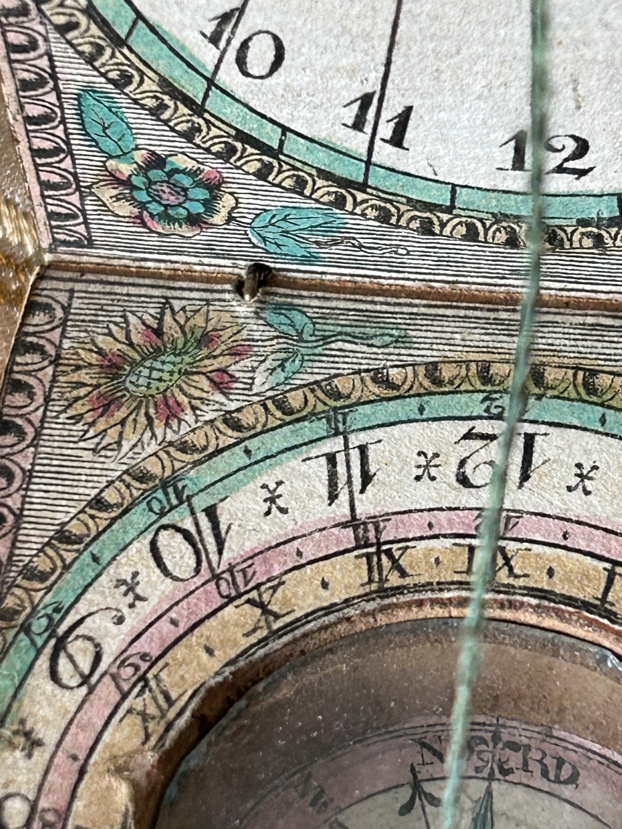
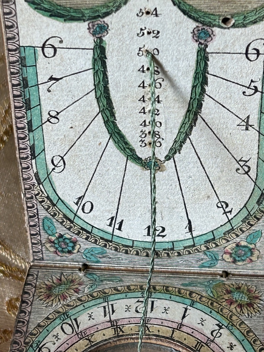
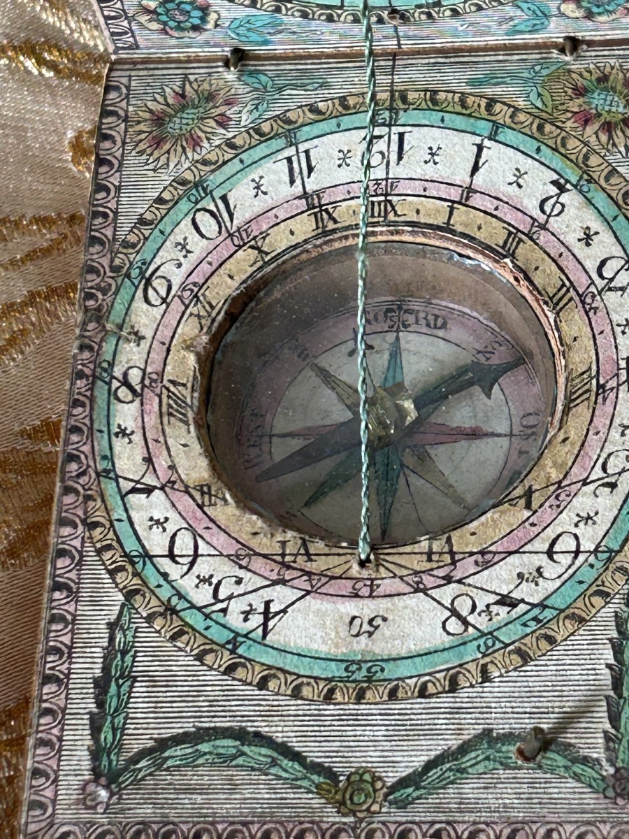
The object takes the form of a small, oblong, folding box made of lightweight wood, held together by two original metal hinges. The inner and outer surfaces are covered with engravings on paper, finely enhanced by hand with watercolors in a characteristic neoclassical palette combining water green, powder pink, and soft yellow. Characteristics and scientific details:
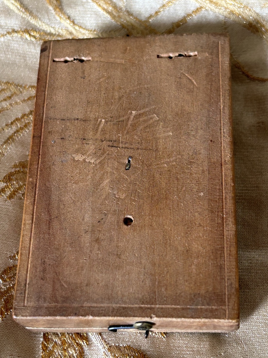
In excellent condition for a mounted paper item of this era. The watercolor decoration remains vibrant and legible. Functional brass hinges and clasp. Original silk thread and compass. A few natural signs of use and slight scuff marks on the paper on the back, attesting to its authenticity and its journey through the centuries. A truly beautiful display piece, serving both as a scientific testament to the art of gnomonics and as a precious poetic testament to the history of travel during the Age of Enlightenment.
This pocket-sized scientific instrument comes from the famous workshops of Nuremberg or Fürth in southern Germany (a circle of renowned manufacturers such as Ernst Christoph Stockert, David Beringer or Johann Georg Kleininger).
The object takes the form of a small, oblong, folding box made of lightweight wood, held together by two original metal hinges. The inner and outer surfaces are covered with engravings on paper, finely enhanced by hand with watercolors in a characteristic neoclassical palette combining water green, powder pink, and soft yellow. Characteristics and scientific details:
- Upper panel (vertical): The interior surface features a vertical sundial with radiating hour lines (graduated from 6 to 12 and then from 1 to 6). It also includes a vertical graduated scale for adjusting the gnomon thread.
- Lower panel (horizontal): Features a period-correct compass in its center, preserved under its original glass, equipped with a fully functional blued steel needle. The compass is surrounded by several engraved and colored concentric hour circles. The original gnomon thread, made of two-tone braided silk, perfectly connects the two panels to cast the shadow.
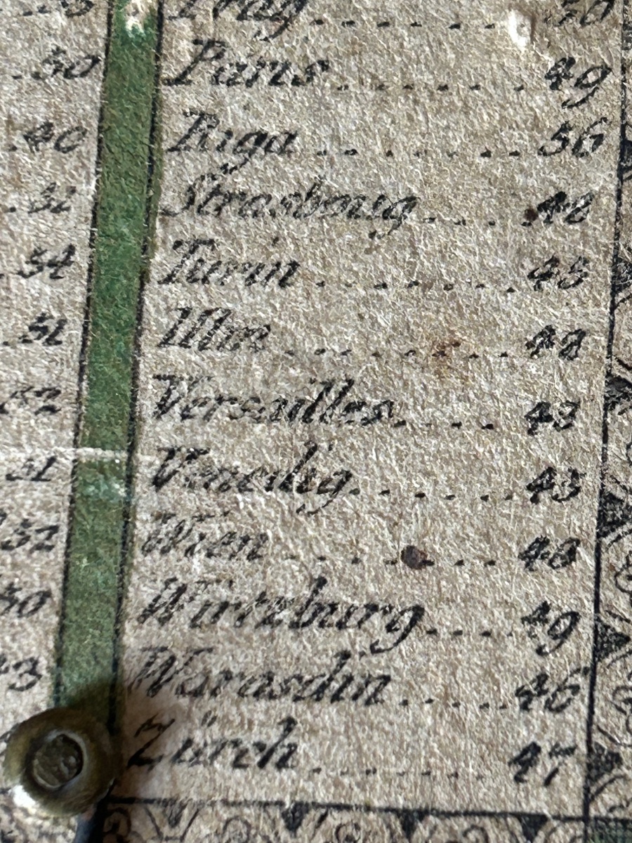
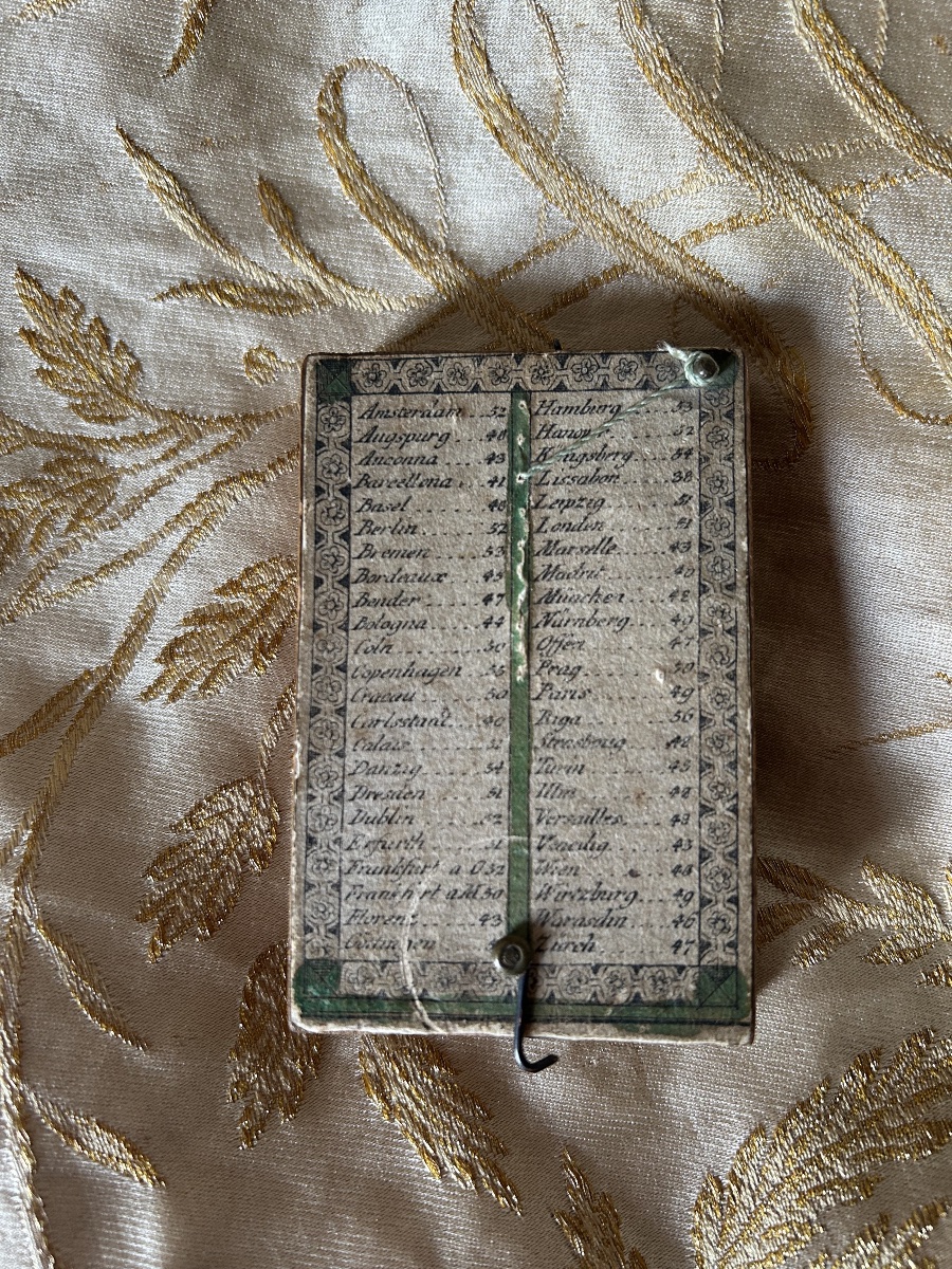
- Outer side (Table of Cities): The underside of the box features its original table of latitudes, printed on paper, listing the major European cities essential for travelers on the Grand Tour, among which are explicitly listed Paris (49°), Strasbourg (48°), Versailles (48°), Turin (45°), Vienna (48°), Venice (45°), and Zurich (47°).
In excellent condition for a mounted paper item of this era. The watercolor decoration remains vibrant and legible. Functional brass hinges and clasp. Original silk thread and compass. A few natural signs of use and slight scuff marks on the paper on the back, attesting to its authenticity and its journey through the centuries. A truly beautiful display piece, serving both as a scientific testament to the art of gnomonics and as a precious poetic testament to the history of travel during the Age of Enlightenment.
- Period: Late 18th century (circa 1790)
- Origin: Southern Germany (Nuremberg / Fürth)
- Materials: Wooden core, engraved and watercolor-painted paper, glass, brass, silk thread.
- Dimensions: Approximately 8.5 cm x 5.5 cm (closed).
690 €
Period: 18th century
Style: Louis 16th, Directory
Condition: Excellent condition
Material: Cardboard
Reference (ID): 1835539
Availability: In stock
Print