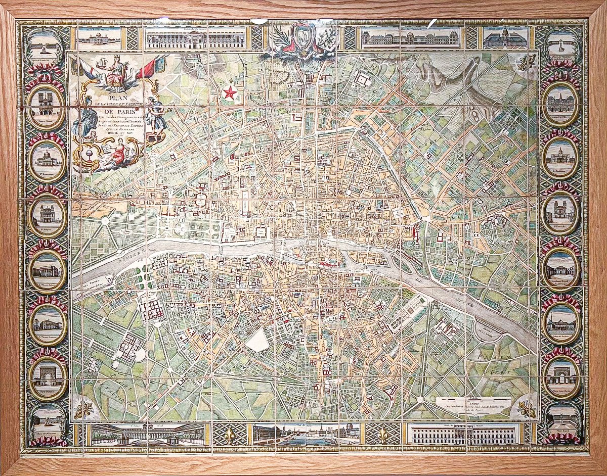
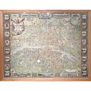
Large Wall Map Of The City And Suburbs Of Paris
Featuring all the changes and additions that have been made and are planned, highlighted by the major buildings it contains; Dedicated to the King.
Paris, published by Mondhare, Rue Saint-Jacques, 1786.
Large wall map created by Mondhare. Beautiful watercolor hues. A brown mark in the lower right corner near the Hôtel des Monnoye.
Originally mounted on canvas in 45 sections.
Very good condition for this rare large map of Paris. Depictions of the capital’s major monuments surround the map.
Sheet size: 127 x 99.5 cm.
Framed size: 130 x 102 cm.
Original antique map from 1786
Paris, published by Mondhare, Rue Saint-Jacques, 1786.
Large wall map created by Mondhare. Beautiful watercolor hues. A brown mark in the lower right corner near the Hôtel des Monnoye.
Originally mounted on canvas in 45 sections.
Very good condition for this rare large map of Paris. Depictions of the capital’s major monuments surround the map.
Sheet size: 127 x 99.5 cm.
Framed size: 130 x 102 cm.
Original antique map from 1786
4 800 €
Period: 18th century
Style: Other Style
Condition: Excellent condition
Material: Paper
Reference (ID): 1822760
Availability: In stock
Print