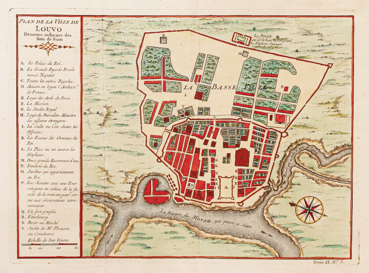
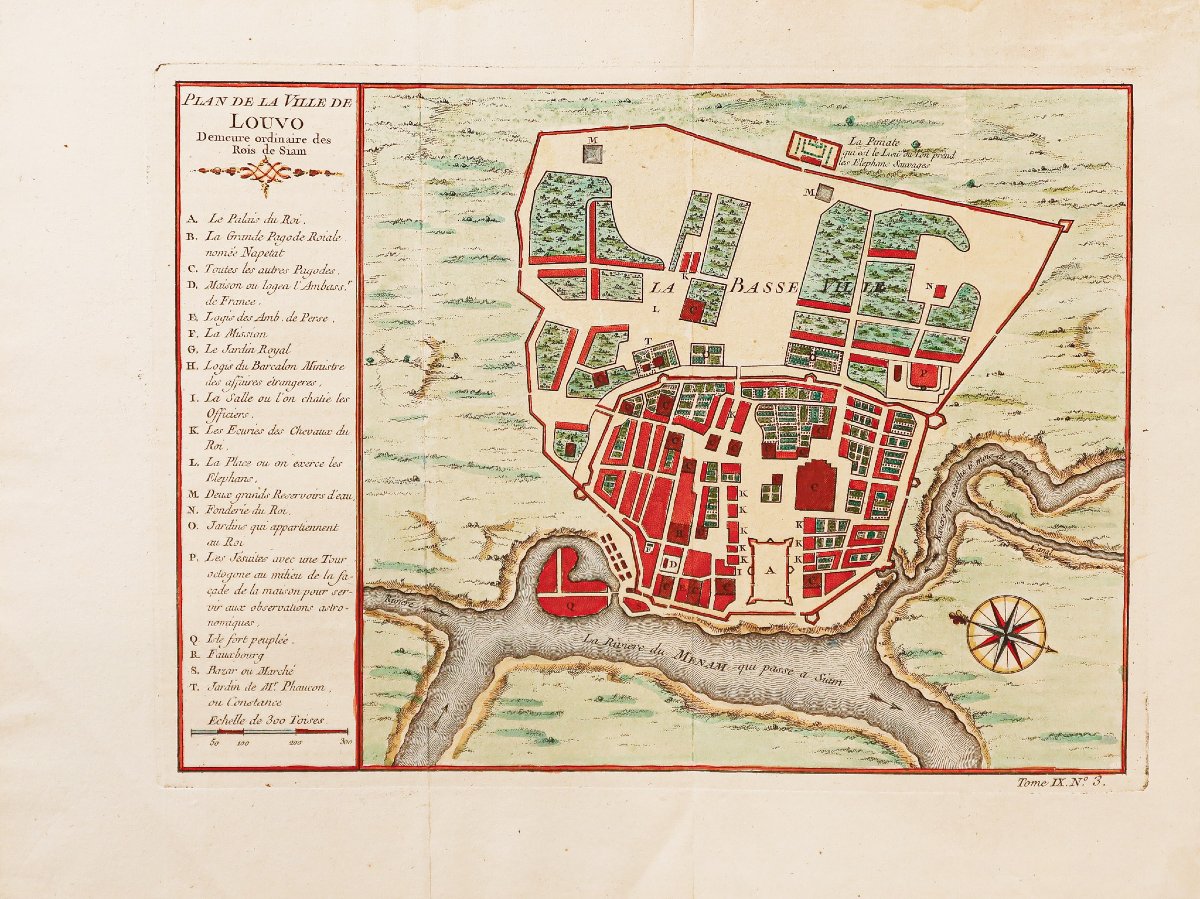
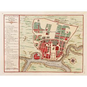

Historic Map Of The City Of Louvo - Lopburi
Ordinary Residence of the Kings of Siam.
Original print from 1750. Jacques-Nicolas Bellin, cartographer.
Beautiful watercolor hues.
Decorative cartouche.
Very good condition.
Print size: 28 x 20 cm.
Sheet size: 34 x 25.5 cm.
Original antique map from 1750
You can view all the maps, books, and engravings available for your region by clicking on the link to our website specializing in historical geographical archives:
https://cartes-livres-anciens.com/categorie-produit/cartes-geographiques-anciennes-original-antique-maps/asie/thailande/
Secure payment by credit card on our website by clicking the link below:
https://cartes-livres-anciens.com/produit/cartes-geographiques-anciennes-original-antique-maps/asie/thailande/plan-ancien-de-la-ville-de-louvo-lopburi/
All of our maps and engravings come with a certificate of authenticity.
Jacques-Nicolas Bellin, born in Paris in 1703 and died in Versailles on March 21, 1772, was a French cartographer and hydrographer. In 1721, Bellin was appointed hydrographer of the Ministry of the Navy following the creation of the French Hydrographic Office and the Navy’s Map and Plan Repository. He was a member of the Academy of the Navy and the Royal Society of London. Over the course of a 50-year career, he produced a large number of maps and atlases.
Original print from 1750. Jacques-Nicolas Bellin, cartographer.
Beautiful watercolor hues.
Decorative cartouche.
Very good condition.
Print size: 28 x 20 cm.
Sheet size: 34 x 25.5 cm.
Original antique map from 1750
You can view all the maps, books, and engravings available for your region by clicking on the link to our website specializing in historical geographical archives:
https://cartes-livres-anciens.com/categorie-produit/cartes-geographiques-anciennes-original-antique-maps/asie/thailande/
Secure payment by credit card on our website by clicking the link below:
https://cartes-livres-anciens.com/produit/cartes-geographiques-anciennes-original-antique-maps/asie/thailande/plan-ancien-de-la-ville-de-louvo-lopburi/
All of our maps and engravings come with a certificate of authenticity.
Jacques-Nicolas Bellin, born in Paris in 1703 and died in Versailles on March 21, 1772, was a French cartographer and hydrographer. In 1721, Bellin was appointed hydrographer of the Ministry of the Navy following the creation of the French Hydrographic Office and the Navy’s Map and Plan Repository. He was a member of the Academy of the Navy and the Royal Society of London. Over the course of a 50-year career, he produced a large number of maps and atlases.
200 €
Period: 18th century
Style: Other Style
Condition: Excellent condition
Material: Paper
Reference (ID): 1834448
Availability: In stock
Print