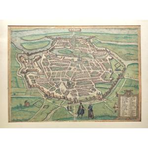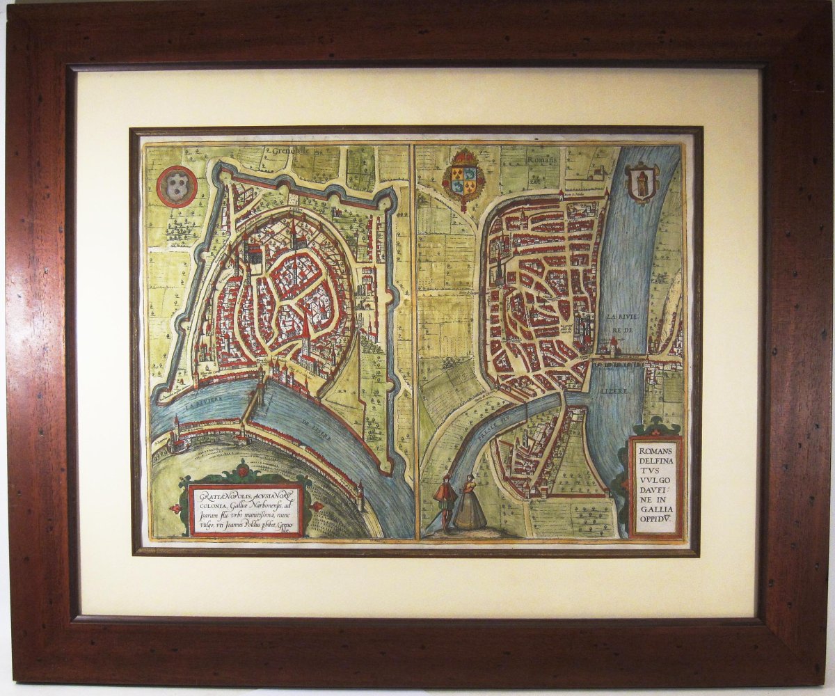
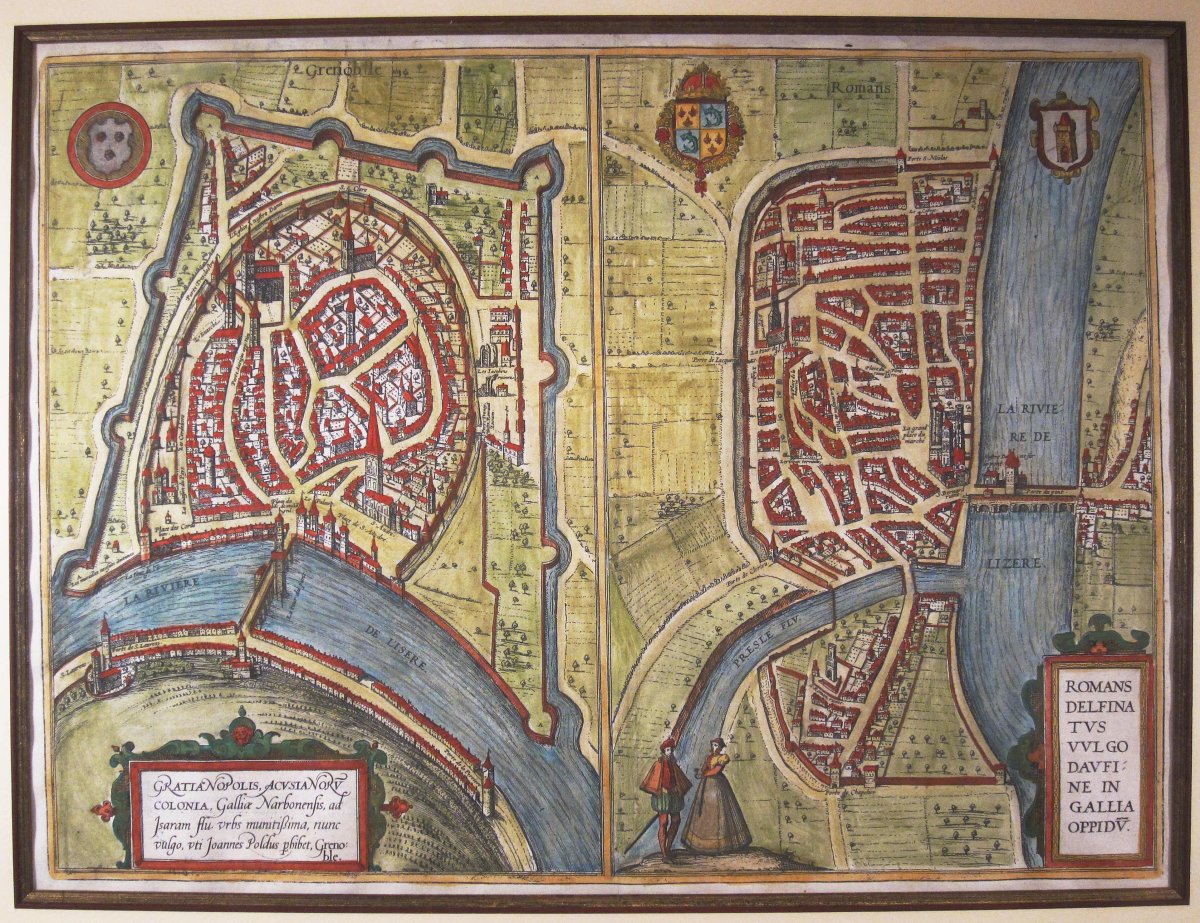
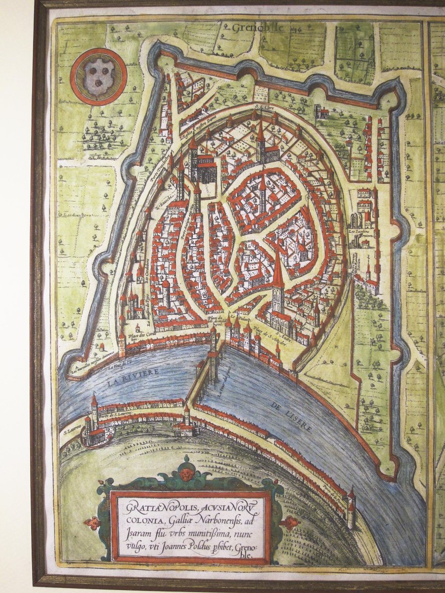
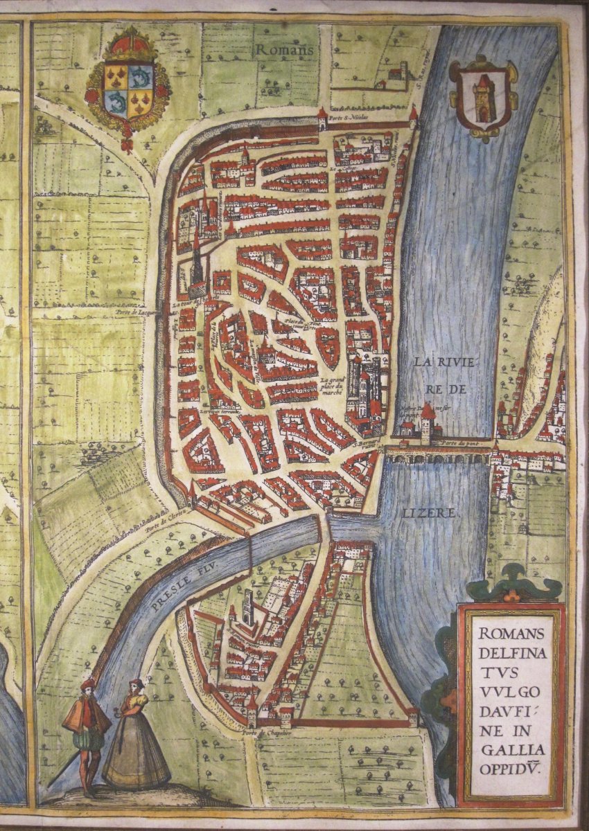


Antique Map Of Grenoble And Roman-sur-isère By F. Hogenberg, C. 1650.
Artist: F. Hogenberg
Watercolor map from the atlas *Civitates Orbis Terrarum*, published by Georg Braun around 1581. Shown here is a version printed in the following century using the original copper plates by the Flemish engraver Frans Hogenberg, circa 1650.
Joint sheet showing Grenoble on the left and Roman-sur-Isère on the right. Colored with watercolors.
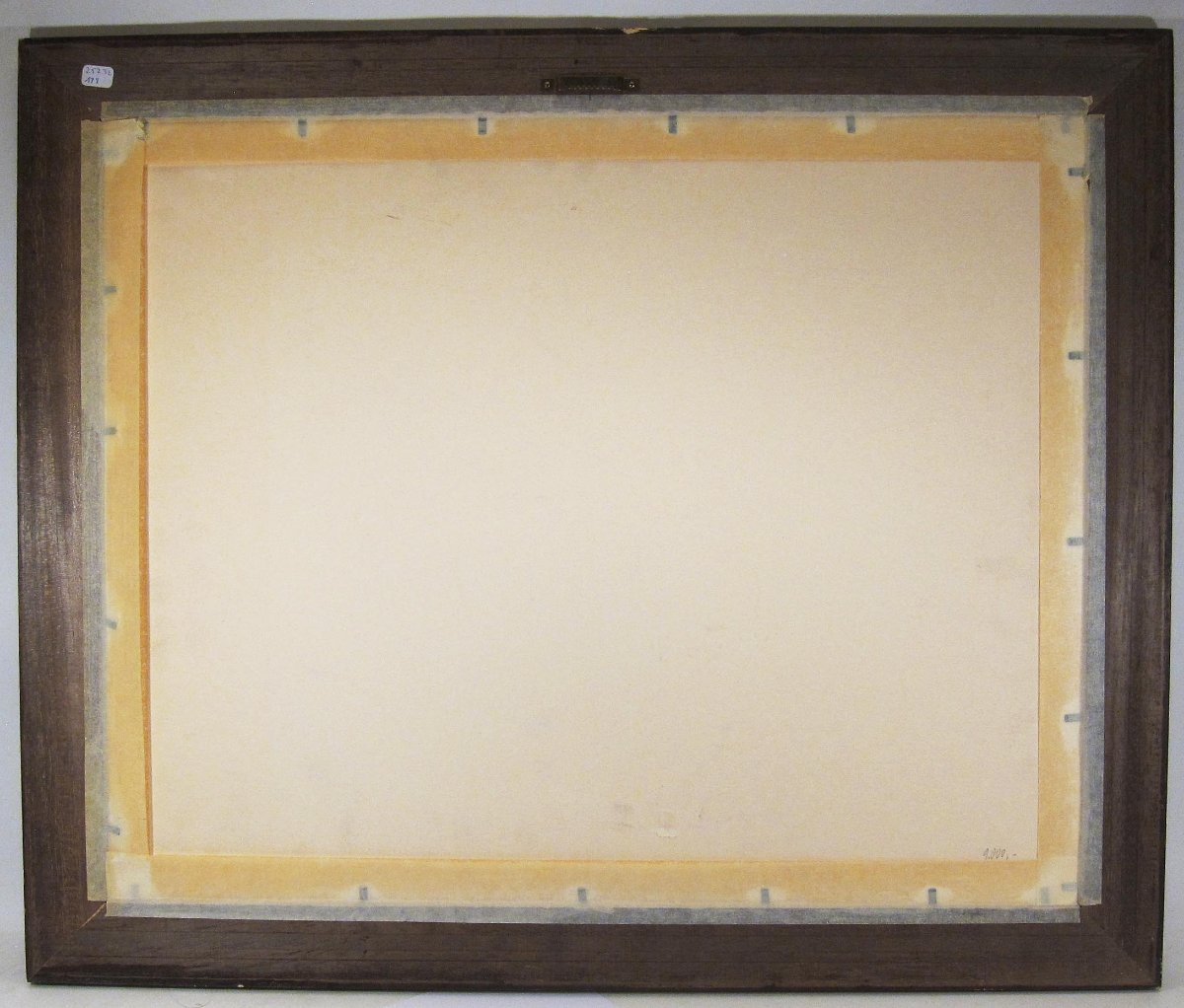
Good condition. Has a barely visible center fold. No text on the reverse.
Modern stained wood frame (mounted under glass about forty years ago).
33 x 44 cm image size, 39 x 54 cm including margins.
Joint sheet showing Grenoble on the left and Roman-sur-Isère on the right. Colored with watercolors.
Good condition. Has a barely visible center fold. No text on the reverse.
Modern stained wood frame (mounted under glass about forty years ago).
33 x 44 cm image size, 39 x 54 cm including margins.
380 €
Period: 17th century
Style: Renaissance, Louis 13th
Condition: Excellent condition
Material: Paper
Width: 54 cm
Height: 39 cm
Reference (ID): 1822991
Availability: In stock
Print