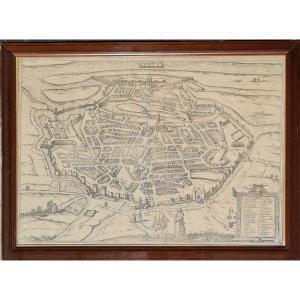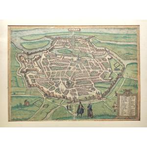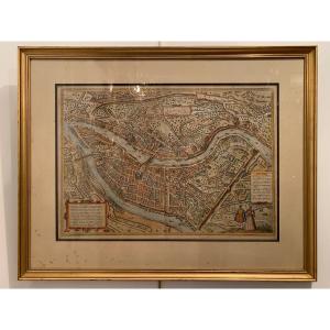



Engraving: An Old Map Of The Limagne, A Region Of Auvergne Around Clermont-ferrand—16th Century
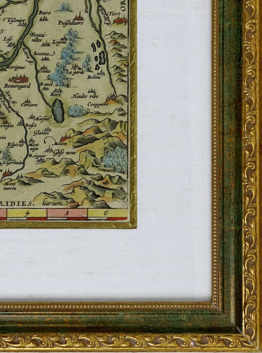
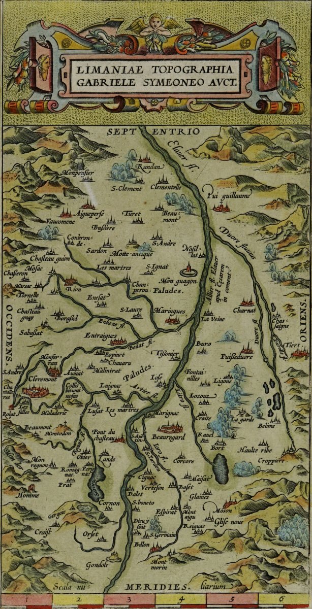
RARE and beautiful antique topographic map titled *Limaniae Topographia*, by Gabriele Symeoneo, depicting the Limagne region and part of Auvergne around Clermont-Ferrand.
Engraved on copper—hand-colored with watercolors.
Based on the work of the Florentine scholar and cartographer Gabriel Simeoni, who was a writer, poet, historian, and cartographer. Having spent a long time in France, he took a particular interest in its history, antiquities, and geography. His cartographic works served notably as a model for the depiction of the Limagne region published by Abraham Ortelius.
Published by Abraham ORTELIUS (1527–1598),A Flemish cartographer and publisher based in Antwerp, Abraham Ortelius is one of the leading figures in Renaissance cartography. In 1570, he published the famous *Theatrum Orbis Terrarum*, generally considered the first modern atlas. This work brought together and harmonized the best maps of its time, while citing their authors and sources.
The map is organized around the winding course of the Allier River, which runs vertically across the landscape. It accurately locates the region’s major towns, villages, waterways, and landforms, notably Clermont, Riom, Billom, Maringues, Ennezat, Aigueperse, Pont-du-Château, Puy-Guillaume, and Beauregard. The most important settlements are marked by miniature depictions of fortified towns, while mountains, forests, and rivers are depicted according to Renaissance cartographic conventions.
The four cardinal directions are labeled in Latin: Septentrio to the north, Meridies to the south, Occidens to the west, and Oriens to the east.
The upper portion features a superb Mannerist cartouche composed of cut-out leather motifs, volutes, fruit, foliage, and figures in profile. A winged cherub crowns the composition.
Dimensions: Frame: Length 32.5 cm - Height 47.5 cm, Molding: 3 cm,
Condition: PERFECT CONDITION,
Period: Engraving(s): LATE 16TH / EARLY 17TH CENTURY,
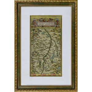
Frame(s): CURRENT - Composed of a bevel with an aged gold finish and a white raw silk mat. The piece is mounted under glass in a molded wooden frame, combining a bronze-green patina with gilded highlights.
PAYMENT AND SHIPPING
ACCEPTED PAYMENTS: BANK TRANSFER / PAYPAL / credit card online or by CHECK.
PACKAGES WILL BE MAILED WITHIN 4 DAYS.
COMBINED SHIPPING AVAILABLE WHEN PURCHASING MULTIPLE ITEMS
Period: 16th century
Style: Renaissance, Louis 13th
Condition: Perfect condition
Material: Paper
Length: 32.7 cm
Height: 42.5 cm
Reference (ID): 1831392
Availability: In stock