

An Old Map Of Egypt
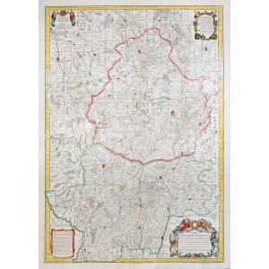
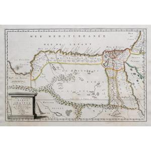
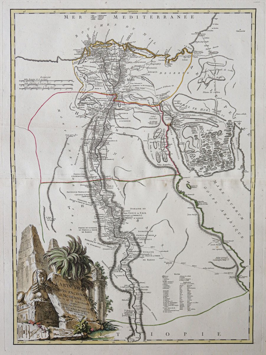
Original print from 1753. Robert de Vaugondy, geographer.
Colored boundaries from that period.
Fine foxing in the reddish valley area. 1 spot of foxing near Sinus heroopollitticus.
Very good condition.
Sheet size: 75 x 55 cm.
Engraving dimensions: 66.2 x 49.5 cm.
Original antique map from 1753.
Large illustrative title cartouche featuring monuments, sphinxes, and pyramids. References with city markings and explanations of some Arabic words.
Vous pouvez consulter l’ensemble
des cartes, livres et gravures disponibles sur votre région en cliquant sur le
lien de notre site internet spécialisé en archives anciennes
géographiques :
https://cartes-livres-anciens.com/categorie-produit/cartes-geographiques-anciennes-original-antique-maps/afrique/egypte/
Règlement sécurisé par carte
bancaire sur notre site internet en cliquant sur le lien ci-dessous :
https://cartes-livres-anciens.com/produit/cartes-geographiques-anciennes-original-antique-maps/afrique/egypte/carte-geographique-ancienne-de-legypte-2/
Toutes
nos cartes et gravures sont accompagnées d’un certificat d’authenticité.
Gilles Robert de Vaugondy, known asRobert de Vaugondy, born in 1688 and died in 1766, was a French geographer and cartographer. In 1757, he produced the Atlas Universel, which was considered an authoritative work for many years.
A grandson of Nicolas Sanson, he was appointed geographer to the King. He was the father of the geographer and cartographer Didier Robert de Vaugondy (1723–1786), with whom he compiled a collection of world maps, published in 1757.
Period: 18th century
Style: Other Style
Condition: Excellent condition
Material: Paper
Reference (ID): 1818962
Availability: In stock