THIS OBJECT WAS SOLD
Map Of Ancient Roman Gaul Willem Blaeu, Abraham Ortelius Circa 1635- 17th Century
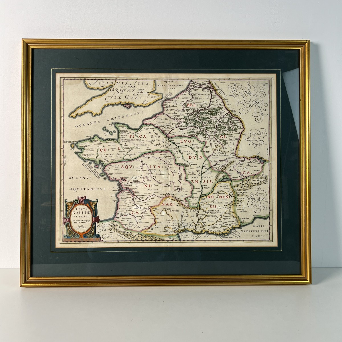
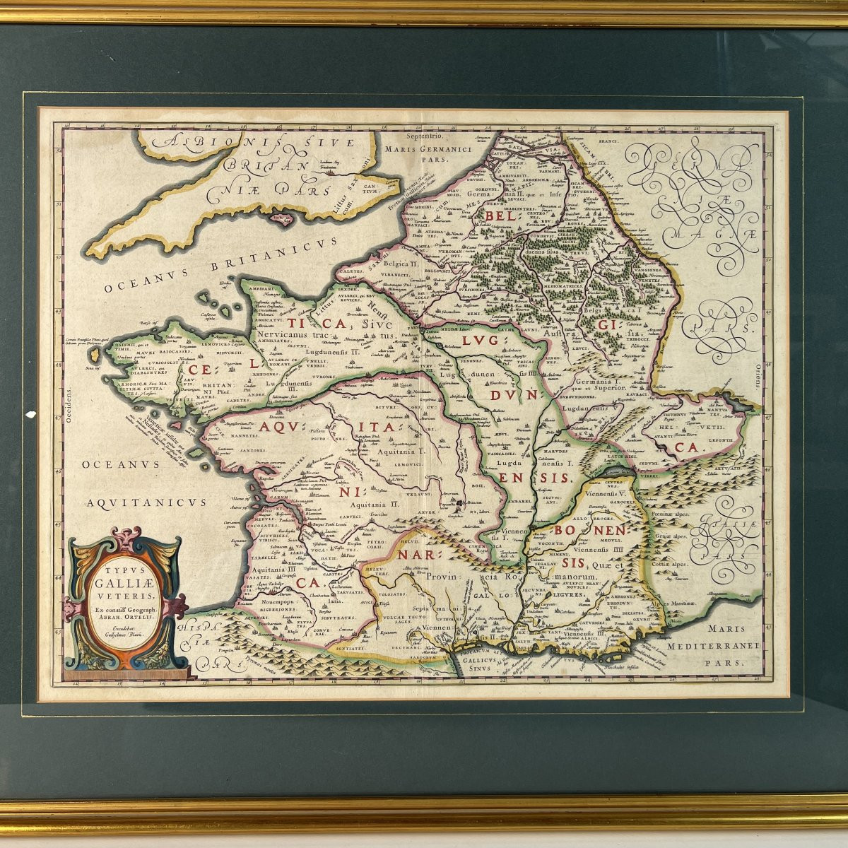
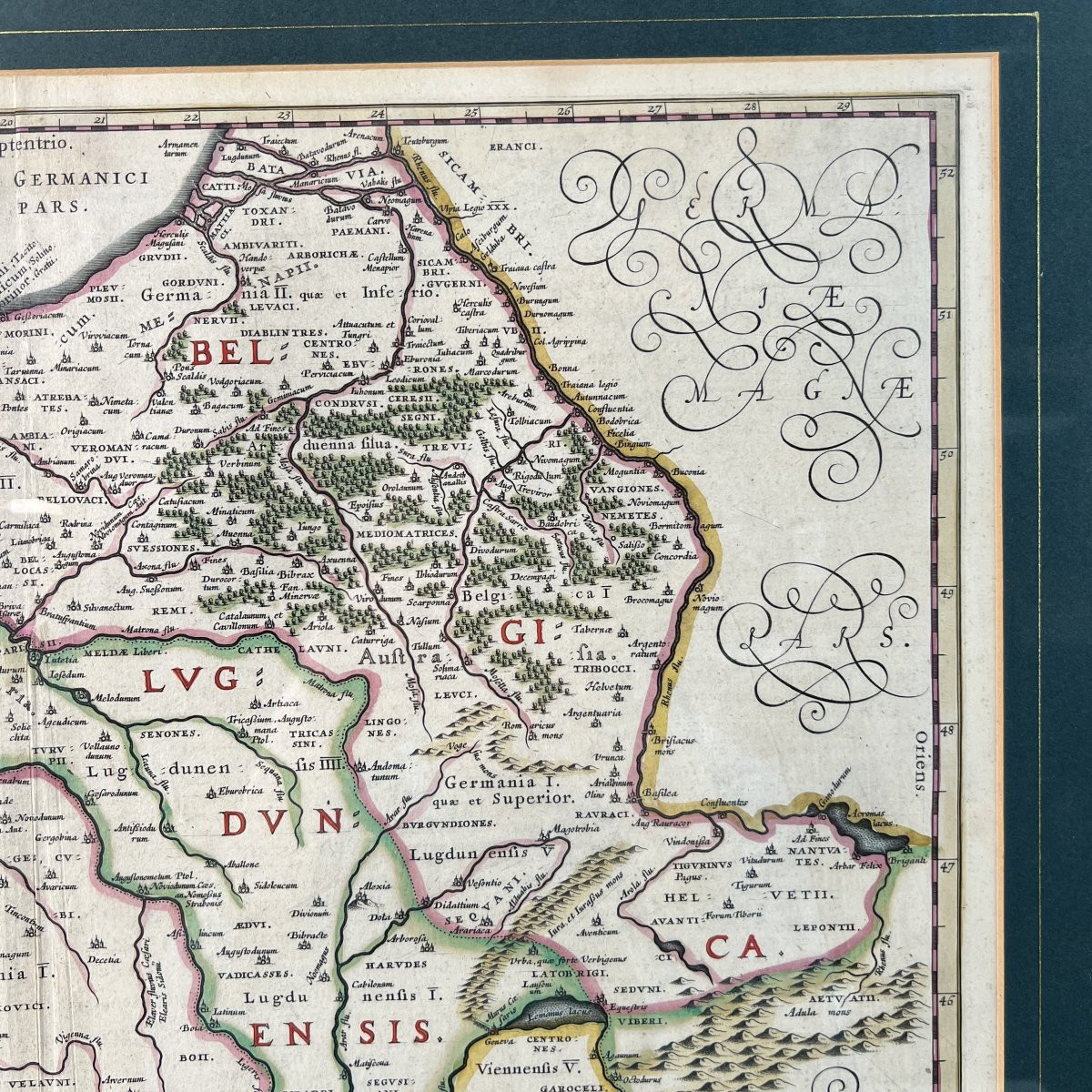

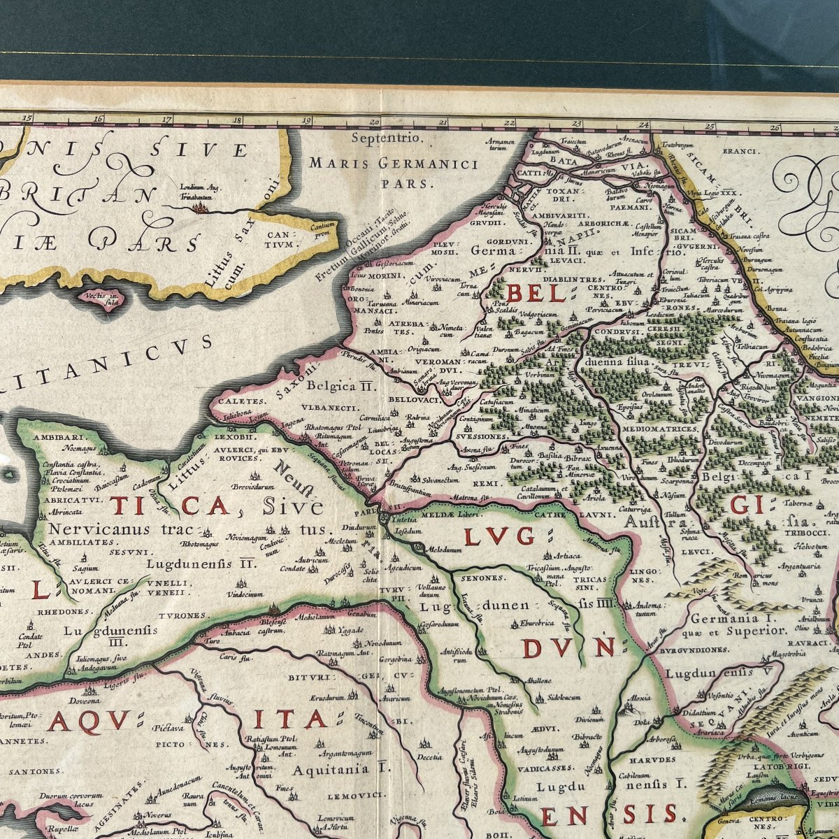
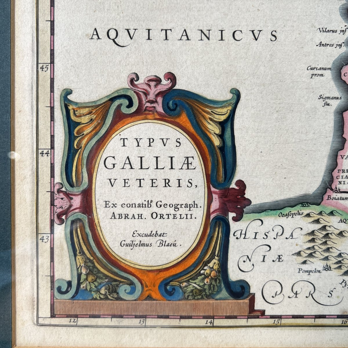
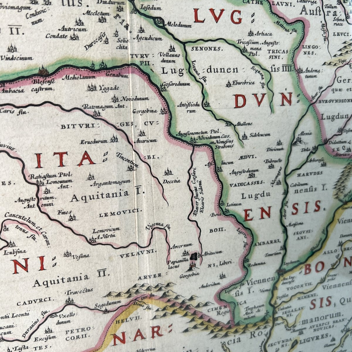
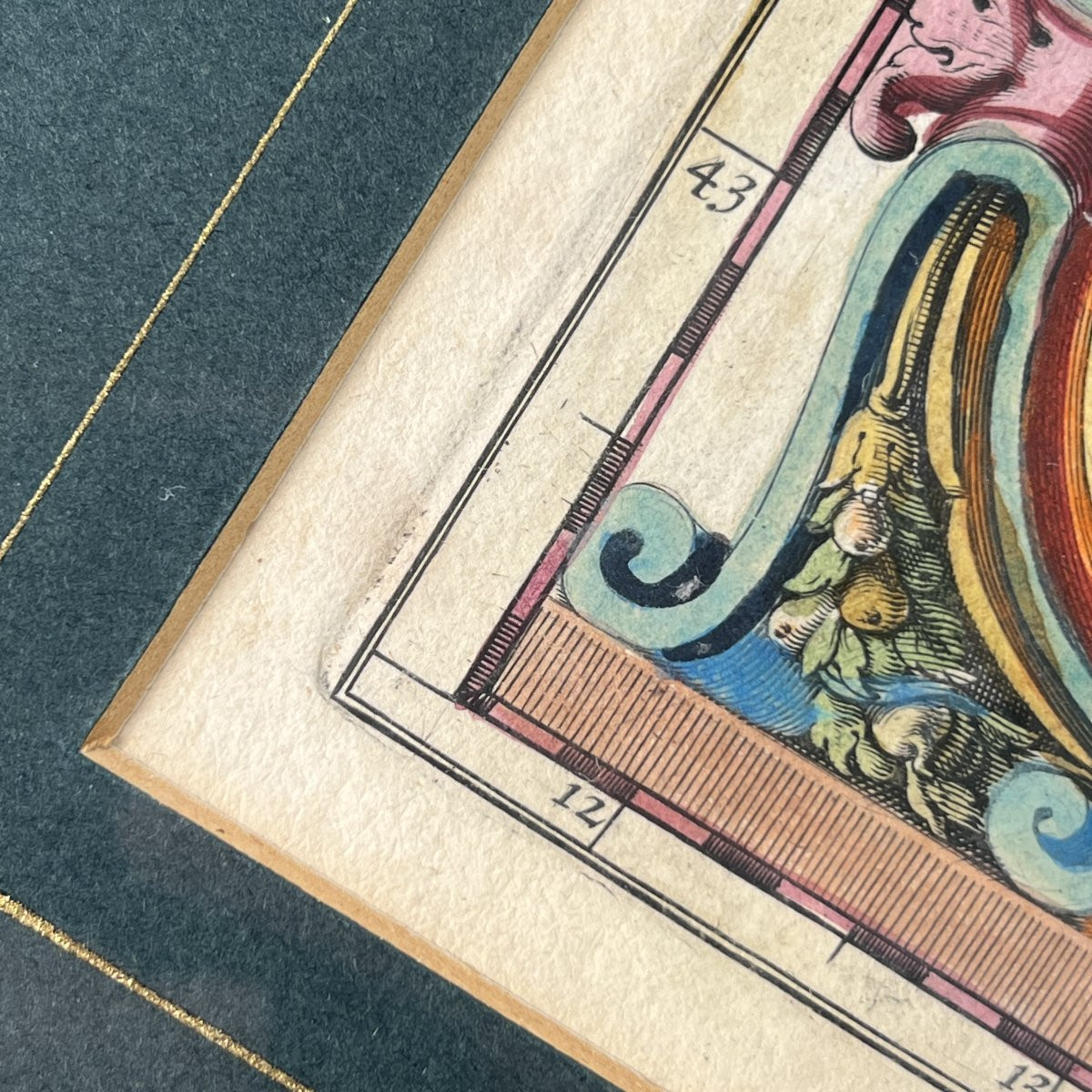
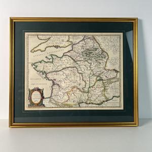


Geographical map of ancient Roman Gaul by Willem Blaeu after Abraham Ortelius, circa 1635, with original hand-colouring, 17th-century engraving, Oudt Vranckryck.
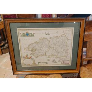
Antique geographical map of Gaul, titled Typus Galliae Veteris, taken from an atlas. Copperplate engraving.
The original cartographic design was conceived by Abraham Ortelius; the edition and printing were produced by Willem Blaeu, also known as Guiljelmus Blaeu, in Amsterdam. Estimated date: circa 1635.
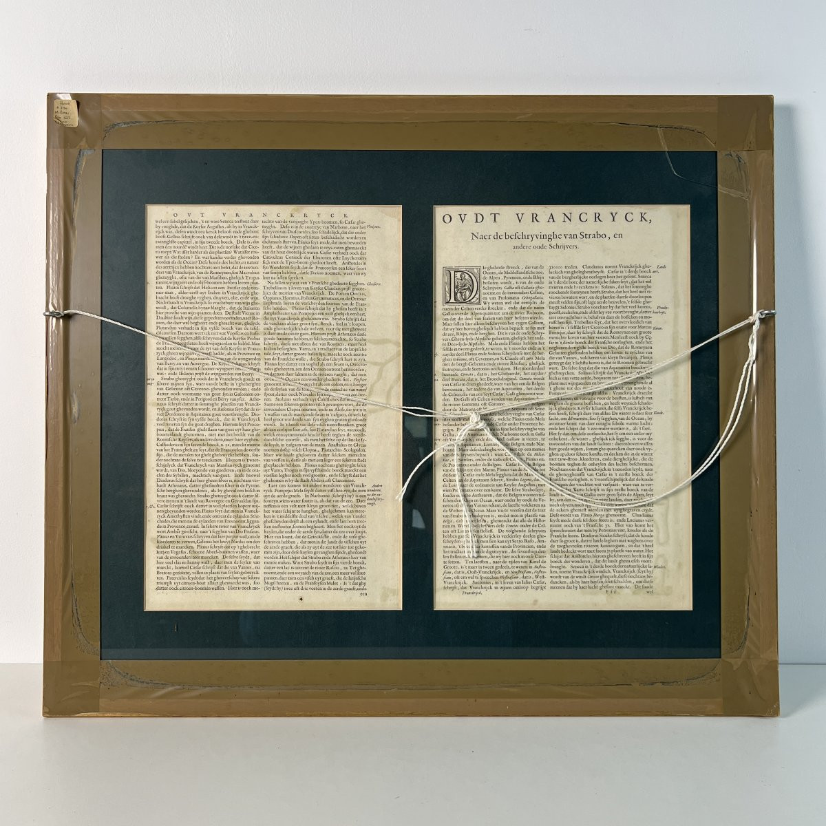
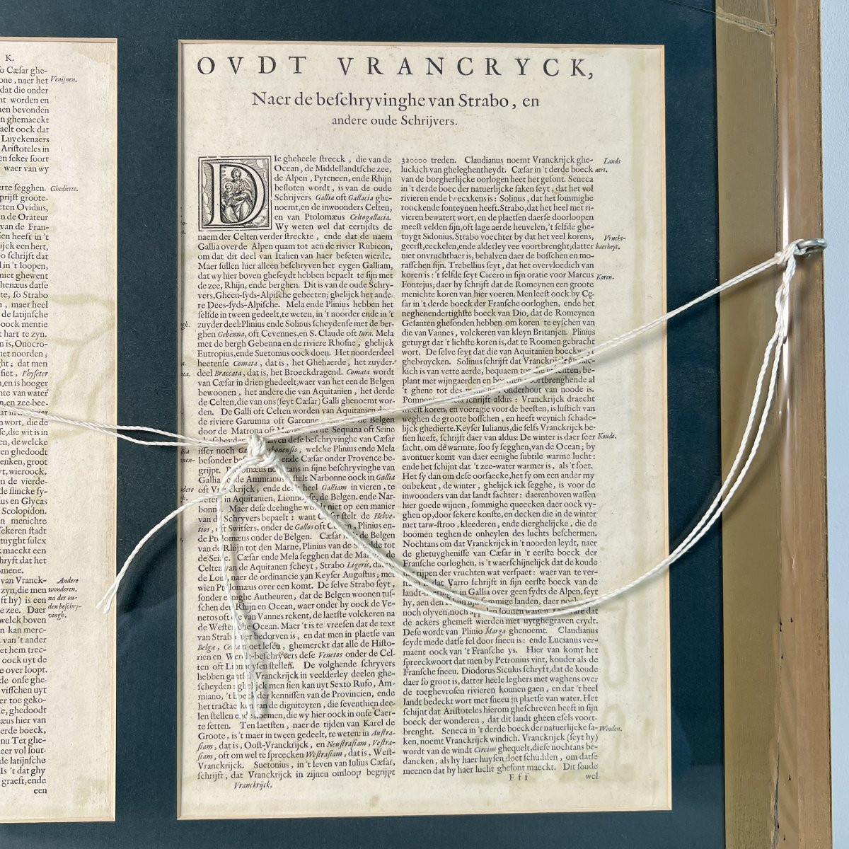
Visible verso with descriptive text printed by letterpress in Dutch. Title: Oudt Vranckryck, Naer de beschryvinghe van Strabo... Layout in two columns, embellished with a woodcut initial “D” with interlaced decoration. Visible central fold, normal and original to the edition, inherent to its mounting in a bound volume.
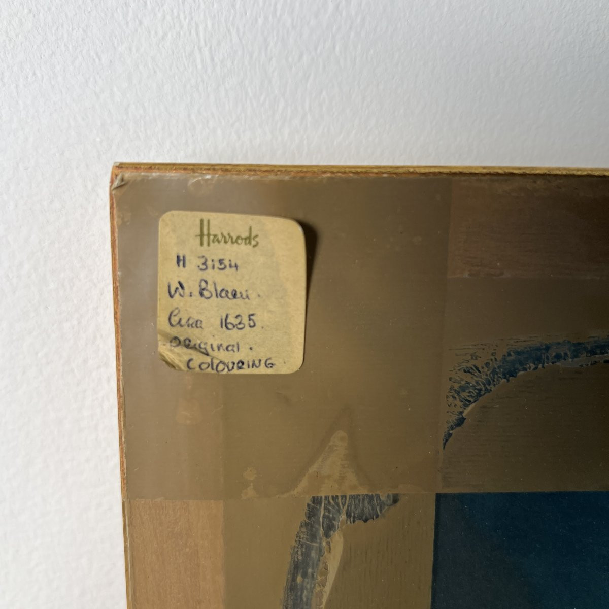
The engraving is in excellent condition. Sound paper, free from major foxing or tears. The plate mark is clearly visible, with preserved margins. Mounted under glass in a professional double-sided frame. Bottle-green mount with gilt fillet. Profiled giltwood frame. Presence of an inventory label from the Antiquities Department of Harrods, authenticating the work and its original colouring.
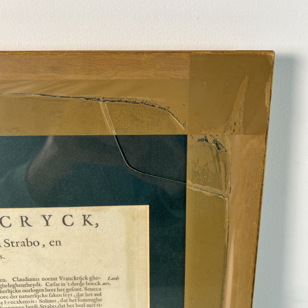
The rear protective glass has a clear crack in the upper right corner, with no impact on the paper artwork.
Measurements:
• Plate mark dimensions: 50.5 x 39 cm
• Frame dimensions: 68 x 58 cm
Safe and secure shipping:
• France: € 18
• Europe (Schengen area): € 38
• International: € 198
• Does this item pique your interest or curiosity? Feel free to contact us, we would be delighted to discuss it with you. We are available from Monday to Saturday, from 8 a.m. to 7 p.m., at +33 652 43 97 82
We are fluent in English and have been shipping a wide variety of items internationally for many years. Please feel free to contact us with any questions you may have. Excellent customer service, we accept returns up to 14 days, 100% positive customer reviews.
Visit our store to check all our amazing products
Antique geographical map of Gaul, titled Typus Galliae Veteris, taken from an atlas. Copperplate engraving.
The original cartographic design was conceived by Abraham Ortelius; the edition and printing were produced by Willem Blaeu, also known as Guiljelmus Blaeu, in Amsterdam. Estimated date: circa 1635.
Visible verso with descriptive text printed by letterpress in Dutch. Title: Oudt Vranckryck, Naer de beschryvinghe van Strabo... Layout in two columns, embellished with a woodcut initial “D” with interlaced decoration. Visible central fold, normal and original to the edition, inherent to its mounting in a bound volume.
The engraving is in excellent condition. Sound paper, free from major foxing or tears. The plate mark is clearly visible, with preserved margins. Mounted under glass in a professional double-sided frame. Bottle-green mount with gilt fillet. Profiled giltwood frame. Presence of an inventory label from the Antiquities Department of Harrods, authenticating the work and its original colouring.
The rear protective glass has a clear crack in the upper right corner, with no impact on the paper artwork.
Measurements:
• Plate mark dimensions: 50.5 x 39 cm
• Frame dimensions: 68 x 58 cm
Safe and secure shipping:
• France: € 18
• Europe (Schengen area): € 38
• International: € 198
• Does this item pique your interest or curiosity? Feel free to contact us, we would be delighted to discuss it with you. We are available from Monday to Saturday, from 8 a.m. to 7 p.m., at +33 652 43 97 82
We are fluent in English and have been shipping a wide variety of items internationally for many years. Please feel free to contact us with any questions you may have. Excellent customer service, we accept returns up to 14 days, 100% positive customer reviews.
Visit our store to check all our amazing products
Explore similar pieces and discover your ideal find:
Old Maps