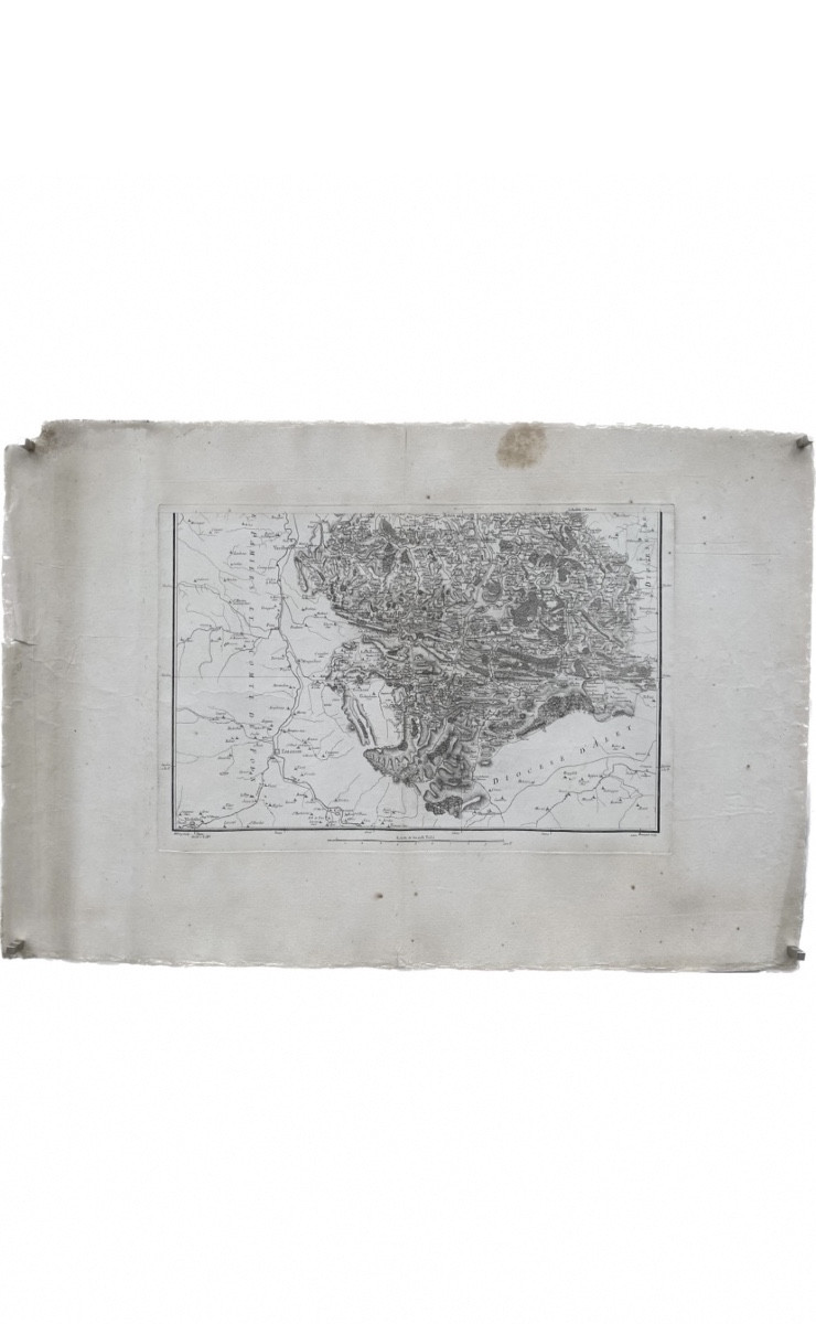
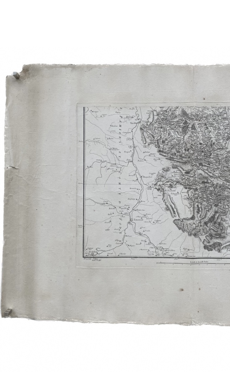
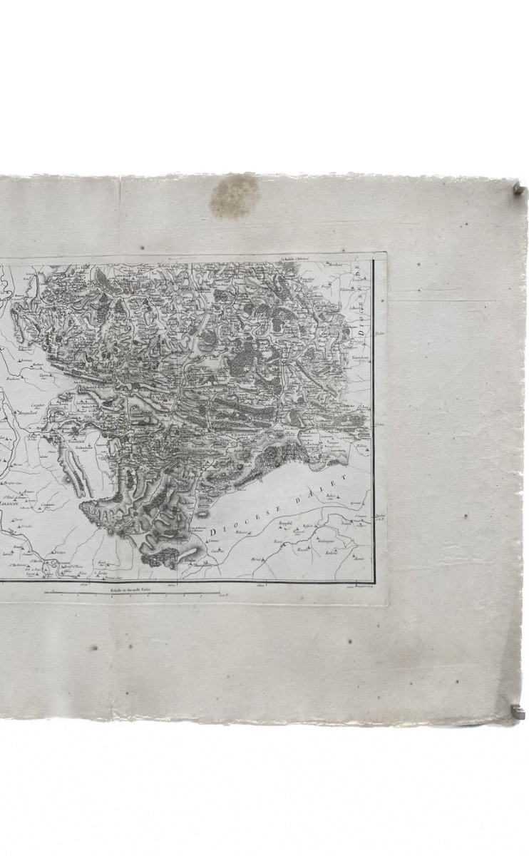
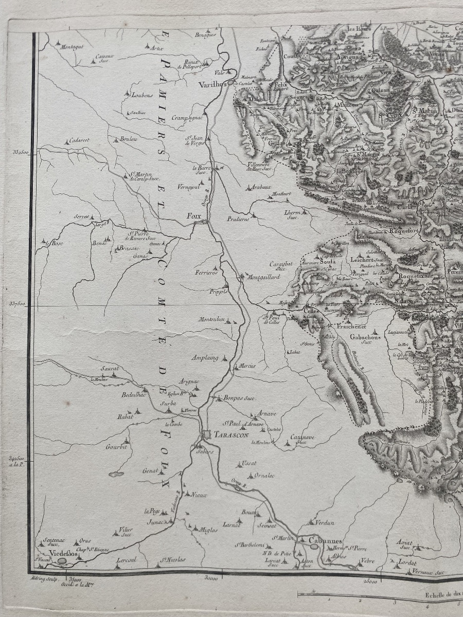
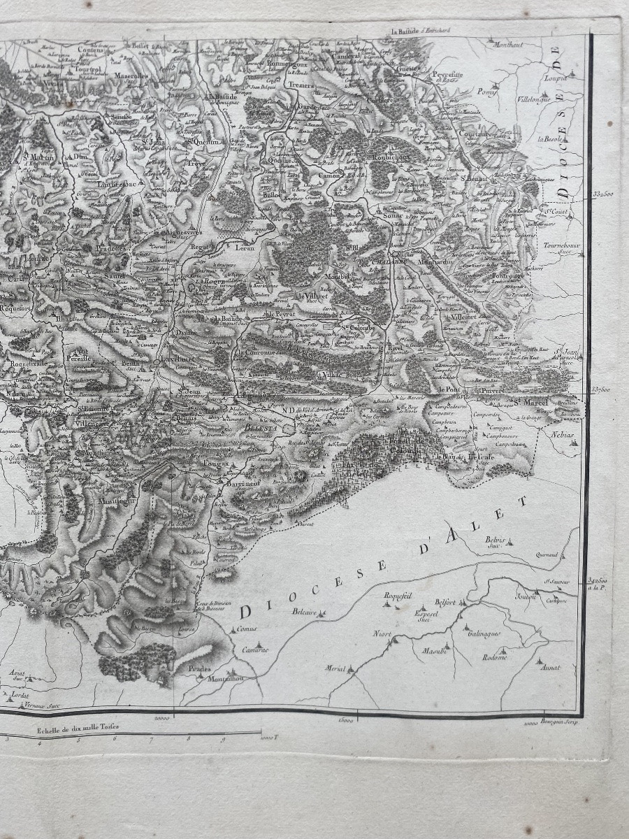
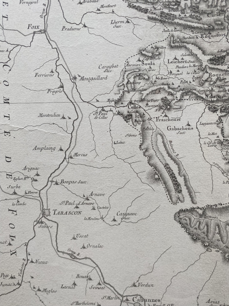
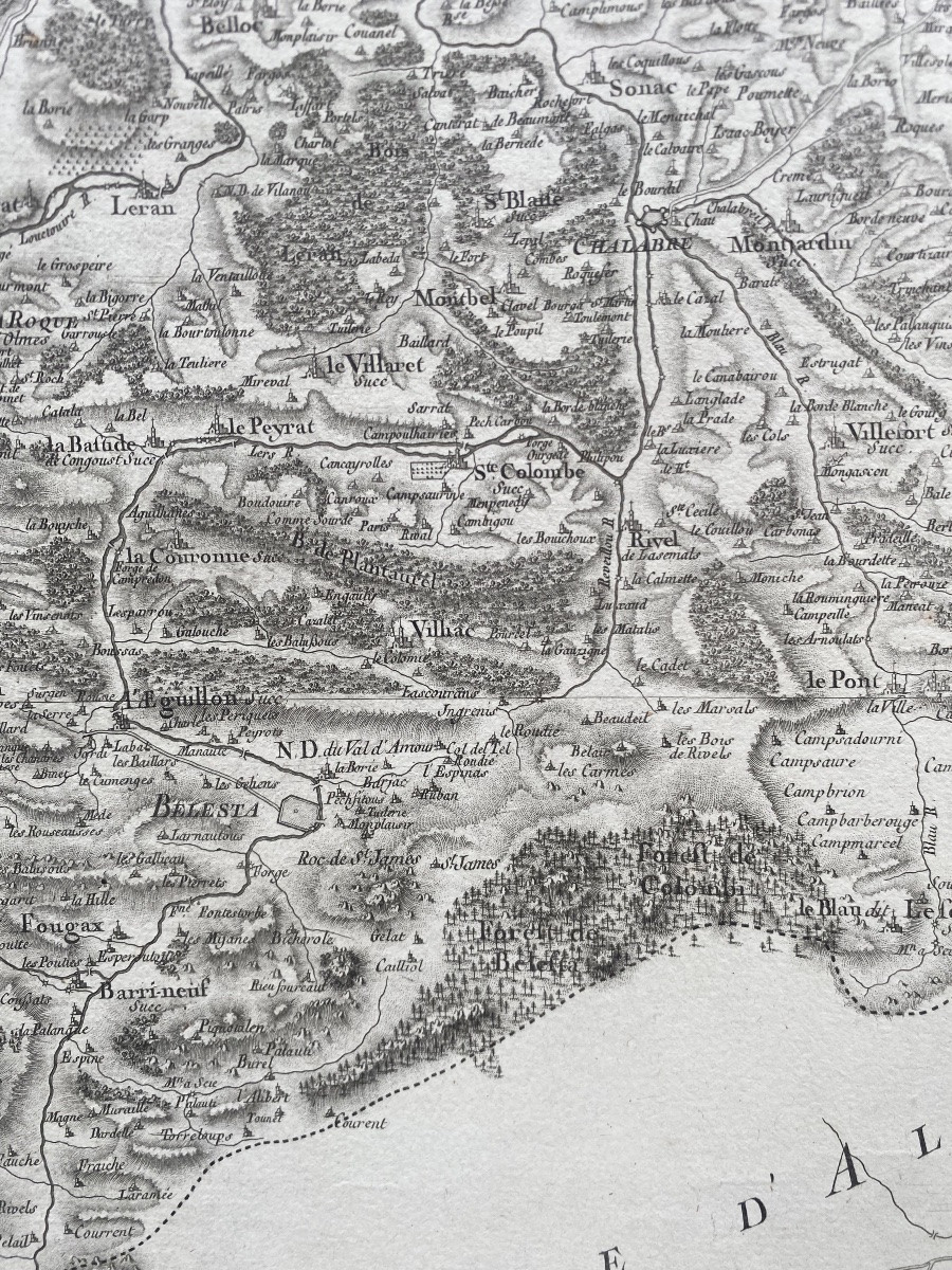
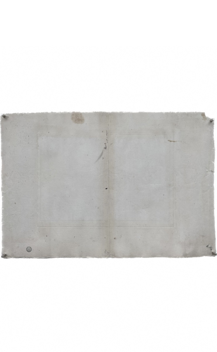
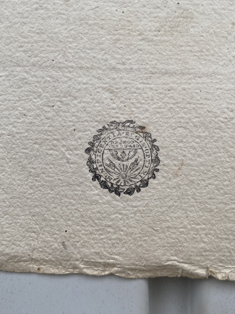
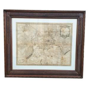
"The maps mentioned above are part of the first large Map of France, entirely surveyed on the ground from operations which develop the general triangulation recently completed. The project to establish a general triangulation of the French territory was first undertaken by a team formed around Jean-Dominique Cassini (1625-1712) and his son Jacques (1677-1756), from 1683 to the beginning of the 18th century, before being taken up by the same Jacques Cassini and his son César-François Cassini de Thury (1714-1784) from 1733 to 1744. In 1747, Louis XV commissioned César-François Cassini to establish the general map of the kingdom but withdrew the funding from the Treasury in 1756. Cassini then founded a Société de la Carte de France, with fifty members, including Madame de Pompadour, the Count of Saint-Florentin, Marshal de Soubise, Malesherbes and Buffon. He also solicited subscribers, notably the provincial states and the Generalities, and offered successive maps for private sale. Among the directors of the Society were Étienne Mignot de Montigny (1714-1782), César-François Cassini de Thury and Charles-Étienne-Louis Camus (1699-1768), and the treasurer, the tax farmer Borda. Their signatures appear on an engraved payment order with, at the top, the image of the seal (Grenoble, Bibliothèque municipale, Ms N.3196 Rés., no 4). Cassini led a team of geographical engineers who traveled the country to carry out surveys from high points such as church towers, and to question local authorities about place names. Their surveys, at a scale of 1/86400, were then sent to engravers. The surveyors' work was completed at the beginning of the Revolution, and the last maps were published after the fall of the Empire in 1815. The stamp is directly linked to the Société de la Carte de France, responsible for the publication of this new map of the territory. The text of the stamp refers to the initiative of King Louis XV, who had ordered Cassini de Thury in 1747 to draw up a map of the whole of France. We know that on July 28, 1756, the engraver Louis-René Luce (1695?-1774) was paid 72 livres for the stamp he had provided to the directors of the Carte de France and which was intended to mark the sheets of this Map (Grenoble, Bibliothèque municipale, Ms N.3196 Rés., nos. 3 and 4). »
BIBLIOGRAPHY. Dapreyron, 'The life and geographical works of Cassini de Thury, author of the first topographical map of France', Revue de Géographie, XX, 1896, t. XXXIX, pp. 241-254.M. Pelletier, Les Cartes des Cassini. Science at the service of the State and the regions, Paris 2002, pp. 225-247.
Free shipping for mainland France. Contact by email preferred. I remain at your disposal for further information or additional photos.









 Le Magazine de PROANTIC
 TRÉSORS Magazine
 Rivista Artiquariato