
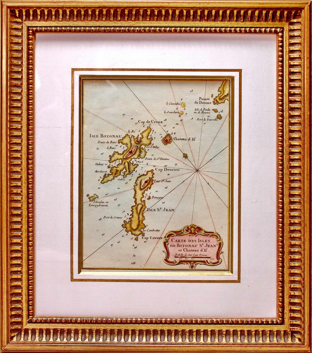
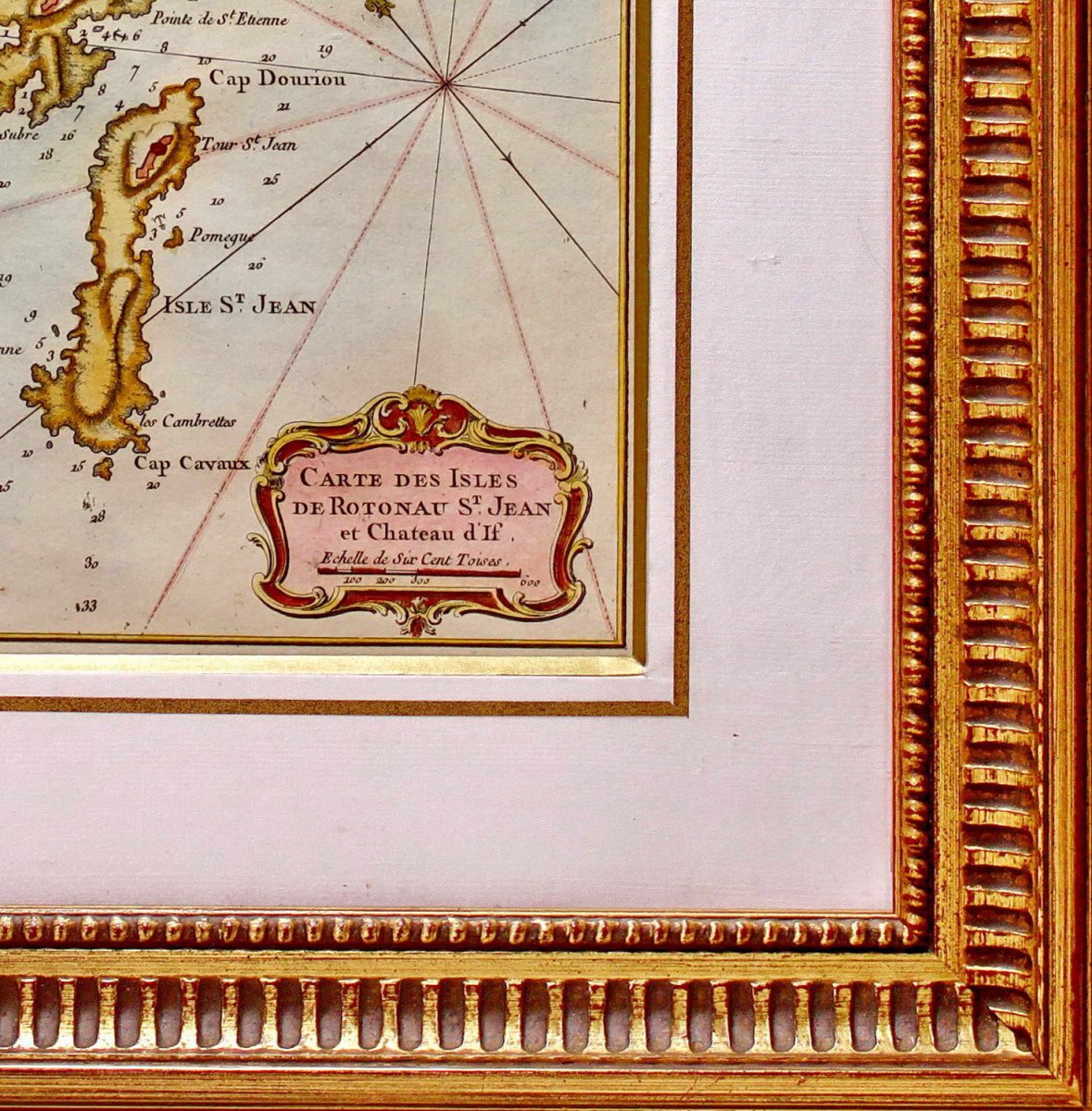

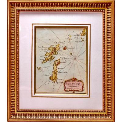

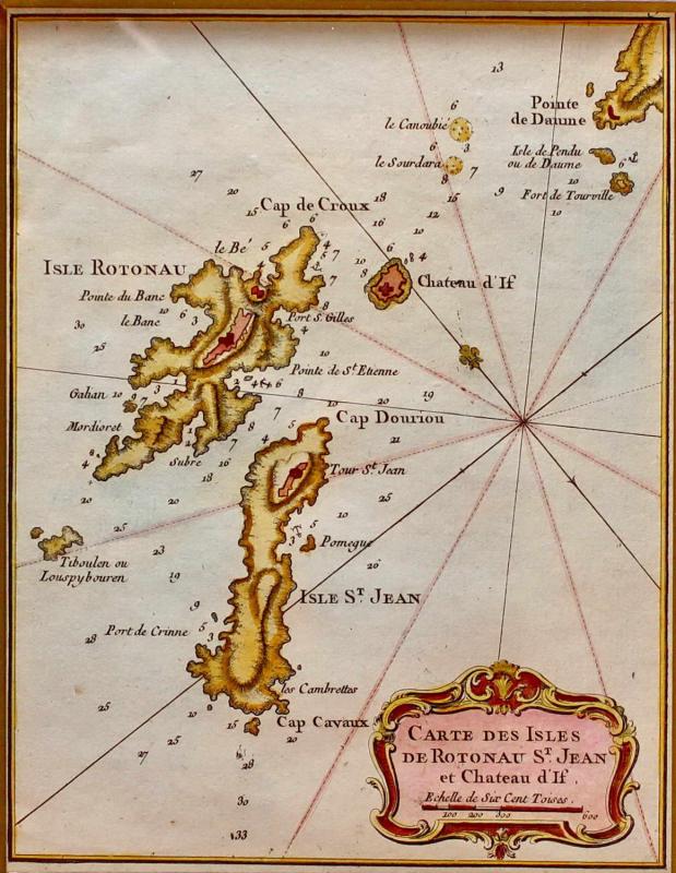
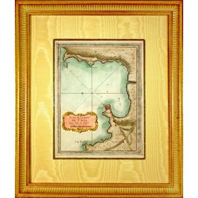
"Marine Chart Engraving Of The Islands Of Rotonau St Jean And Château d'If - Approx. Marseille - Ep. XVIIIth"
Original steel engraving with a chisel and laid paper with watermark. Engraved by BELLIN Jacques Nicolas, (French -1703-1772). Cartographer and hydrographer. In 1721, he was appointed hydrographer of the Ministry of the Navy. He is the author of a large number of maps and atlases. Hand watercolored. Dimension (s): High. 39 cm - Width. 34.2 cm Width. of the baguette 3.7 cm Condition: INTACT Period: 18th century - LOUIS XV (Circa 1765) Framing: CURRENT - Bevel in aged gold - Marie-Louise in white wild silk - Wooden baguette, aged water gilding. PAYMENT and TRANSPORT PAYMENTS ACCEPTED via PAYPAL / LYDIA / CB in VAD (distance selling) or by CHECK (POSSIBILITY OF PAYMENT IN STEPS) PACKAGES WILL BE POSTED WITHIN 3 DAYS. GROUPED SHIPPING POSSIBLE IN CASE OF PURCHASE OF MULTIPLE ITEMS. 


 Le Magazine de PROANTIC
 TRÉSORS Magazine
 Rivista Artiquariato