Old Maps
29 objects
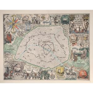
André Serveau (1892-1971) - Plan Des Anciennes Enceintes De Paris[...]
20th century
240 €
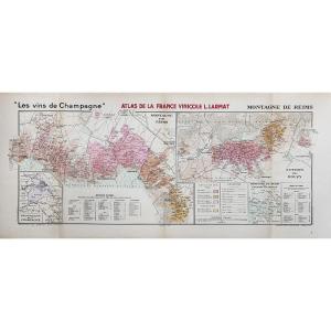

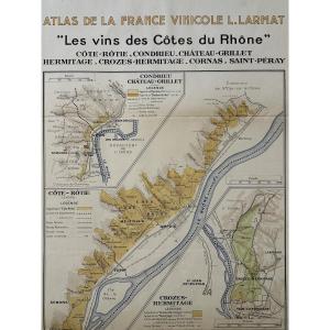
Atlas Of French Wines. Map "the Wines Of The Côtes Du Rhône". Lou[...]
20th century
150 €
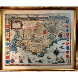
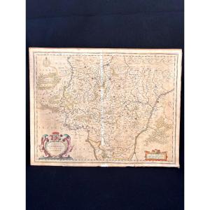
Large Framed Color Map Of Provence "parisis Anno 1593" By Petro I[...]
20th century
240 €

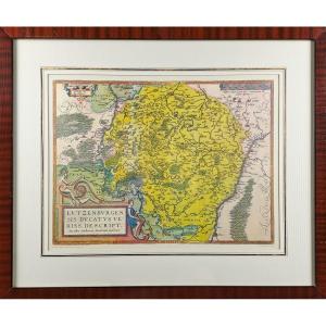
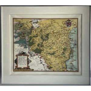
The Duchy Of Luxembourg - Jacques Surhon De Mons - 1551 - édouard[...]
20th century
200 €


French Indochina, Map No. 29 By Pierre Desfontaine - School Map C[...]
20th century
250 €


Old Lithographic Map Guyenne En Gironde Aquitaine Bordeaux Périgo[...]
20th century
70 €
![]()
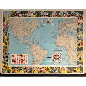
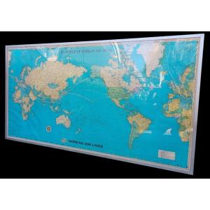
Compagnie Générale Transatlantique, Map Of The Company's Lines 19[...]
20th century
450 €

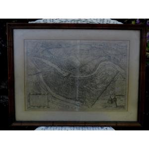
Paris In 1630 – Map Of The City Of Paris According To Melchior Ta[...]
20th century
320 €


29 objects
