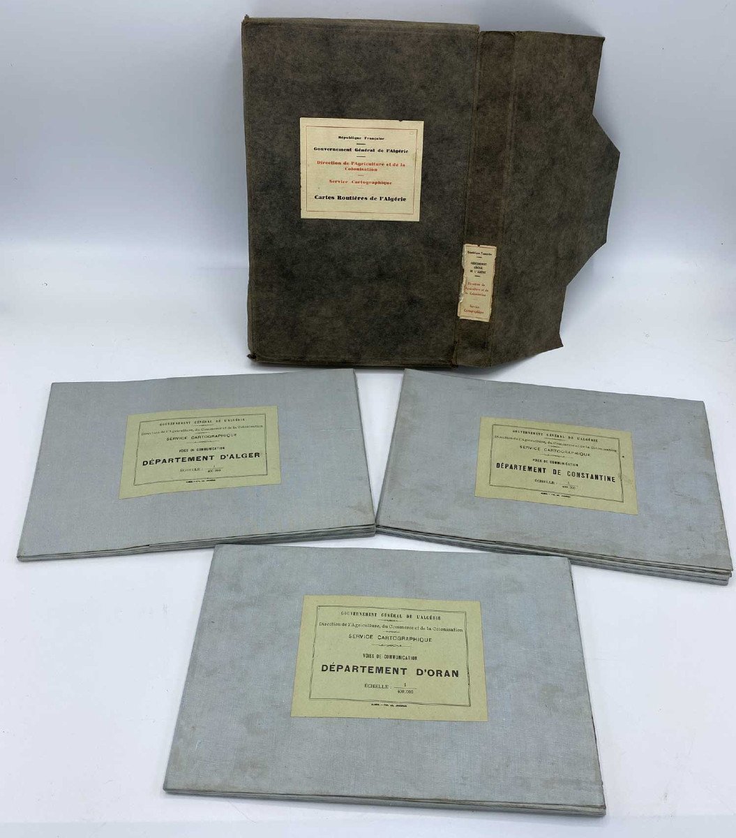


Road Maps Of Algeria 1930
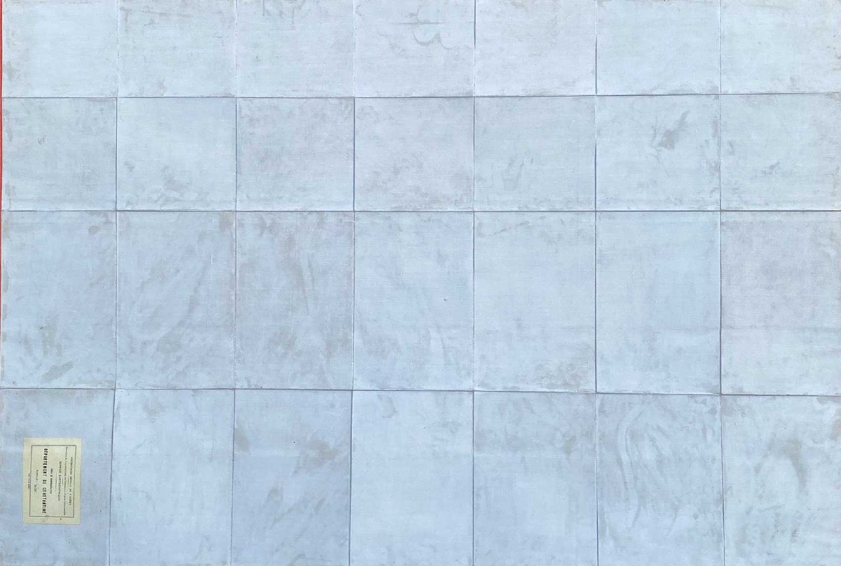
Set of 3 road maps of the departments of Algiers, Constantine and Oran. General Government of Algiers - Directorate of Agriculture and Colonization - Cartographic Service - Map of Communication Routes drawn up by order of Mr. Pierre Bordes. Governor General. 1930 Maps covered in canvas and gathered in a cardboard case (a little rubbed) maps in perfect condition, very fresh. Scale: 1/400000 Dimensions of each map: 112cm x 77cm
250 €
Period: 20th century
Style: Orientalism
Condition: Excellent condition
Material: Paper
Length: 112cm
Width: 77cm
Reference (ID): 1477568
Availability: In stock
Print