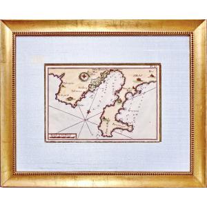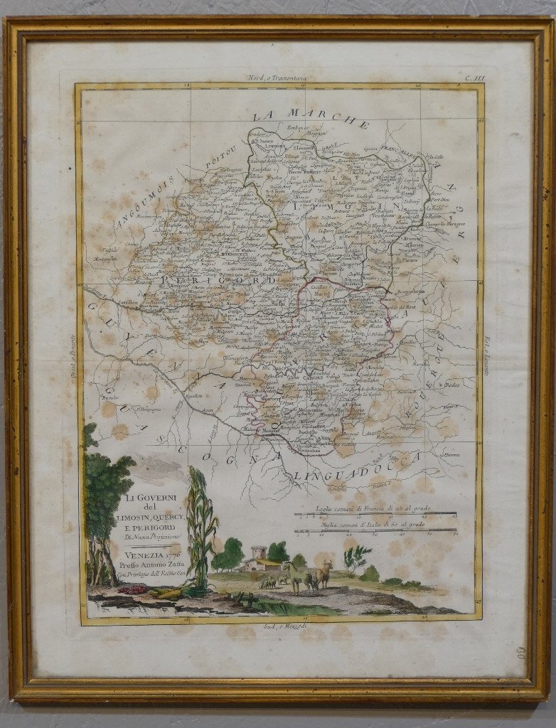


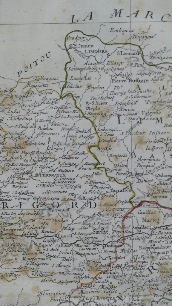
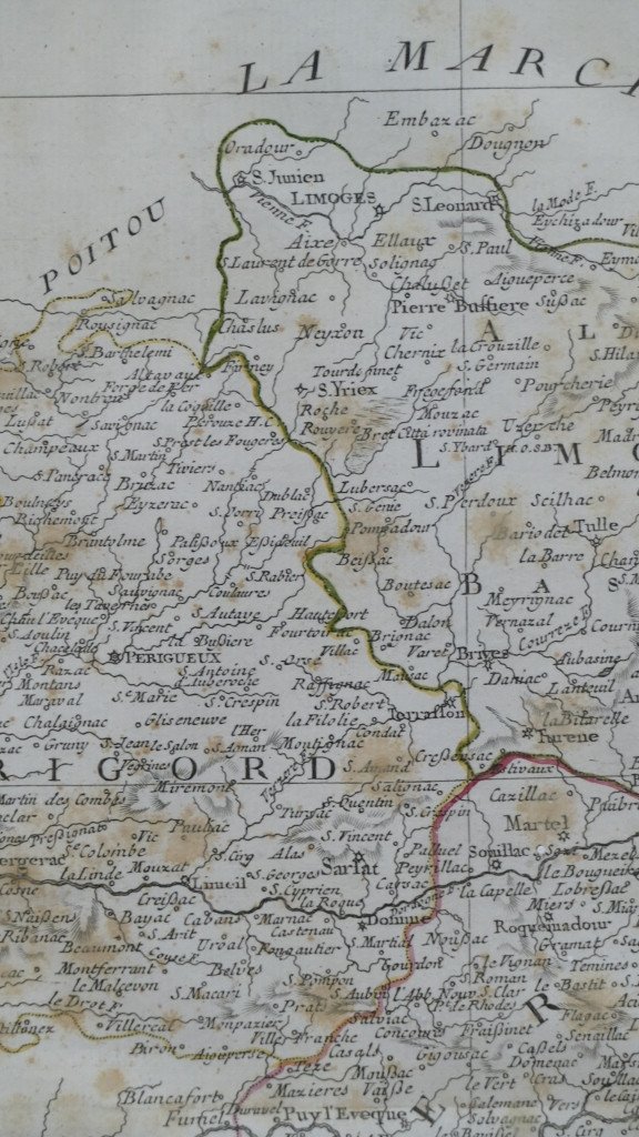

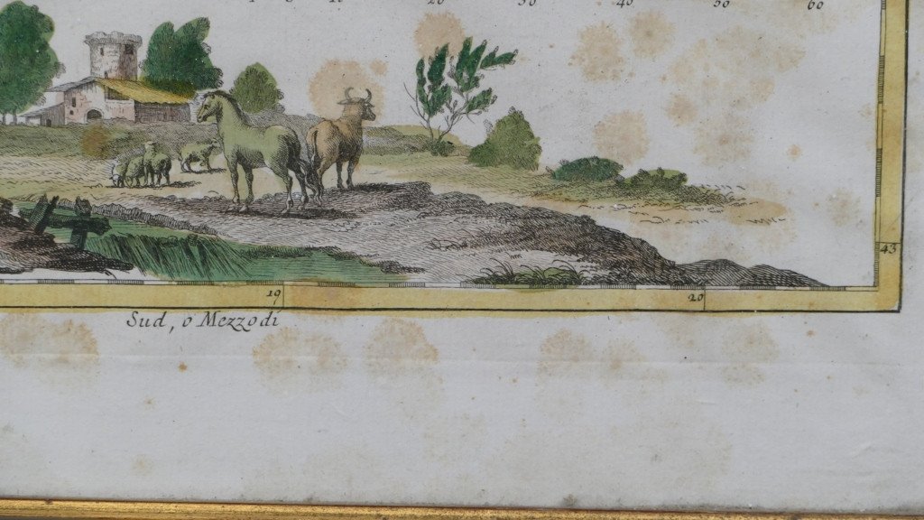

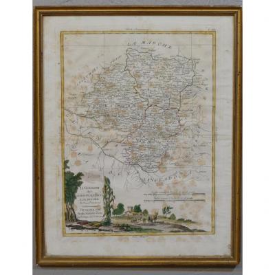
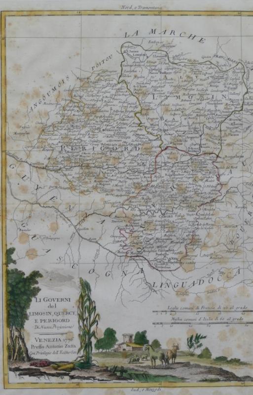
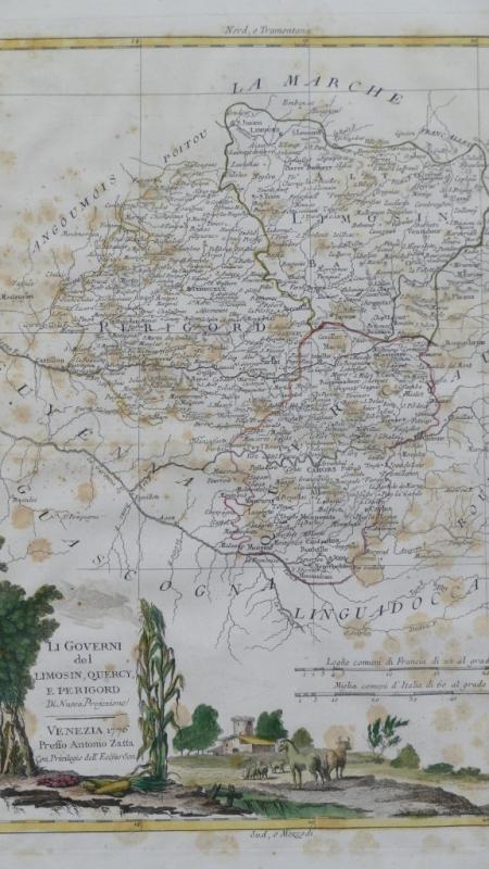


Map Of Limousin, Périgord And Quercy, Dated 1776 By Antonio Zatta
Artist: Antonio Zatta
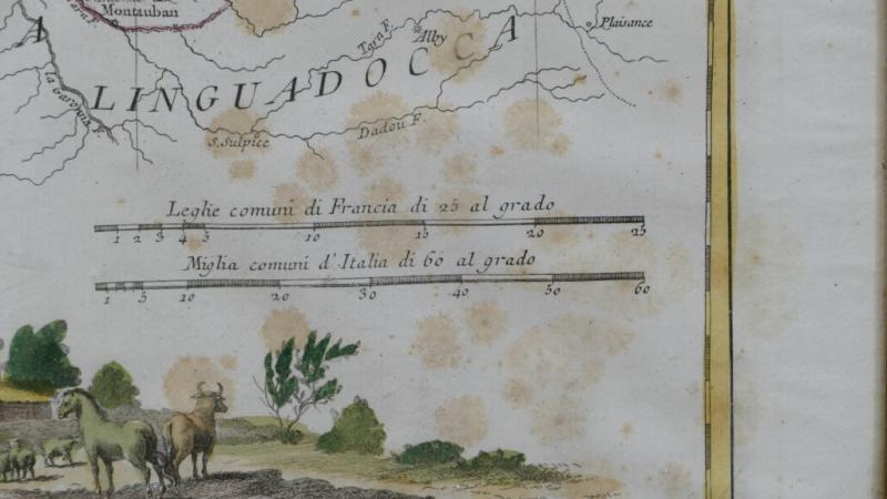
Beautiful colored map dating from 1776 by Antonio Zatta describing the lower Limousin, Quercy and Périgord. Freckles on paper. Modern frame in gilded wood baguette. XVIIIth century period. Delivery 14 euros in France, 25 euros in the EU and 35 euros rest of the world.
280 €
Period: 18th century
Style: Louis 16th, Directory
Condition: Good condition
Width: cadre 39.5 cm
Height: cadre 49.5 cm
Reference (ID): 686051
Availability: In stock
Print