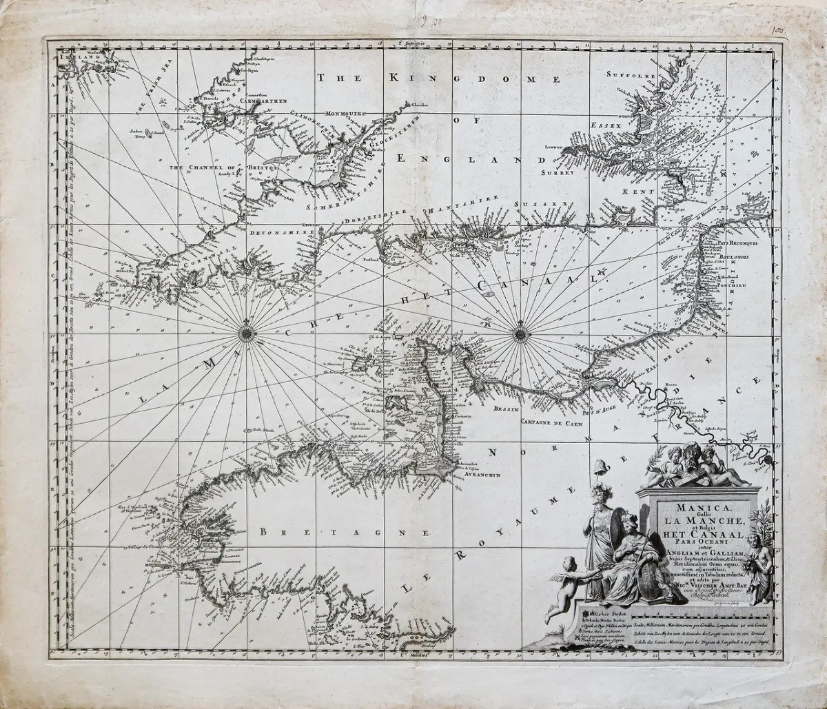
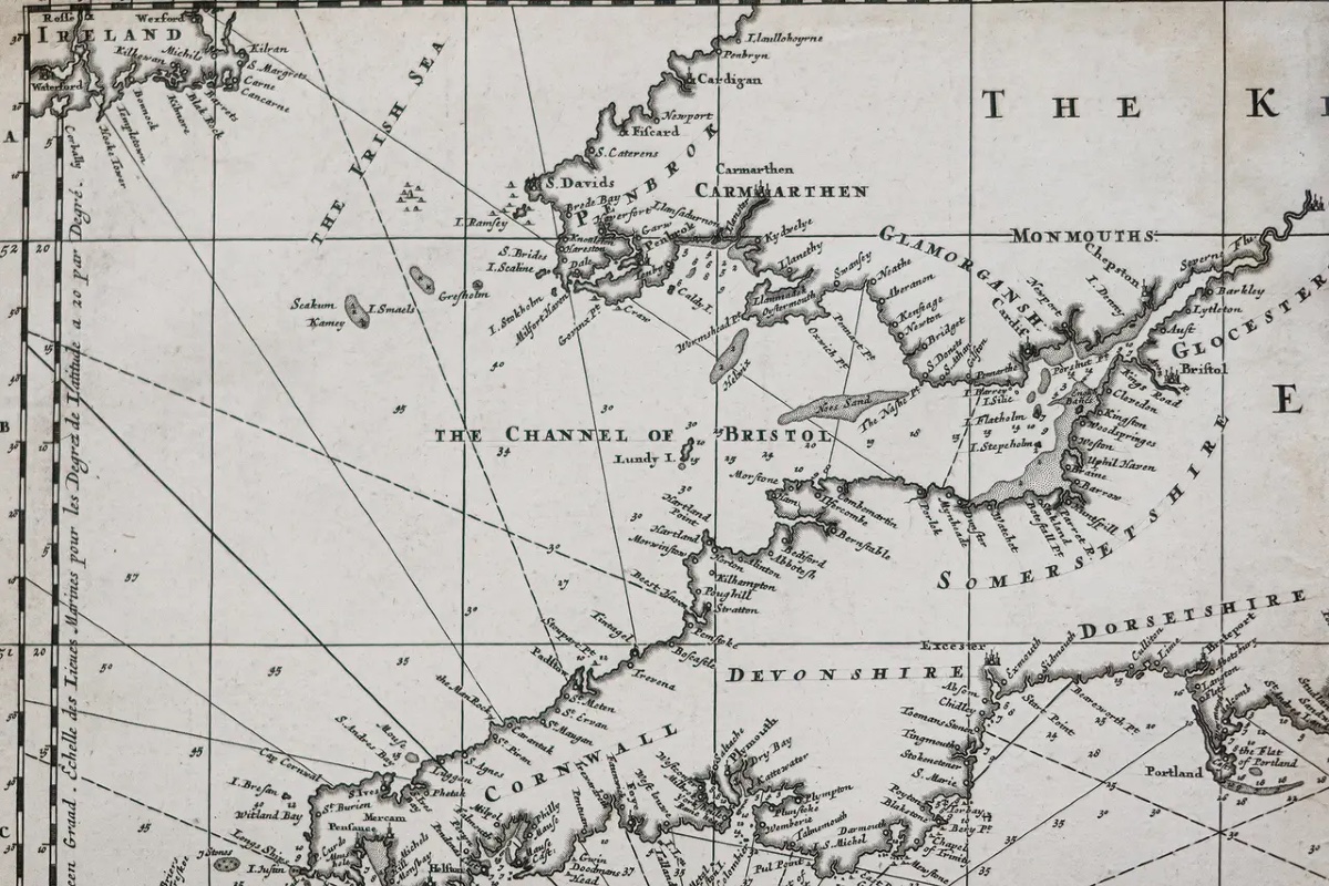
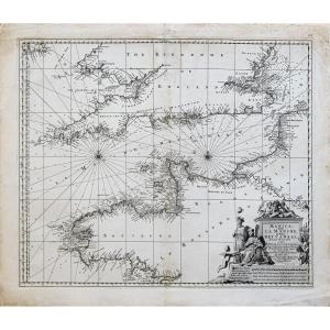


Historical Map Of The English Channel Canal
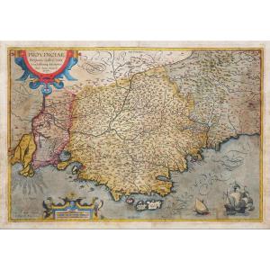
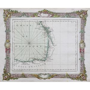
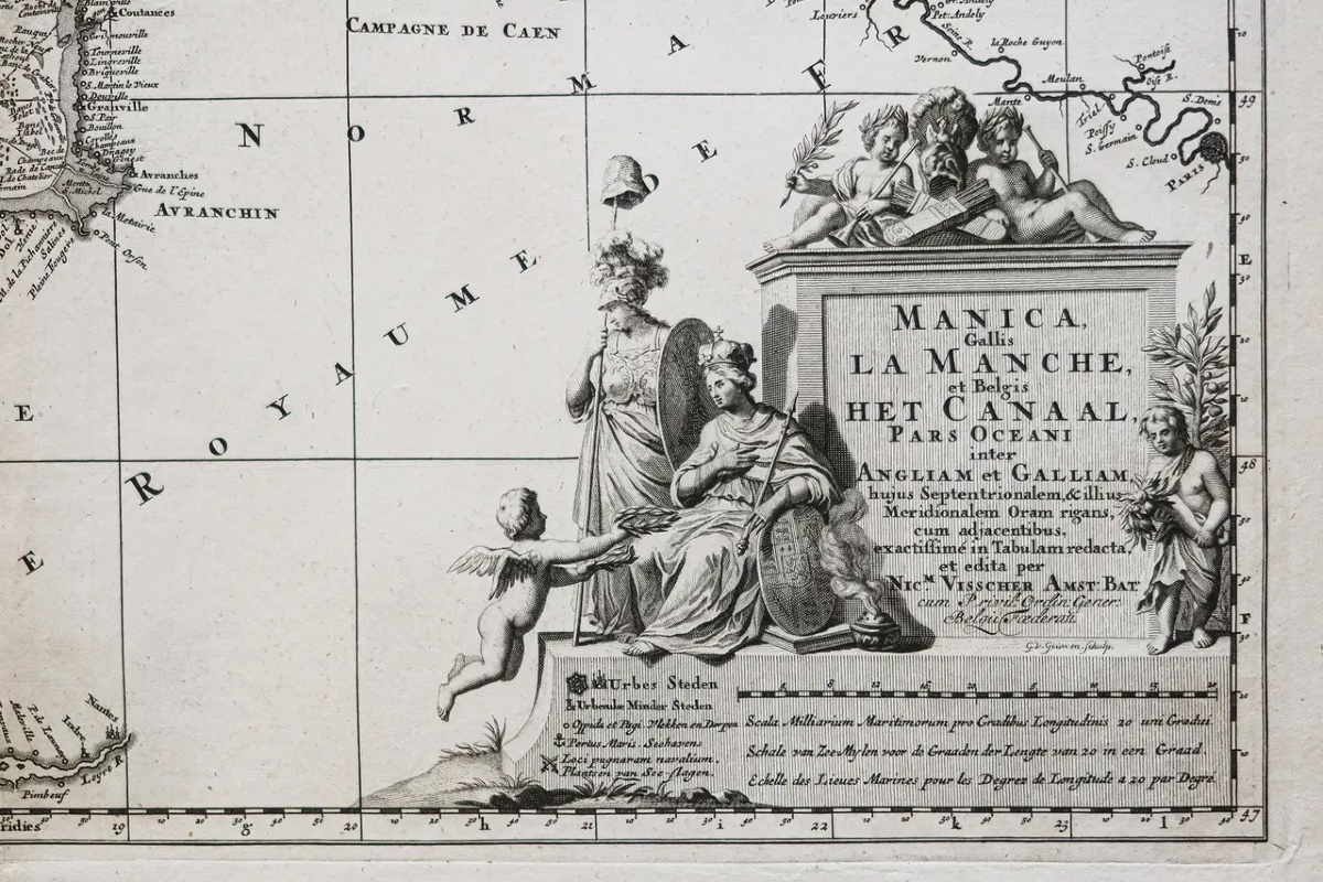
Original print made around 1690. Visscher, cartographer.
Scattered foxing.
Fair condition.
Sheet: 65.5 x 55 cm.
Engraving: 59 x 48.5 cm.
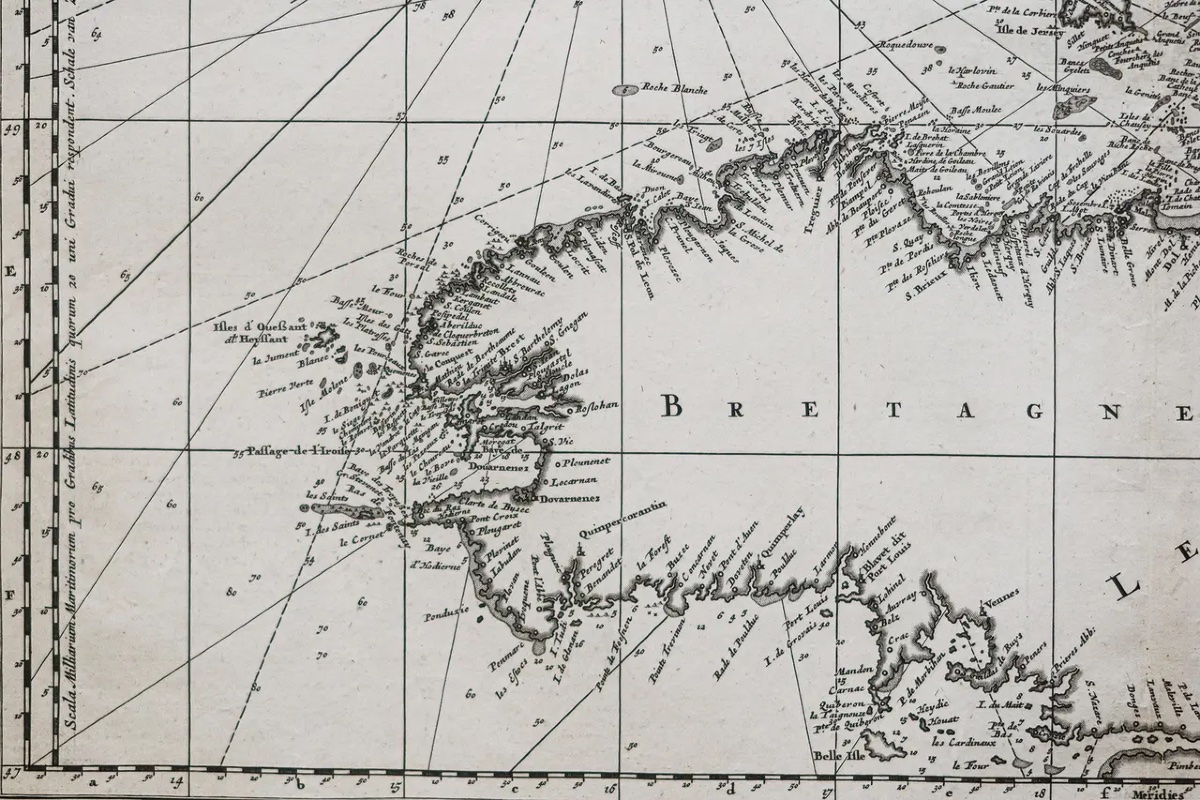
A particularly detailed map of the English Channel illustrating northern England, Brittany, Normandy, and part of Touraine.
You can view all the maps and engravings available for your region by clicking on the link to our website specializing in historical geographical archives:
https://cartes-livres-anciens.com/fr/recherche?lieu=normandie
Secure payment by credit card on our website by clicking the link:
https://cartes-livres-anciens.com/fr/products/carte-ancienne-du-canal-de-la-manche-2?v_id=variant_01M7QJS8YDDTA7AFBWS29BJF72
All of our maps and engravings come with a certificate of authenticity.For nearly a century, members of the Visscher family were prominent art dealers and map publishers in Amsterdam. The company’s founder, C. J. Visscher, had premises near those of Pieter van den Keere and Jodocus Hondius, of whom he may have been a student. Beginning around 1620, he designed a number of individual maps, including one of the British Isles, but his first atlas consisted of maps printed from plates purchased from van den Keere and published as is with a few additions, including historical battle scenes. Some maps bear the Latinized form of the family name: Piscator. After Visscher’s death, his son and grandson—both bearing the same name—published a considerable number of atlases, which were constantly revised and updated, though most of them lacked an index and varied content. Nicholaes Visscher II’s widow continued the business until it eventually passed into the hands of Pieter Schenk.
Period: 17th century
Style: Other Style
Condition: Good condition
Material: Paper
Reference (ID): 1861534
Availability: In stock