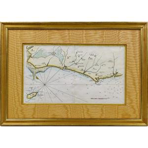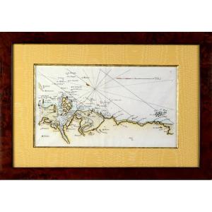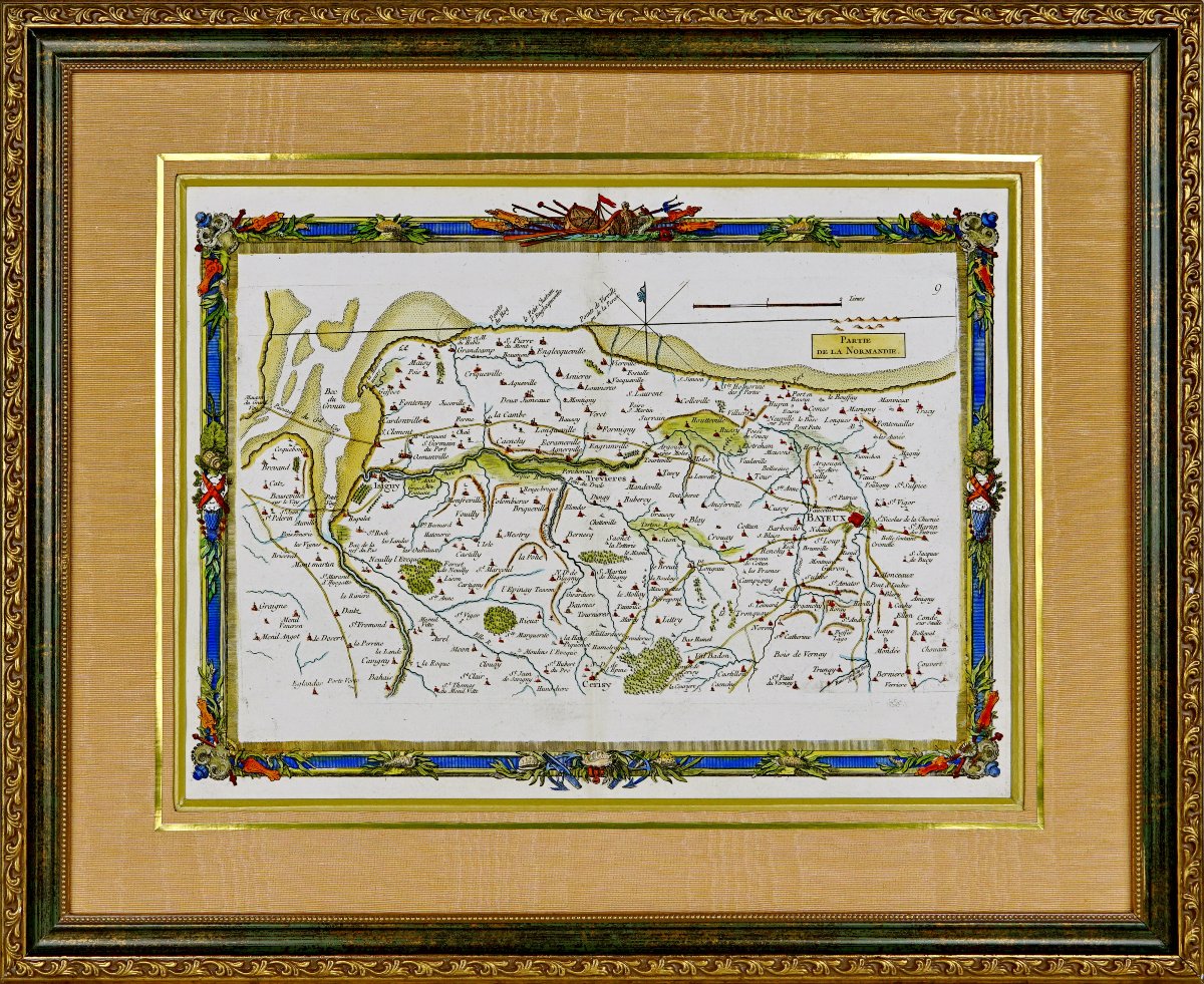
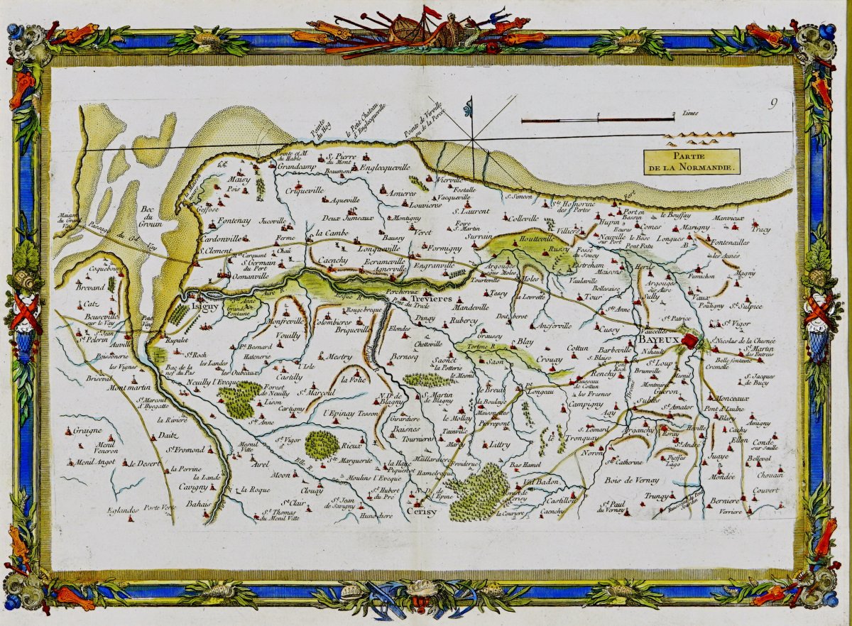
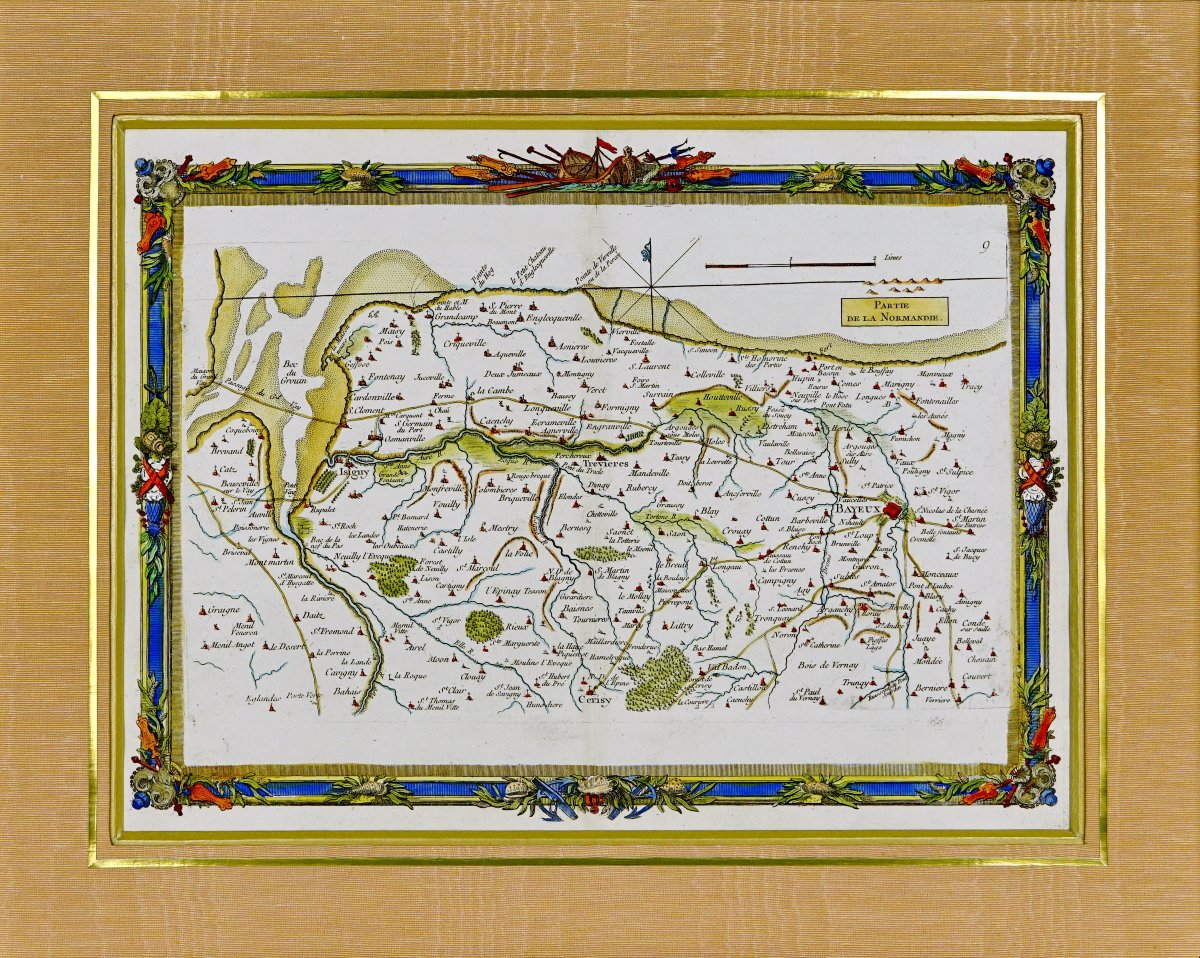


Nautical Map - "part Of Normandy - From The Passage Du Vey To Port-en-bessin - 18th Century"
No. 9" From the Passage du Vey, Bec de Grouin, Isigny, Vierville, Saint-Honorine-des-Pertes, Port-en-Bessin
Original print created in 1757 by cartographer Georges Louis Le ROUGE.
Taken from the "Recueil des Cotes Maritimes de France" published by Desnos.
Nautical details: The half-fleur-de-lis indicating north, sandbars, currents, and sea depths are clearly marked—essential elements for sailors of the time. A compass rose is also included, aiding navigation at sea.
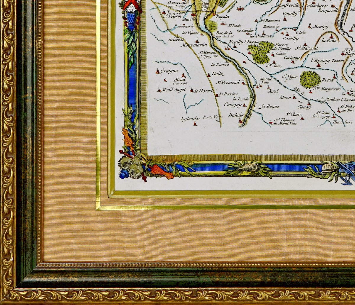
The map’s border is richly adorned with colorful motifs, featuring elements reminiscent of nautical instruments, weapons, and foliage. These ornaments add an artistic touch while reflecting the map’s symbolic and practical importance.
A particularly detailed coastal survey, drawn to a scale of 2 demi-lieues, created by Georges Le Rouge, a fortification engineer and geographer for King Louis XV. He also served as a military engineer for the Count of Clermont, as well as an engraver, publisher, and print dealer.
Beautiful hand-painted watercolor hues.
Dimensions: Frame: Height. 53.3 cm – Length: 44 cm – Width: Frame molding: 2.5 cm,
Condition: PERFECT CONDITION,
Period: MID-18TH CENTURY (1757),
Frame: CURRENT - Beveled gold molding - Orange moiré Marie-Louise mat - Wooden frame with an antique gold patina and green border.
PAYMENT AND SHIPPINGACCEPTED PAYMENT METHODS:
BANK TRANSFER / PAYPAL / ONLINE CREDIT CARD or CHECKS.
ITEMS WILL BE SHIPPED WITHIN 4 DAYS.
COMBINED SHIPPING AVAILABLE WHEN PURCHASING MULTIPLE ITEMS.
Period: 18th century
Style: Louis 15th - Transition
Condition: Perfect condition
Material: Paper
Length: 53.3 cm
Height: 44 cm
Reference (ID): 1838214
Availability: In stock