


1:200,000 Map. Army Map Service. Southeastern France
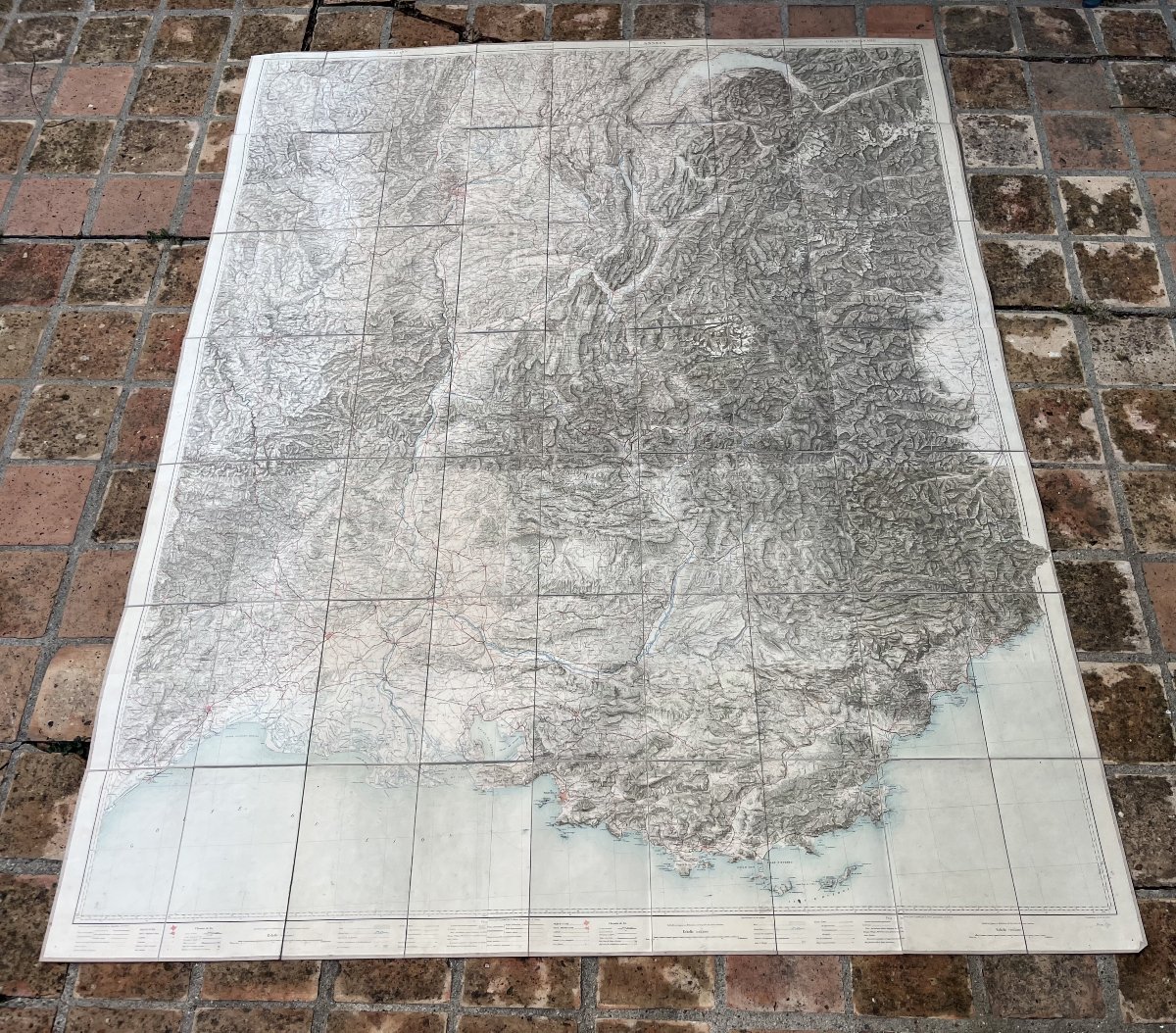
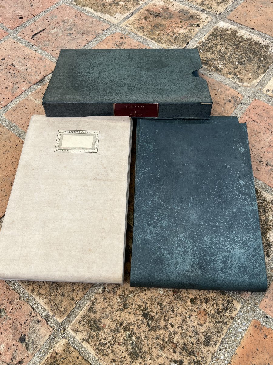
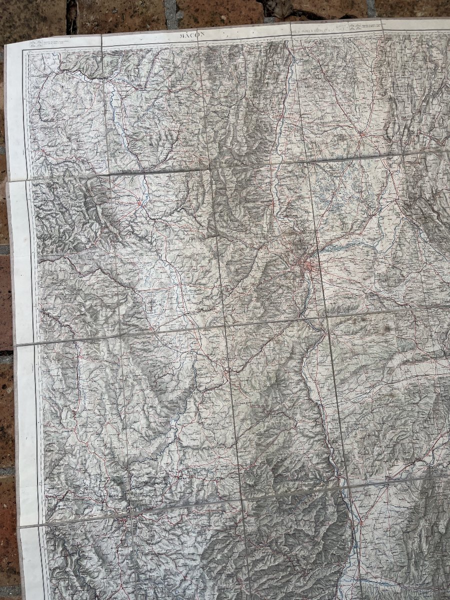
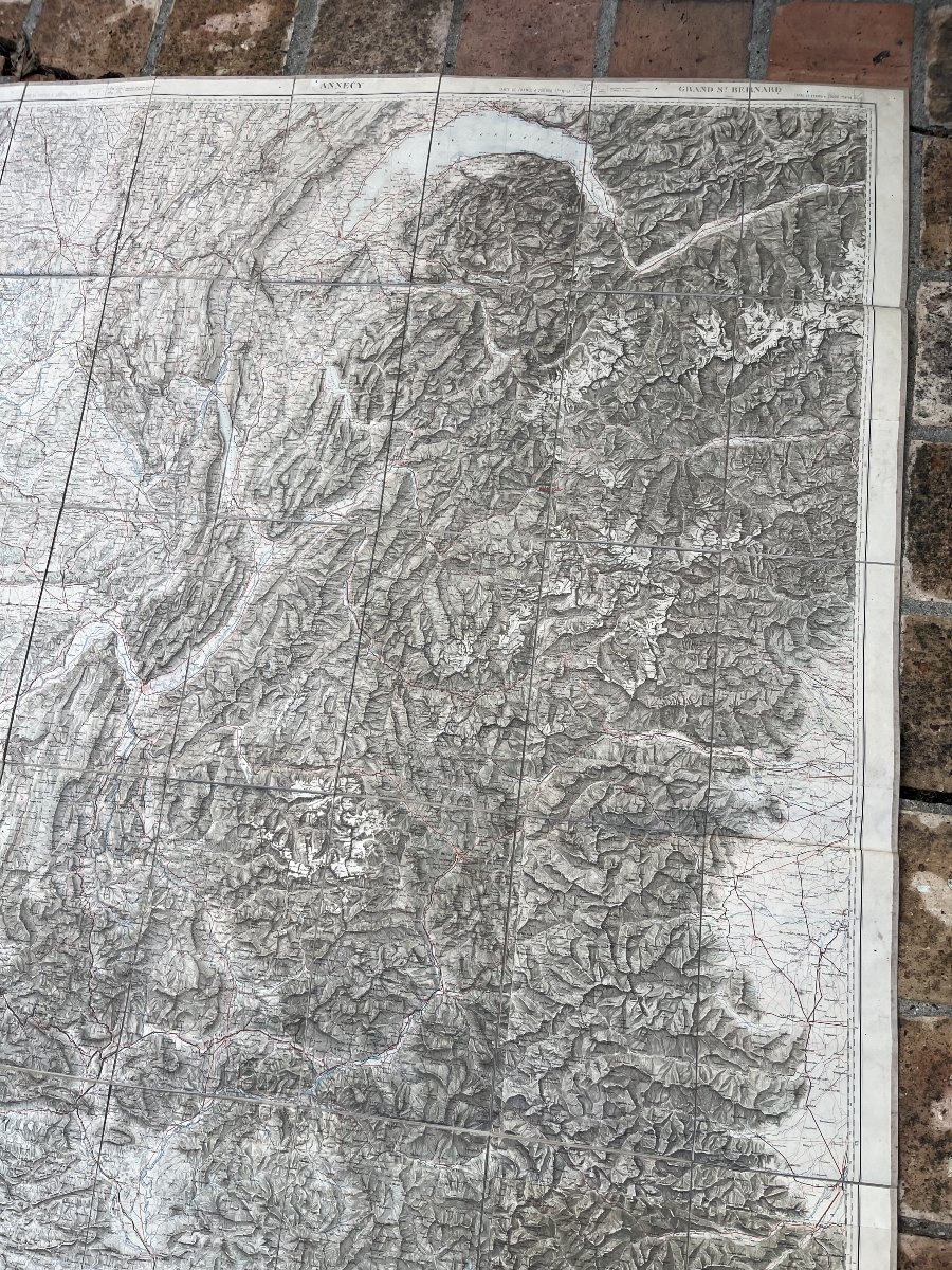
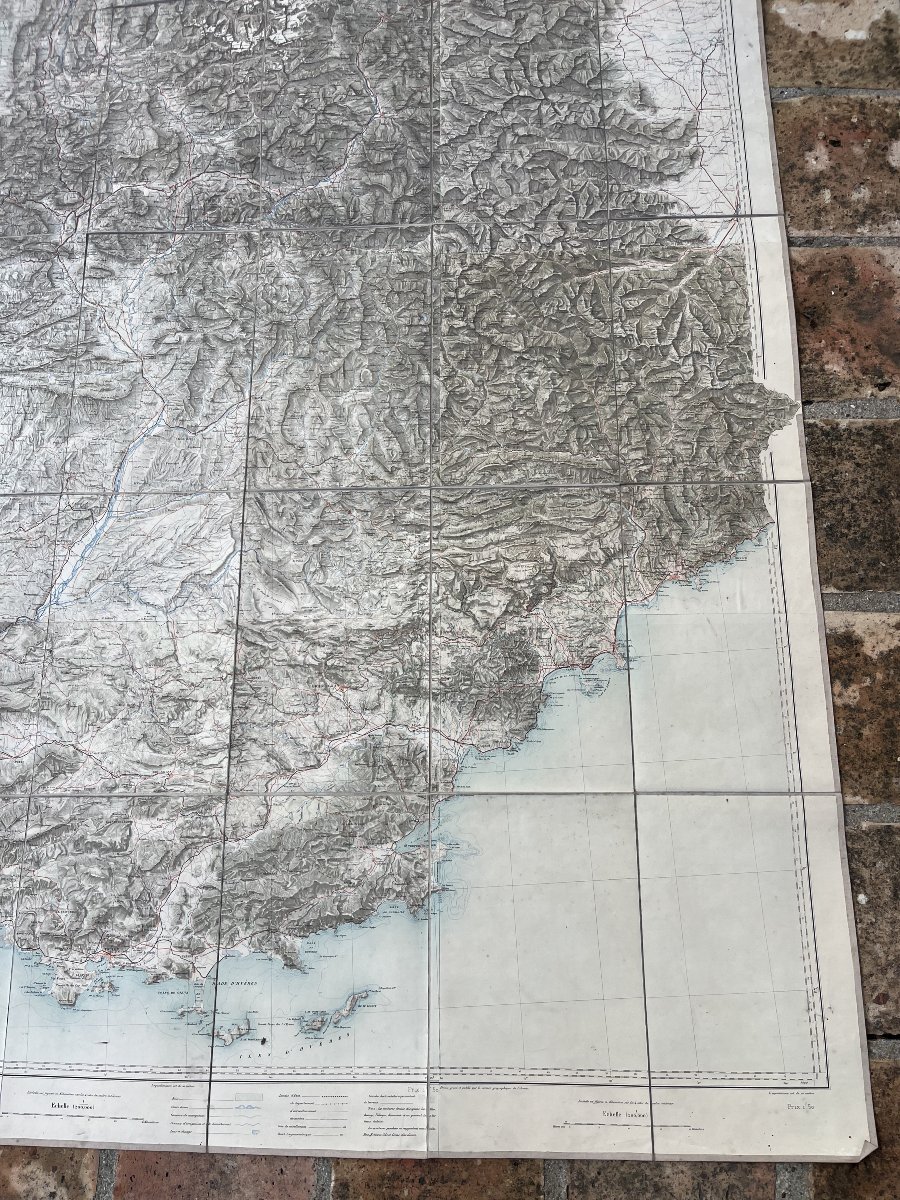
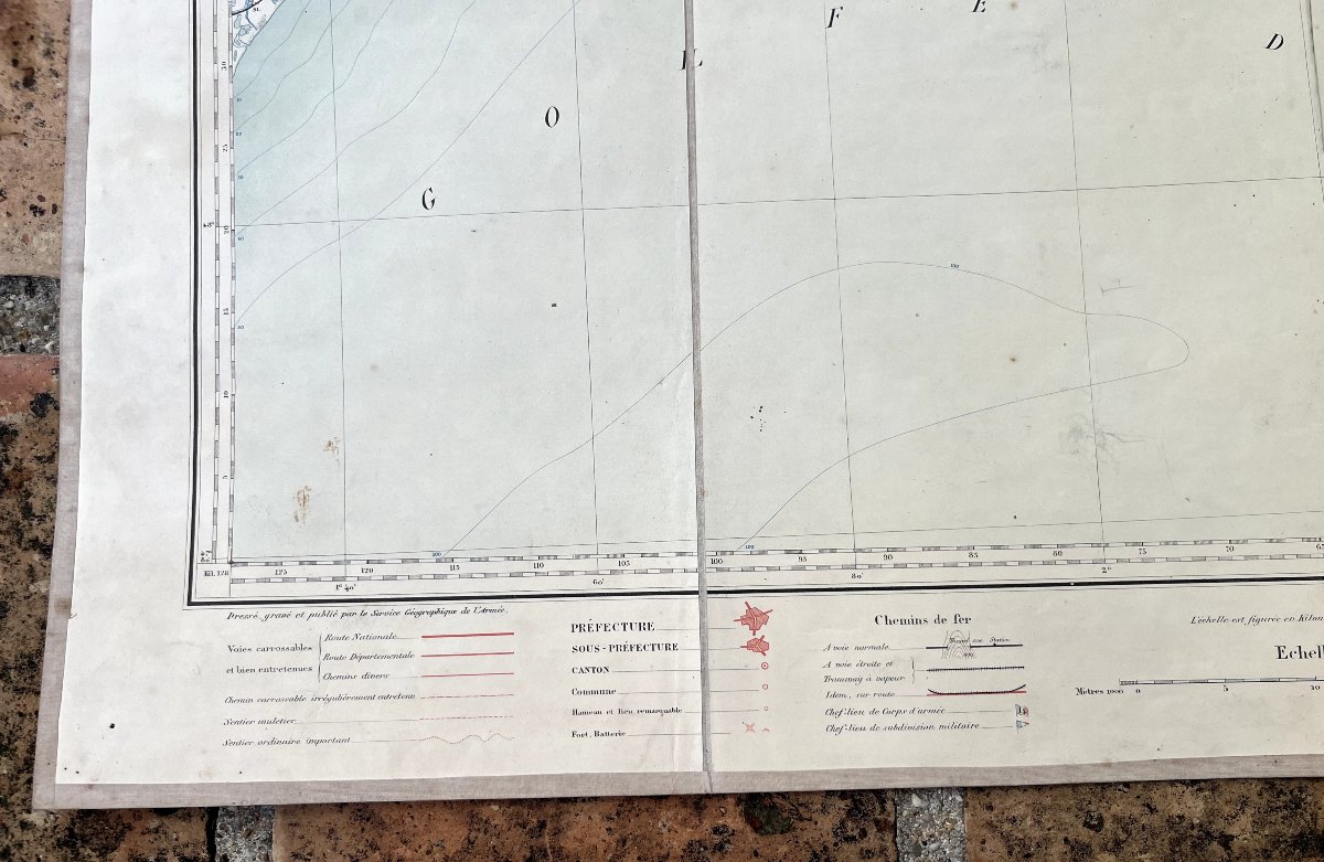
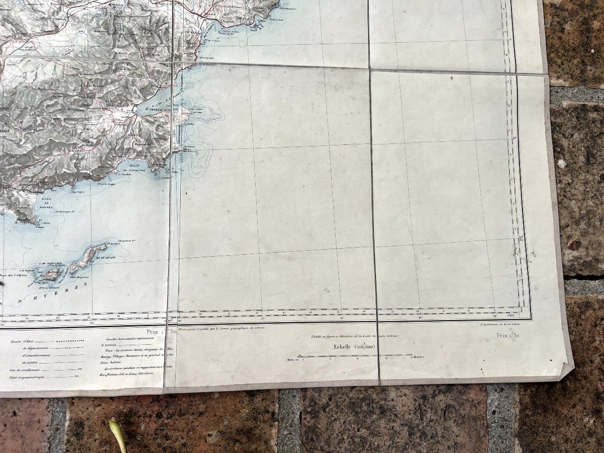
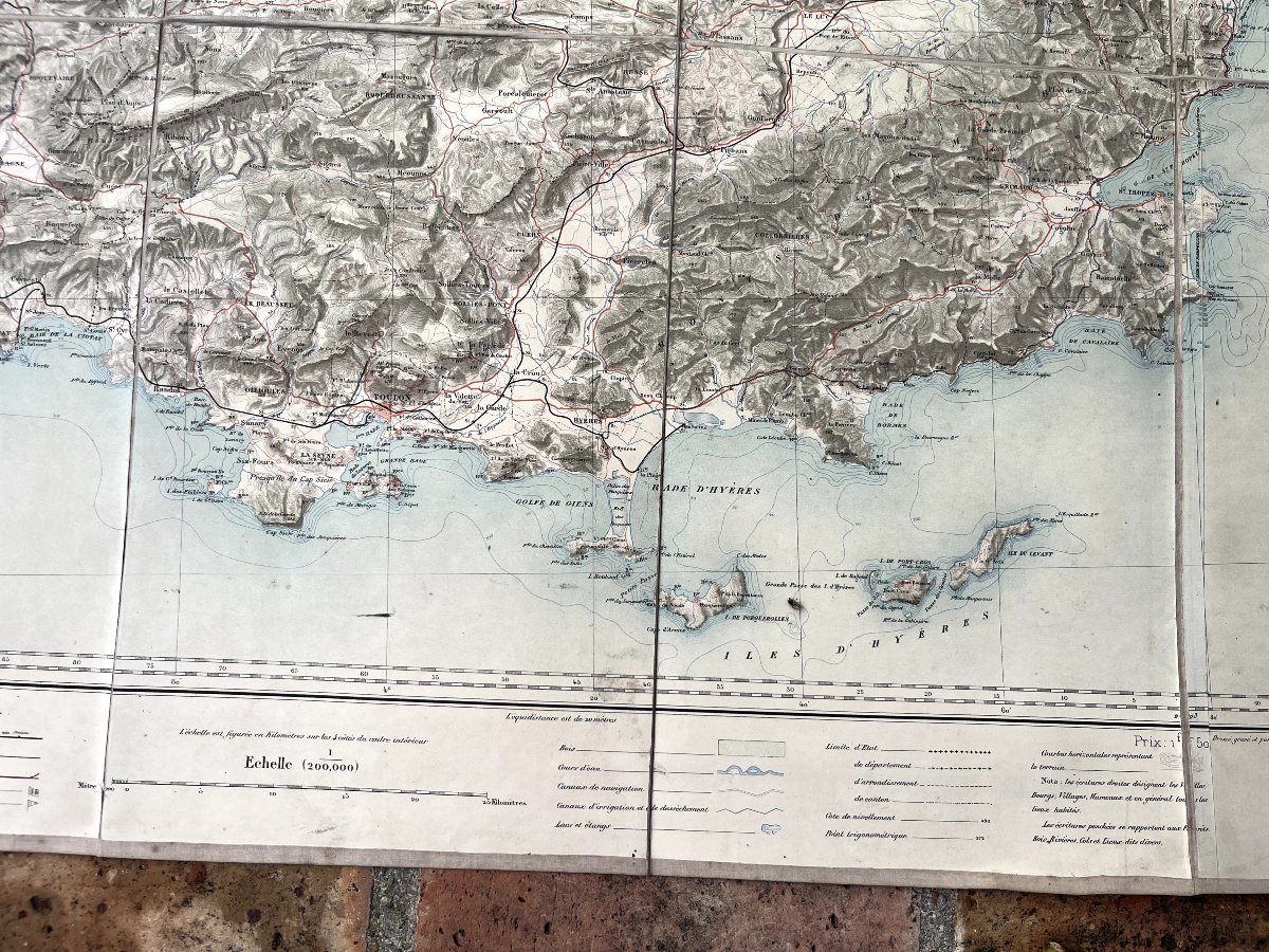
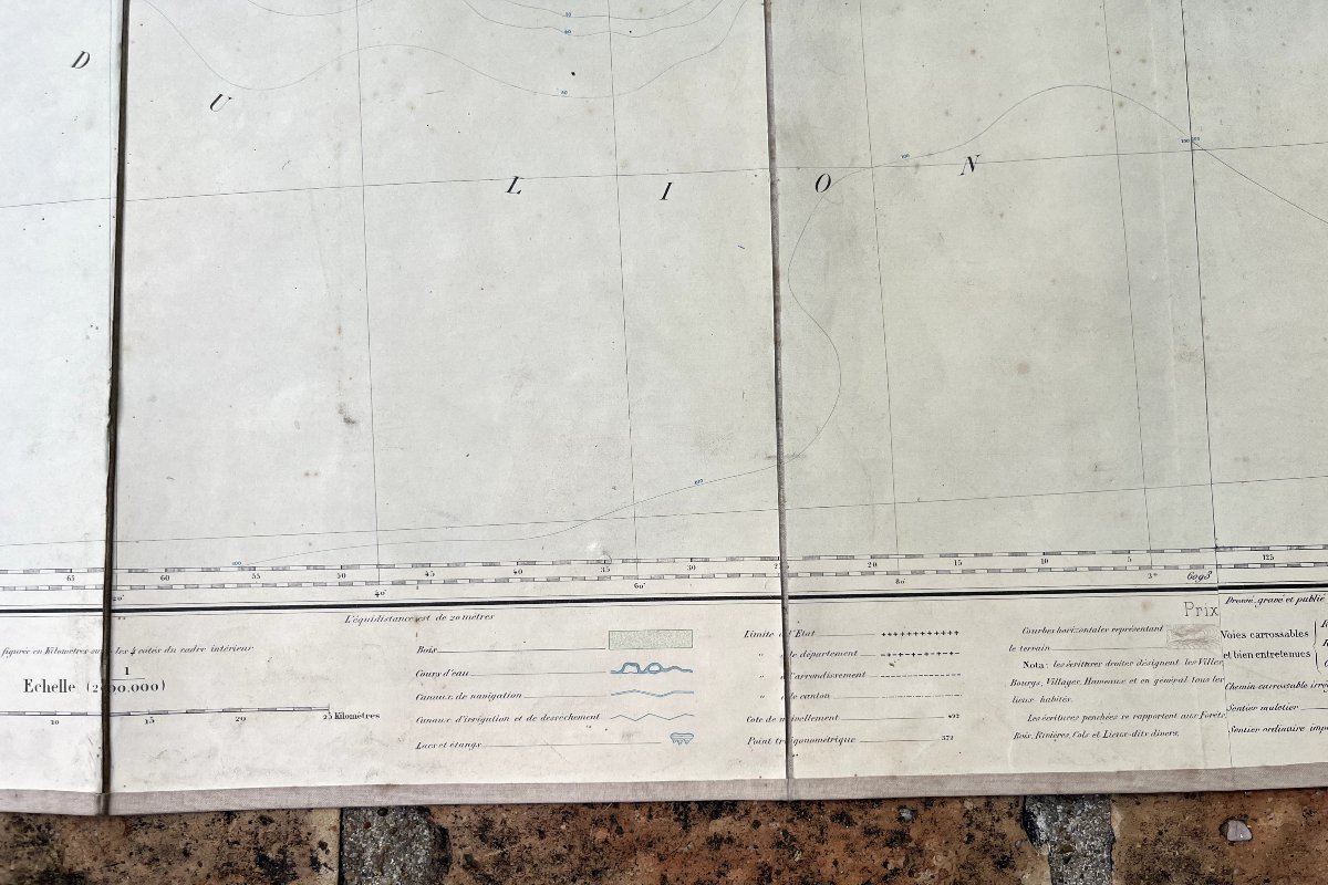
A large-scale map (1:200,000) of southeastern France. Compiled, engraved, and published by the Army Survey Service. Mounted on canvas by Corion in Paris, located at 45 Quai des Grands Augustins.
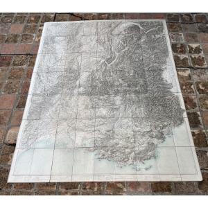
The map extends from the Étang de Thau to Monaco in the south and from Dampierre-sur-Besbre to Sierre, Switzerland, in the north.
The map measures 210 x 170
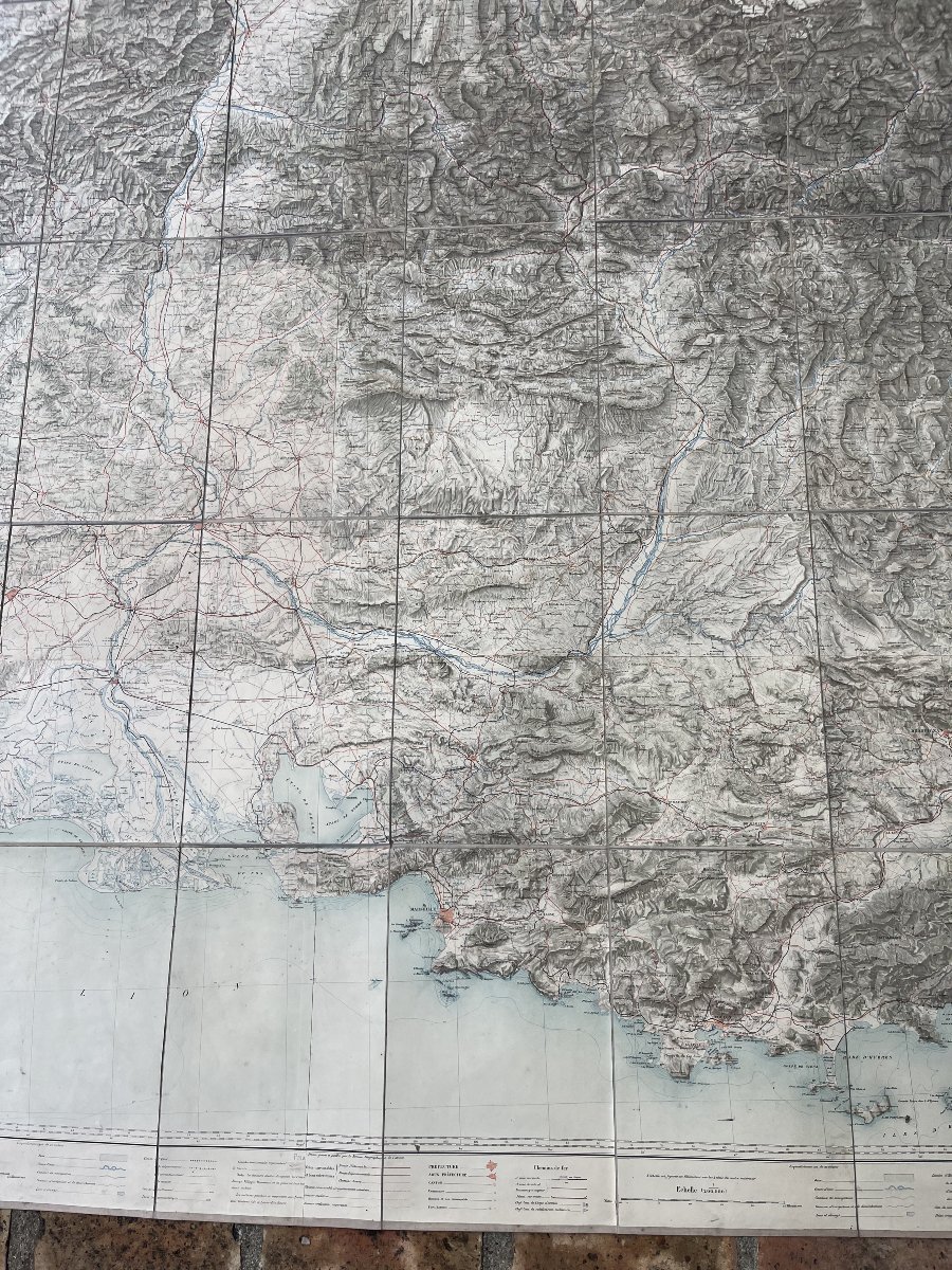
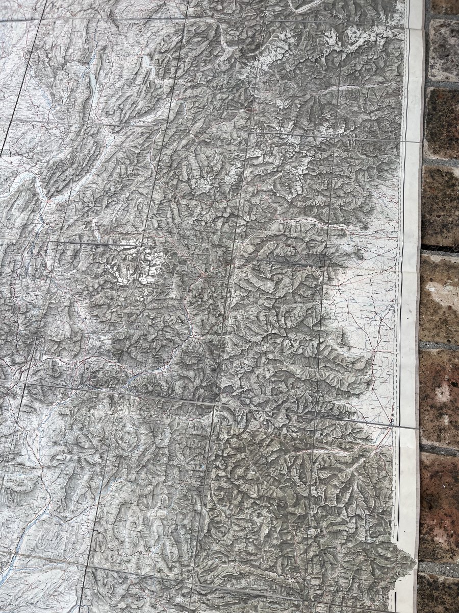
Good condition, no tears, no missing sections, and no stains; in excellent condition.
The map extends from the Étang de Thau to Monaco in the south and from Dampierre-sur-Besbre to Sierre, Switzerland, in the north.
The map measures 210 x 170
Good condition, no tears, no missing sections, and no stains; in excellent condition.
250 €
Period: 19th century
Style: Other Style
Condition: Good condition
Material: Paper
Reference (ID): 1834762
Availability: In stock
Print