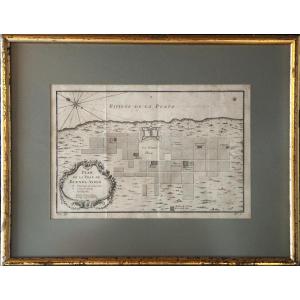


Jacques-nicolas Bellin (1703–1772) Map Of The City Of Buenos Aires – Rio De La Plata
Artist: Jacques-nicolas Bellin (1703-1772)
JACQUES-NICOLAS BELLIN (1703–1772)
MAP OF THE CITY OF BUENOS AIRES – RÍO DE LA PLATA
Historic copperplate engraving, circa 1750–1757, from Abbé Prévost’s *Histoire générale des voyages*
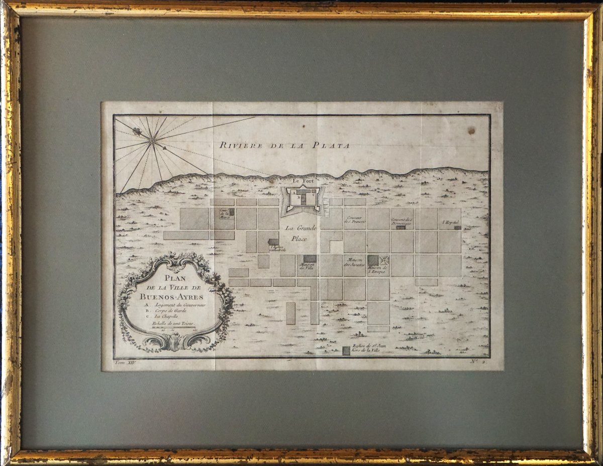
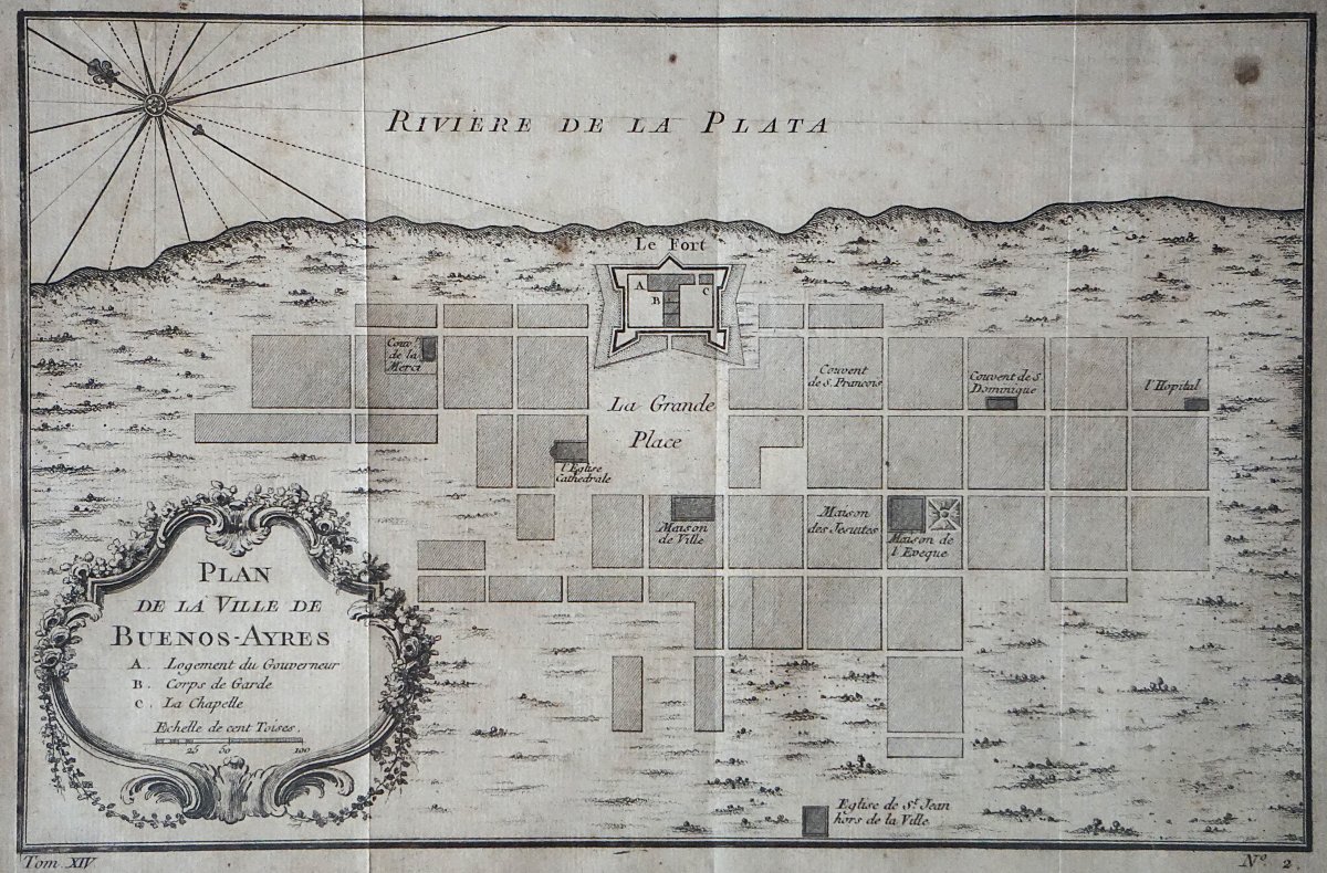
A beautiful cartographic document of colonial Buenos Aires, then the capital of the Spanish government of the Río de la Plata.
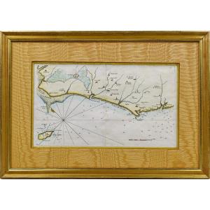
The map shows the city in its original grid layout, dominated by the Fort, the Main Square, and the principal religious and administrative institutions: the Convent of La Merced, the Franciscan Convent, the Dominican Convent, the hospital, the Bishop’s House, the Jesuit House, as well as the Church of St. John Outside the Walls.
The inclusion of the Río de la Plata and the compass rose enhances the geographical and historical significance of this map. This map is attributed to the great French cartographer Jacques-Nicolas Bellin (1703–1772), a leading figure in 18th-century French cartography, a hydrographic engineer for the Navy, and the king’s official hydrographer.
Bellin produced numerous maps intended to illustrate Abbé Prévost’s General History of Travels, one of the great geographical and historical works of the Enlightenment.
A particularly interesting document for enthusiasts of the history of Buenos Aires, old cartography, and Spanish America, offering a rare view of the city before the major transformations of the 19th century.
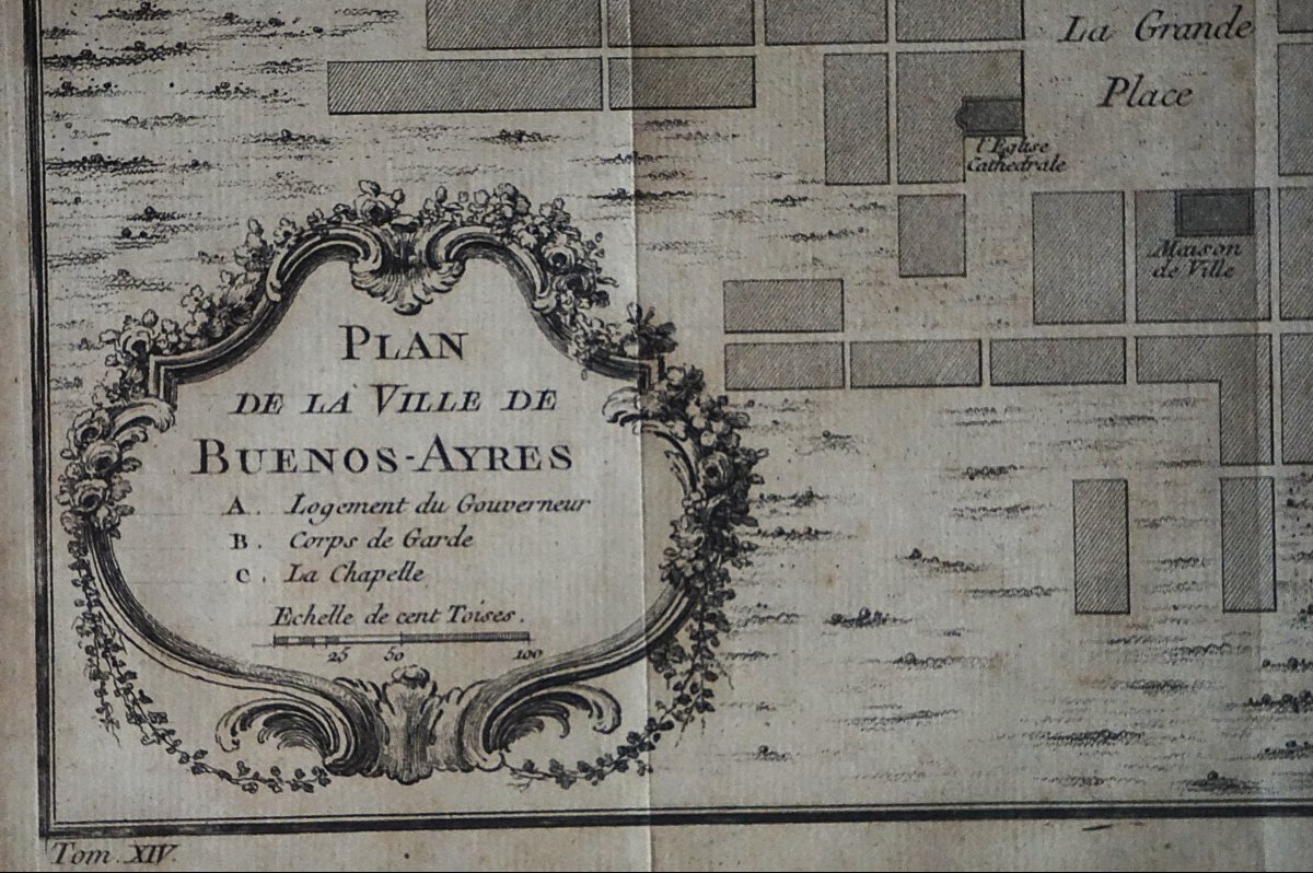
Note: the visible inscription at the bottom of the engraving, “Volume XIV – No. 2,” corresponds to a French edition of Prévost’s work.
20 x 29 unframed
34 x 43 framed
MAP OF THE CITY OF BUENOS AIRES – RÍO DE LA PLATA
Historic copperplate engraving, circa 1750–1757, from Abbé Prévost’s *Histoire générale des voyages*
A beautiful cartographic document of colonial Buenos Aires, then the capital of the Spanish government of the Río de la Plata.
The map shows the city in its original grid layout, dominated by the Fort, the Main Square, and the principal religious and administrative institutions: the Convent of La Merced, the Franciscan Convent, the Dominican Convent, the hospital, the Bishop’s House, the Jesuit House, as well as the Church of St. John Outside the Walls.
The inclusion of the Río de la Plata and the compass rose enhances the geographical and historical significance of this map. This map is attributed to the great French cartographer Jacques-Nicolas Bellin (1703–1772), a leading figure in 18th-century French cartography, a hydrographic engineer for the Navy, and the king’s official hydrographer.
Bellin produced numerous maps intended to illustrate Abbé Prévost’s General History of Travels, one of the great geographical and historical works of the Enlightenment.
A particularly interesting document for enthusiasts of the history of Buenos Aires, old cartography, and Spanish America, offering a rare view of the city before the major transformations of the 19th century.
Note: the visible inscription at the bottom of the engraving, “Volume XIV – No. 2,” corresponds to a French edition of Prévost’s work.
20 x 29 unframed
34 x 43 framed
130 €
Period: 18th century
Style: Louis 15th - Transition
Condition: Excellent condition
Material: Paper
Reference (ID): 1824276
Availability: In stock
Print