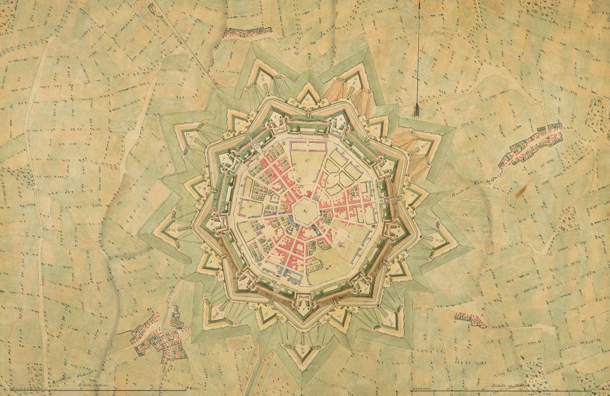
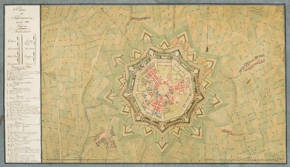

Hand-drawn Map: “map Of Palmanova, Year 1813” (italy, Friuli-venezia Giulia Region).
Hand-drawn map. Black ink, brown ink, and wash. 43.2 x 78 cm, mounted on a blue paper mat measuring 52.2 x 87.1 cm. Small tears on the right side of the mat, not extending to the map.
Map of the city of Palmanova, south of Udine. Famous for its nine-pointed star-shaped fortifications, Palmanova was built in 1593 by the Republic of Venice to represent the cutting edge of military defense technology. It was designed by the architect Vincenzo Scamozzi(1548–1616), who worked in Venice, Vicenza, and Padua. In 1813, Palmanova became part of the Napoleonic Kingdom of Italy, under French control. Present between 1805 and 1814, the French expanded and improved the city’s defensive system; our map shows the city’s layout following these modifications. In 1814, Palmanova, like the entire northeastern part of Italy, came under Austrian rule.
A detailed legend on the left side of the map identifies and provides details on the fortifications, the interior of the town, the artillery and engineering works, the prisons, the food supply facilities, the barracks, and the artillery depots. Scale in toises at the bottom left. Scale in meters at the bottom right.
Ref. A14-77
Period: 19th century
Style: Consulat, Empire
Condition: Good condition
Reference (ID): 1812589
Availability: In stock