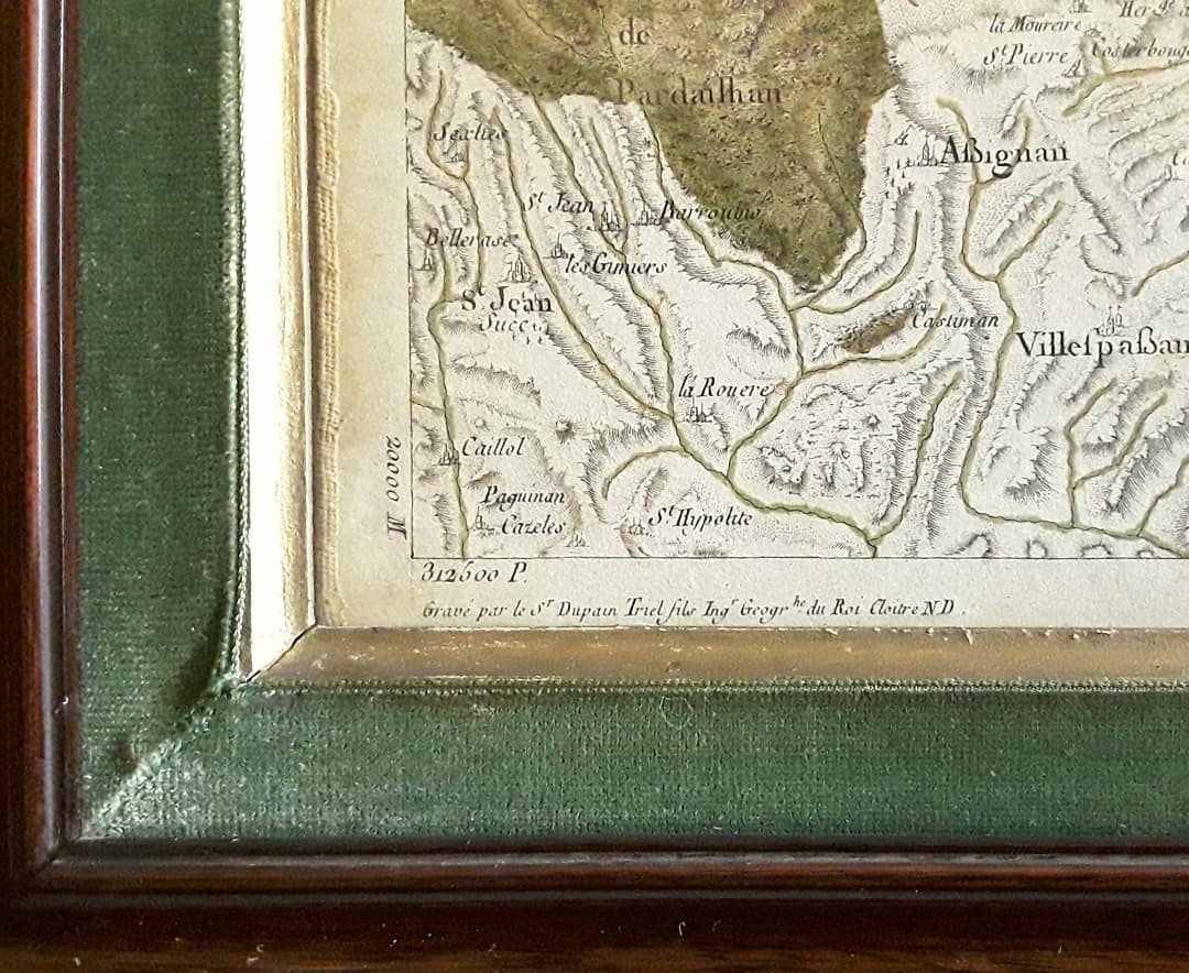


18th Century Map. Languedoc Region.
Artist: Dupain- Triel Fils. Ingénieur Du Roi.
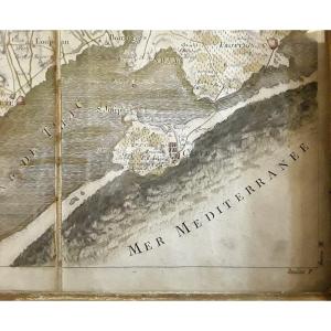
Large map framed and pasted on canvas from the 18th century. Engraved by Dupain-Triel, it represents part of the Languedoc region between "Cette", St Chinian and Lodeve. (Region No. 57). Good state of conservation.
450 €
Period: 18th century
Style: Louis 16th, Directory
Condition: Bel état
Width: 92 cm gravure/ 105 cm cadre
Height: 59 cm gravure /71 cm cadre
Reference (ID): 1059959
Availability: In stock
Print