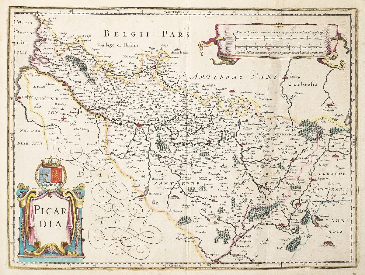
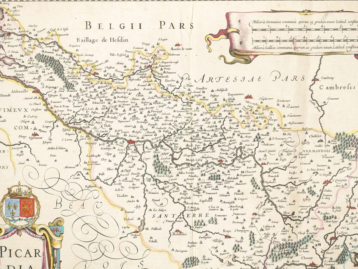
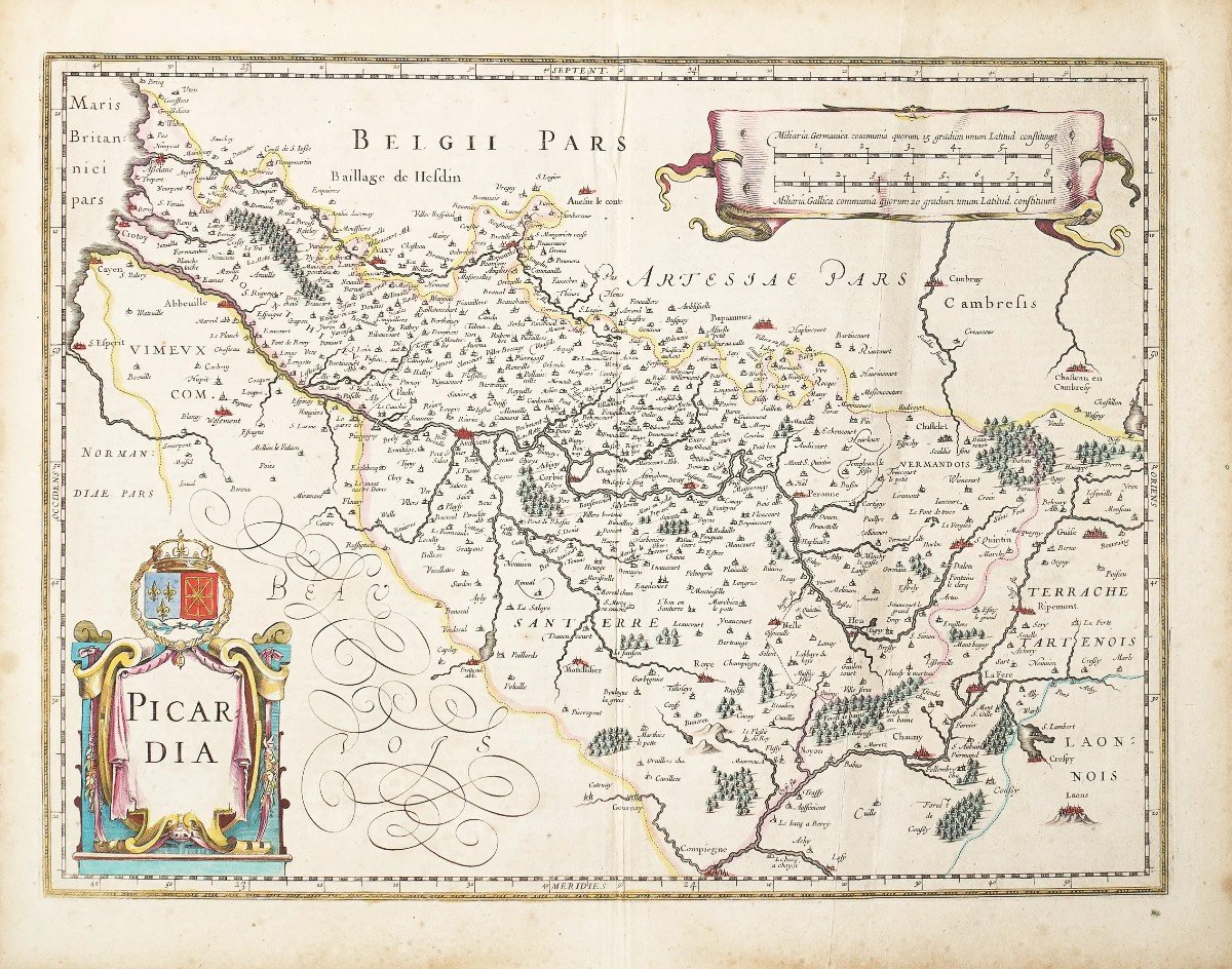
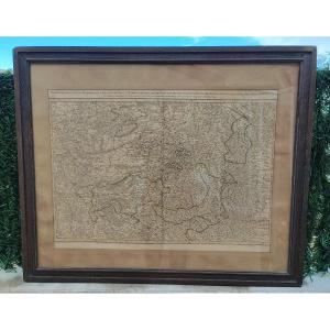
"Old Map Of Picardy"
Epreuve originale gravée vers 1630. J. Janson géographe.Beaux coloris anciens.
Texte explicatif en latin au verso.
Quelques rousseurs dans les marges n’atteignant pas la carte, une trace de pli qui disparaîtra lors de l’encadrement.
Très bon état.
Format feuille : 55,5 x 44,5 cm.
Format gravure : 50,5 x 38 cm.
Original antique map print in 1630.
Vous pouvez consulter l’ensemble des cartes, livres et gravures disponibles sur votre région en cliquant sur le lien de notre site internet spécialisé en archives anciennes géographiques :
https://cartes-livres-anciens.com/categorie-produit/cartes-geographiques-anciennes-original-antique-maps/france/picardie-oise/
Règlement sécurisé par carte bancaire sur notre site internet en cliquant sur le lien ci-dessous :
https://cartes-livres-anciens.com/produit/cartes-geographiques-anciennes-original-antique-maps/france/picardie-oise/carte-ancienne-picardie-picardia/
Toutes nos cartes et gravures sont accompagnées d’un certificat d’authenticité.
Johannes Janssonius, plus connu sous le nom de Jan Jansson, est né à Arnhem, où son père était libraire et éditeur (Jan Janszoon the Elder).
En 1612, il épousa la fille du cartographe et éditeur Jodocus Hondius, puis s’installa à Amsterdam en tant qu’éditeur de livres. En 1616, il publie ses premières cartes de France et d’Italie et produit à partir de ce moment un très grand nombre de cartes, tout à fait comparables à celles de la famille Blaeu, car très proches en quantité et en qualité.
De 1630 à 1638 environ, il s’associa à son beau-frère, Henricus Hondius, et publia de nouvelles éditions des atlas Mercator / Hondius auxquels il fut associé. À la mort de Henricus, il reprit l’entreprise, élargissant encore l’édition de cartes jusqu’à ce qu’il publie finalement un Atlas Major en 11 volumes à une échelle similaire à celle de l’Atlas Major de Blaeu.
En général, les cartes de Jansson ressemblent beaucoup à celles de Blaeu et, en fait, elles en ont souvent été copiées, mais elles ont tendance à être plus flamboyantes et, selon certains, plus décoratives.
Original proof engraved around 1630. J. Janson geographer. Beautiful old colors. Explanatory text in Latin on the back. Some foxing in the margins not reaching the map, a trace of fold which will disappear when framing. Very good state. Sheet size: 55.5 x 44.5 cm. Engraving format: 50.5 x 38 cm. Original antique map print in 1630. You can consult all the maps, books and engravings available in your region by clicking on the link of our website specializing in ancient geographical archives: https://cartes-livres-anciens.com/ categorie-produit/cartes-geographiques-anciennes-original-antique-maps/france/picardie-oise/ Secure payment by credit card on our website by clicking on the link below: https://cartes-livres-anciens. com/produit/cartes-geographiques-anciennes-original-antique-maps/france/picardie-oise/carte-ancienne-picardie-picardia/ All our maps and engravings are accompanied by a certificate of authenticity. Johannes Janssonius, better known as Jan Jansson, was born in Arnhem, where his father was a bookseller and publisher (Jan Janszoon the Elder). In 1612 he married the daughter of cartographer and publisher Jodocus Hondius, then moved to Amsterdam as a book publisher. In 1616, he published his first maps of France and Italy and from that moment produced a very large number of maps, completely comparable to those of the Blaeu family, as they were very similar in quantity and quality. From about 1630 to 1638 he associated with his brother-in-law, Henricus Hondius, and published new editions of the Mercator/Hondius atlases with which he was associated. On Henricus' death he took over the business, further expanding the map publishing until he finally published an 11-volume Atlas Major on a scale similar to that of Blaeu's Atlas Major. In general, Jansson's maps are very similar to Blaeu's and, in fact, they were often copied from them, but they tend to be more flamboyant and, according to some, more decorative.










 Le Magazine
 Rivista Artiquariato
 TRÉSORS magazine