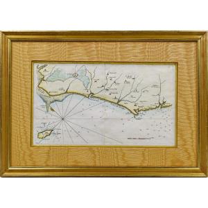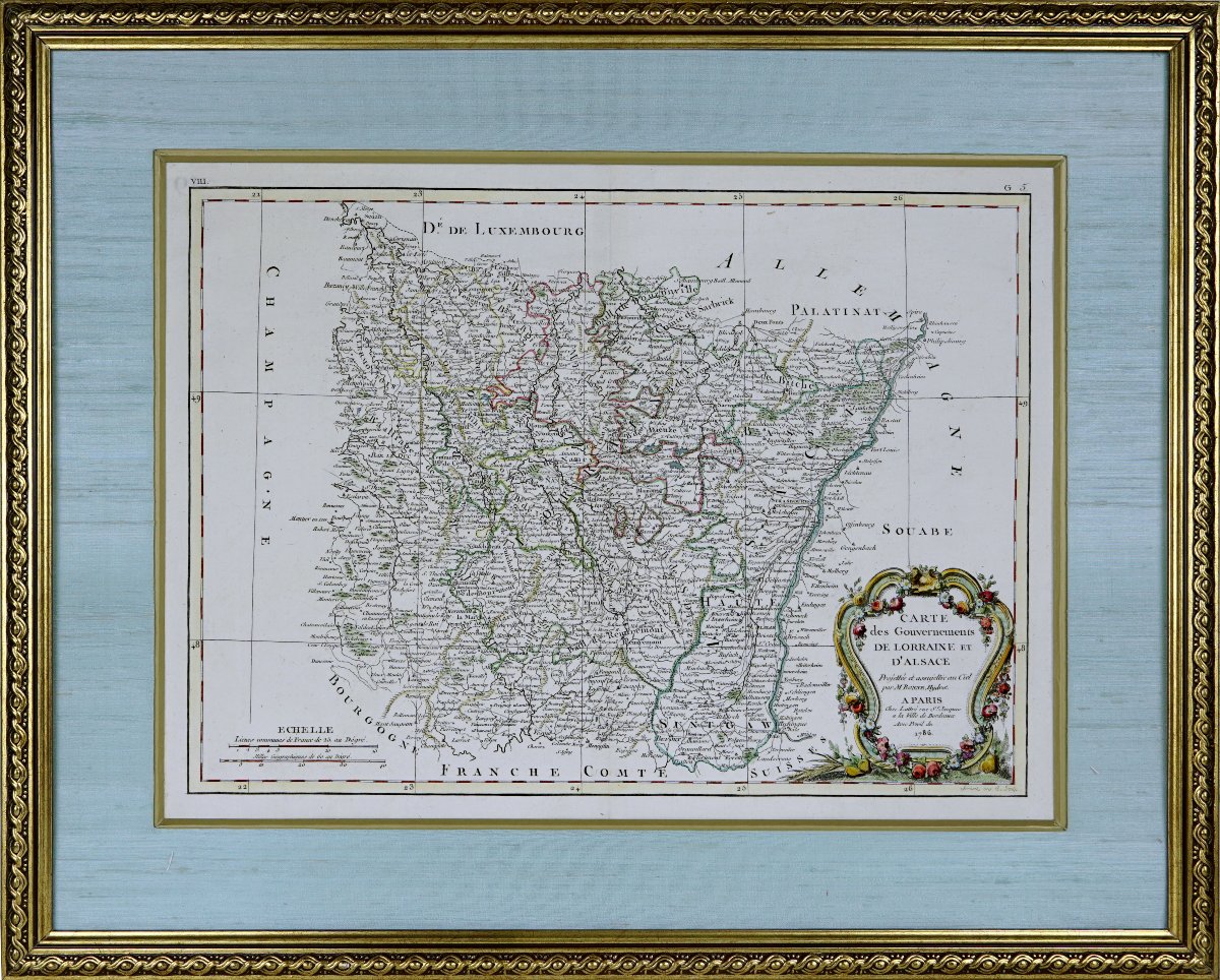
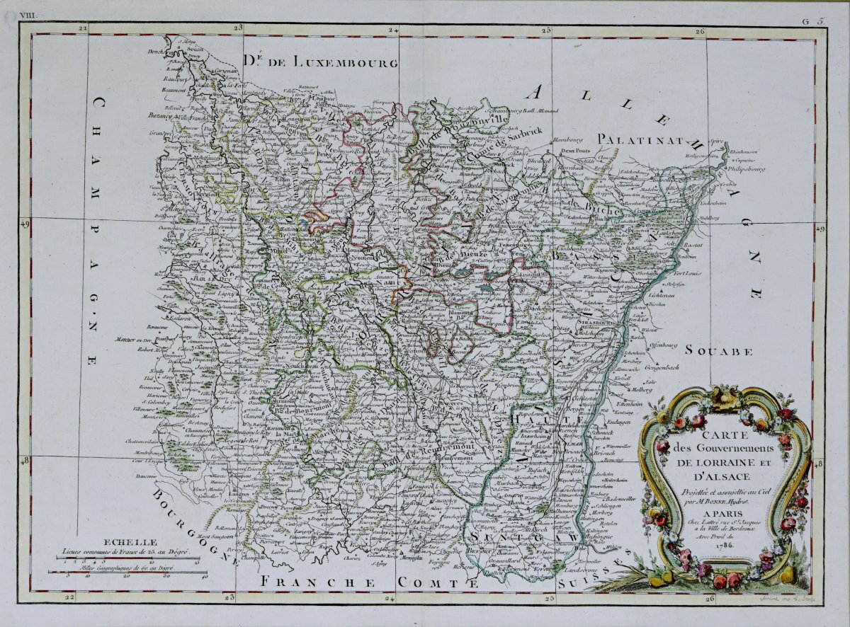


Beautiful And Large Engraving, “map Of The Governments Of Lorraine And Alsace” – 18th Century
Original intaglio engraving on laid paper.
Hand-colored with watercolors.
A beautiful map depicting the former provinces of Lorraine and Alsace, drawn by the French geographer and hydrographic engineer Rigobert BONNE (1727–1794). It was published in Paris in 1786 by the publisher and print dealer Jean Lattré, based on Rue Saint-Jacques, “in the City of Bordeaux.”
The map provides a detailed depiction of Lorraine and Alsace at the end of the Ancien Régime, a few years before the French Revolution. It shows the region’s major cities, towns, villages, roads, waterways, and territorial divisions. Notably depicted are Metz, Nancy, Verdun, Toul, Strasbourg, and Colmar, as well as the territories of Barrois, the Three Bishoprics, Lorraine, and Alsace.
Neighboring regions are also indicated: Champagne, the Duchy of Luxembourg, the Palatinate, Swabia, Burgundy, and Franche-Comté. The Rhine forms the major natural eastern boundary of Alsace, while the Moselle, the Meuse, the Meurthe, and their tributaries define the territory of Lorraine.
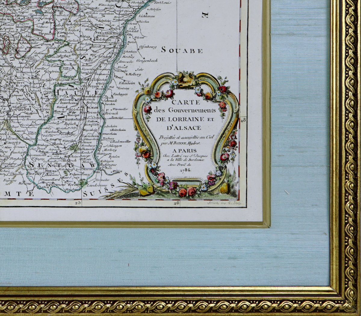
In the lower right corner is a beautiful rococo-style title cartouche. It is richly decorated with garlands of flowers, roses, fruits, and ears of grain. It bears the inscription: “Map of the Provinces of Lorraine and Alsace, designed and submitted to Heaven by Mr. Bonne, Hydrographer. In Paris, at Lattré’s, Rue Saint-Jacques, in the City of Bordeaux, by Royal Privilege, 1786.”
Dimensions: Frame: Length 58.4 cm - Height 47 cm, Molding: 3 cm,
Condition: PERFECT CONDITION,
Period: Engraving(s): LATE 18TH CENTURY (Dated 1786),
Frame(s): CURRENT - Composed of a bevel with an aged gold finish and a sky-blue raw silk mat. The entire piece is set in a gilded wooden frame, also enhanced with an aged gold finish.
Period: 18th century
Style: Louis 16th, Directory
Condition: Perfect condition
Material: Paper
Length: 58.4 cm
Height: 47 cm
Reference (ID): 1831379
Availability: In stock