
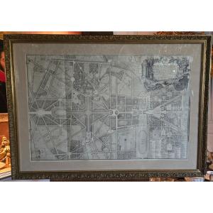


Large Map Of Versailles Based On A Work By Jean Delagrive—an Old Reprint, Probably From The 19th Century.
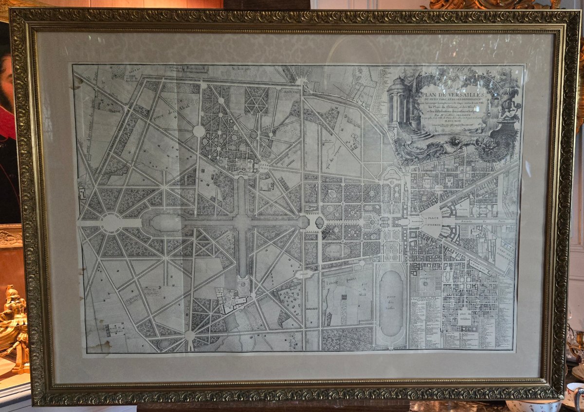
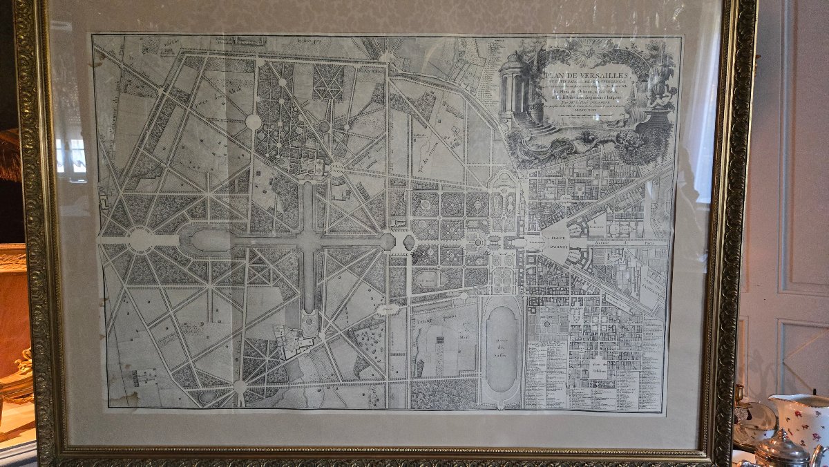
Large-scale map of Versailles, the Petit Parc, and its outbuildings, based on a work by Jean Delagrive (1689–1757); an old reprint, likely from the 19th century, based on the original plate published in 1746.
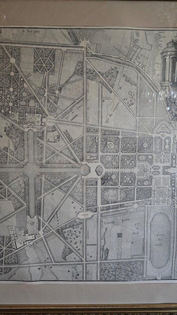
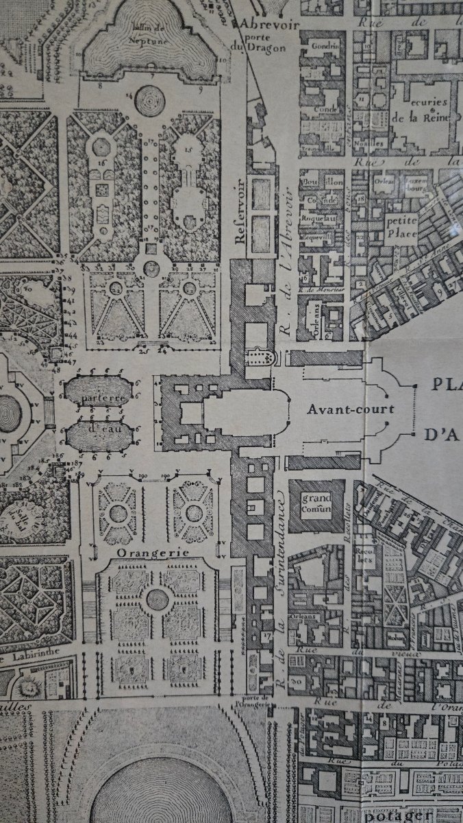
This significant cartographic composition depicts the Palace of Versailles, the town, the Petit Parc, and their outbuildings with great precision.
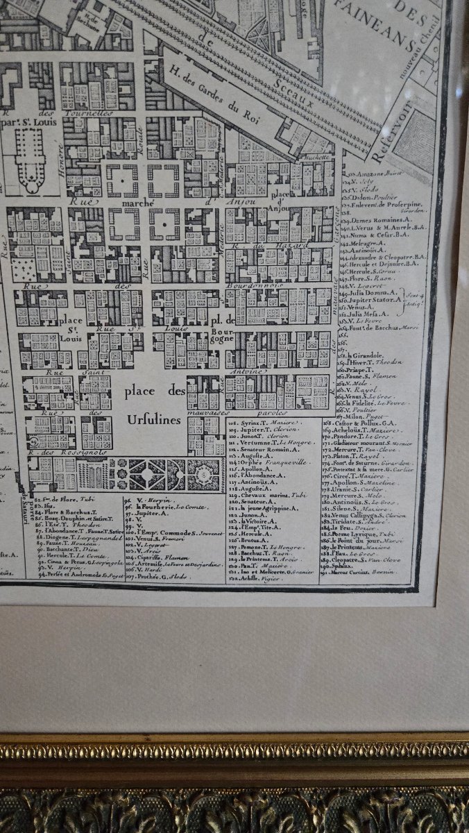
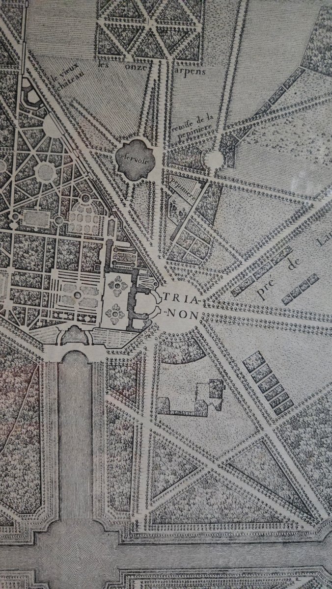
The palace and its courtyards, the Orangery, the King’s Kitchen Garden, the Grand and Petit Trianon, the Menagerie, the Swiss Guard’s Quarters, the fountains, groves, and various views of the park are depicted, as well as the urban fabric of Versailles, including the layout of streets and squares and the locations of numerous mansions and buildings.
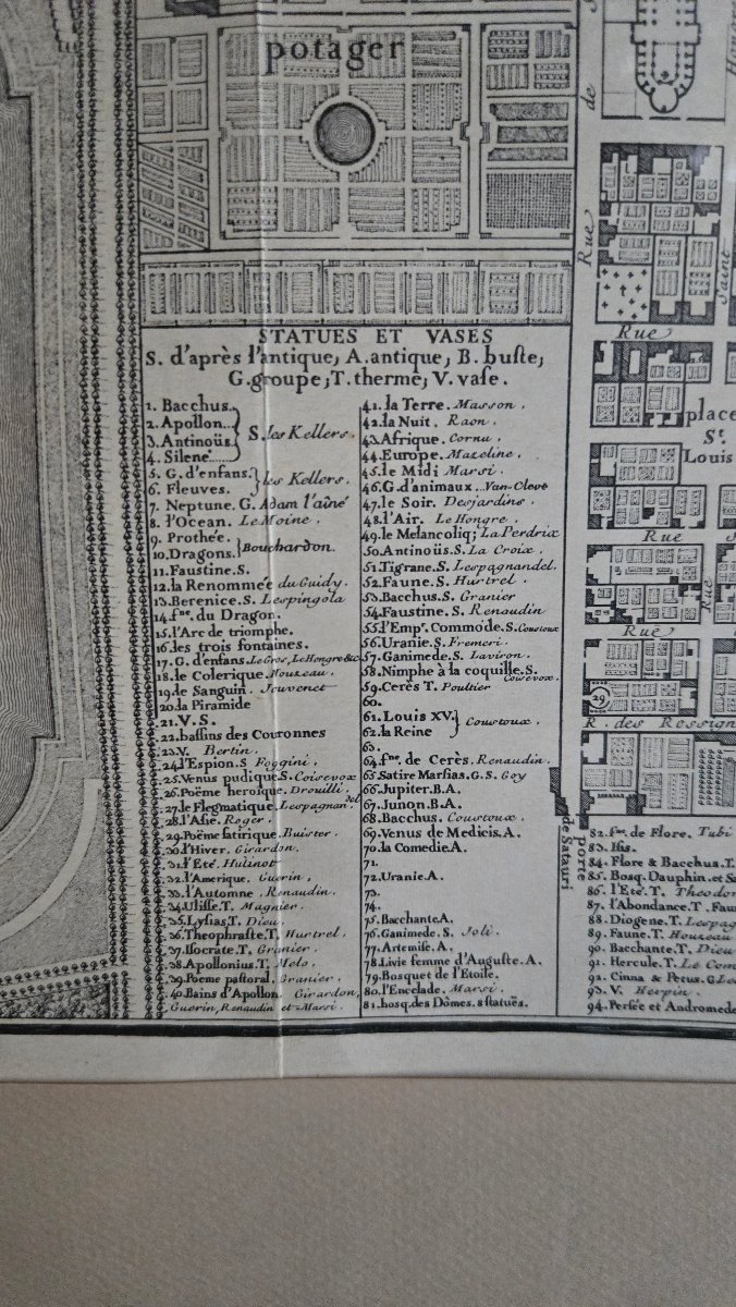
The map also includes a comprehensive list of the statues and vases adorning the gardens, along with the names of their creators, including Girardon, Coysevox, Marsy, Le Hongre, and Tuby, thus providing a particularly detailed account of the layout and decoration of the Versailles estate in the mid-18th century.
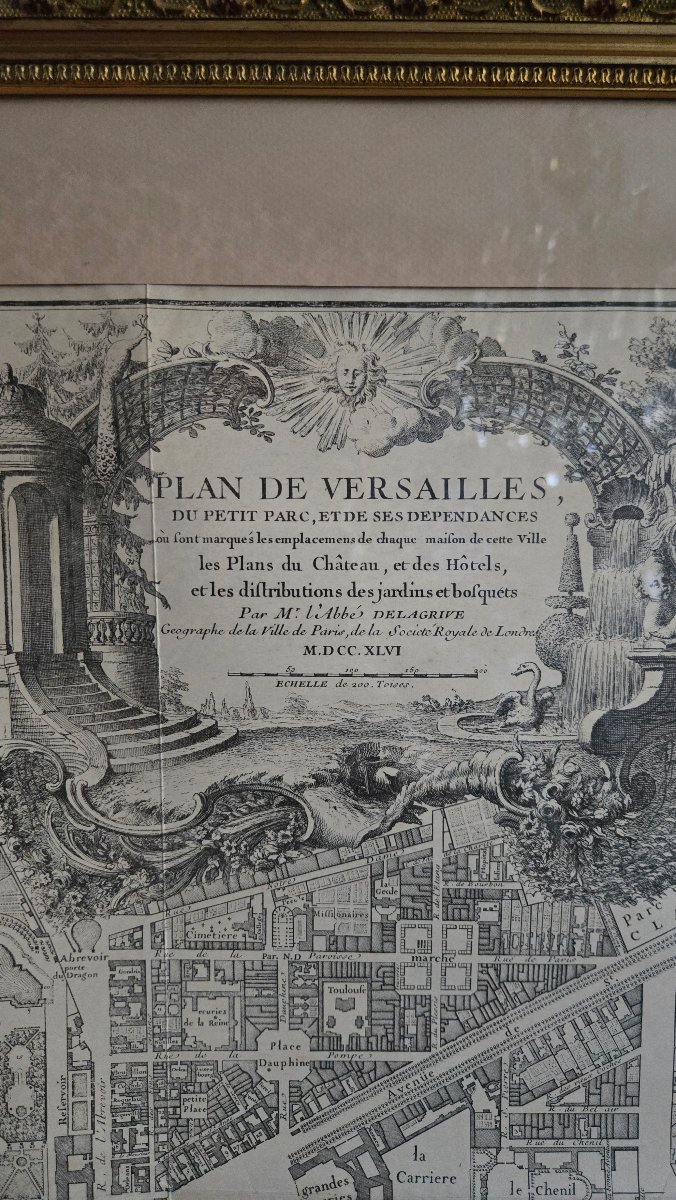
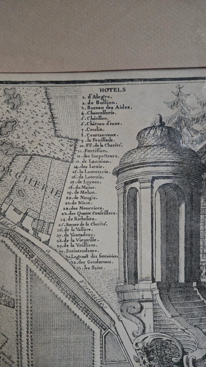
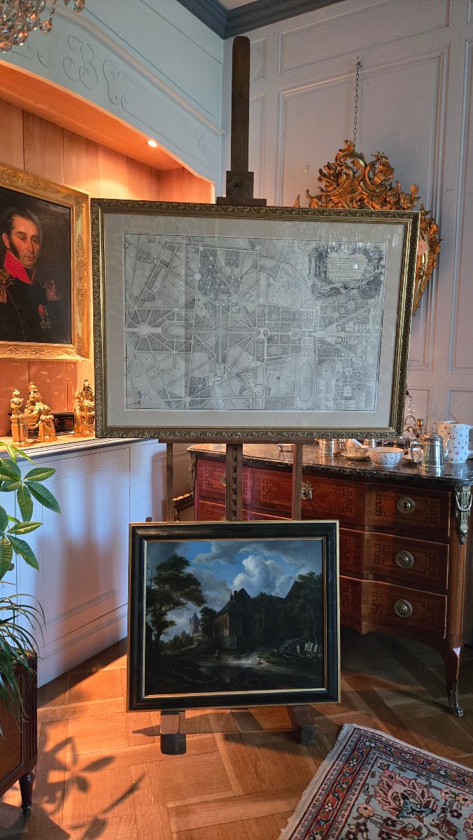
In the upper right corner is a large engraved cartouche, richly composed of architectural elements, trellises, fountains, vegetation, and figures, surmounted by a radiant sun-like face.
It bears the title:
“Map of Versailles, the Petit Parc, and its outbuildings, showing the locations of every house in this town, the plans of the Palace and the mansions, and the layouts of the gardens and groves”
as well as the notation:
“By Abbé Delagrive, Geographer of the City of Paris, of the Royal Society of London”
and the date M.DCC.XLVI, corresponding to 1746, the date of publication of the original map.
Jean Delagrive, geographer of the City of Paris and member of the Royal Society of London, was one of the leading French cartographers of the first half of the 18th century.
The original plate for this map, engraved with etching and a burin, is now preserved at the Chalcography Department of the Louvre Museum. It served as the basis for later reprints; a comparable copy, dated around 1846, is notably held at the Musée du Domaine départemental de Sceaux.
Our copy is an early reprint based on this composition, likely produced in the 19th century.
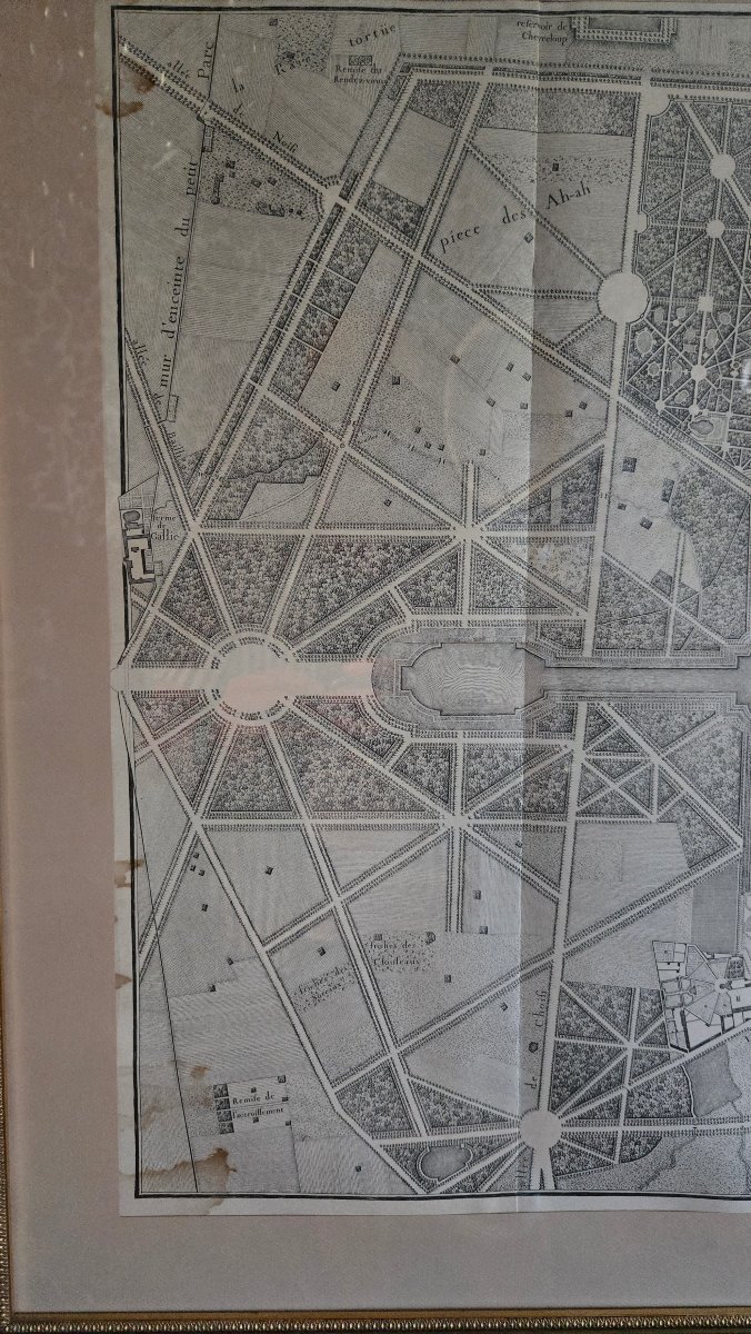
The print retains great finesse, allowing the viewer to appreciate the composition’s numerous topographical, architectural, and landscape details.
A few brownish spots and marks are visible, mainly in the lower left portion of the map.
Mounted under glass in a later frame with a wooden moldings and gilded stucco, showing a few small missing areas.
Dimensions:
Frame: 106.5 × 76.5 cm
Image area: 87 × 57.5 cm
This significant cartographic composition depicts the Palace of Versailles, the town, the Petit Parc, and their outbuildings with great precision.
The palace and its courtyards, the Orangery, the King’s Kitchen Garden, the Grand and Petit Trianon, the Menagerie, the Swiss Guard’s Quarters, the fountains, groves, and various views of the park are depicted, as well as the urban fabric of Versailles, including the layout of streets and squares and the locations of numerous mansions and buildings.
The map also includes a comprehensive list of the statues and vases adorning the gardens, along with the names of their creators, including Girardon, Coysevox, Marsy, Le Hongre, and Tuby, thus providing a particularly detailed account of the layout and decoration of the Versailles estate in the mid-18th century.
In the upper right corner is a large engraved cartouche, richly composed of architectural elements, trellises, fountains, vegetation, and figures, surmounted by a radiant sun-like face.
It bears the title:
“Map of Versailles, the Petit Parc, and its outbuildings, showing the locations of every house in this town, the plans of the Palace and the mansions, and the layouts of the gardens and groves”
as well as the notation:
“By Abbé Delagrive, Geographer of the City of Paris, of the Royal Society of London”
and the date M.DCC.XLVI, corresponding to 1746, the date of publication of the original map.
Jean Delagrive, geographer of the City of Paris and member of the Royal Society of London, was one of the leading French cartographers of the first half of the 18th century.
The original plate for this map, engraved with etching and a burin, is now preserved at the Chalcography Department of the Louvre Museum. It served as the basis for later reprints; a comparable copy, dated around 1846, is notably held at the Musée du Domaine départemental de Sceaux.
Our copy is an early reprint based on this composition, likely produced in the 19th century.
The print retains great finesse, allowing the viewer to appreciate the composition’s numerous topographical, architectural, and landscape details.
A few brownish spots and marks are visible, mainly in the lower left portion of the map.
Mounted under glass in a later frame with a wooden moldings and gilded stucco, showing a few small missing areas.
Dimensions:
Frame: 106.5 × 76.5 cm
Image area: 87 × 57.5 cm
550 €
Period: 19th century
Style: Louis 15th - Transition
Condition: Good condition
Material: Paper
Reference (ID): 1818655
Availability: In stock
Print