

Antique Map Of Alsace
Artist: Coronelli
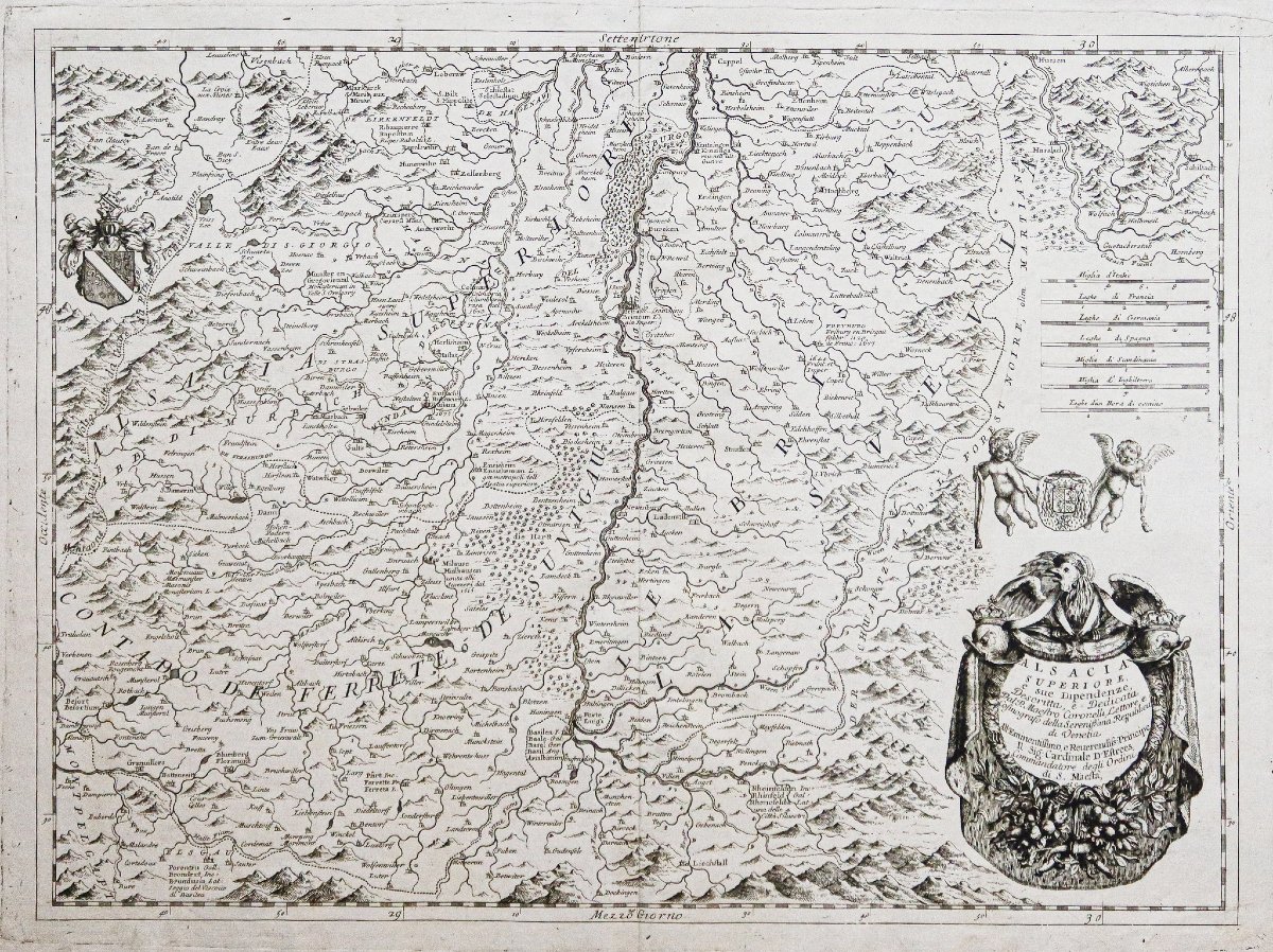
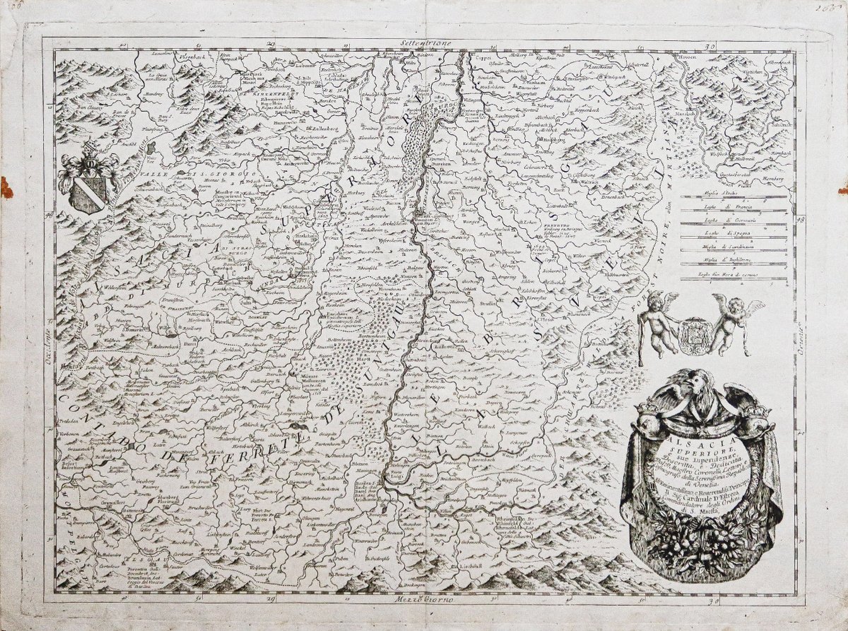
Original print made around 1690. Cartographer: Coronelli.
A 1 cm x 5 cm paper patch in the upper left corner of the margin, away from the map.
Two areas of discoloration in the side margins.
Good condition.
Sheet size: 67.5 x 51 cm.
Engraving size: 63.5 x 47 cm.
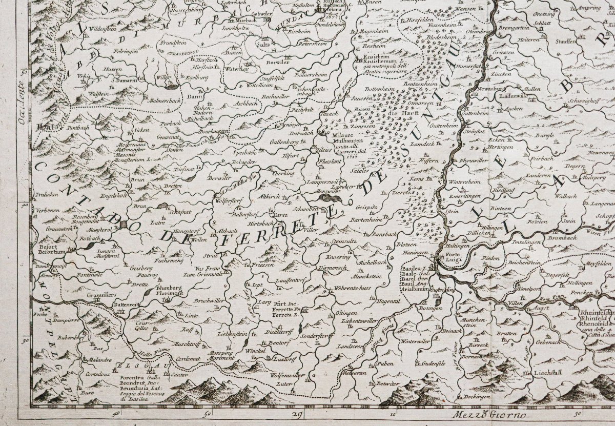
Antique original map from around 1690.
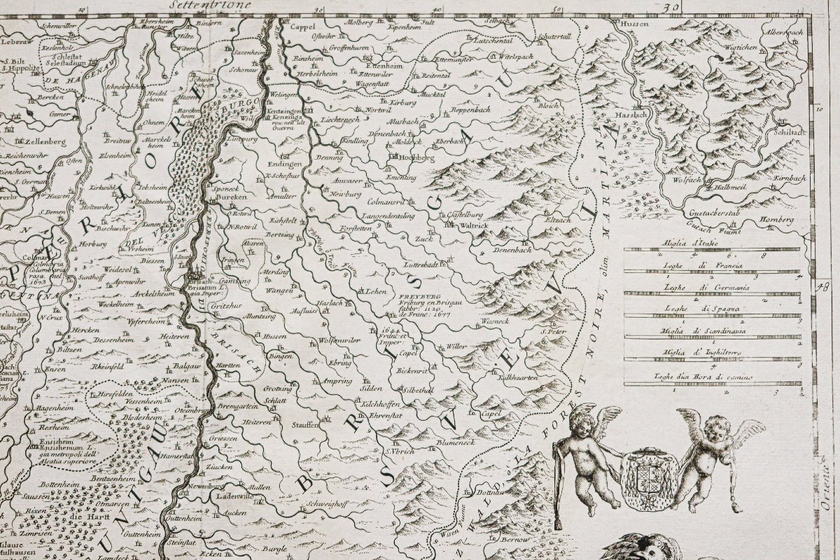
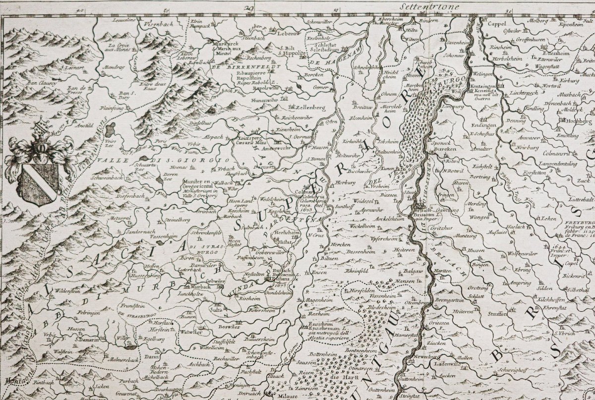
Beautiful original map by Coronelli, personal cartographer to Louis XIV.
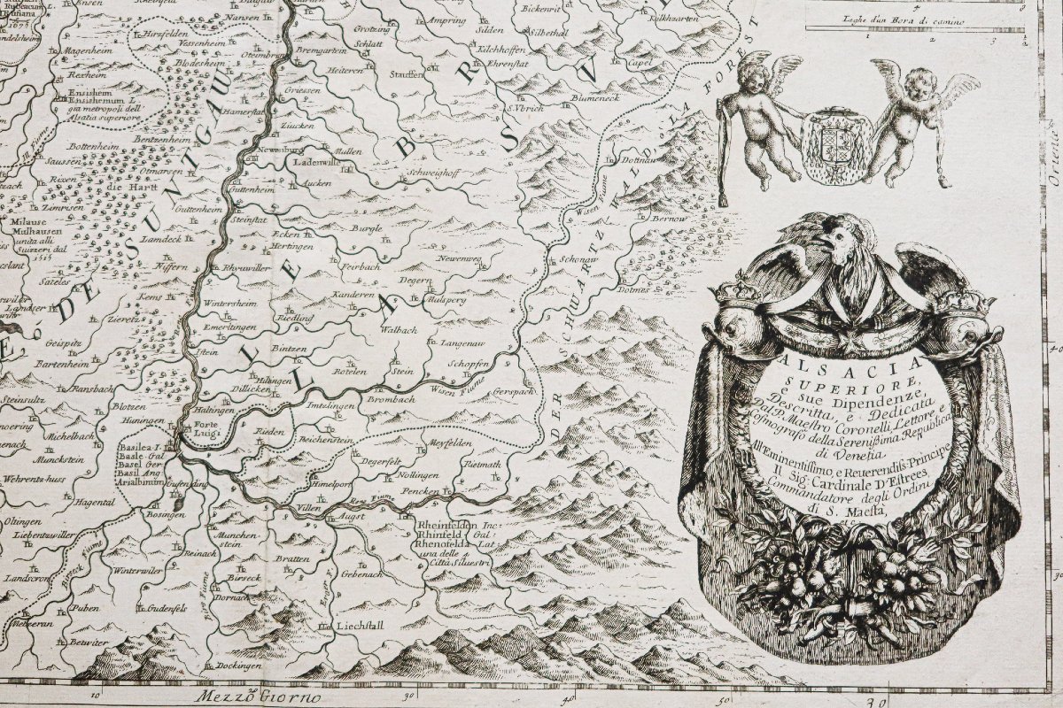
The map is embellished with a large title cartouche, perfectly etched.
Two cherubs bear the coat of arms of Alsace. Scale of the map.
Youcan view allthe maps, books, and engravings available for your region by clicking on thelink on our website specializing in historicalgeographic archives: https://cartes-livres-anciens.com/categorie-produit/cartes-geographiques-anciennes-original-antique-maps/france/alsace-lorraine/
Secure payment by creditcard on our website by clicking the link below: https://cartes-livres-anciens.com/produit/cartes-geographiques-anciennes-original-antique-maps/france/alsace-lorraine/carte-geographique-ancienne-de-lalsace-5/
Allof our maps and engravings come with a certificate of authenticity.
CORONELLI Vincenzo Mario: (1650–1718), famous Italian cartographer, founder of the Argonauti Cosmographic Academy (1680).
As cartographer to Louis XIV, he skillfully distinguished his work from existing 17th-century maps.
The maps are of exceptional clarity, printed on splendid rag paper; the lines are crisp. He was the only cartographer to fully utilize the potential of etching and ultimately make geography “artistic.”
A 1 cm x 5 cm paper patch in the upper left corner of the margin, away from the map.
Two areas of discoloration in the side margins.
Good condition.
Sheet size: 67.5 x 51 cm.
Engraving size: 63.5 x 47 cm.
Antique original map from around 1690.
Beautiful original map by Coronelli, personal cartographer to Louis XIV.
The map is embellished with a large title cartouche, perfectly etched.
Two cherubs bear the coat of arms of Alsace. Scale of the map.
Youcan view allthe maps, books, and engravings available for your region by clicking on thelink on our website specializing in historicalgeographic archives: https://cartes-livres-anciens.com/categorie-produit/cartes-geographiques-anciennes-original-antique-maps/france/alsace-lorraine/
Secure payment by creditcard on our website by clicking the link below: https://cartes-livres-anciens.com/produit/cartes-geographiques-anciennes-original-antique-maps/france/alsace-lorraine/carte-geographique-ancienne-de-lalsace-5/
Allof our maps and engravings come with a certificate of authenticity.
CORONELLI Vincenzo Mario: (1650–1718), famous Italian cartographer, founder of the Argonauti Cosmographic Academy (1680).
As cartographer to Louis XIV, he skillfully distinguished his work from existing 17th-century maps.
The maps are of exceptional clarity, printed on splendid rag paper; the lines are crisp. He was the only cartographer to fully utilize the potential of etching and ultimately make geography “artistic.”
300 €
Period: 17th century
Style: Other Style
Condition: Good condition
Material: Paper
Reference (ID): 1817139
Availability: In stock
Print