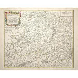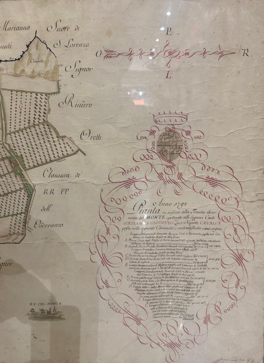


Ancient Cabreo, Watercolored Manuscript Map 1792 Tenuta Del Monte, Bologna, With Heraldic Coat
Artist: Angelo Trebbi
An important CABREO, a manuscript map dated 1792, depicting the "TENUTA DEL MONTE" (ESTATE OF MONTE) with a division of land, crops, and ownership. It was hand-drawn in ink and watercolors by surveyor ANGELO TREBBI, featuring elegant calligraphic decoration and a coat of arms. The composition combines technical precision and artistic taste, with a refined representation of the land, crops, paths, and buildings. 100 x 65 cm.
The CABREO is framed and under glass; any reflections are due to the glass.
CABREOs are maps, inventories of movable and immovable property, rights, and easements, commissioned by noble families, ecclesiastical institutions, and public bodies, partly to clarify the boundaries of their holdings and their legal relationships with others (neighbors, heirs, institutions), and partly to prevent the dispersion and usurpation of the inventoried assets. The creation of the Cabrei was entrusted to land surveyors (master builders, architects, and then, from the 18th century, also surveyors), who were responsible for precisely recording the boundaries of each property and the extent of each property. They had to be updated every 25 years and filed in the archives according to the statutes of the Priory of Jerusalem, as attested in Domenico Magri's book "Notizia de' vocaboli ecclesiastici e de riti sacri" (Notice of Ecclesiastical Vocabulary and Sacred Rites) of 1669 and in the order's statutes of 1675 and 1719. Today, the Cabrei constitute one of the most extensive and homogeneous archival series available for documenting the evolution of the urban and rural landscape and for studying the history of the area.
1 900 €
Period: 18th century
Style: Other Style
Condition: Good condition
Material: Paper
Width: 100
Height: 65
Reference (ID): 1729778
Availability: In stock
Print