THIS OBJECT WAS SOLD
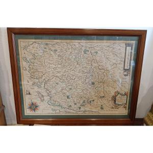
17th Century Nautical Chart Of The Van Keulen Channel, St Malo, Mont St Michel, Channel Islands,

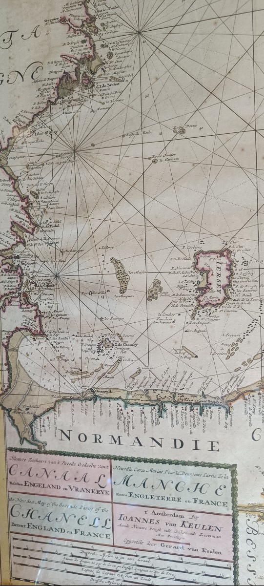
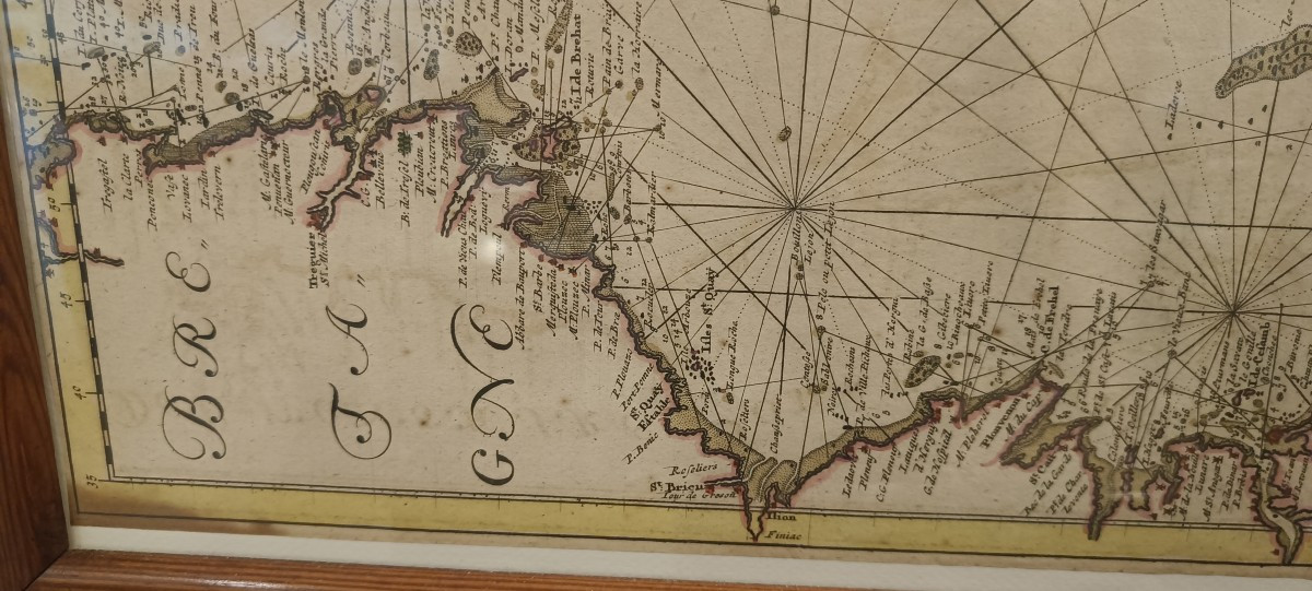
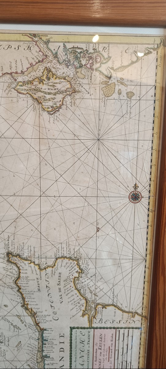
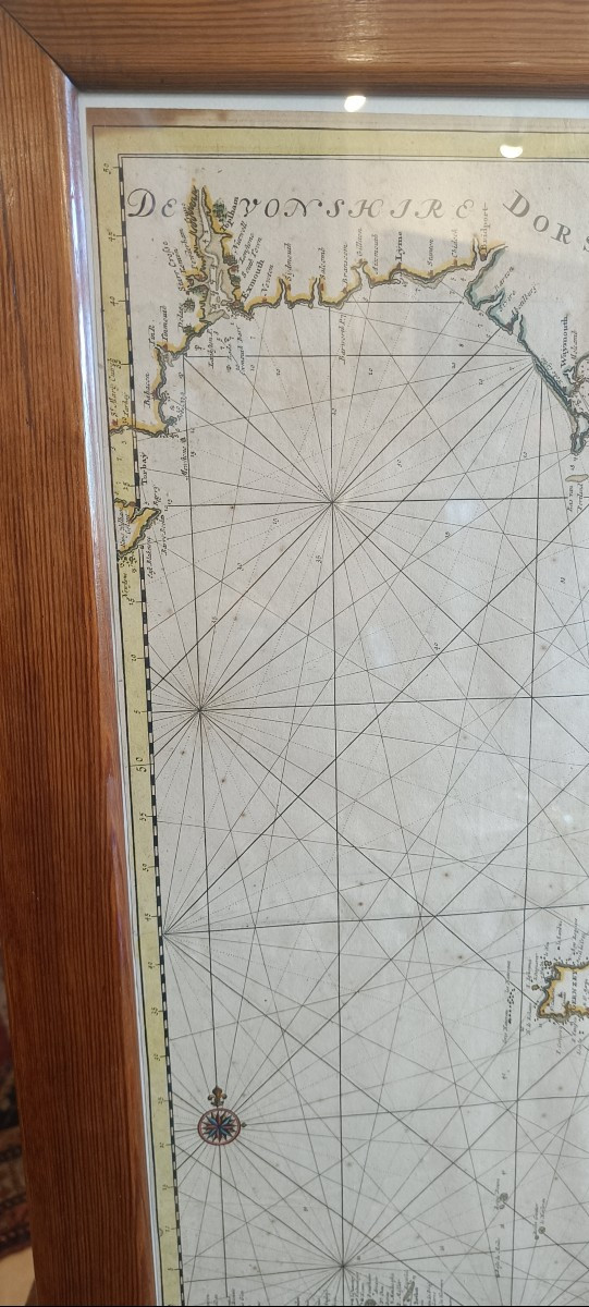
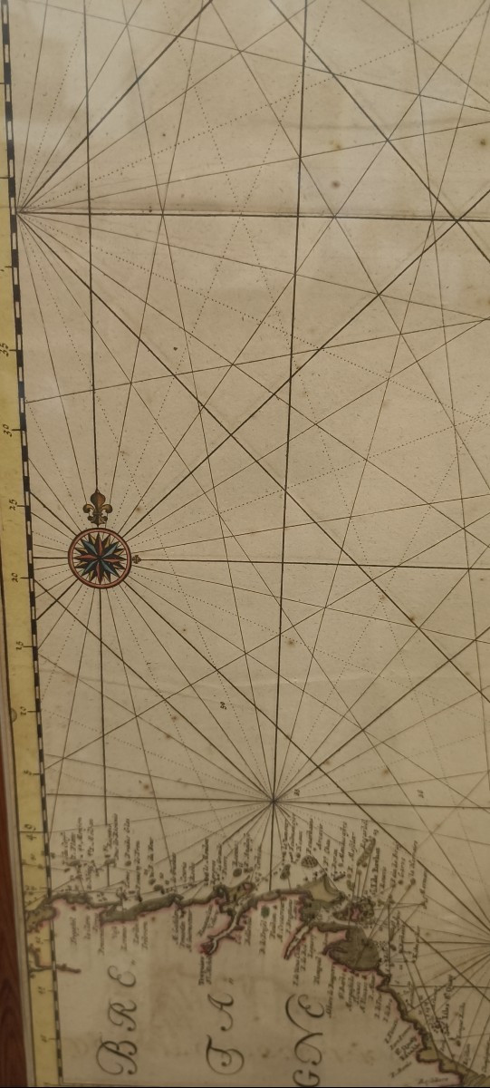
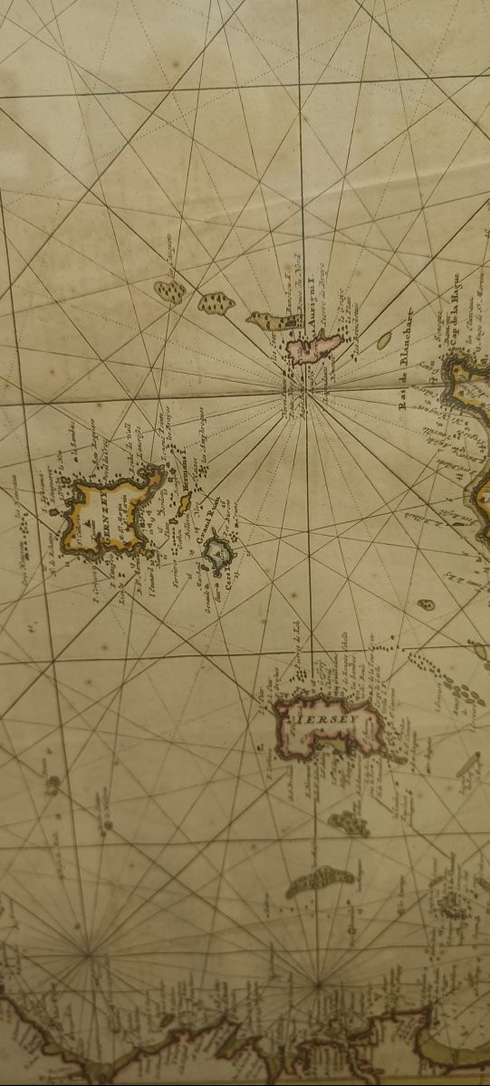

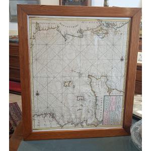


Large nautical chart "for the second part of the English Channel between England and France" circa 1680 by Van Keulen with: The French coasts of Normandy (Cotentin and Bessin) and northern Brittany (Ille-et-Vilaine and Côtes-d'Armor) with St-Malo, Mont St Michel, the island of Bréhat, Cherbourg. The Channel Islands The English coasts of Devonshire, Dorsetshire and Hampshire. Large cartouche in French, English and Dutch and two compass roses. Beautiful pitch pine frame 73.5 cm x 62.5 cm
Explore similar pieces and discover your ideal find:
Old Maps