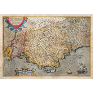
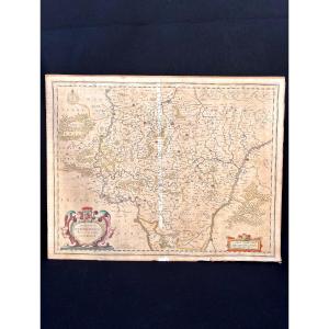
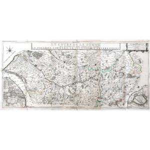
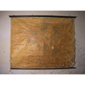
Covered Geographical Map, From 1700-kingdom Of France
Covered and folded like a current road map, most certainly to be carried at the time in luggage: Geographical map dated 1700. Dimensions: 63.5 cm x 48.5 cm. Good condition, the stains on the canvas do not appear on the printed side. Shipping extra, 9€ registered for France, thank you.
150 €
Period: 17th century
Style: Other Style
Condition: Good condition
Material: Paper
Reference (ID): 1045203
Availability: In stock
Print