



Historical Map Of Paris
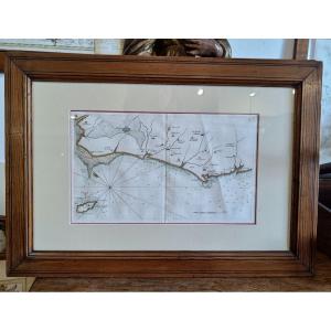
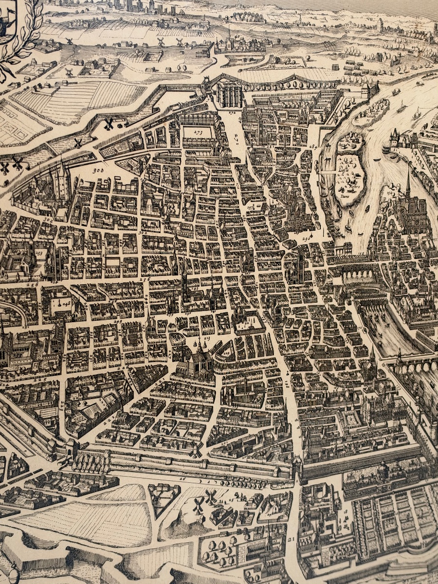
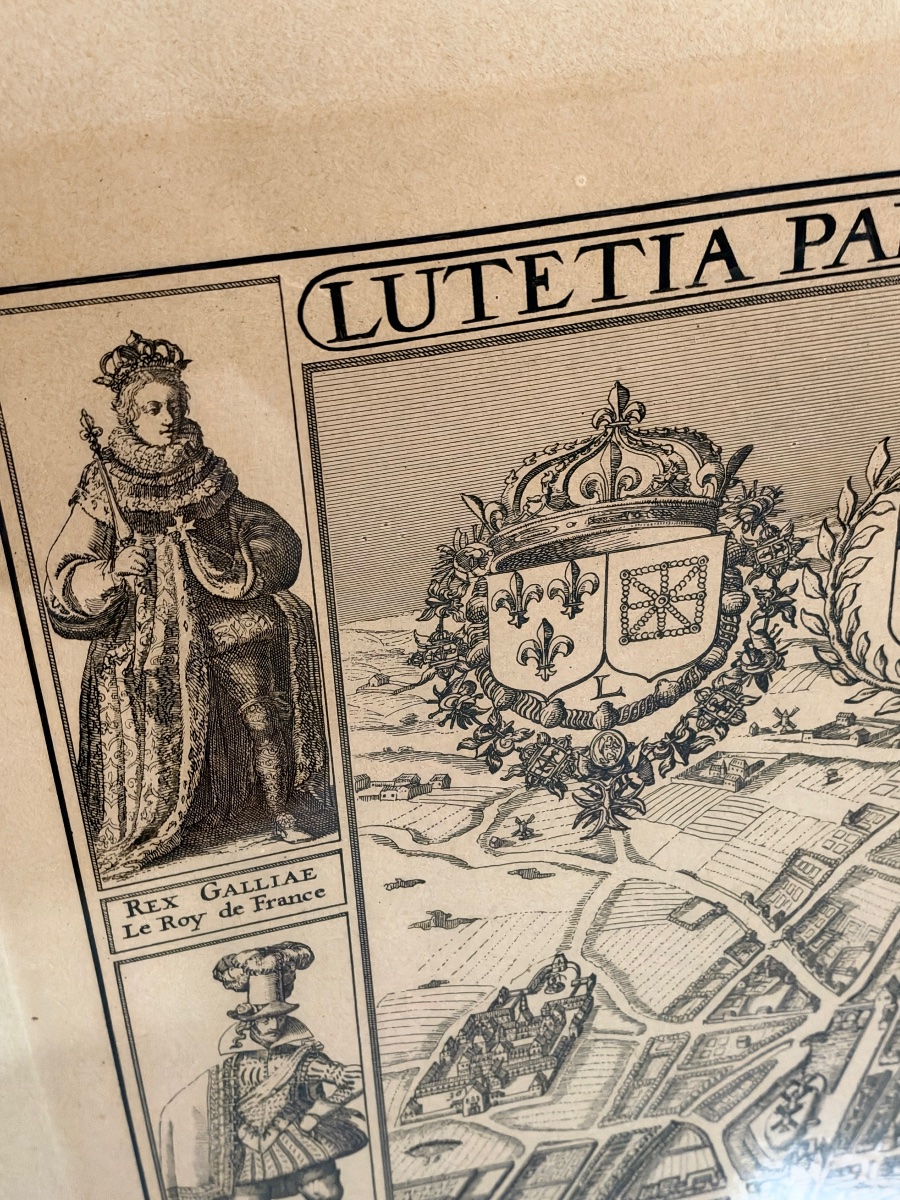
A large, framed historical map of Paris, based on the original 1618 engraving by the Dutch cartographer Claes Jansz. Visscher (1586–1652).
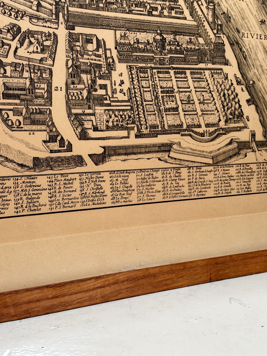
This detailed bird’s-eye view map depicts Paris in the early 17th century, showing the Seine, bridges, churches, streets, and the surrounding landscape. It is richly decorated with royal coats of arms, figures representing different social classes, and a detailed legend identifying important buildings and landmarks.
Framed in a wooden frame with a warm, natural finish. Mid-20th century.
Dimensions: 99 W x 69 H x 1 D
This detailed bird’s-eye view map depicts Paris in the early 17th century, showing the Seine, bridges, churches, streets, and the surrounding landscape. It is richly decorated with royal coats of arms, figures representing different social classes, and a detailed legend identifying important buildings and landmarks.
Framed in a wooden frame with a warm, natural finish. Mid-20th century.
Dimensions: 99 W x 69 H x 1 D
600 €
Period: 20th century
Style: Other Style
Condition: Good condition
Material: Paper
Length: 99
Height: 69
Depth: 1
Reference (ID): 1847374
Availability: In stock
Print