

A 17th-century Watercolor Map Of The Ilde Region Of France By Willem Blaeu, Circa 1635, Framed
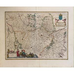
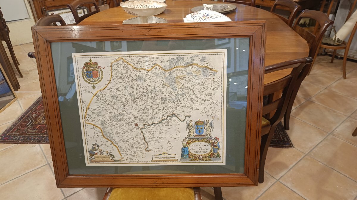
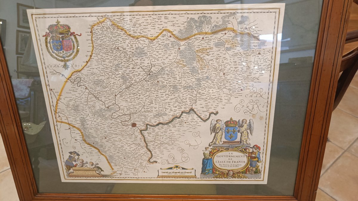
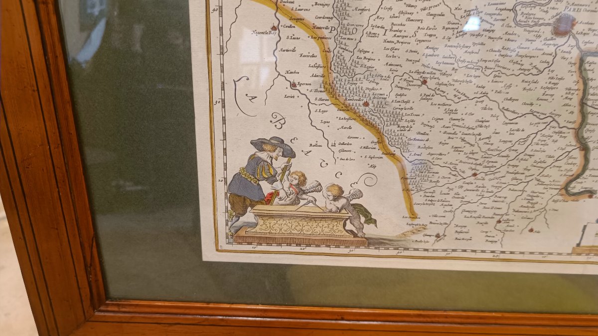
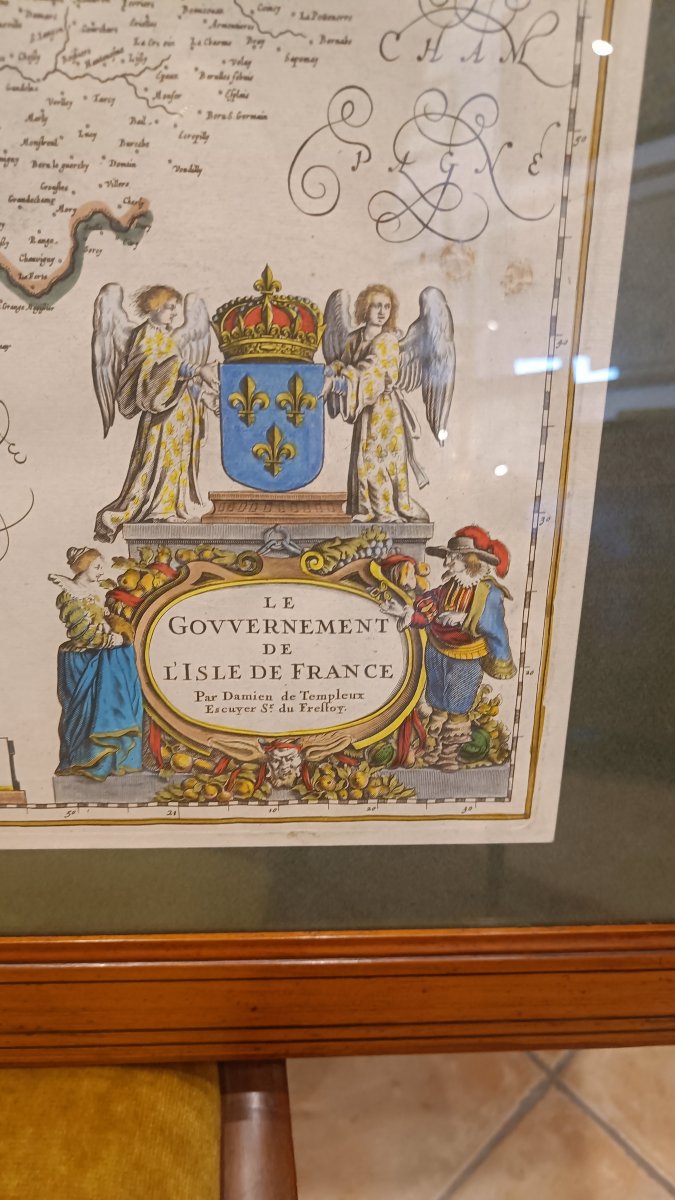
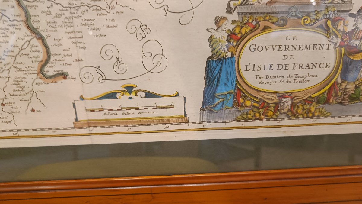
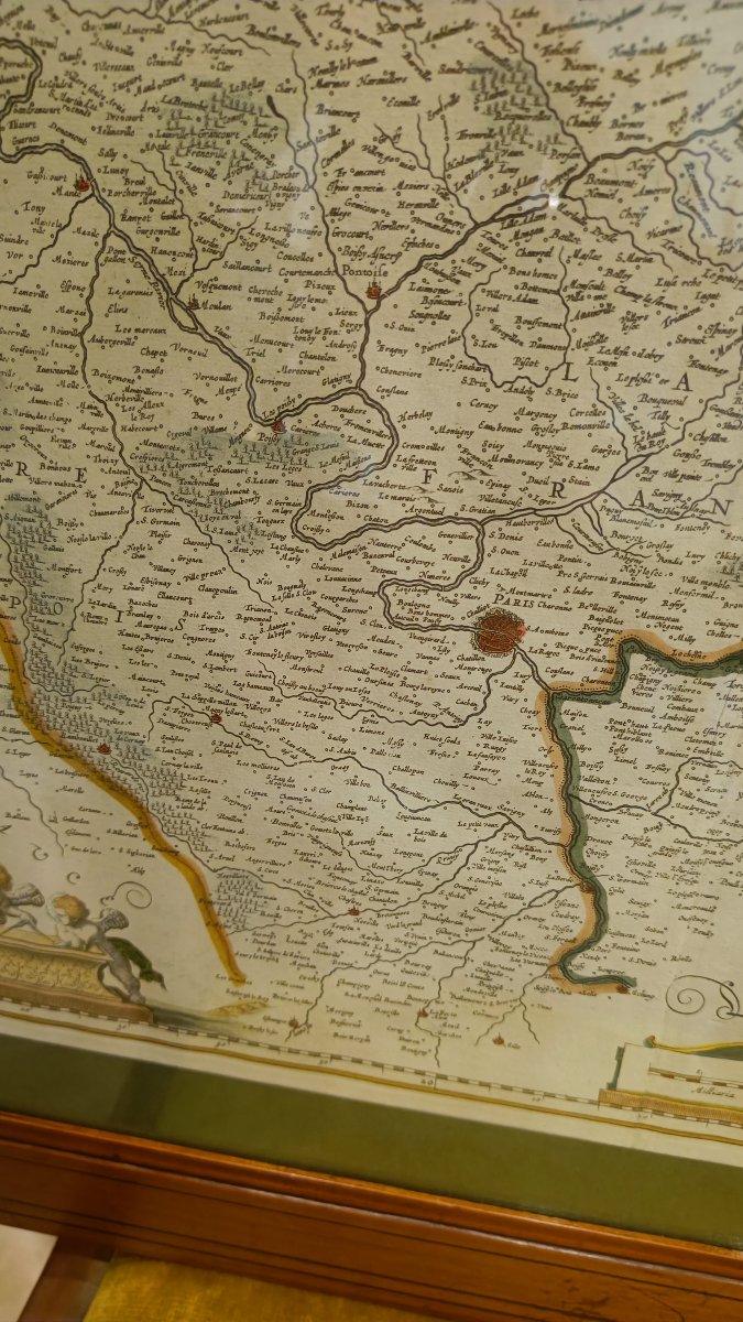
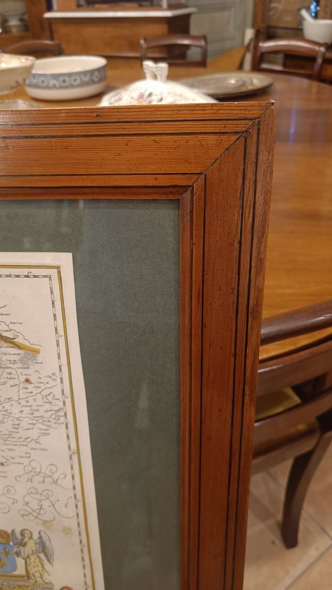
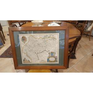
A 17th-century watercolor map depicting the Île-de-France, titled "Le Gouvernement de l'Isle de France, by Damien de Templeux, squire to Mr. du Frestoy," engraved by the Dutch cartographer Willem Blaeu around 1635.
It depicts the former historical province of Île-de-France, stretching from Laon to Dreux and from Estampes to Beauvais.
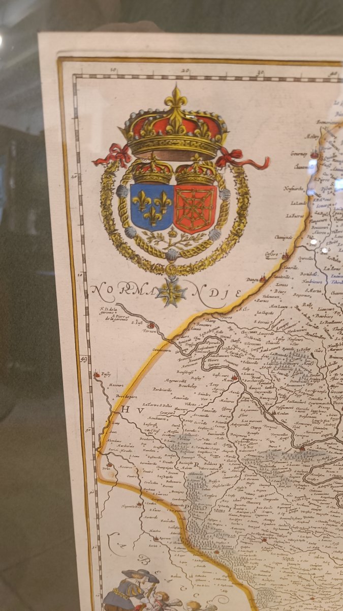
Three beautiful decorative cartouches featuring royal coats of arms and angels.
19th-century pitchpine frame, 77.5 cm x 60.5 cm
It depicts the former historical province of Île-de-France, stretching from Laon to Dreux and from Estampes to Beauvais.
Three beautiful decorative cartouches featuring royal coats of arms and angels.
19th-century pitchpine frame, 77.5 cm x 60.5 cm
550 €
Period: 17th century
Style: Other Style
Condition: Excellent condition
Material: Paper
Width: 53 cm
Height: 43 cm
Reference (ID): 1810827
Availability: In stock
Print