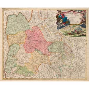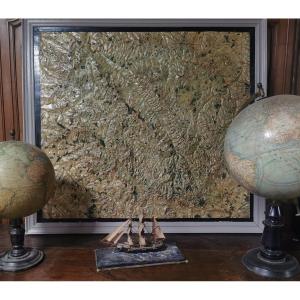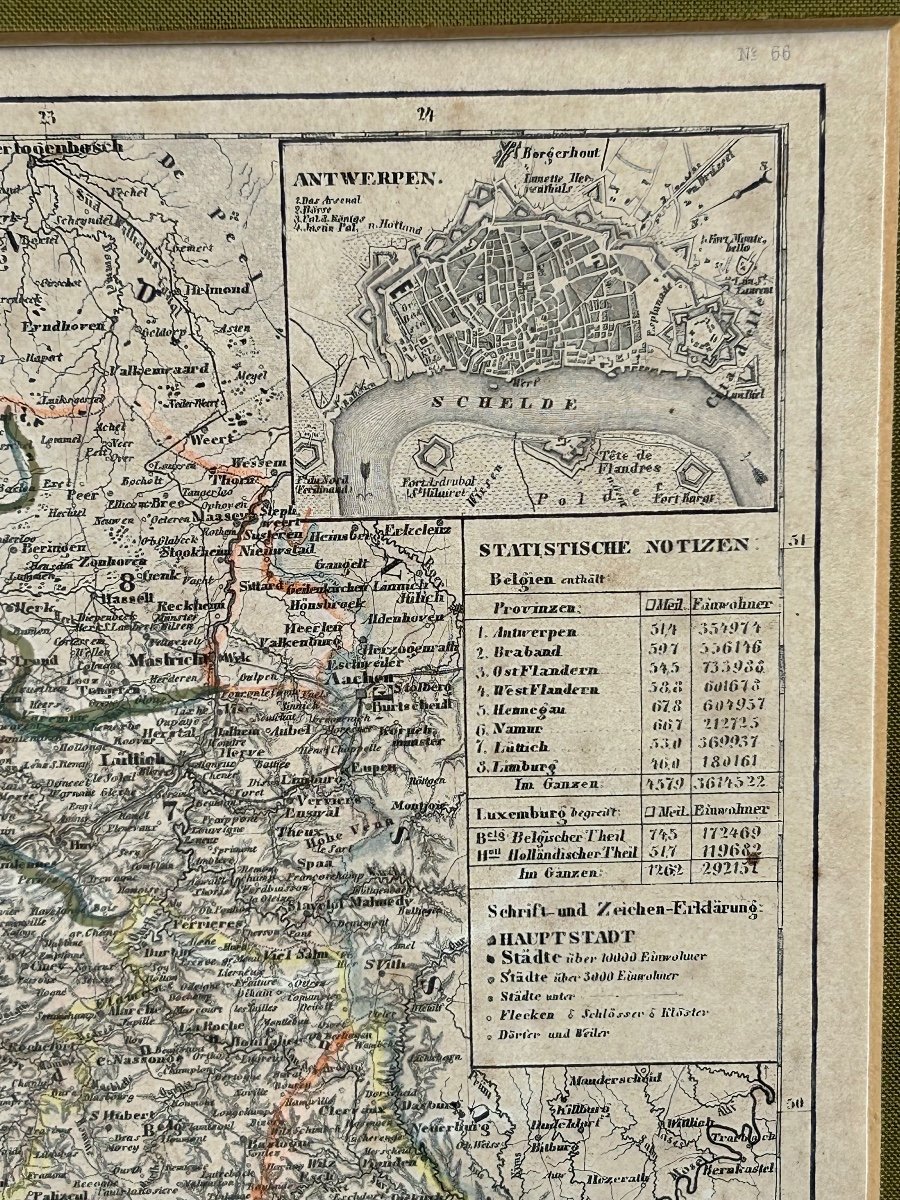
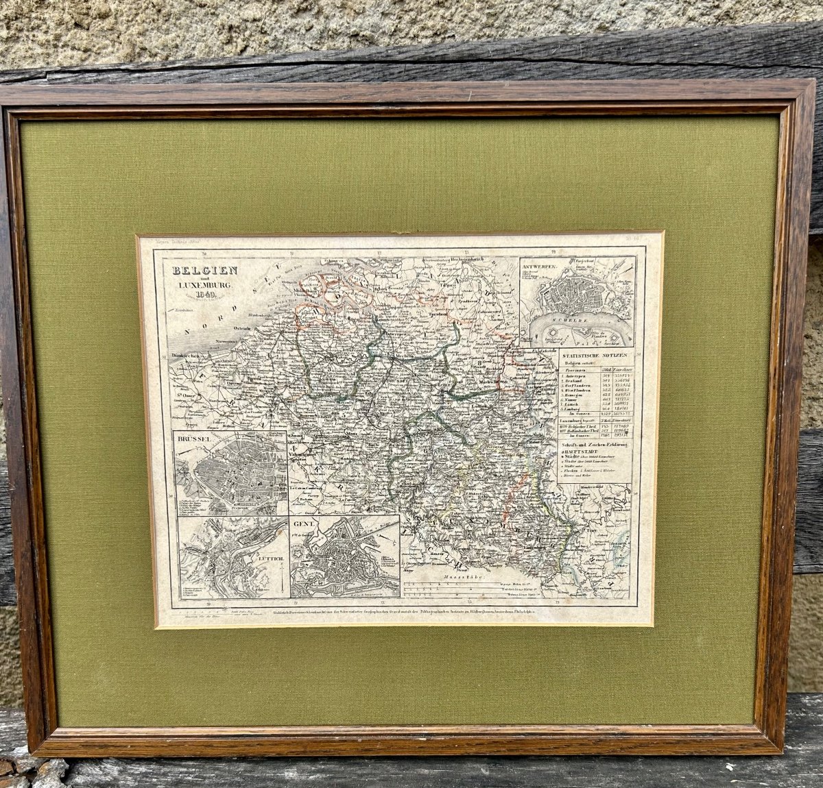

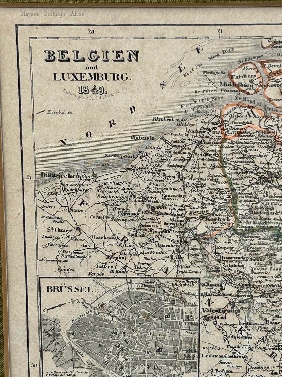
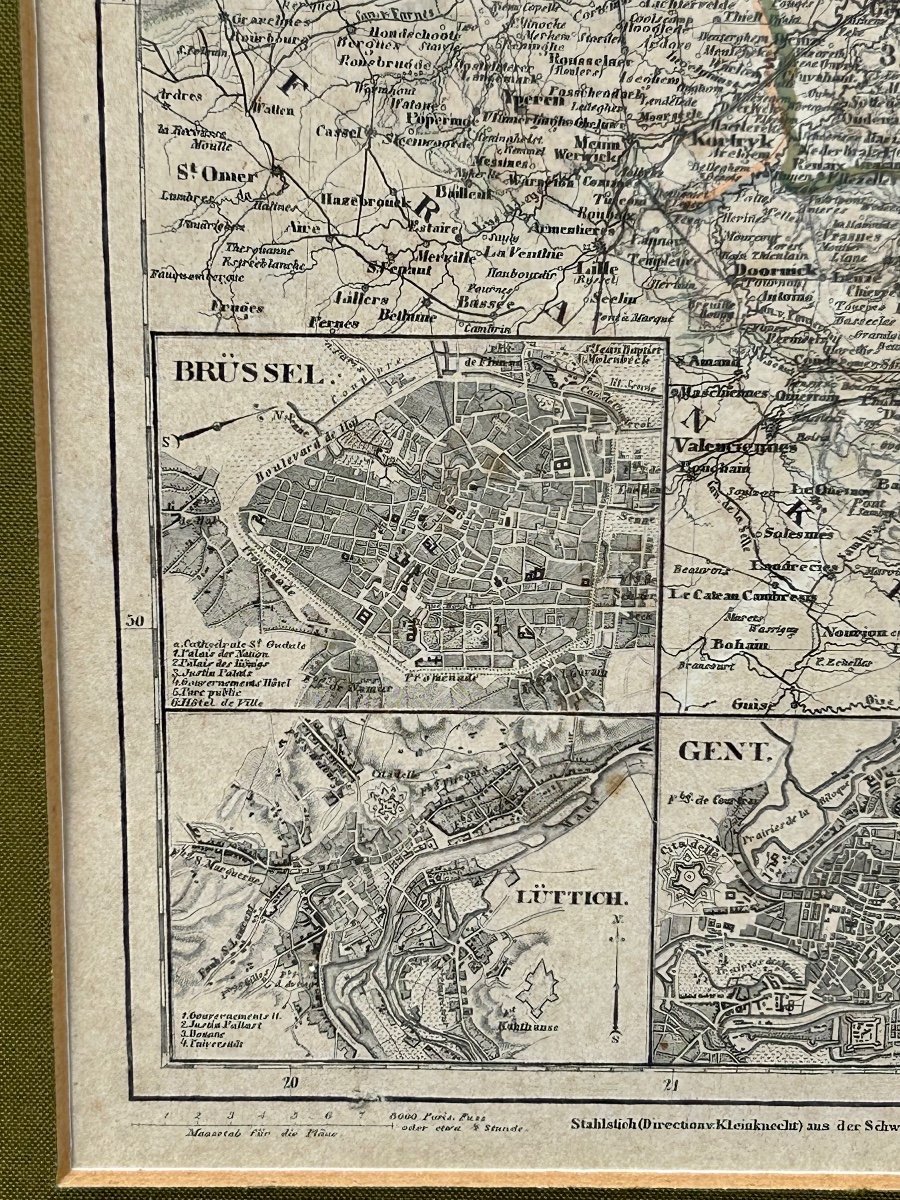
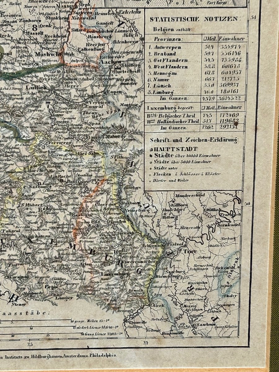

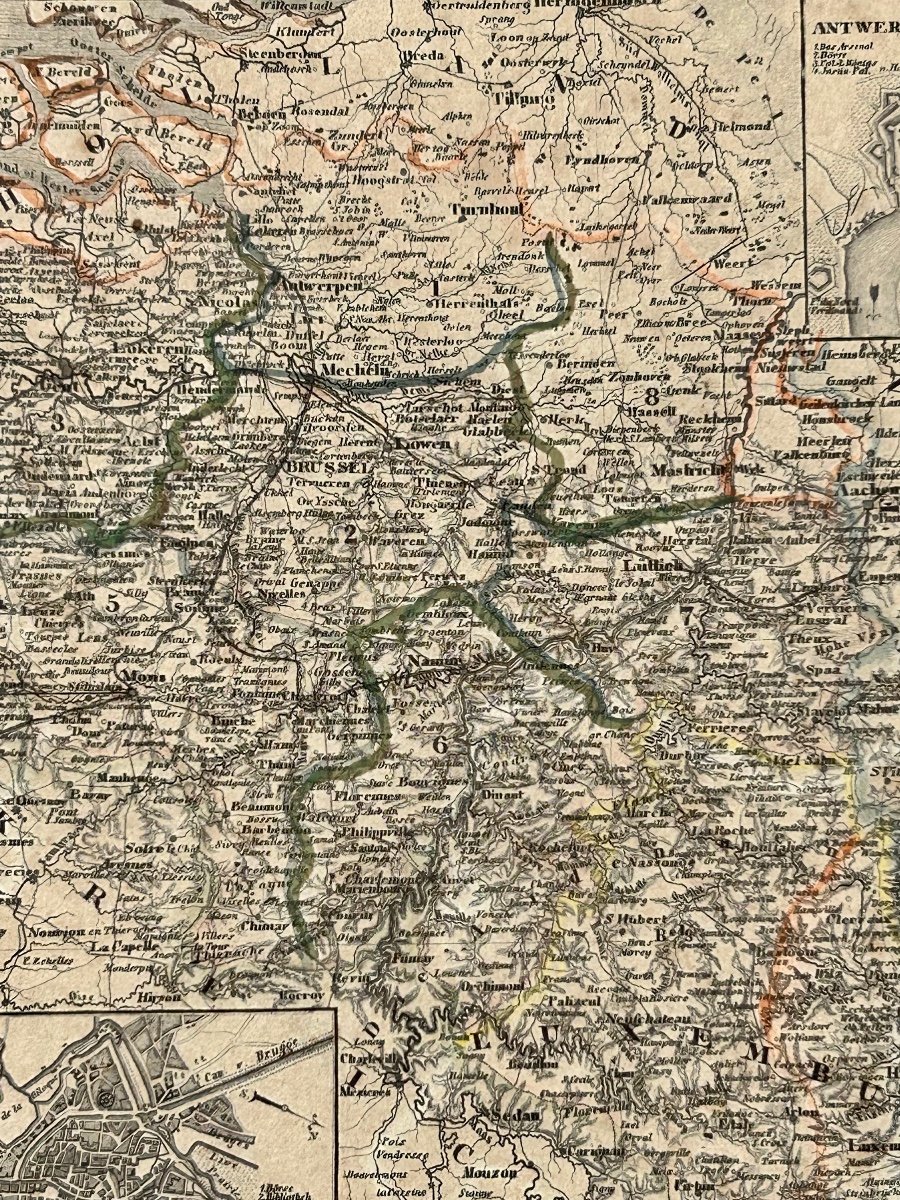
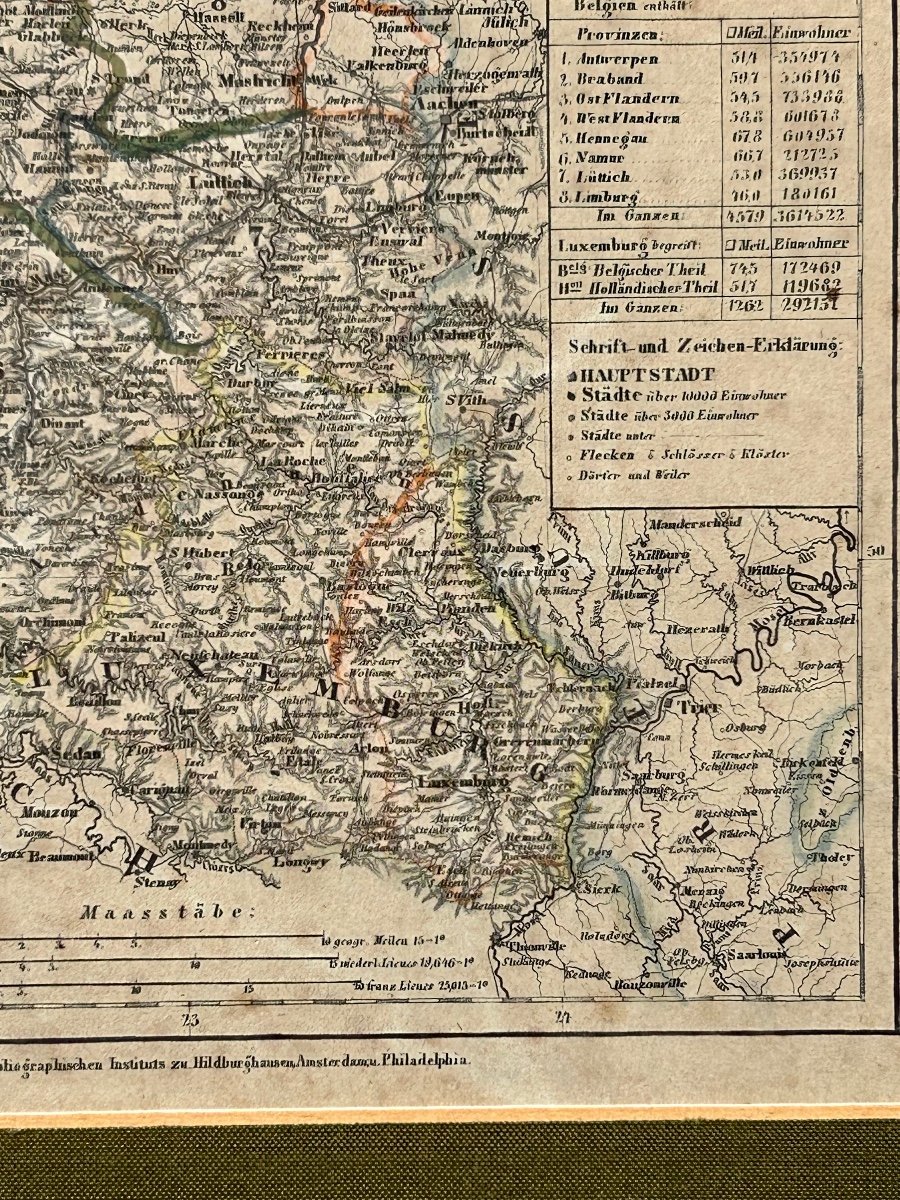


Map Belgium Luxembourg 1849
Historical collection. Map of Belgium and Luxembourg dating from 1849 Free frame
Height: 35cm (25cm without frame)
Width: 40cm (31cm without frame)
As is
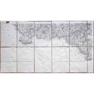
Same map available in 83x83cm
Height: 35cm (25cm without frame)
Width: 40cm (31cm without frame)
As is
Same map available in 83x83cm
140 €
Period: 19th century
Style: Other Style
Condition: En l'etat
Material: Paper
Width: 45cm (31cm sans cadre)
Height: 35cm (25cm sans cadre)
Reference (ID): 1160223
Availability: In stock
Print