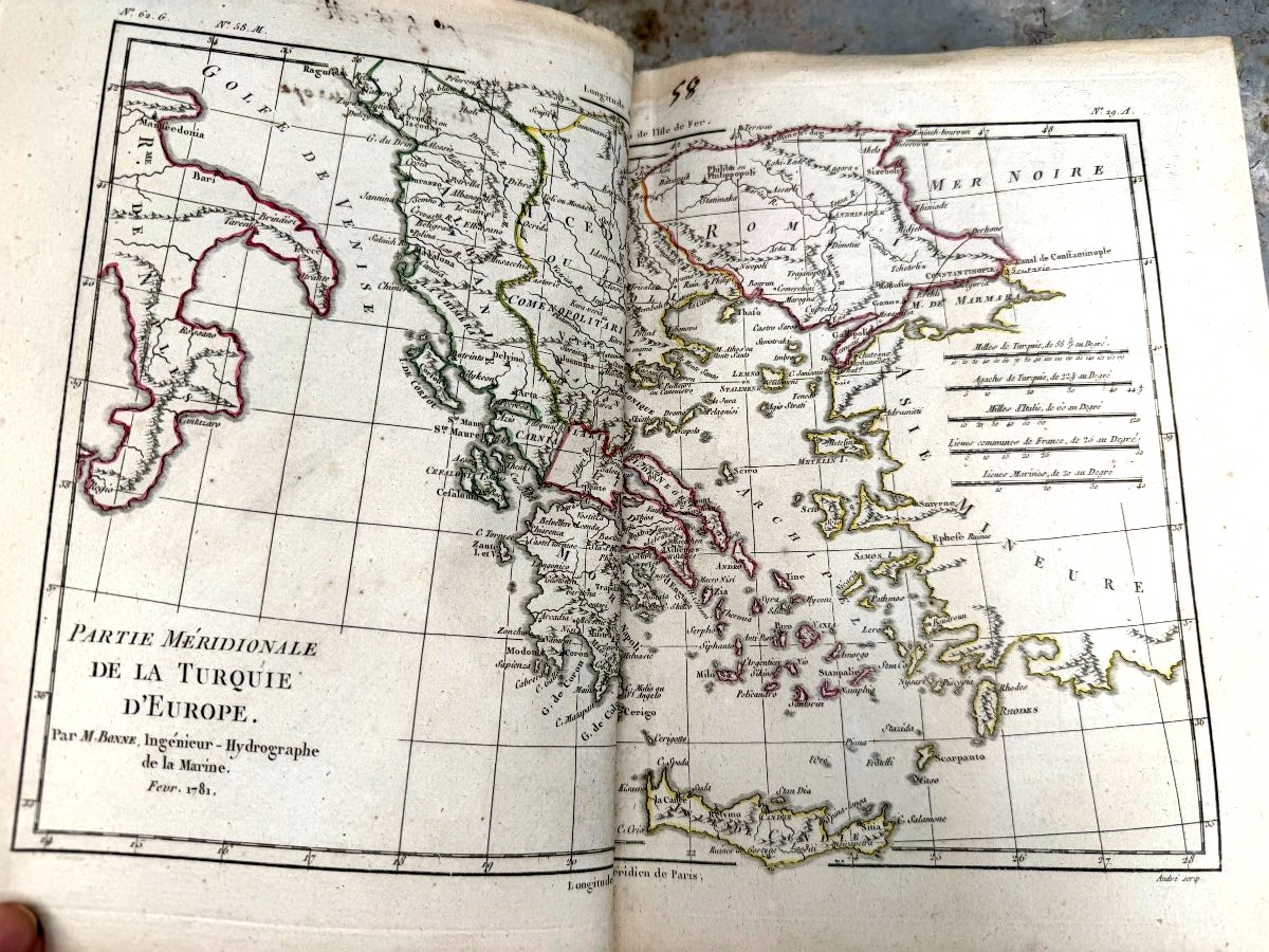
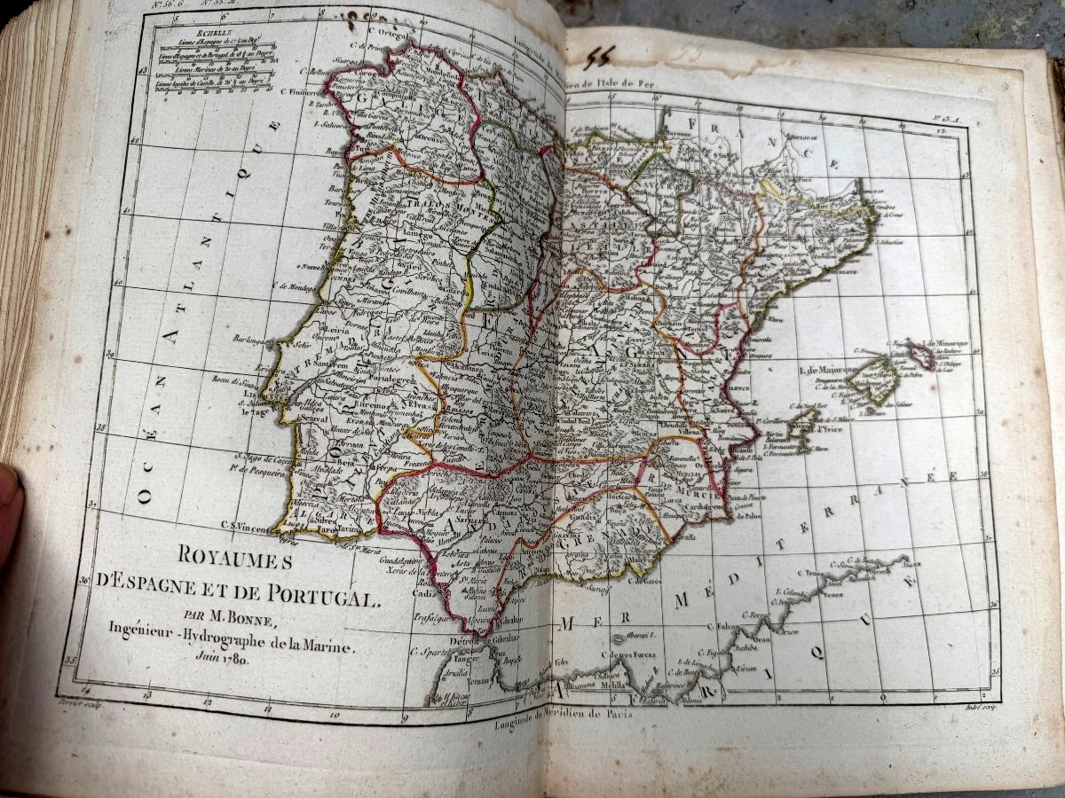
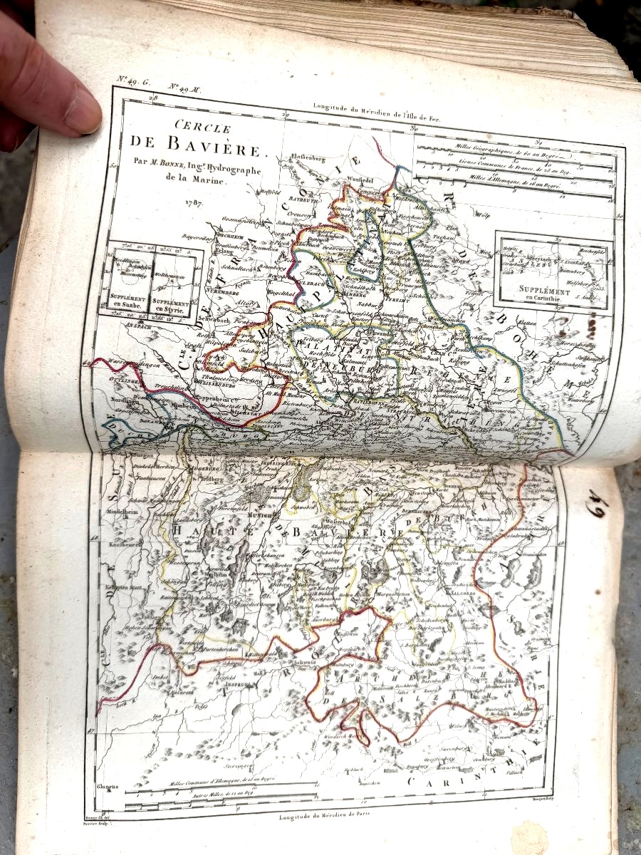
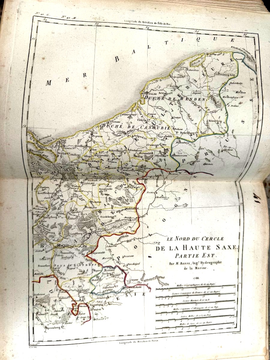
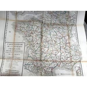


A Remarkable Set Of 60 Colorful Fold-out Maps From 1780 To 1790 By M. Bonne, Vol. I, In4
Artist: M. Bonne
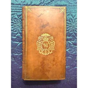
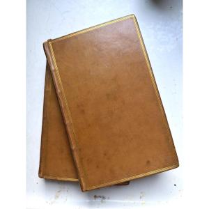
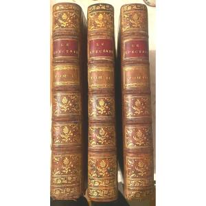
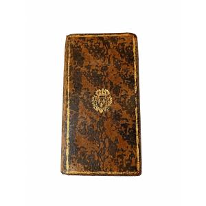
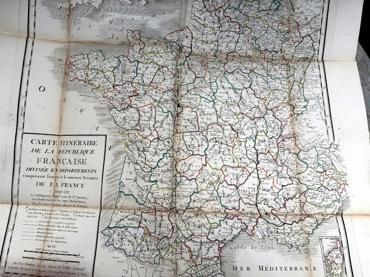
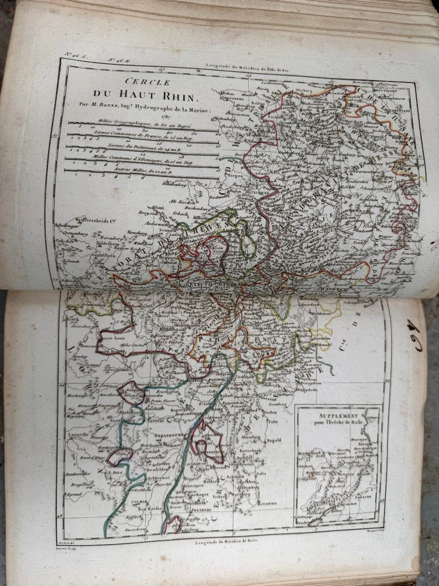
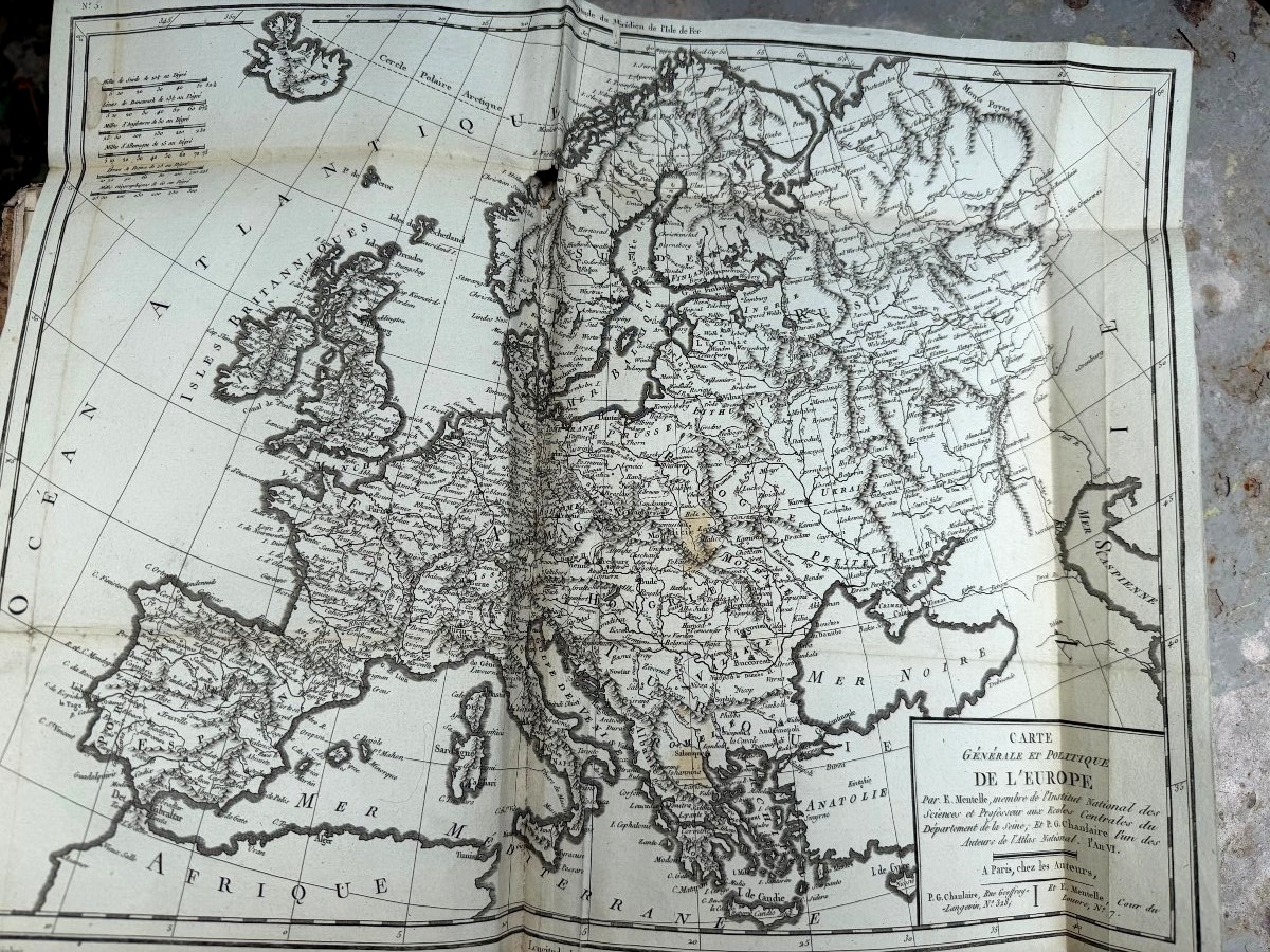
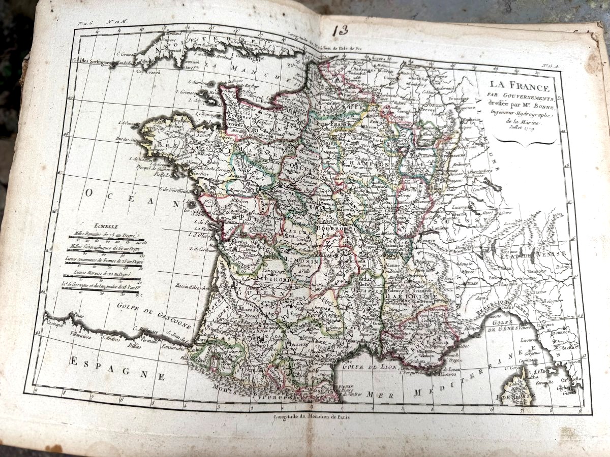
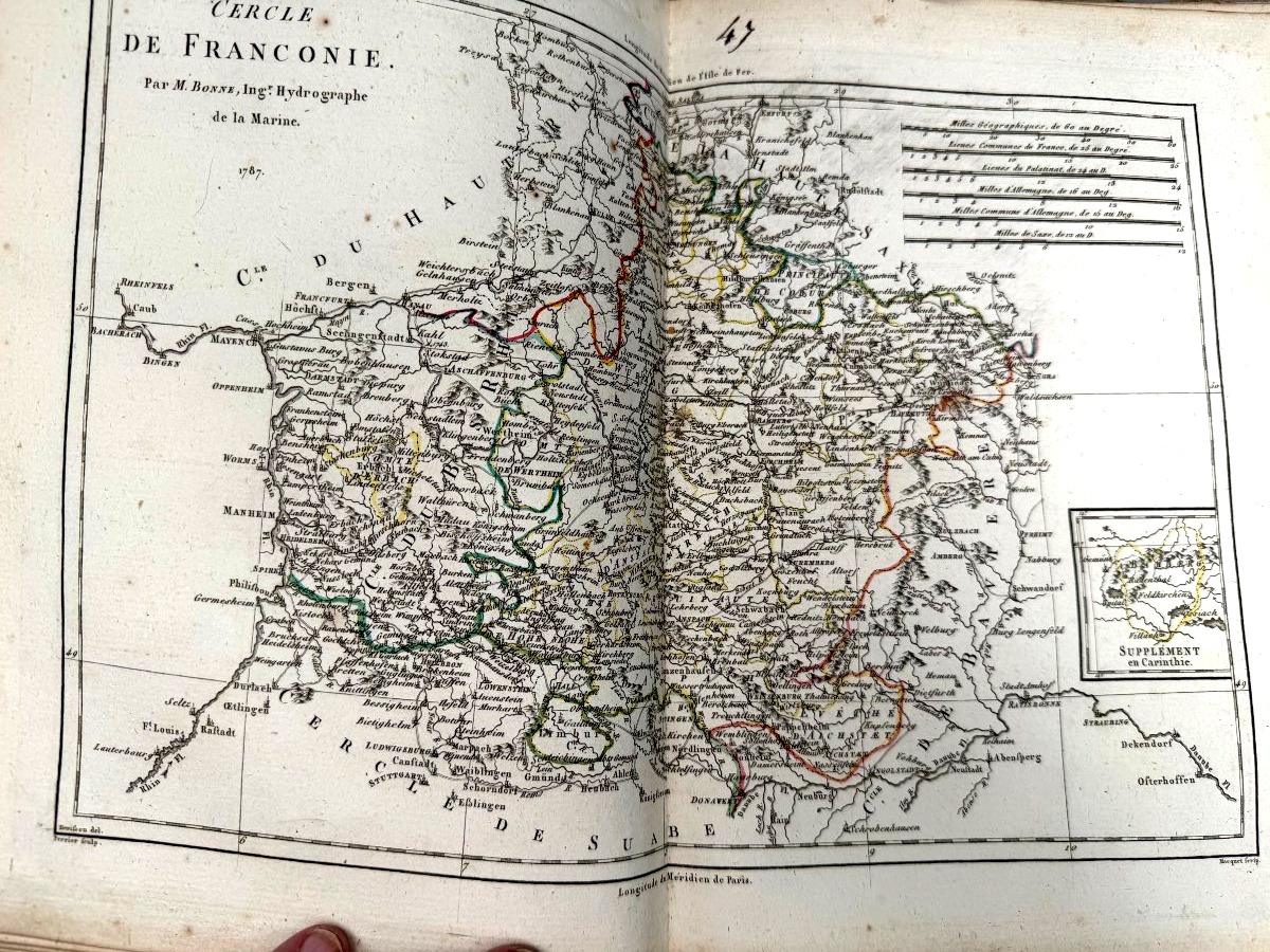
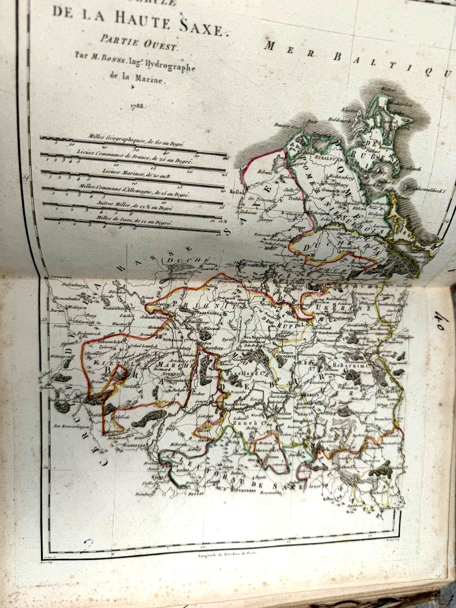
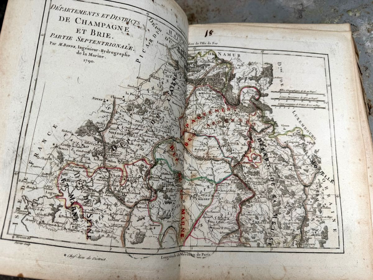
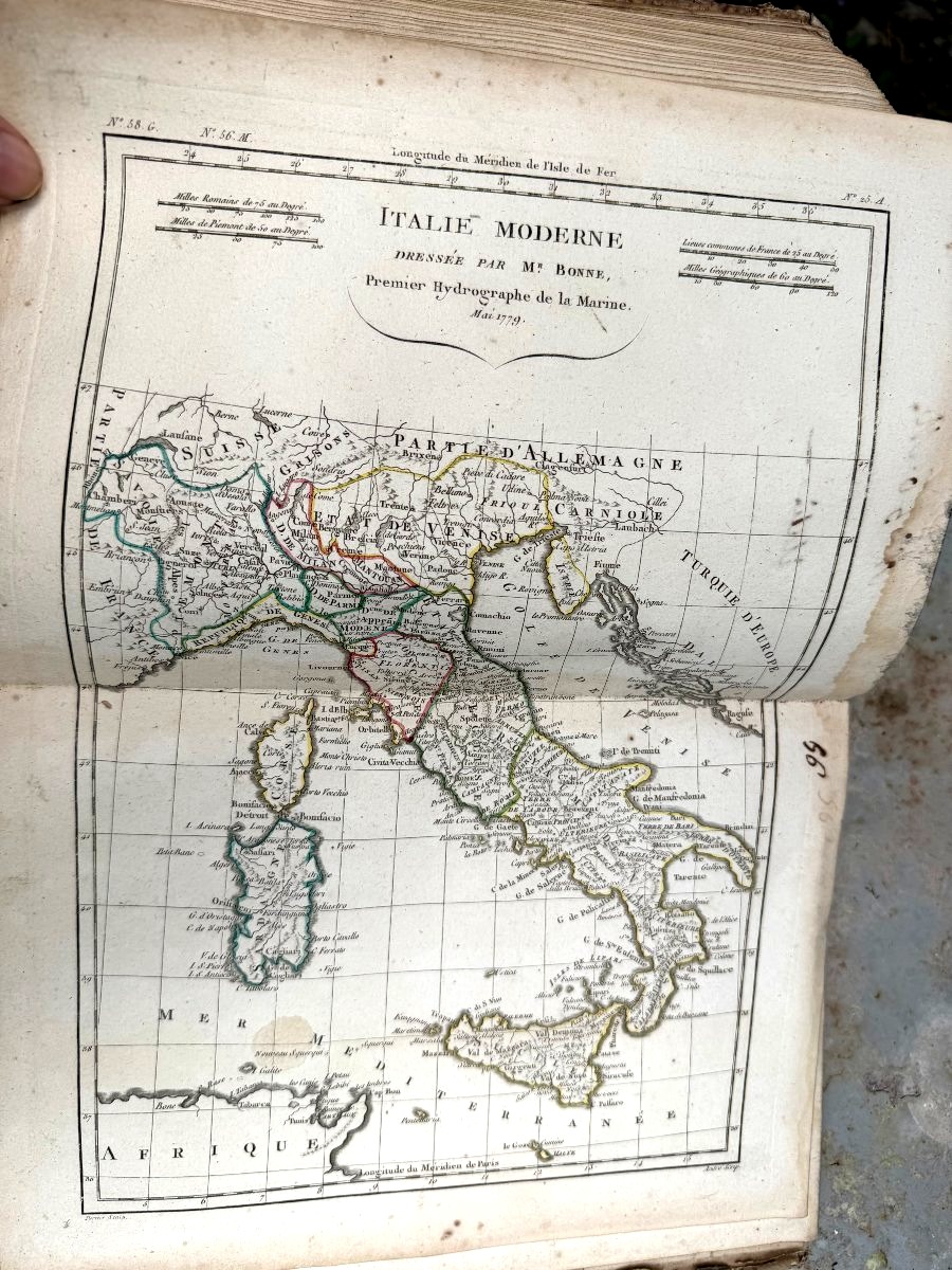
A beautiful collection compiled into an atlas, in a period half-leather binding, featuring superb watercolor-enhanced maps of France and the entire world; this magnificent work by Mr. Bonne, Hydrographic Engineer of the Navy. A delight to behold: these “60” lovely, hand-retouched maps, well-preserved and dating from 1780 to 1790. Notably, we see the creation of departments in the aftermath of the Revolution. A piece worthy of a cabinet of curiosities—that of a lover of discovery and travel...
650 €
Period: 18th century
Style: Louis 16th, Directory
Condition: Good condition
Material: Paper
Width: 4,6 cm
Height: 28 cm
Depth: 21 cm
Reference (ID): 1803769
Availability: In stock
Print