Map 18th Century Period 18th: Celebes Islands Or Macassar Sulawesi Indonesia Bellin Circa 1754 flag

Map 18th Century Period 18th: Celebes Islands Or Macassar Sulawesi Indonesia Bellin Circa 1754
Map 18th Century Period 18th: Celebes Islands Or Macassar Sulawesi Indonesia Bellin Circa 1754 -photo-2
Map 18th Century Period 18th: Celebes Islands Or Macassar Sulawesi Indonesia Bellin Circa 1754 -photo-3

1616859-main-68c9d360a2f8d.jpg 1616859-68c9d39cb609c.jpg 1616859-68c9d39cc90d9.jpg

Object description :

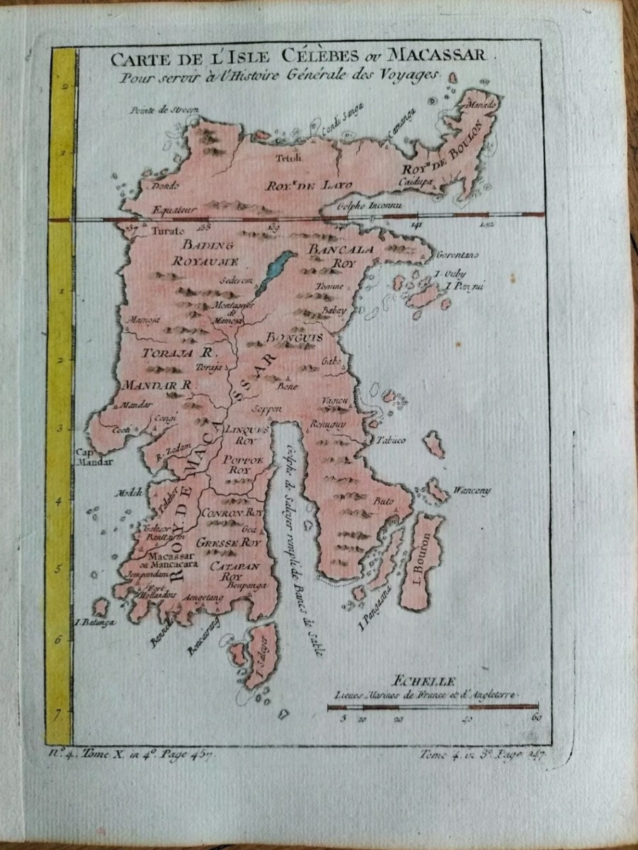
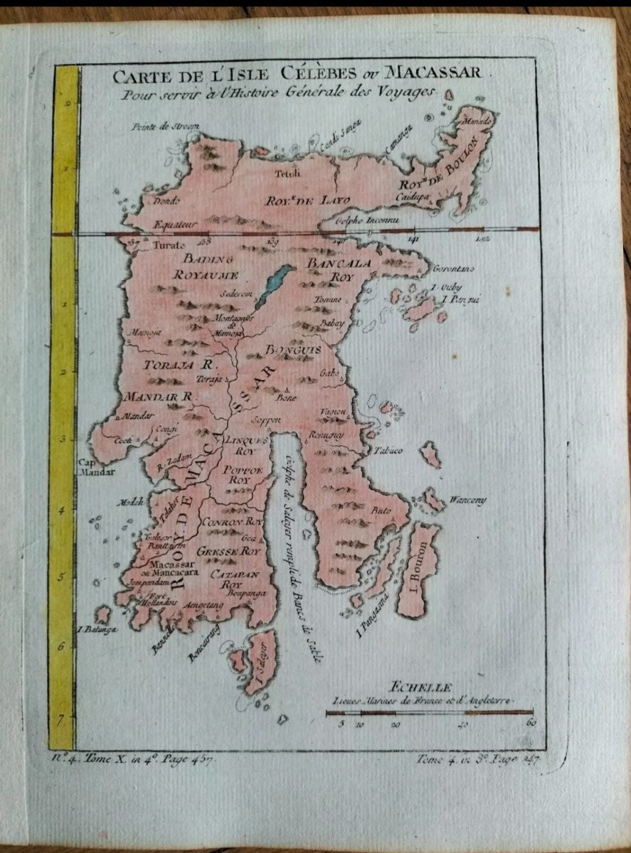
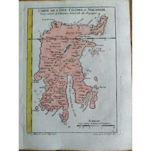
"Map 18th Century Period 18th: Celebes Islands Or Macassar Sulawesi Indonesia Bellin Circa 1754 "
Map of the Celebes or Macassar Island " by Jacques-Nicolas BELLIN Approximately 25 x 19 cms (margins included) Well engraved and well inked map. On watermarked laid paper. Nice color. A scale. Left margin reinforced by a strip of paper. Very beautiful map. Very fresh. The overall condition is excellent.
Price: 60 €
credit
Period: 18th century
Style: Louis 15th - Transition
Condition: Good condition

Width: 19 cms
Height: 25 cms

Reference: 1616859
Availability: In stock
line

"Antiquités Trouver Bonheur" See more objects from this dealer

line

"Old Maps, Louis 15th - Transition"

More objects on Proantic.com
Subscribe to newsletter
line
facebook
pinterest
instagram

Antiquités Trouver Bonheur
HERE BUY BEFORE THE OTHERS
Map 18th Century Period 18th: Celebes Islands Or Macassar Sulawesi Indonesia Bellin Circa 1754
1616859-main-68c9d360a2f8d.jpg

+33652477485

06 52 47 74 85


*We will send you a confirmation email from info@proantic.com Please check your messages, including the spam folder.

Thank you! Your submission has been received!

Oops! Something went wrong while submitting the form