THIS OBJECT WAS SOLD
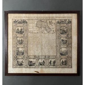
Map Of Normandy In A Carved And Gilded Wooden Frame, 18th Century
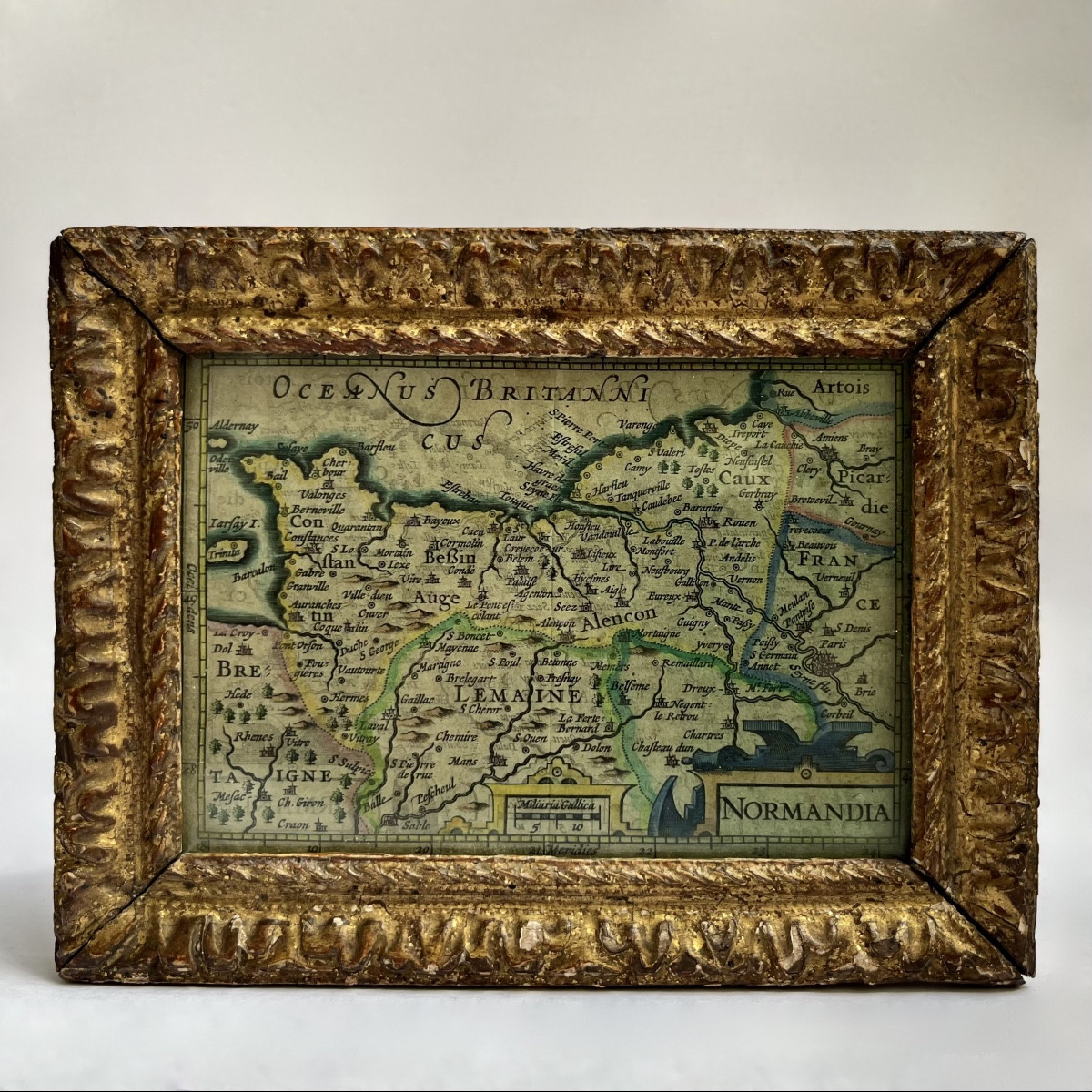

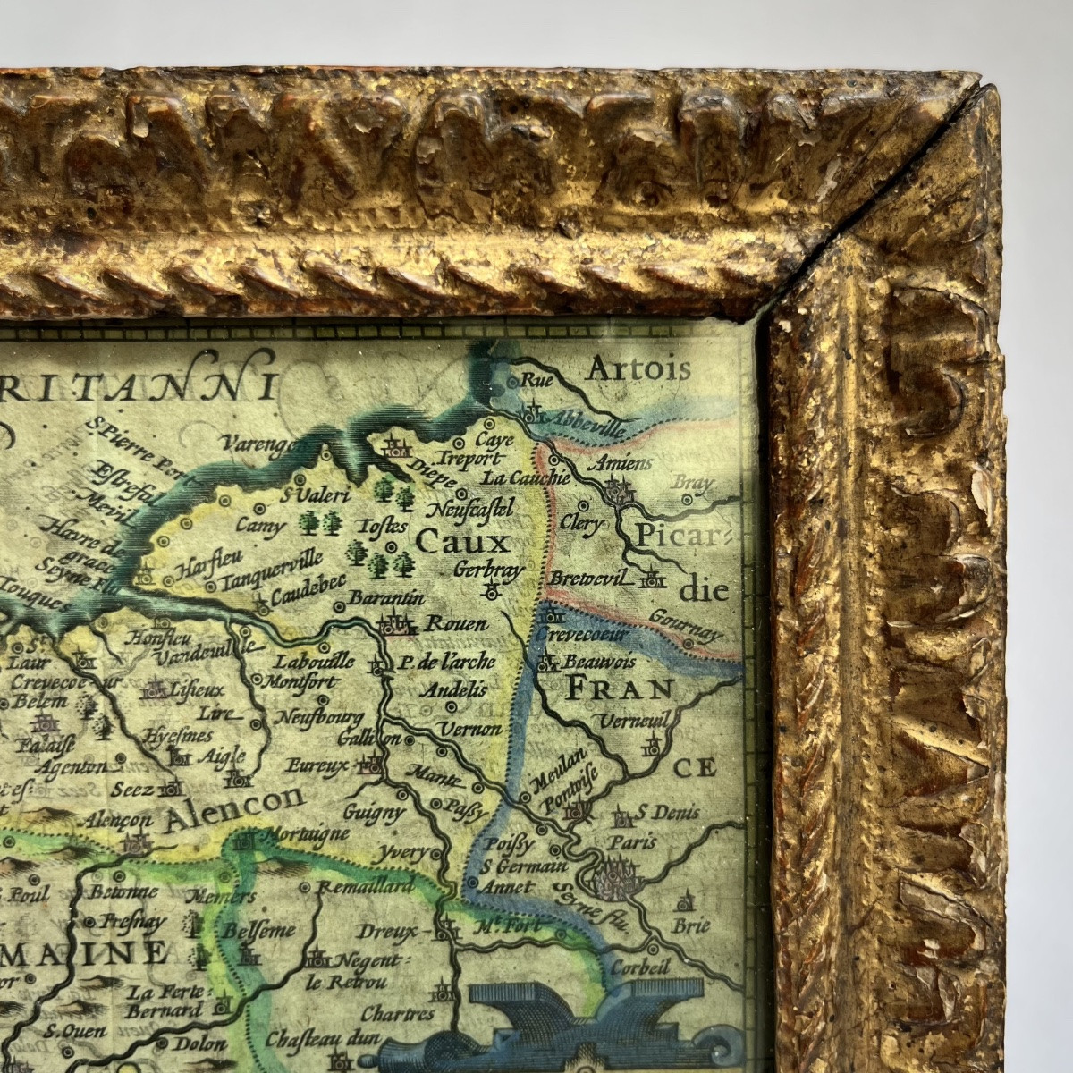
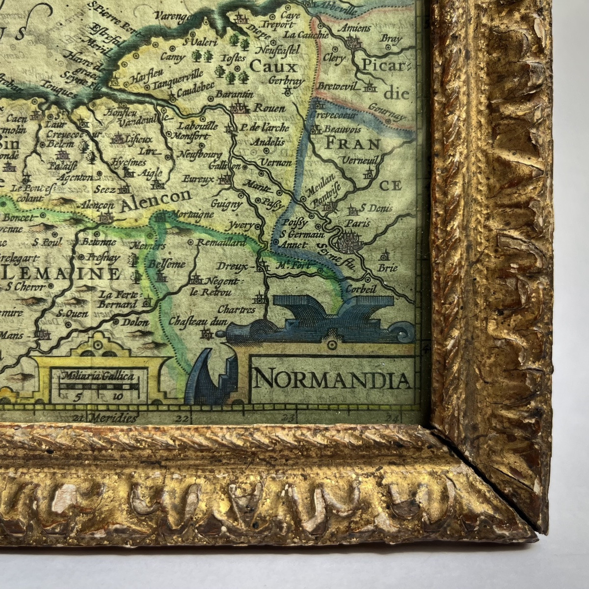
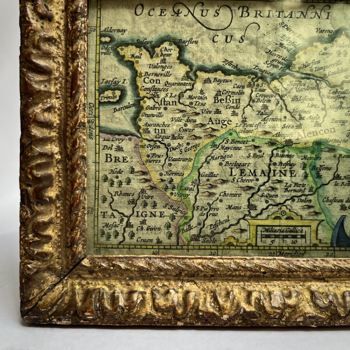
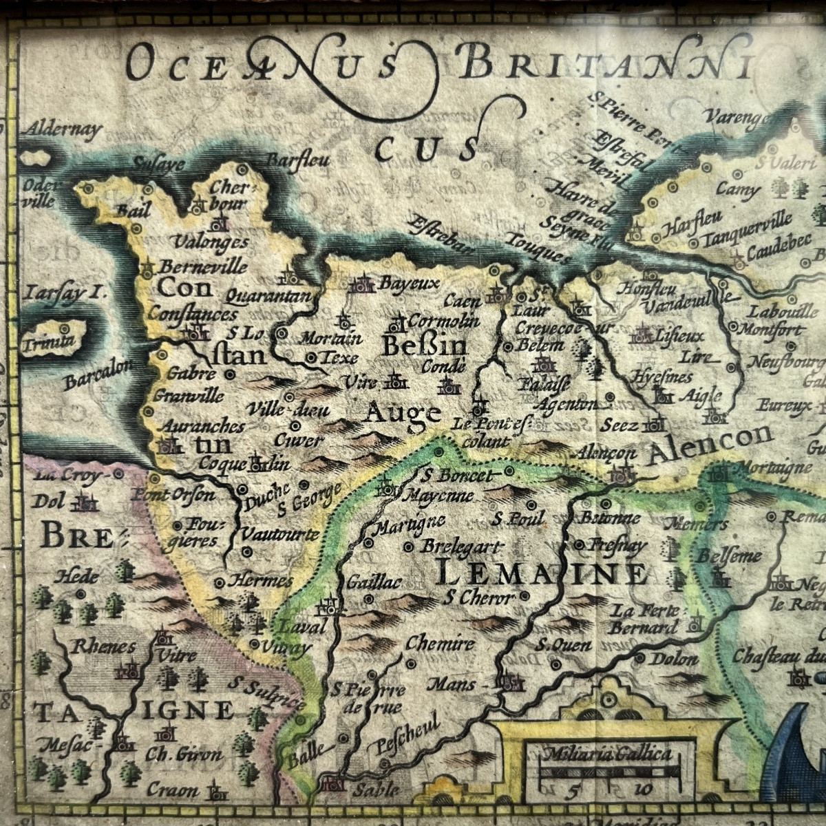


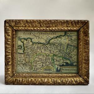


Map of Normandy (extending to Paris and Picardy in the East), in a very attractive little 18th-century carved and gilded wooden frame. Dimensions: height 12.8 cm - width 16.7 cm. Good overall condition, original gilding, minor chips.
Explore similar pieces and discover your ideal find:
Old Maps