THIS OBJECT WAS SOLD
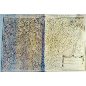
18th Century Map: England British Isles Circa 1750 English
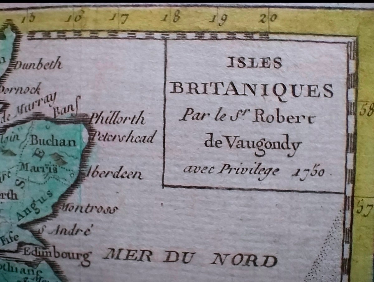
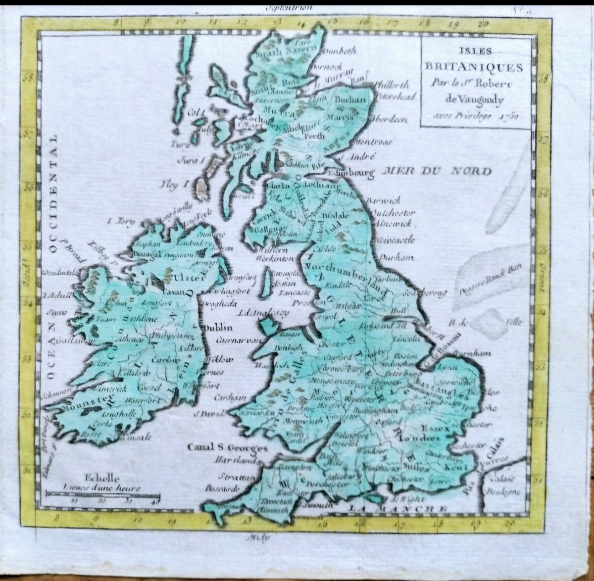

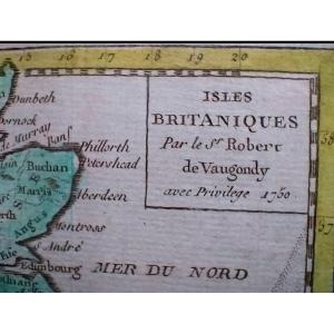


Well engraved and well inked map, On watermarked laid paper. Very nice color. 2 vertical folds (map folded in its small atlas). Paper uniformly slightly browned. Pretty map, very decorative. The overall condition is excellent.
Explore similar pieces and discover your ideal find:
Old Maps