
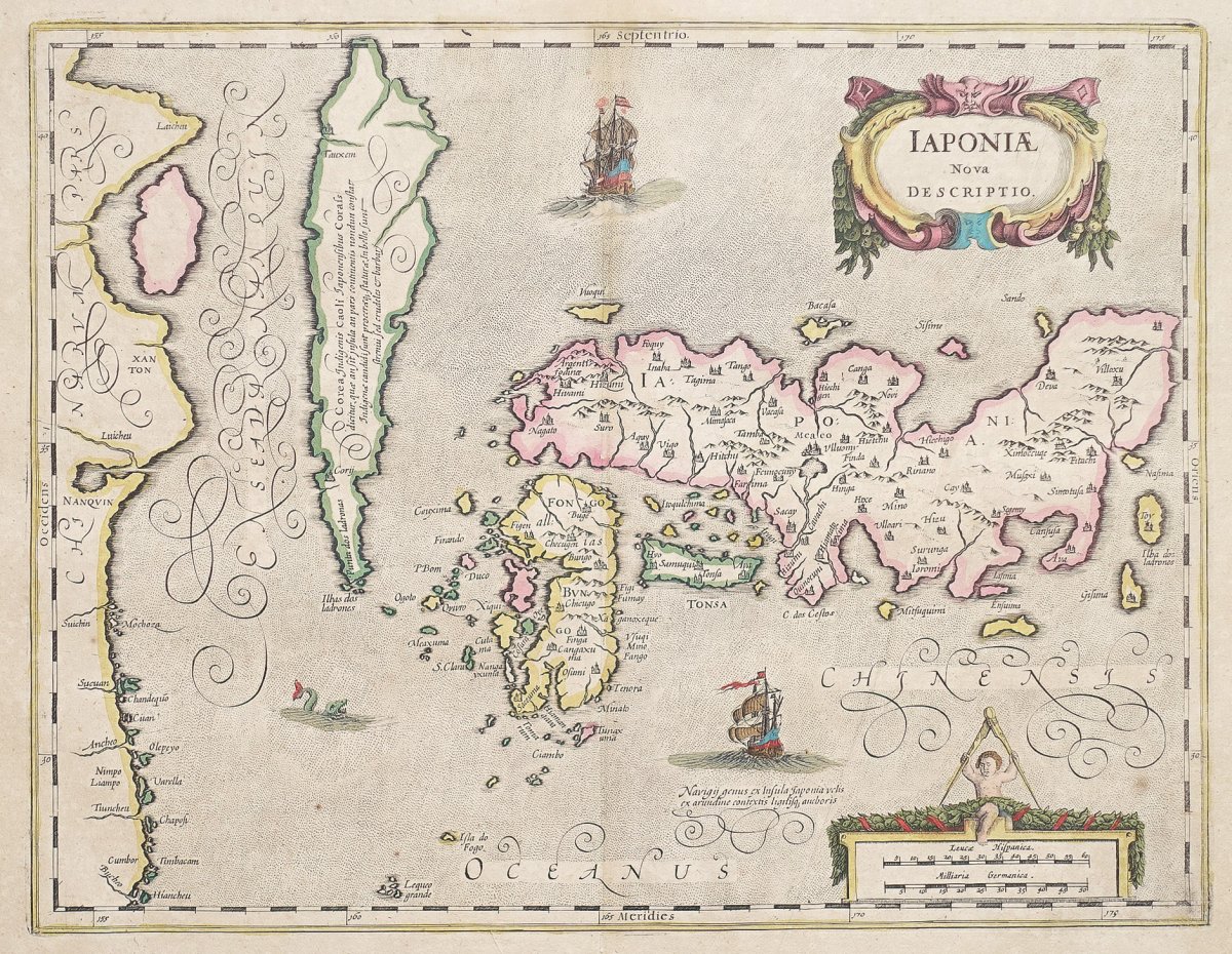


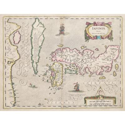


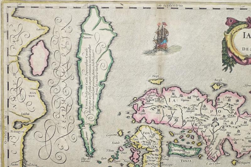
"Old Geographic Map Of Japan - Korea - Iaponia Nova Description"
Proof engraved around 1638. Jansson cartographer.Beautiful old colors. Explanatory text in Latin on the back.
Slight oxidation in the upper center, Trace of folds on the right side, easily absorbed when laid flat for framing.
Good condition.
Sheet format: 52.5 x 45 cm.
Engraving format: 45 x 35 cm.
Original antique map of 1638. T
his map of Japan and Korea is based on the Teixeira map first published in 1595 by Abraham Ortelius. The map shows Korea as a legendary island Ilhas dos Ladrones (thieves' islands). Jan Jansson personalizes this card which he will edit between 1636-1649, he illuminates the card of two European ships and a sea monster.
You can consult all the maps and engravings available in your region by clicking on the link of our website specializing in ancient geographic archives : https://www.cartes-livres-anciens.com
Possibilities of secure payment by bank card on our website: //cartes-livres-anciens.com/produit/cartes/asie/japon/carte-geographique-ancienne-du-japon-iaponia-nova-descriptio/


 Le Magazine
 Rivista Artiquariato
 TRÉSORS magazine