THIS OBJECT WAS SOLD
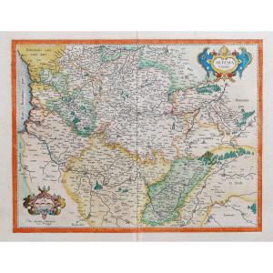
Map Of The Duchy Of Lorraine And Bar By Mariette 1653 17 Eme Nancy Toul Metz Verdun
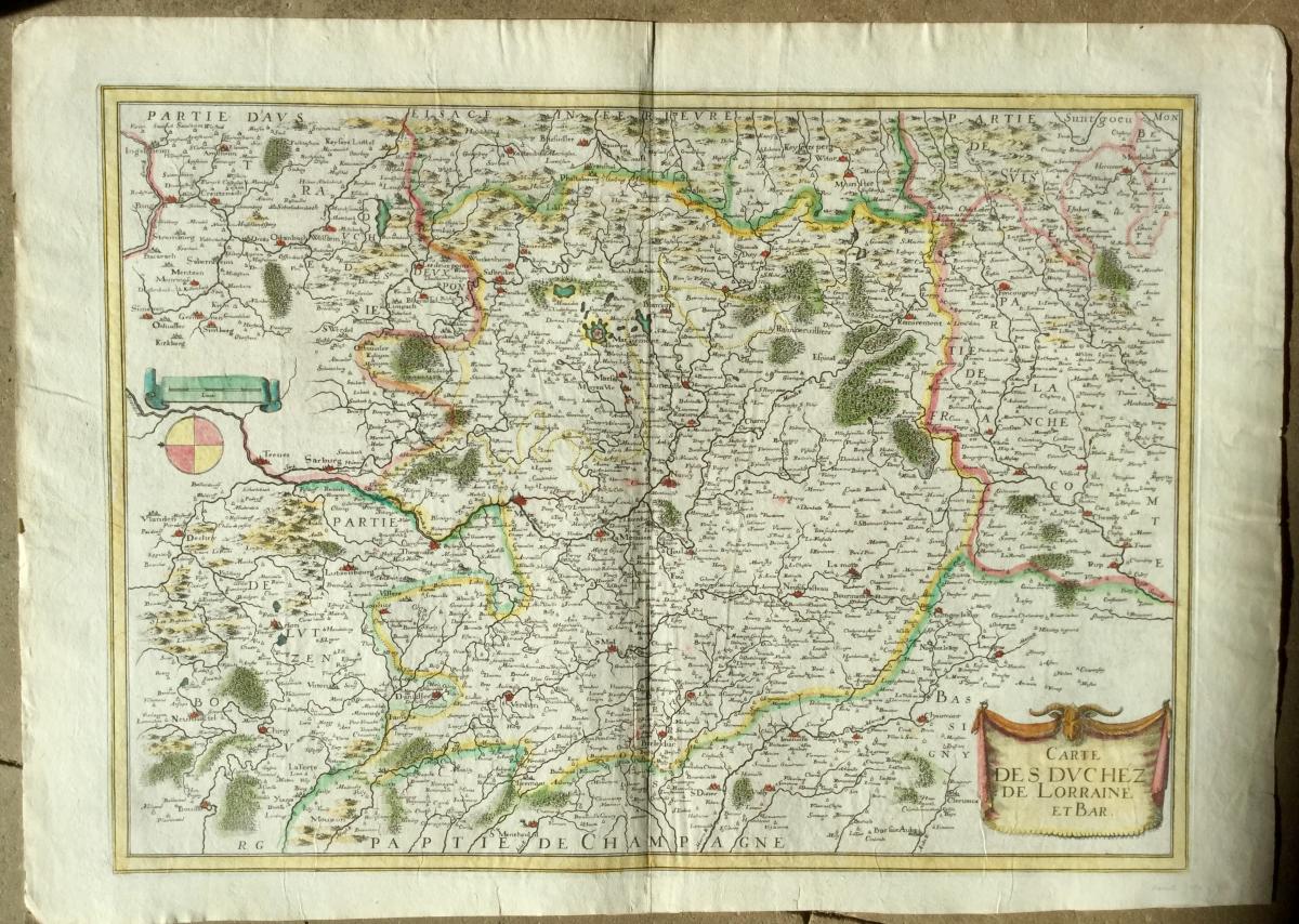


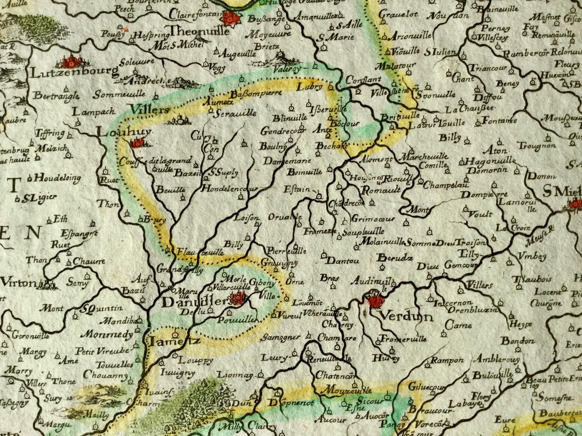


map geography vintage 17 Eme circa 1653 titled: map of the Duchy of Lorraine and bar edited by: Pierre Mariette (1603-1657) to where in 1653 from the book "theater geography of France" reference atlas in the 17th century watercolor old color bright color central vertical fold of origin very good general state size paper pen 58 x 41,2 cm size bowl: 50.7 x 36.3 cm origin: private collection I have other map of the same time on the Lorraine
Explore similar pieces and discover your ideal find:
Old Maps