Map Of The Department Of Gironde Decreed On February 6, 1790 From The National Atlas flag


Object description :

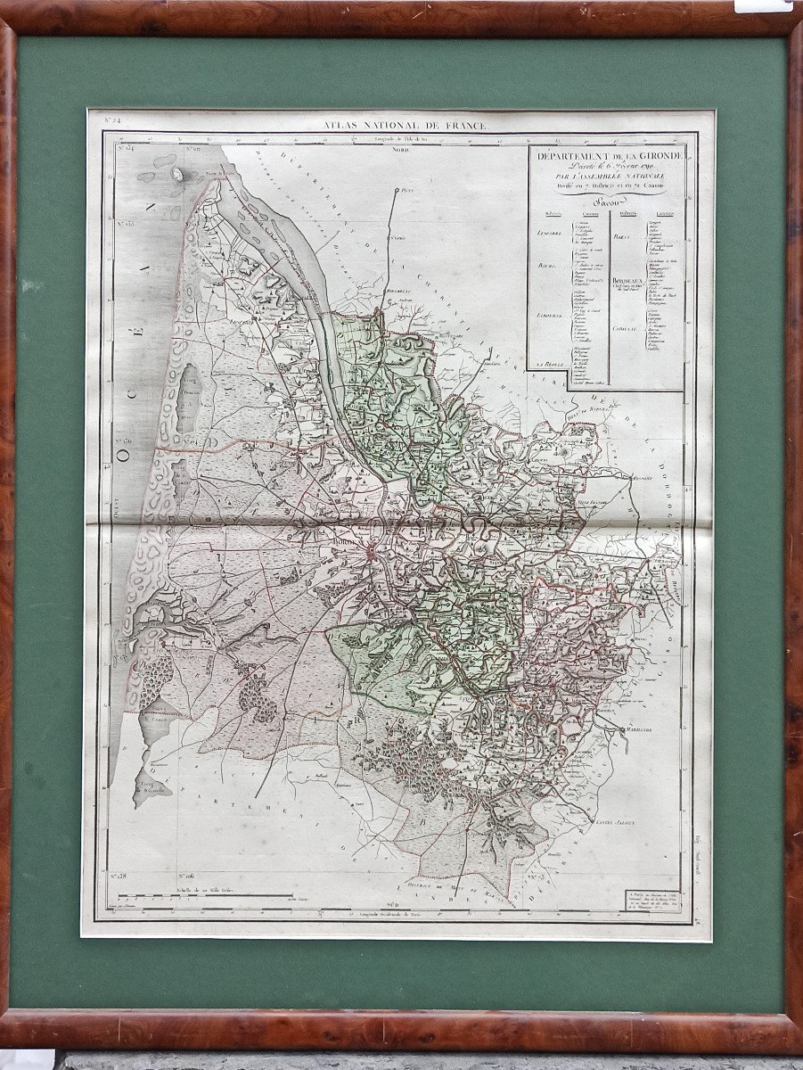
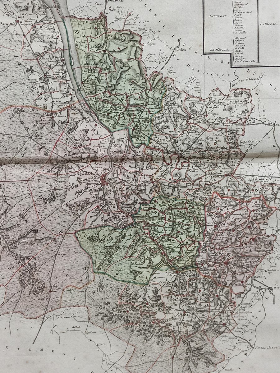
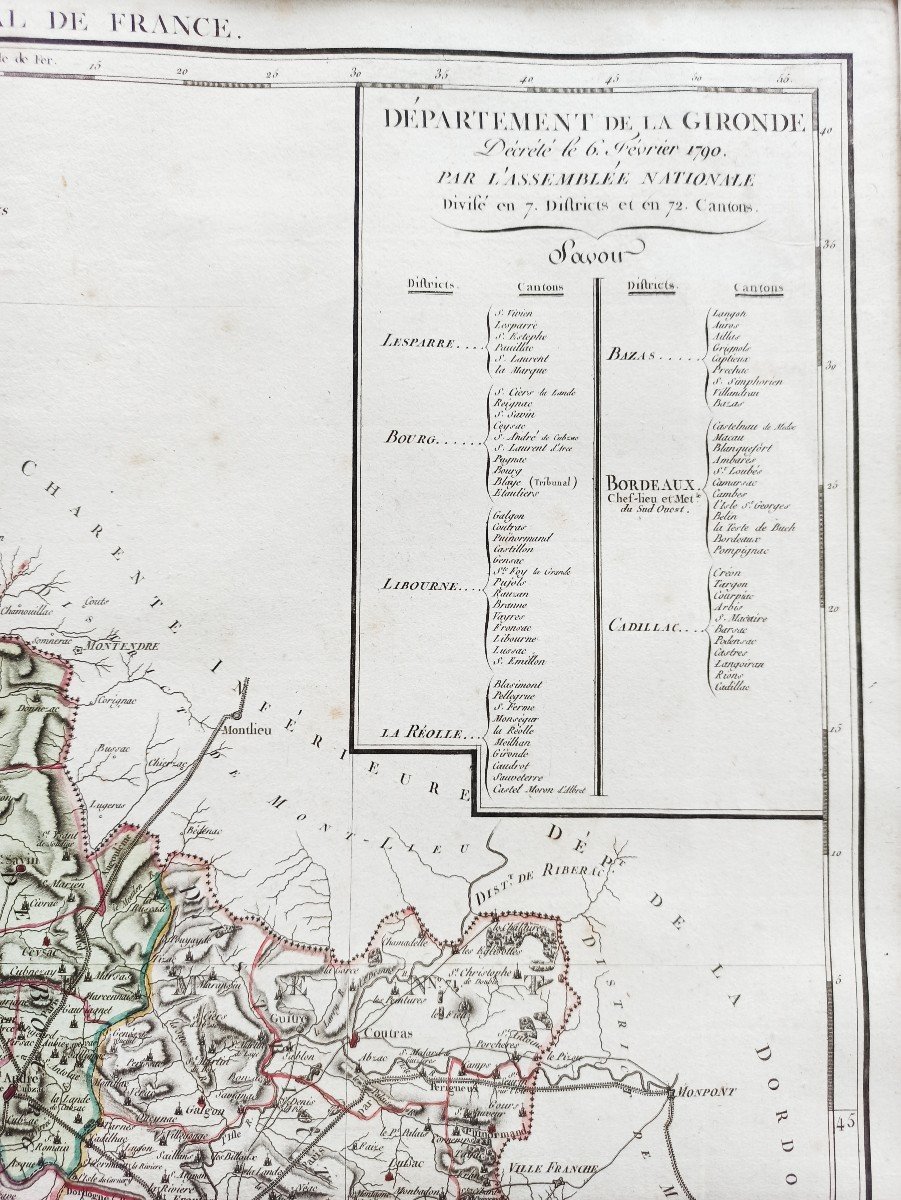
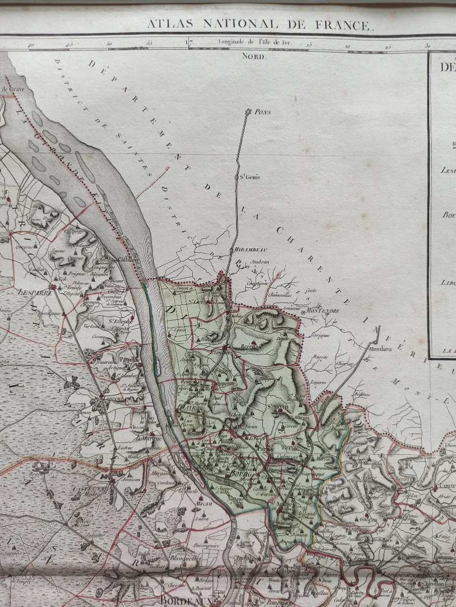
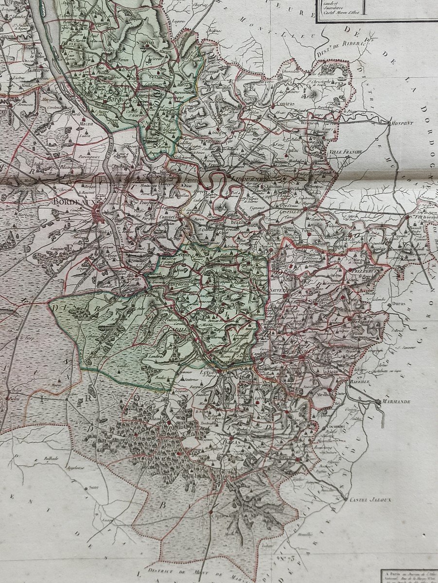
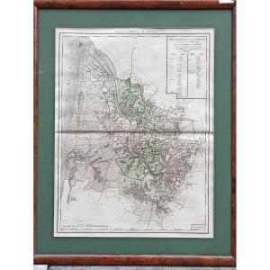
"Map Of The Department Of Gironde Decreed On February 6, 1790 From The National Atlas"
Beautiful map of the Gironde department from the National Atlas decreed on February 6, 1790. Original edition in period colors engraved on rag paper with watermark. Beautiful copy, untrimmed engraving, fresh, with some freckles. Central fold justified by its insertion in an Atlas.
Price: 240 €
credit
Period: 18th century
Style: Louis 16th, Directory
Condition: Excellent condition

Width: 52
Height: 66

Reference: 964948
Contact Dealer
line

"Le Rendez-vous des Artistes" See more objects from this dealer

line

"Old Maps, Louis 16th, Directory"

More objects on Proantic.com
Subscribe to newsletter
line
facebook
pinterest
instagram
Le Rendez-vous des Artistes
Mobilier XVIIIème à XX ème, Tableaux, Sculpture
Map Of The Department Of Gironde Decreed On February 6, 1790 From The National Atlas
964948-main-62b34b8e5e758.jpg
0622905553


*We will send you a confirmation email from info@proantic.com Please check your messages, including the spam folder.

Thank you! Your submission has been received!

Oops! Something went wrong while submitting the form