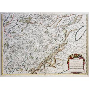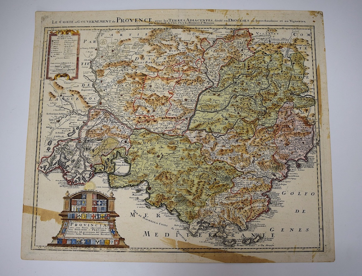
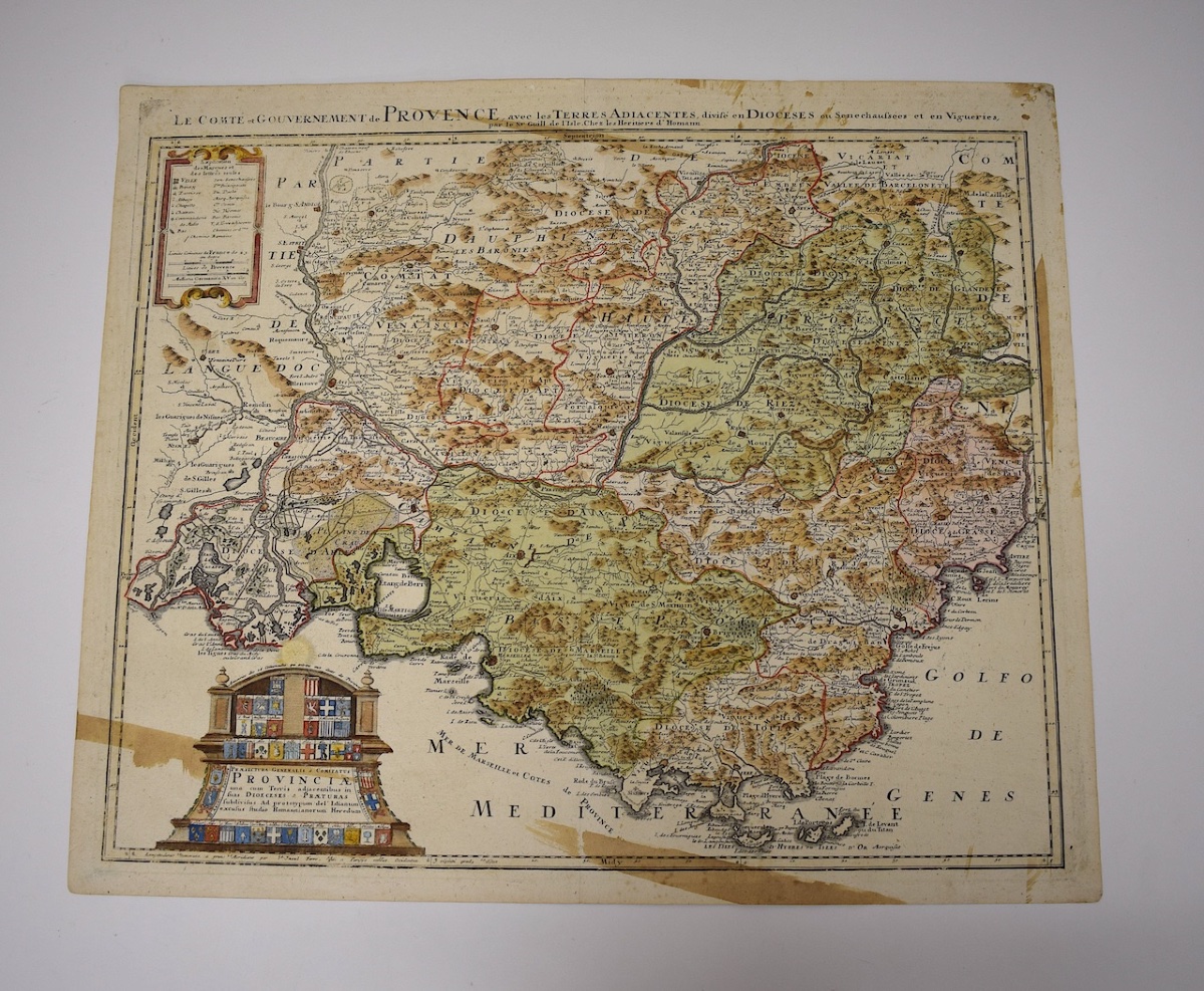
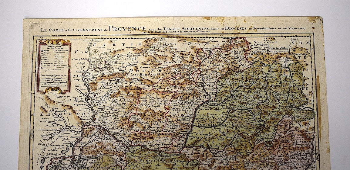
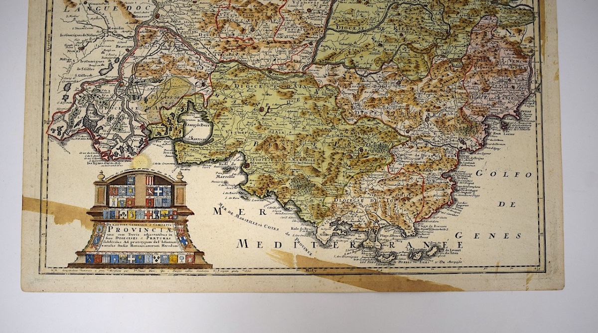
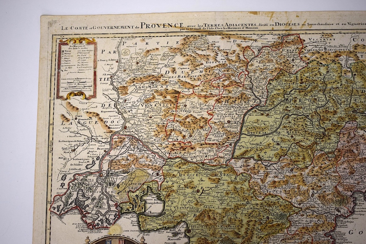
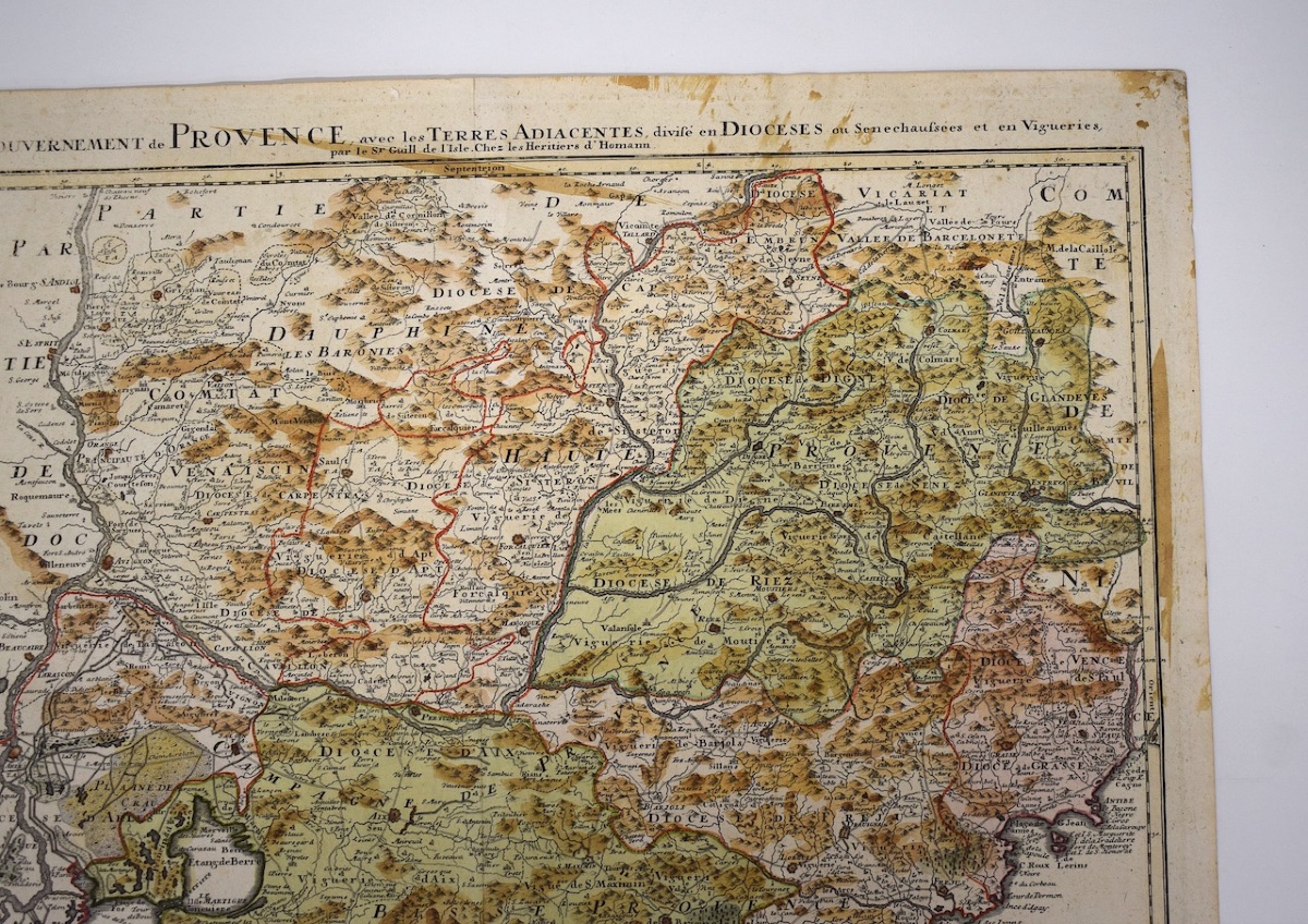
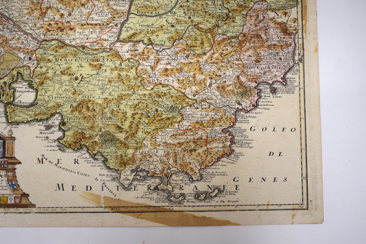
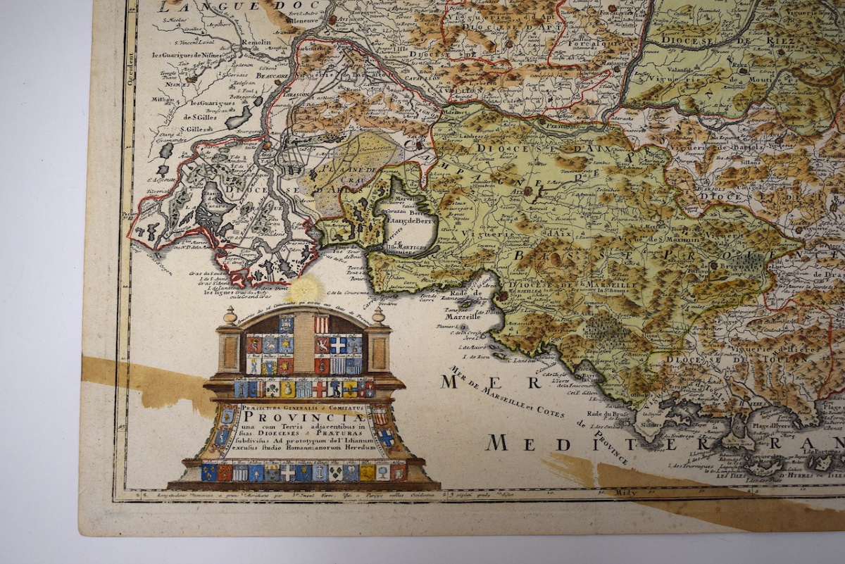



Delisle Engraving, 18th Century, Map Of The County And Government Of Provence, Refm1189
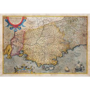
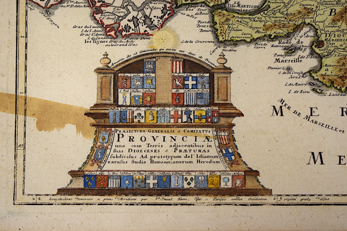
A map originally drawn by the geographer Guillaume Delisle and published by the heirs of Johann Baptist Homann around 1740–1750 in Nuremberg.
It depicts the region of historic Provence, divided into dioceses, bordered by the Mediterranean Sea and neighboring territories.
Towns, parishes, and castles are shown in detail, along with units of measurement (French leagues, Provençal leagues, and Germanic miles).
This map has some foxing on the front edges. (see photos)
Period: mid-18th century
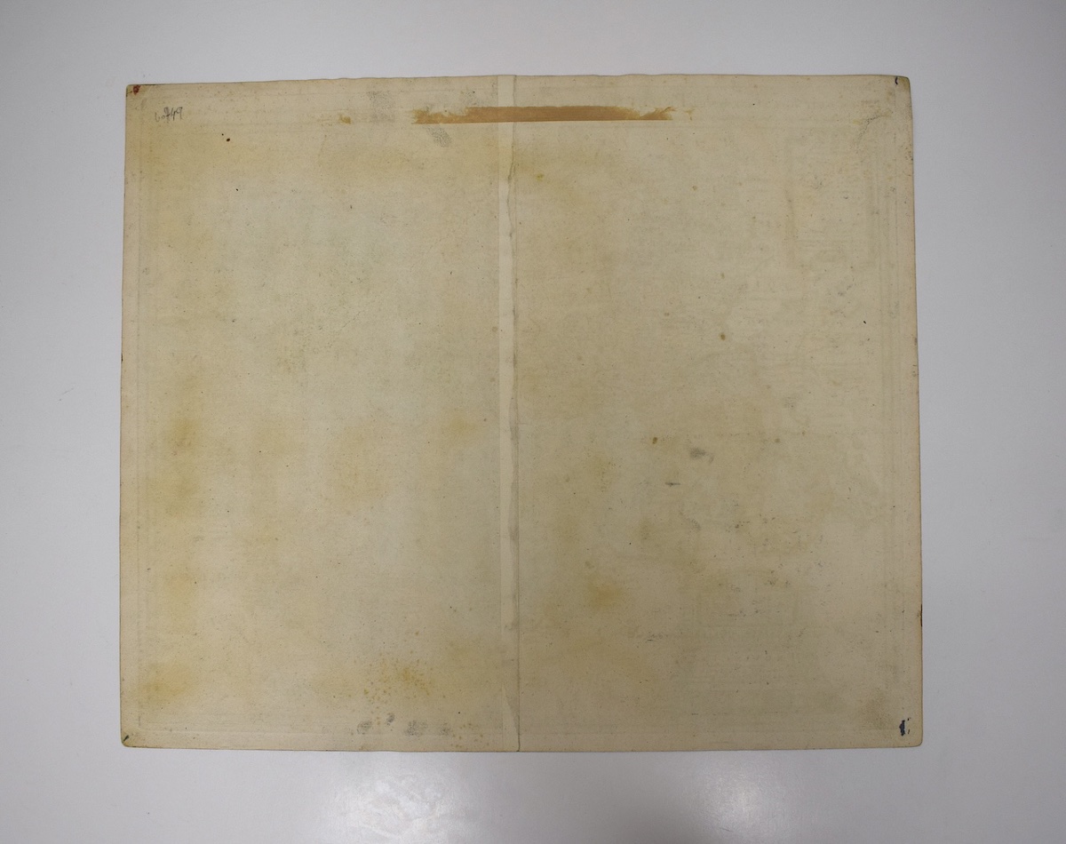
Condition: As found; in good condition, with a very slight, almost invisible crease in the center and some minor foxing.
Dimensions of the sheet: 62.5 cm x 52.8 cm.
Dimensions within the mount: 59.5 x 50.2 cm
Weight: 42 grams.
SHIPPING:
To find out the shipping costs before purchasing, click “Buy Online” and select your country, or contact us by email.
Carefully packaged.
Shipped via Colissimo with tracking, domestic and international, registered with insurance.
PAYMENT:
Payment methods: French check, bank transfer, PayPal, or credit card (via PayPal).
HAVE A QUESTION?:
French speakers: by phone or email.
Non-French speakers: by email; please specify your country.
Phone: Mobile 06 12 60 39 35
Period: 18th century
Style: Other Style
Condition: Good condition
Material: Paper
Length: dimensions de la planche : 62,5 cm x 52,8 cm.
Width: dimensions à la cuvette : 59,5x 50,2 cm
Reference (ID): 1842819
Availability: In stock