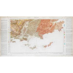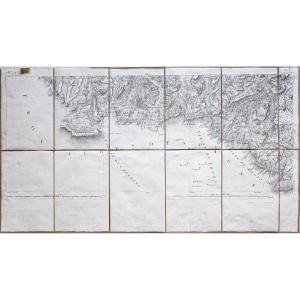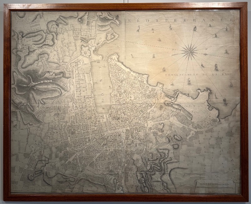
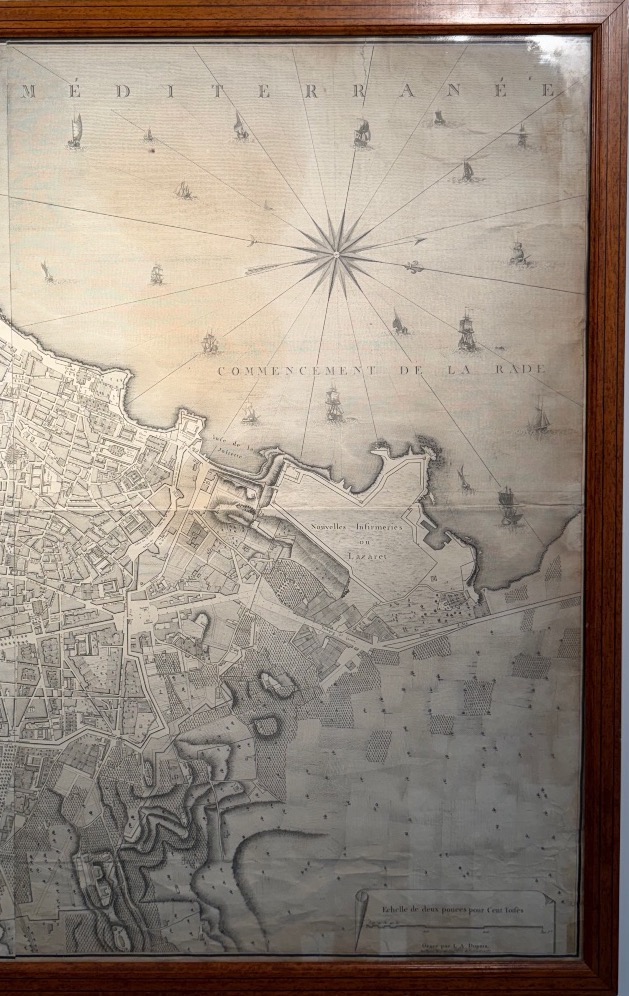

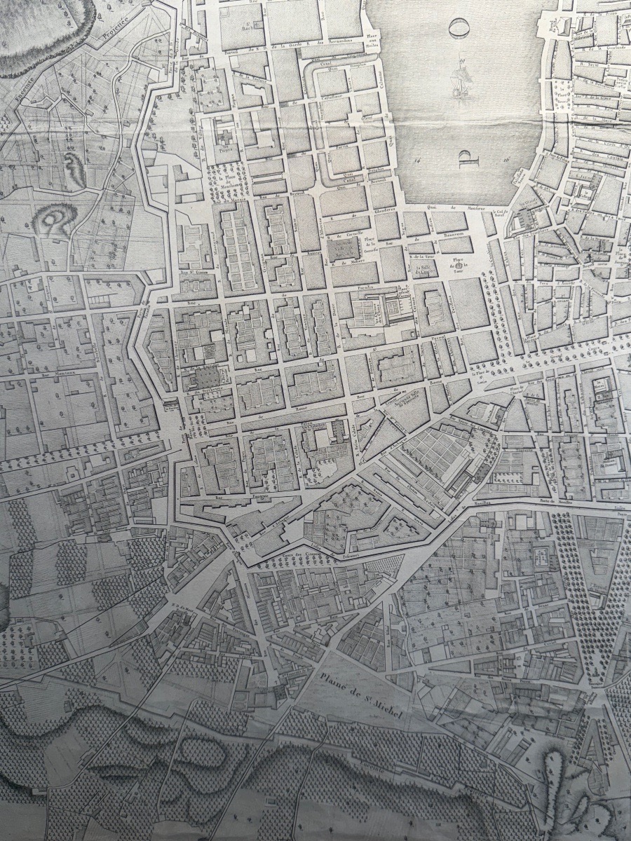
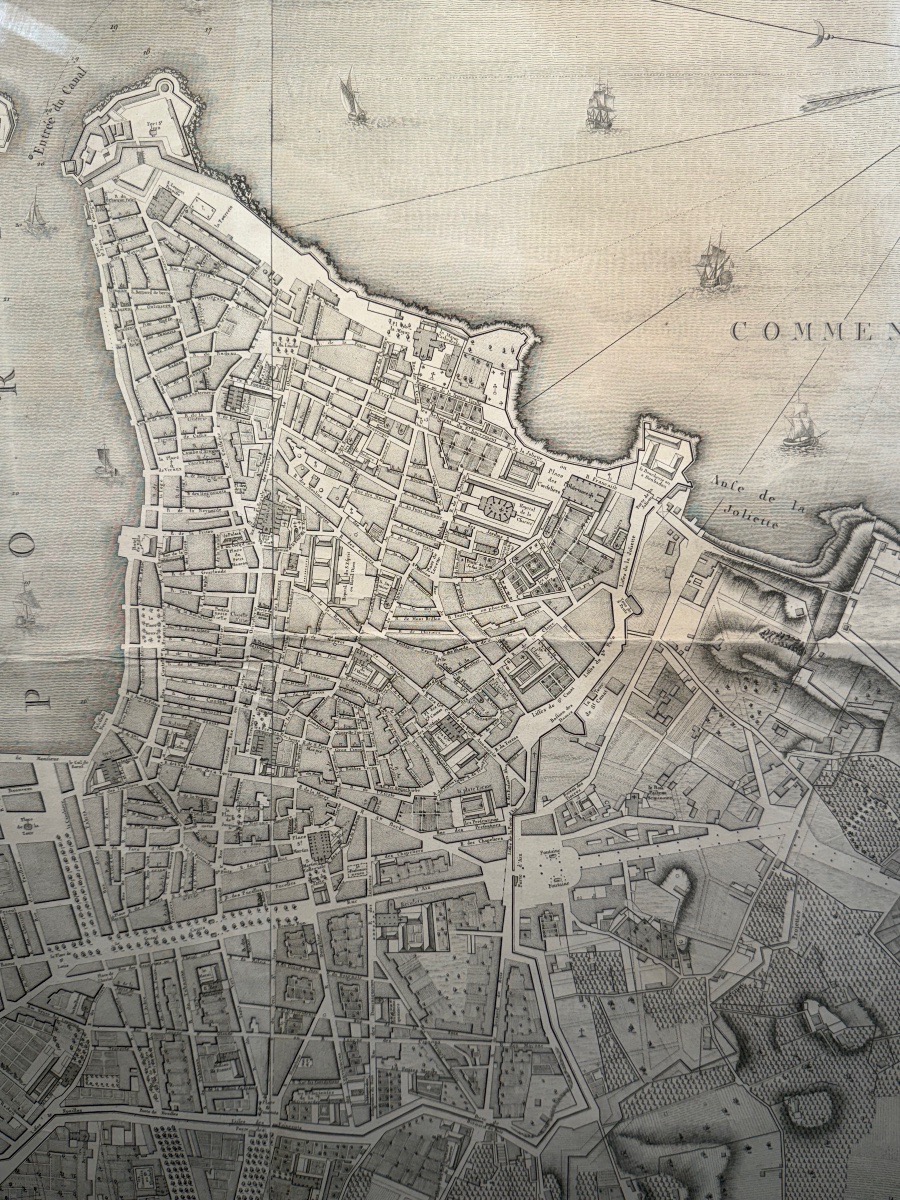
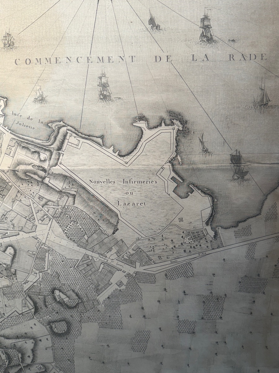
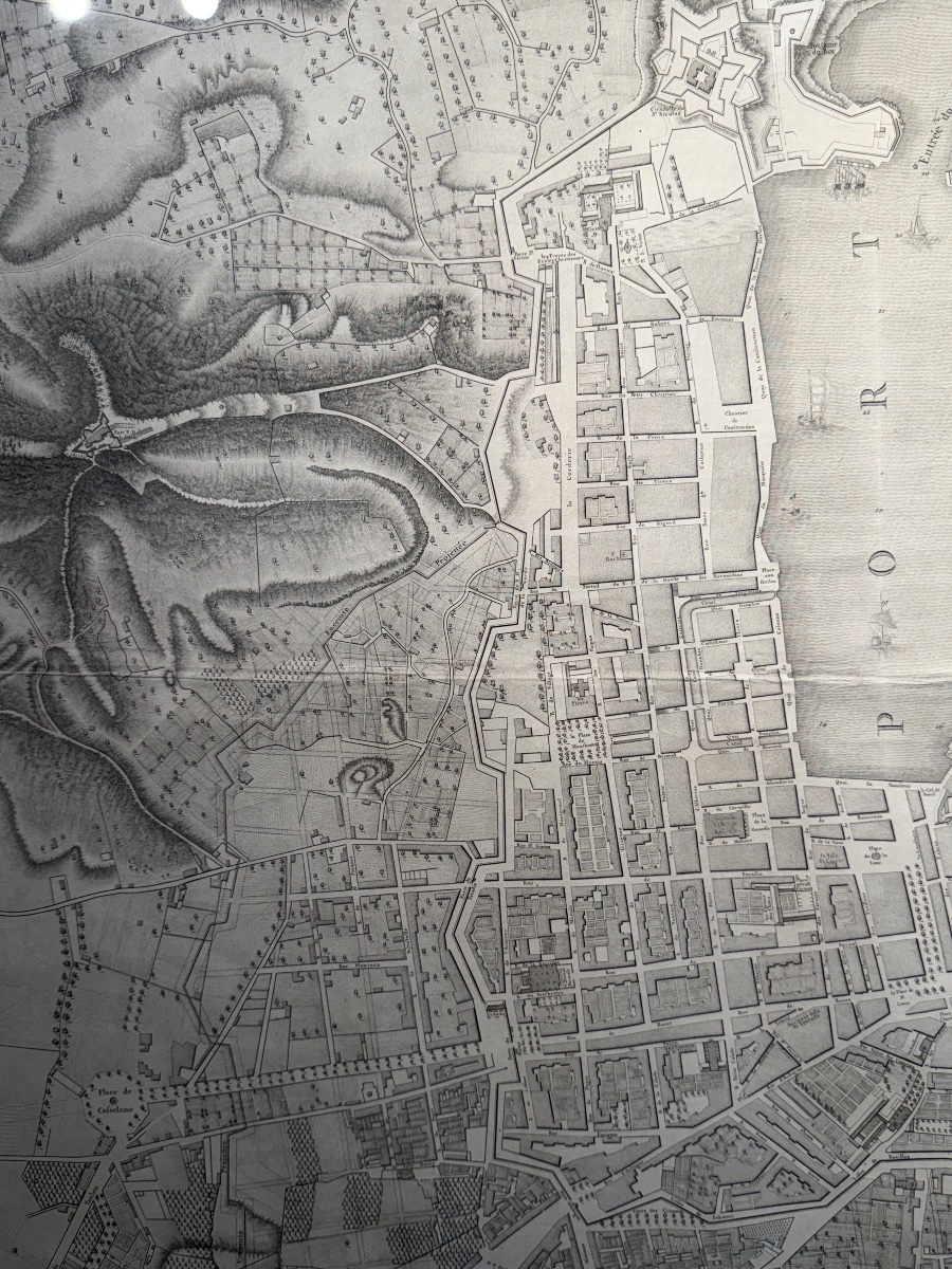
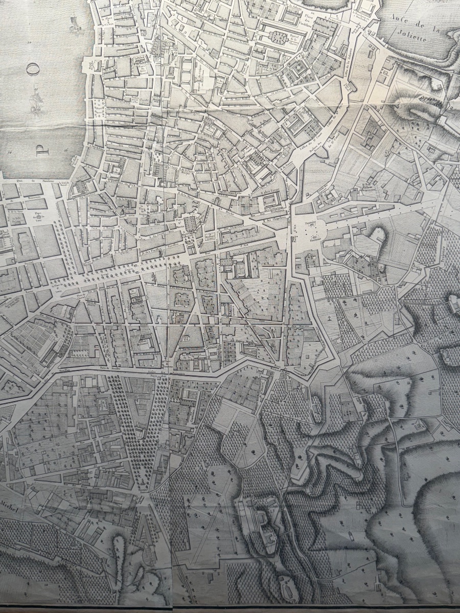
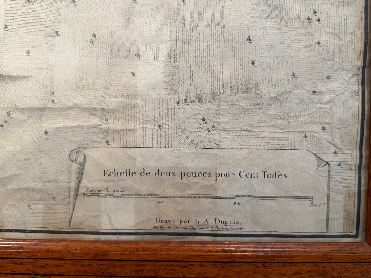
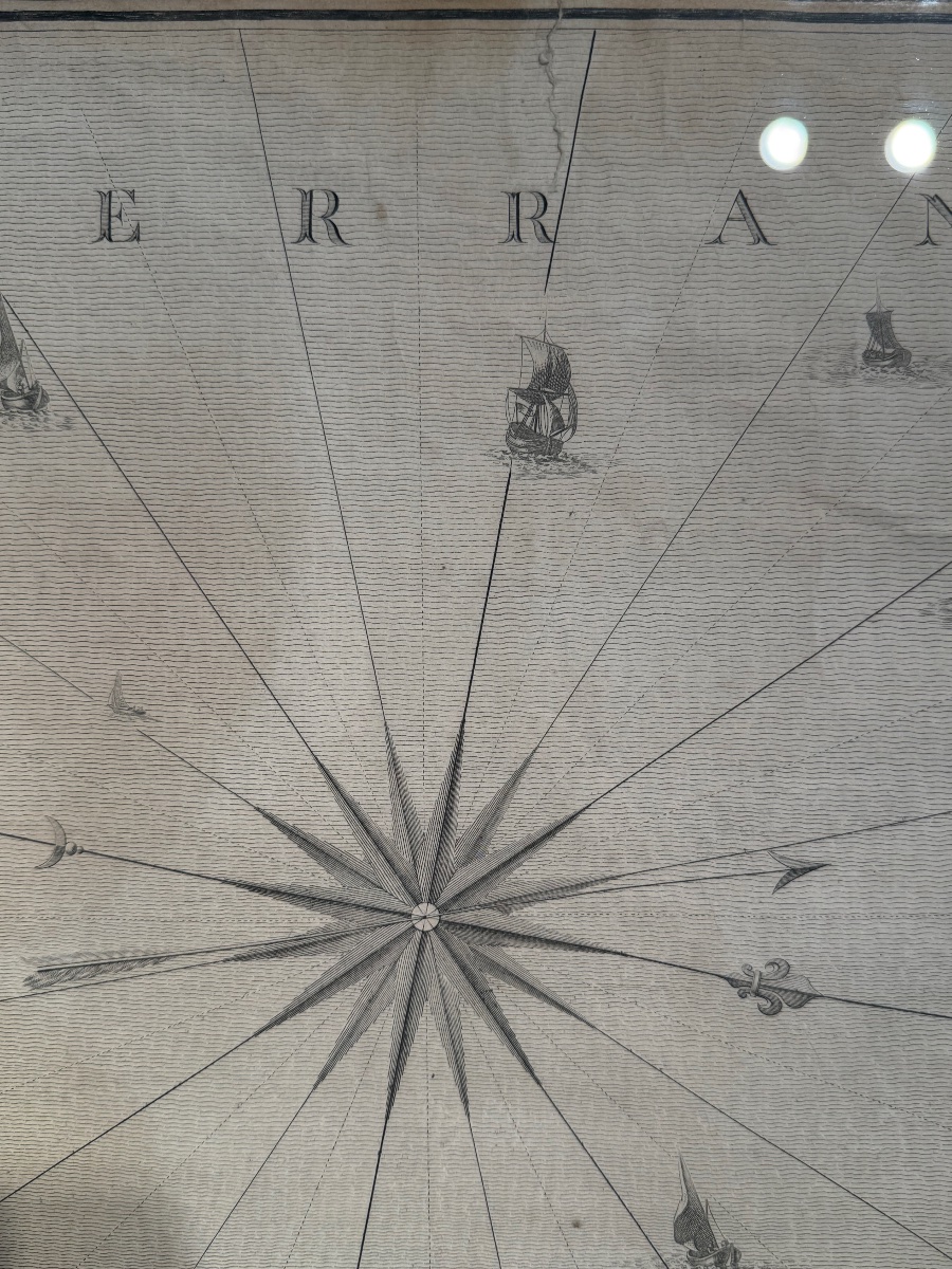


Geometric Map Of The City Of Marseille And Its Suburbs, Late 18th Century, By Pierron.
Artist: Dupuis
Geometric map of the city of Marseille and its suburbs from the late 18th century, surveyed by order of the King in 1785. Expansion plan by Pierron. Engraved by Dupuis, two-part copper engraving, 1787.
Dimensions: 82 x 102 cm
A few slight tears (see photos)
Framed in pitchpine
1 200 €
Period: 18th century
Style: Other Style
Condition: Good condition
Material: Paper
Width: 102
Height: 82
Reference (ID): 1835847
Availability: In stock
Print