THIS OBJECT WAS SOLD

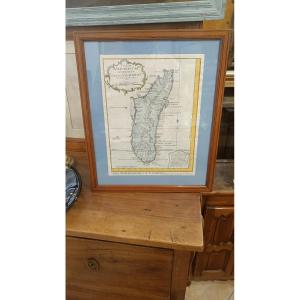
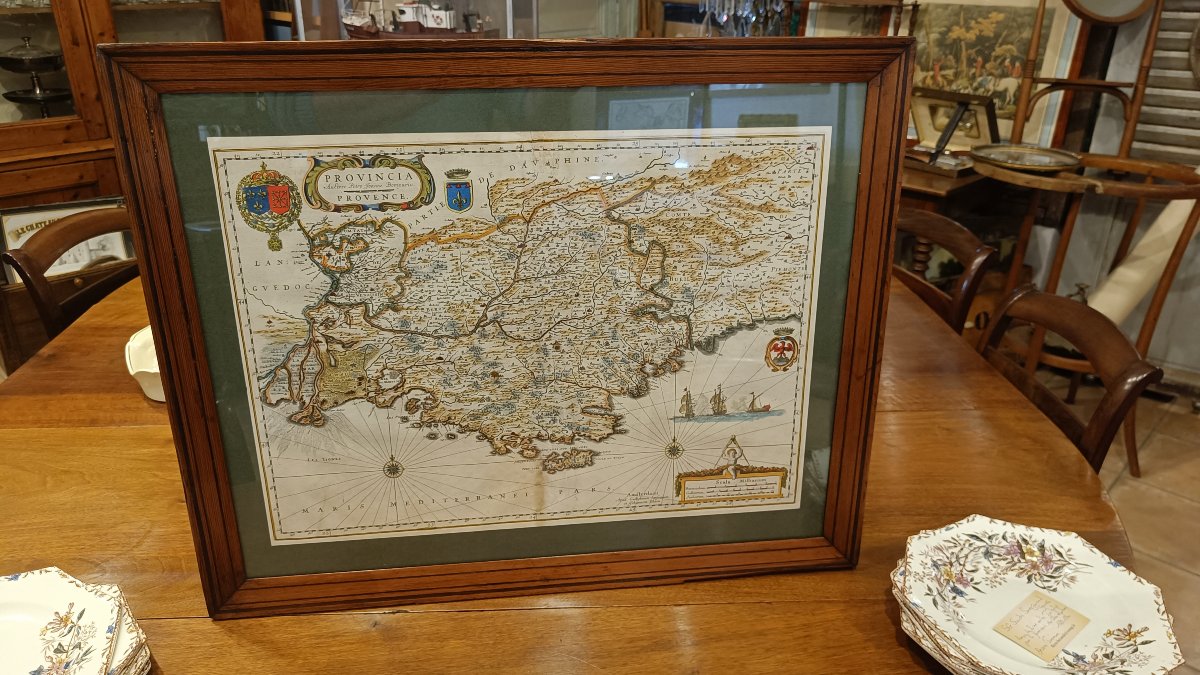
A 17th-century Watercolor Map Of Provence, Framed, By Willem Blaeu, Circa 1636
Sold
A 17th-century Watercolor Map Of Provence, Framed, By Willem Blaeu, Circa 1636
Sold
A 17th-century Watercolor Map Of Provence, Framed, By Willem Blaeu, Circa 1636-photo-2
Sold
A 17th-century Watercolor Map Of Provence, Framed, By Willem Blaeu, Circa 1636-photo-3
Sold
A 17th-century Watercolor Map Of Provence, Framed, By Willem Blaeu, Circa 1636-photo-4
Sold
A 17th-century Watercolor Map Of Provence, Framed, By Willem Blaeu, Circa 1636-photo-1
Sold
A 17th-century Watercolor Map Of Provence, Framed, By Willem Blaeu, Circa 1636-photo-2
Sold
A 17th-century Watercolor Map Of Provence, Framed, By Willem Blaeu, Circa 1636-photo-3
Sold
A 17th-century Watercolor Map Of Provence, Framed, By Willem Blaeu, Circa 1636-photo-4
More pictures
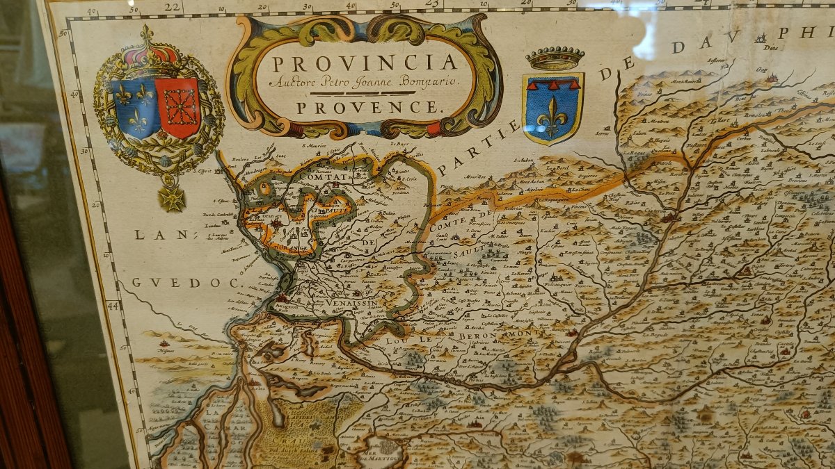
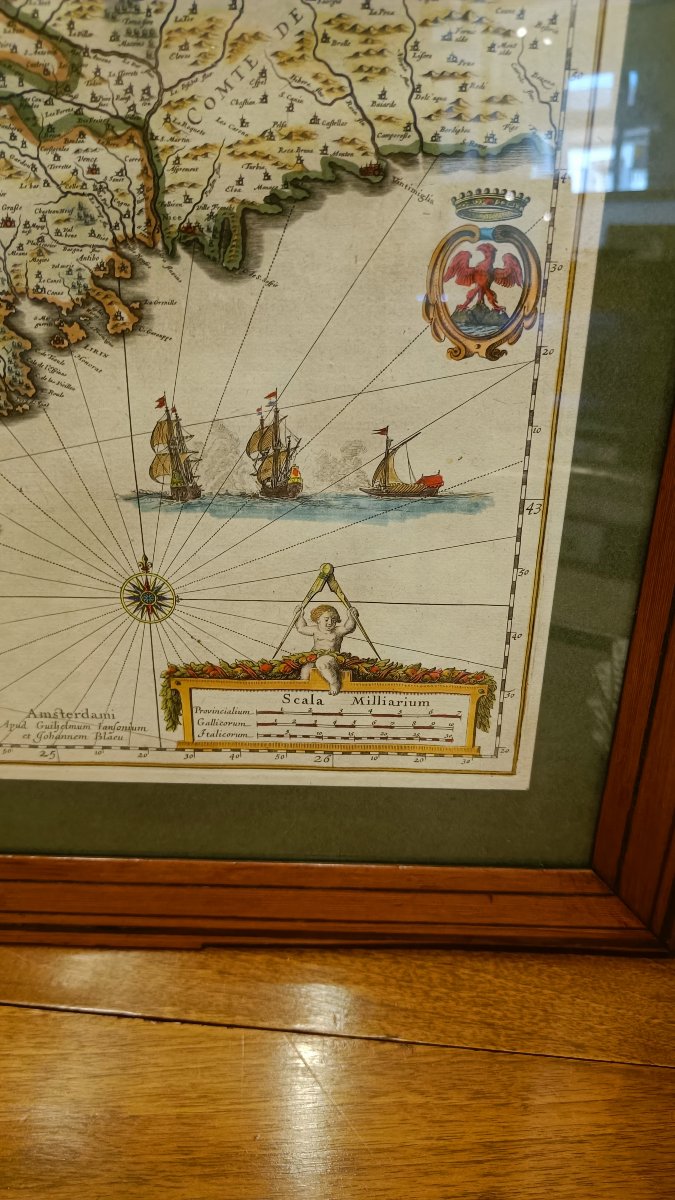
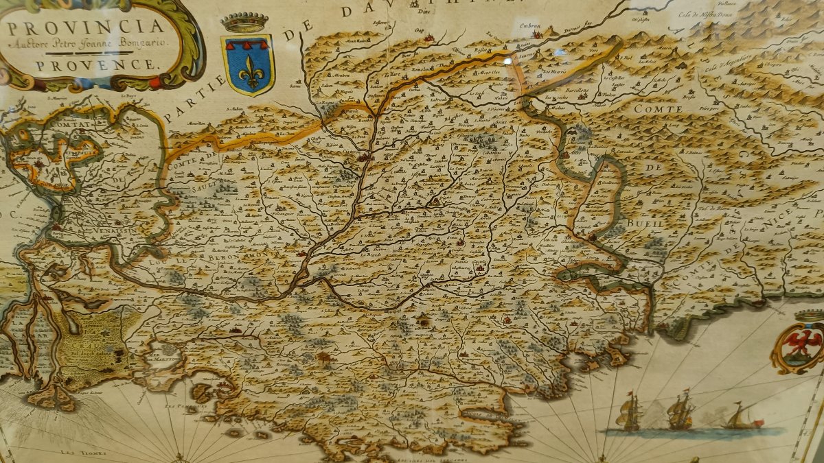
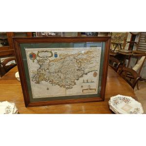
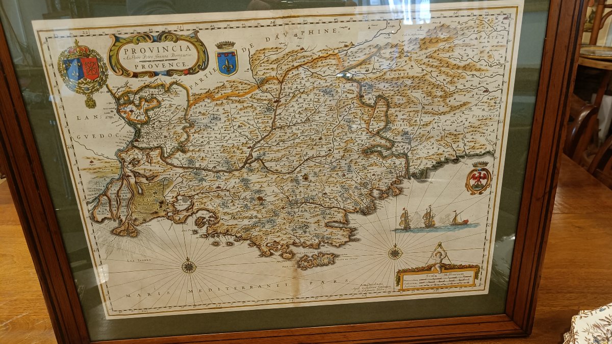
Rare 17th-century watercolor map depicting Provence, titled "Provincia Auctore Petro Joanne Bompario. Provence," engraved by the Dutch cartographer Willem Blaeu around 1634–1638, based on the work of Pierre Jean Bompar.
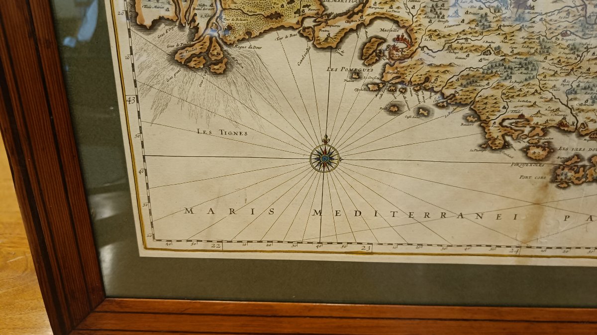
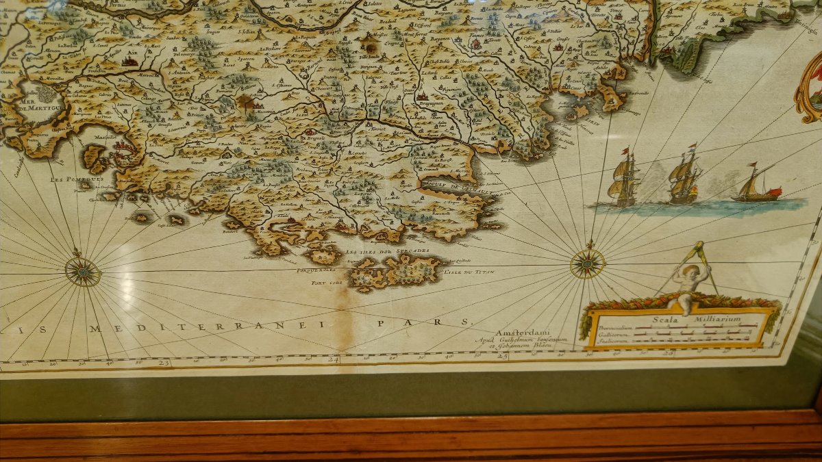
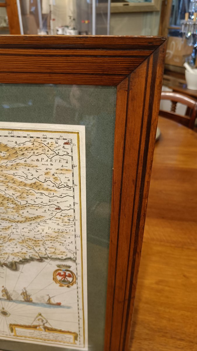
Superb royal cartouches, one from Nice, and a scale marked with a compass. The sea is decorated with ships and beautiful compass roses.
The Mediterranean islands are well depicted.
19th-century Pitchpin frame, 68 cm x 55 cm

Explore similar pieces and discover your ideal find:

Old Maps
Old Map From The XVIIth Of Janssonius: Galliae Veteris Typus (roman Gaul)
Topographic Map Of Massif Algiers, 1845.
Old Map Of Nice
Original Antique Map Of Ile De France
Ancient Map Of Volcanoes
Map Of Hocsieu Bay (china). C. 1760

88A avenue Joseph Pineau
Noirmoutier en l'île 85330, France

06 13 50 19 76

Follow the dealer

CONTACT

SIGN UP TO OUR NEWSLETTER

facebook
instagram

KRON Frédéric Antiquités
Map Of Hocsieu Bay (china). C. 1760
1776787-main-6a2af2162338c.jpg

06 13 50 19 76


*We will send you a confirmation email from info@proantic.com .
Please check your messages, including the spam folder.