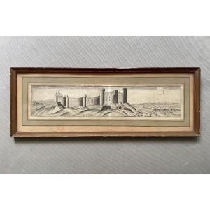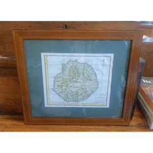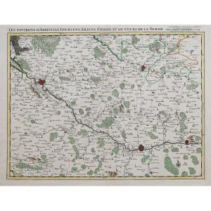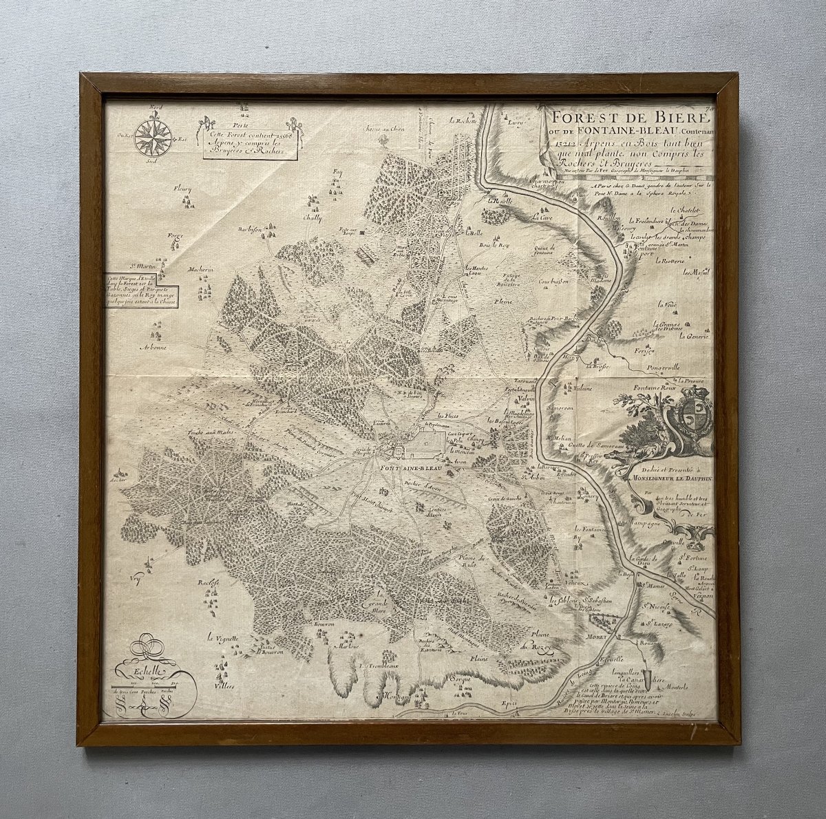
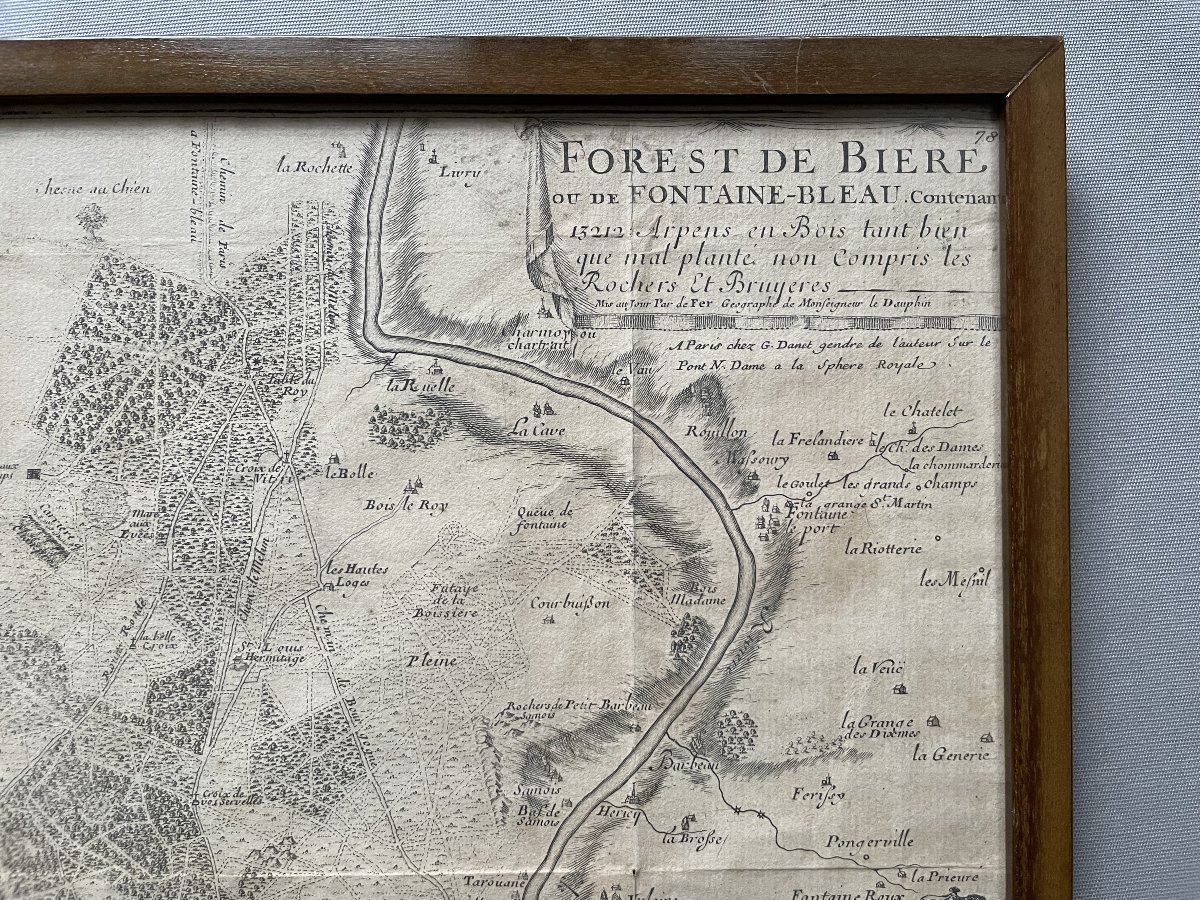
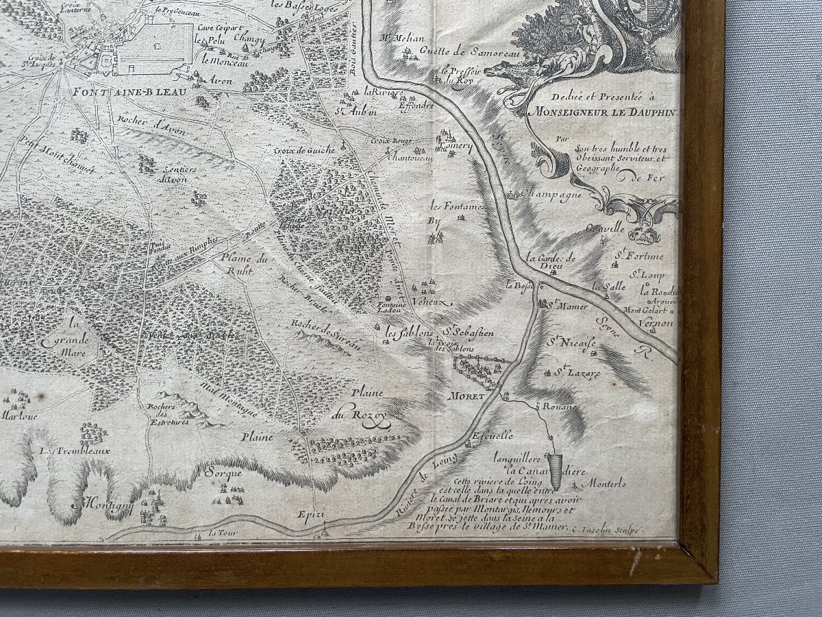
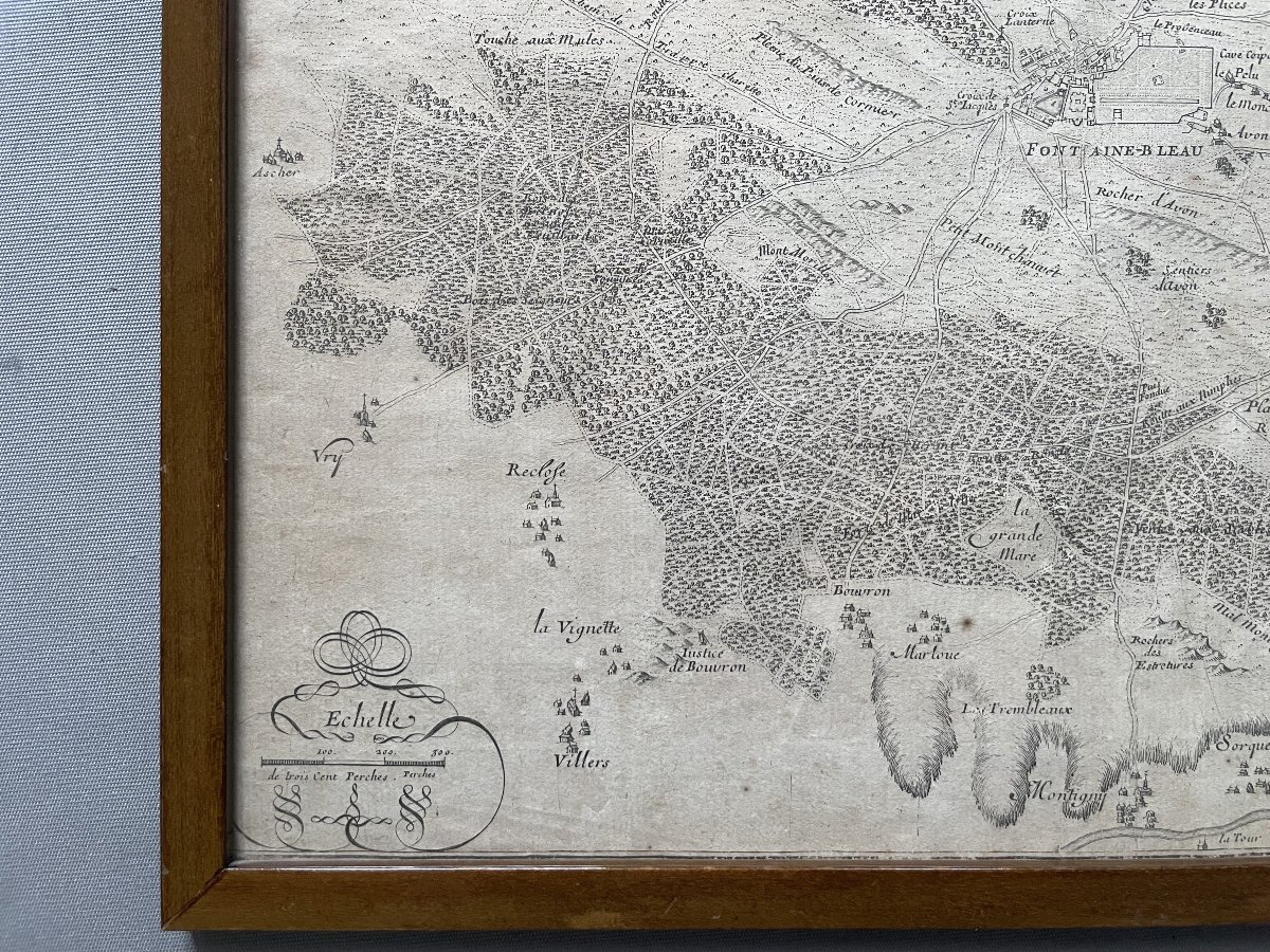
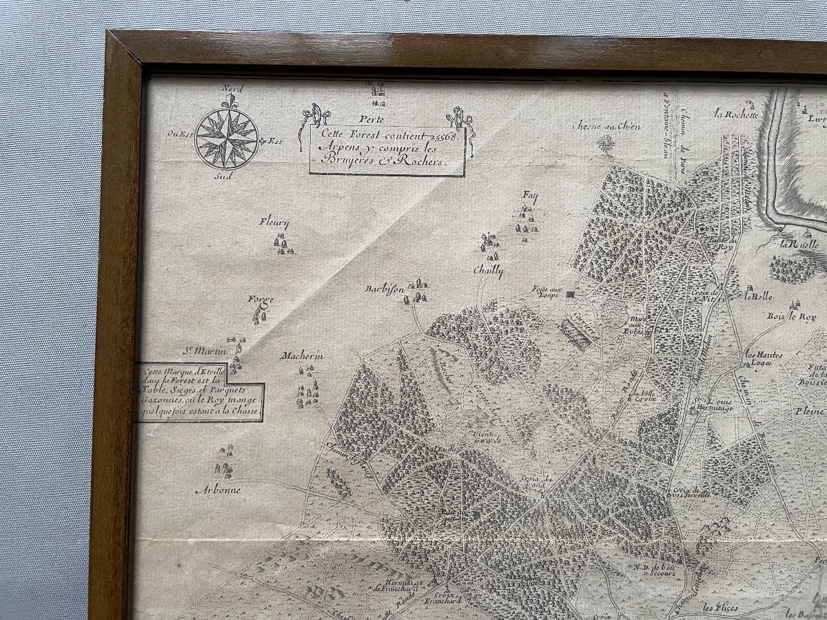
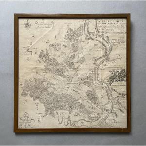


Old Map Of The Forêt De Fontainebleau
Antique map of the Forest of Fontainebleau, 18th century
Framed and under glass
Frame : 45.5 x 44.5 cm
Framed and under glass
Frame : 45.5 x 44.5 cm
Shipment by Colissimo with signature.
Packaged with care.
Unless otherwise stated, the items published on Proantic are not exhibited at the Saint-Ouen flea market.
You do, however, have the possibility of collecting your purchases from our stand at the Marché Jules Vallès by making a request.
200 €
Period: 18th century
Style: Other Style
Condition: Good condition
Material: Paper
Width: 44,5 cm
Height: 45,5 cm
Reference (ID): 1776433
Availability: In stock
Print