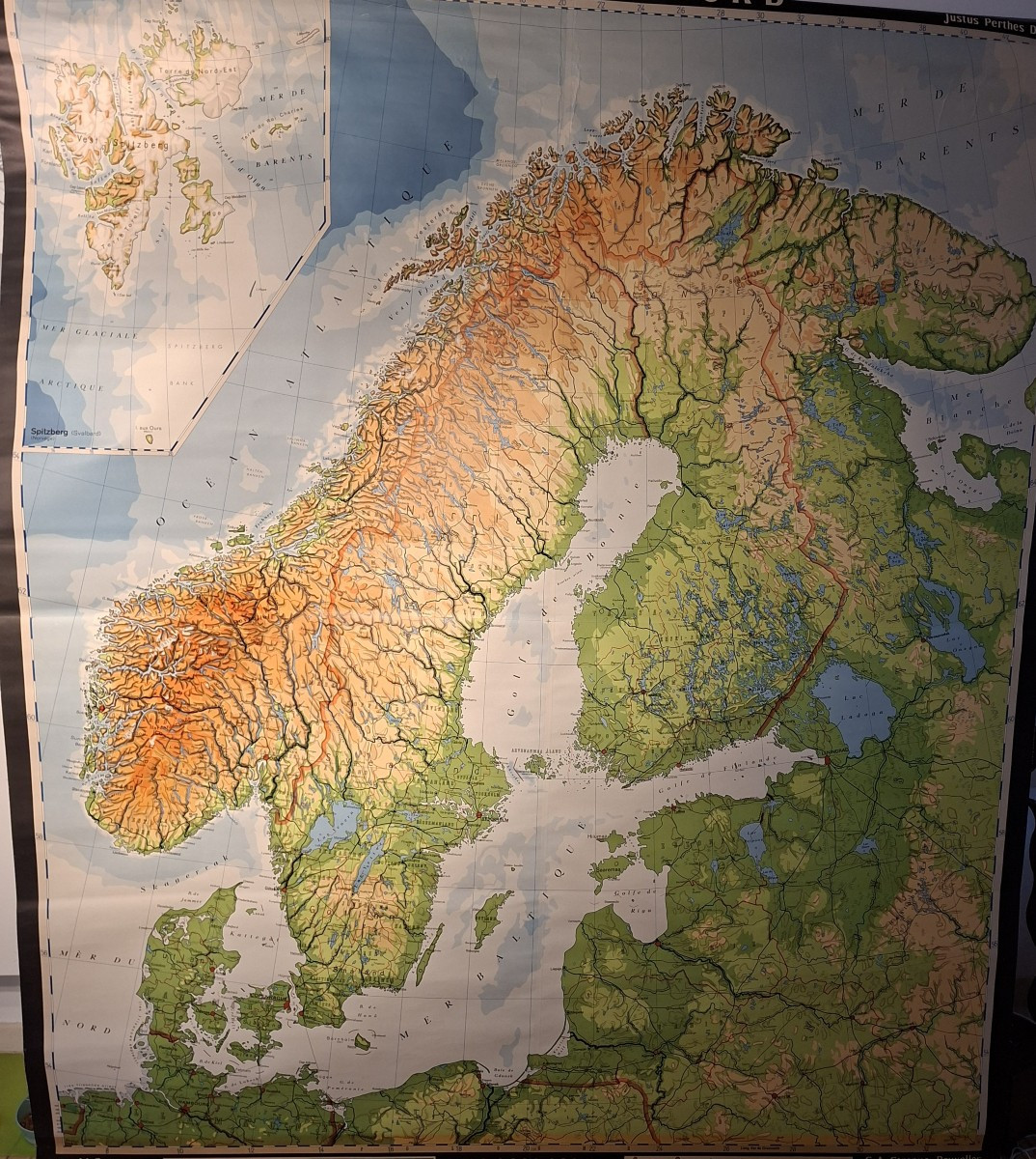

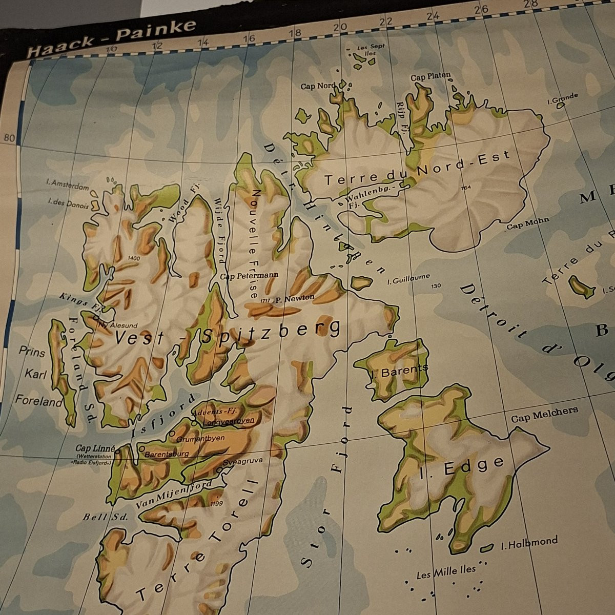
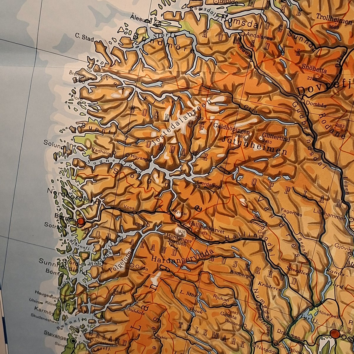

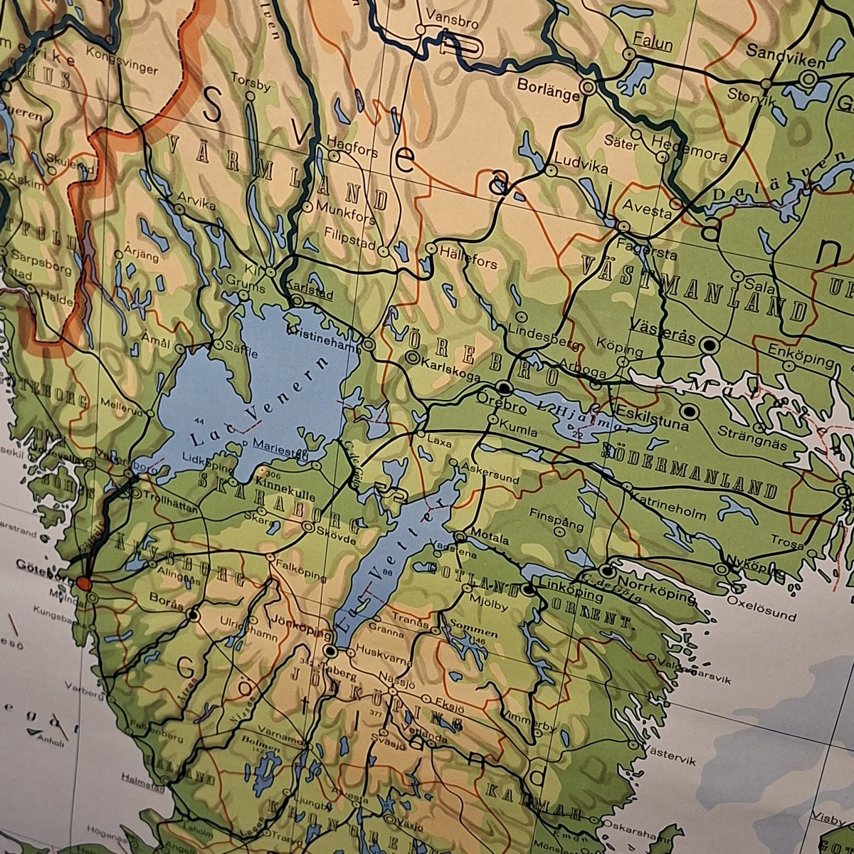
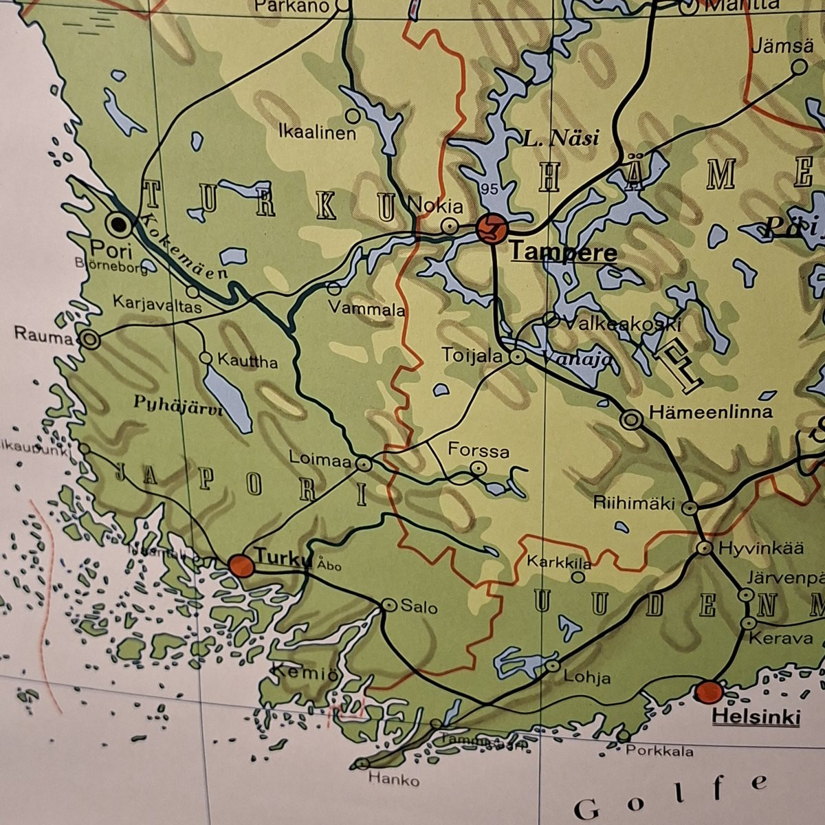
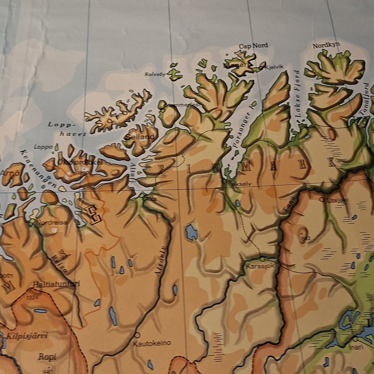
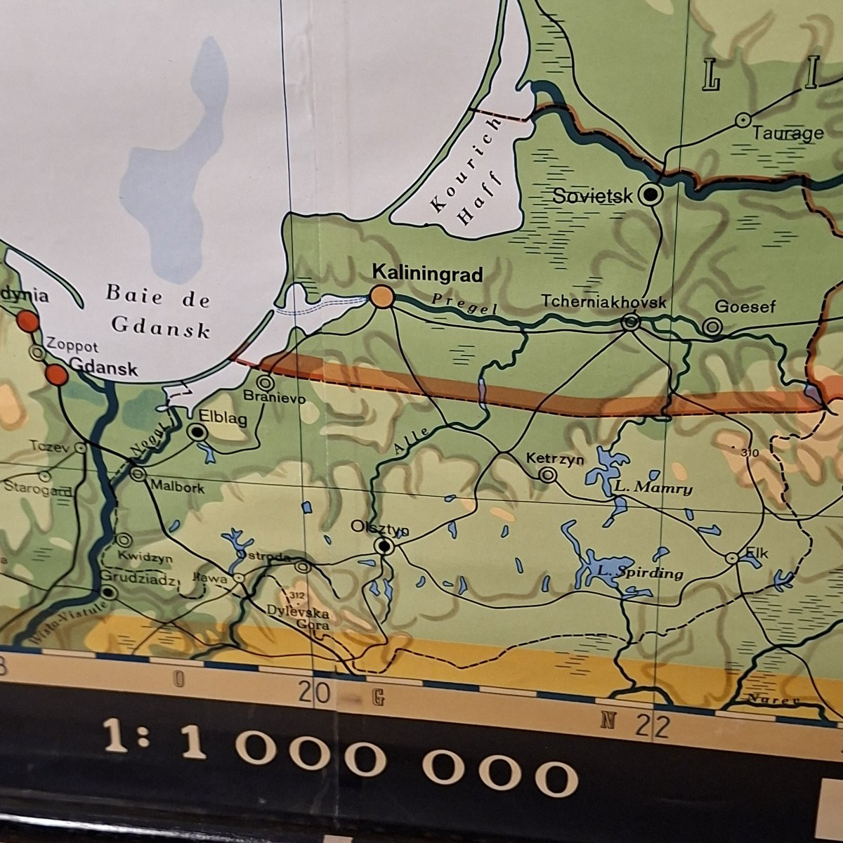
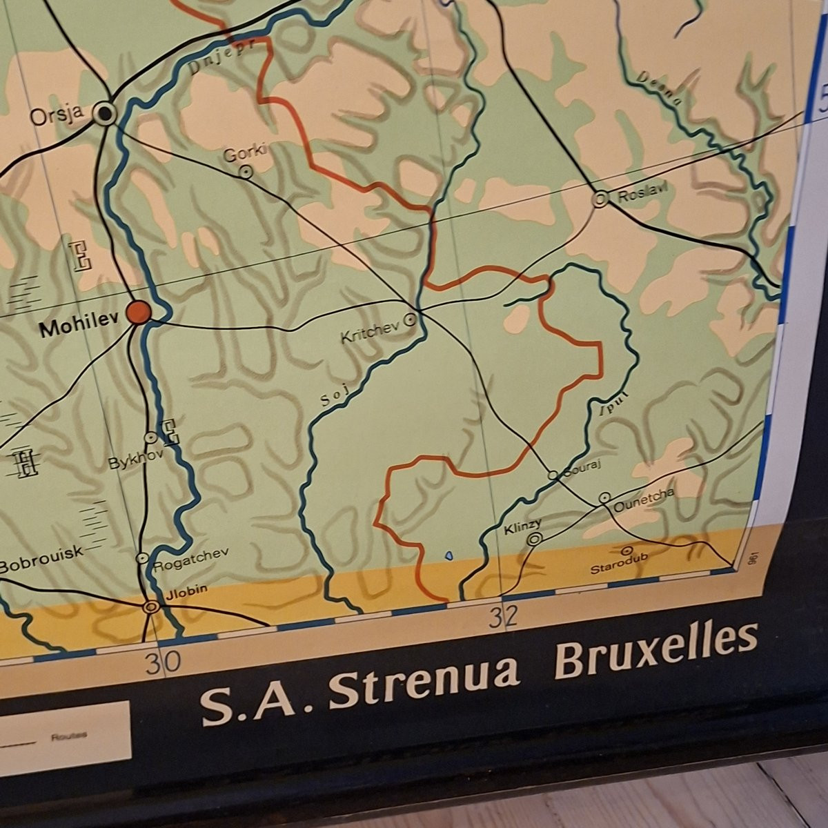
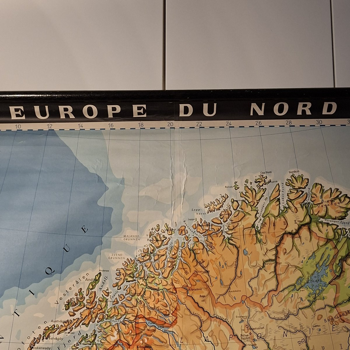


Huge Northern Europe Educational Map On Canvas
If you have a large wall, If you are planning a trip, If you want to be an expert in geography quizzes If you explore all the fjords of Norway while following the news from the Baltic… If… Please fill in this space with your motivations… You need this map, canvas support, educational like we used to do, Brand new, full of colors.
350 €
Period: 20th century
Style: Other Style
Condition: Excellent condition
Material: Other
Width: 210
Height: 236
Reference (ID): 1635134
Availability: In stock
Print