
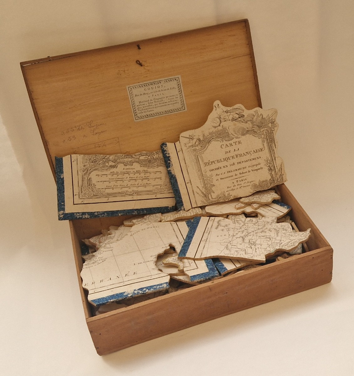

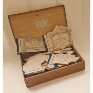


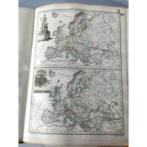
"Large Puzzle Map Of France Delamarche, C. 1802"
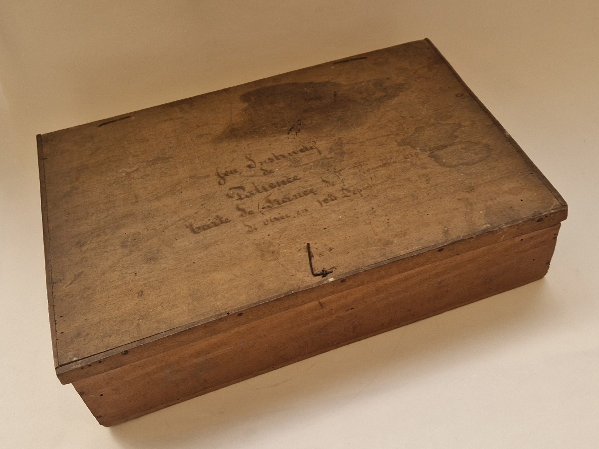
[GEOGRAPHIC PUZZLE]. DELAMARCHE (Charles-François) Map of the French Republic divided into 108 departmentsParis, rue du Foin S[ain]t Jacques, at the Collège de M[aî]tre Gervais, undated [ca 1802-1805]. Map engraved on paper (65.5x53 cm), with outlines of the departments colored in different colors, mounted on wood at the time and cut to form a puzzle, wooden box of the time bearing the label of the dealer Goujon, geography dealer rue du Bac in Paris. Item #4998Rare and large geographical puzzle based on a map of the French departments by the famous cartographer Delamarche père. The first geographical puzzles appeared in England in the 1750s-1760s. This one is quite early in French production and is of a very unusual size. Although the title suggests that the map was produced under the First Republic, the number of departments – 108 – dates it to around 1802. Indeed, it was in 1802 that France went from the initial 83 departments of 1790 to 108, with the nine Belgian departments, the four Rhine departments, the Geneva department and the six Piedmontese departments. Originally, this map was apparently not intended to be mounted on wood to form a puzzle, since we know of no other copies. This is probably an initiative of J. Goujon, who was a geography merchant at No. 6 rue du Bac in Paris from 1805 to 1820. The number of French departments increasing to 110 by 1805, we can imagine that this puzzle was not made later than this date, that is to say at the very beginning of Goujon's period of activity. 2 pieces remade in facsimile. 


 Le Magazine de PROANTIC
 TRÉSORS Magazine
 Rivista Artiquariato